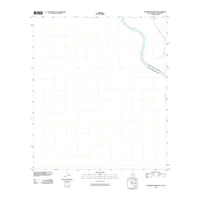
2010 Map of Zuberbueler Bend NW
USGS Topo · Published 2010About this map
The Rio Grande serves as the primary geographic and political centerpiece of this 2010 borderland survey, tracing the international boundary between the United States of America and Estados Unidos Mexicanos. This section of the river is characterized by its transition into the Amistad Reservoir, where the impounded waters fill the winding canyon. The map illustrates the sparsely populated terrain along the river's edge, highlighting how the waterway continues to dictate the orientation of regional borders and water management even decades after the reservoir's creation.
Find a feature on this map
4 named features on this map. Tap any name to fly to it.
Don’t see what you’re looking for? This feature index may not catch every label — zoom into the map to look around manually.
Map Details
Editions of this 2010 Zuberbueler Bend NW Map
This is the sole edition of this map. No revisions or reprints were ever made.
Other maps of this area

1943 · Langtry
USGS Topo · 1:62,500

1943 · Shumla
USGS Topo · 1:62,500

1944 · Mouth Of Pecos
USGS Topo · 1:62,500

1958 · Del Rio
USGS Topo · 1:250,000

1964 · Del Rio
USGS Topo · 1:250,000
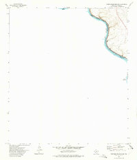
1972 · Zuberbueler Bend NW
USGS Topo · 1:24,000

1972 · Seminole Canyon
USGS Topo · 1:24,000
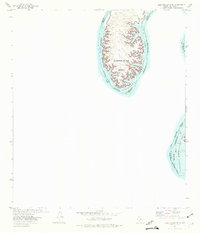
1972 · Zuberbueler Bend
USGS Topo · 1:24,000

1973 · Langtry
USGS Topo · 1:24,000
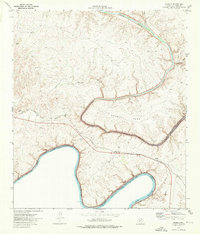
1973 · Shumla
USGS Topo · 1:24,000