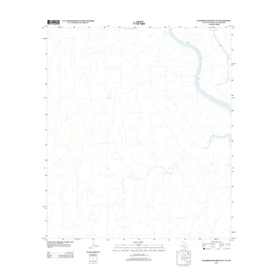
2013 Map of Zuberbueler Bend NW
USGS Topo · Published 2013About this map
The Rio Grande serves as the dominant geographical feature on this borderlands survey, carving a dramatic serpentine path through the arid landscape of the Texas-Mexico border. This 2013 edition illustrates the extreme isolation of the region, where the terrain is defined by a dense network of dry arroyos and canyons that drain toward the river. Unlike many USGS quadrangles, this specific map is nearly devoid of named human infrastructure, settlements, or improvements, offering a stark representation of the primitive physical geography. The river itself marks the international boundary, weaving through steep-walled bends that characterize this specific reach of the desert border south of the United States. It is a rare look at a landscape where the river is the singular named landmark and the primary shaper of the regional topography.
Find a feature on this map
1 named feature on this map. Tap any name to fly to it.
Don’t see what you’re looking for? This feature index may not catch every label — zoom into the map to look around manually.
Map Details
Editions of this 2013 Zuberbueler Bend NW Map
This is the sole edition of this map. No revisions or reprints were ever made.
Other maps of this area

1943 · Langtry
USGS Topo · 1:62,500

1943 · Shumla
USGS Topo · 1:62,500

1944 · Mouth Of Pecos
USGS Topo · 1:62,500

1958 · Del Rio
USGS Topo · 1:250,000

1964 · Del Rio
USGS Topo · 1:250,000
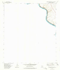
1972 · Zuberbueler Bend NW
USGS Topo · 1:24,000

1972 · Seminole Canyon
USGS Topo · 1:24,000
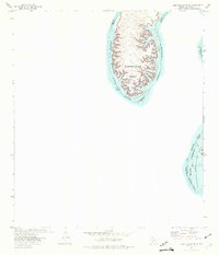
1972 · Zuberbueler Bend
USGS Topo · 1:24,000

1973 · Langtry
USGS Topo · 1:24,000
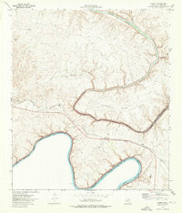
1973 · Shumla
USGS Topo · 1:24,000