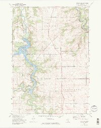
1972 Map of Zumbro Lake
USGS Topo · Published 1975About this map
Zumbro Lake dominates the central landscape of this early 1970s survey, marking the confluence where the Middle Fork and South Fork Zumbro River meet. The serpentine reservoir is framed by the Minnesota Memorial Hardwood State Forest, showing a transition from the structured recreational spaces of Cedar Beach and Kings Park to the steeper, wooded bluffs of Rattlesnake Point.
Find a feature on this map
25 named features on this map. Tap any name to fly to it.
Don’t see what you’re looking for? This feature index may not catch every label — zoom into the map to look around manually.
Map Details
Editions of this 1972 Zumbro Lake Map
2 editions found
Other maps of this area

1935 · Rochester
USGS Topo · 1:48,000

1939 · Rochester
USGS Topo · 1:62,500

1951 · Lake City
USGS Topo · 1:62,500

1953 · Saint Paul
USGS Topo · 1:250,000

1959 · Saint Paul
USGS Topo · 1:250,000

1965 · Oronoco
USGS Topo · 1:24,000

1966 · Douglas
USGS Topo · 1:24,000

1968 · Mazeppa
USGS Topo · 1:24,000
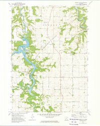
1972 · Zumbro Lake
USGS Topo · 1:24,000
1972 · Rochester
USGS Topo · 1:24,000