
Historical Maps of Woodward County
All Maps (46)
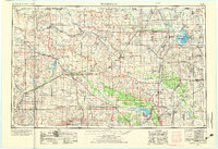
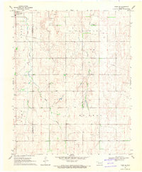
- 1955 Map of Woodward County, OK, 1967 Print
 1955 Woodward CountyIncludes Woodward, OK, Kansas, and othersOriginally titled "Woodward 1955"Published 1967
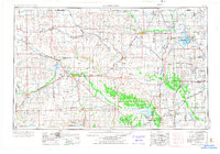
 - 1955 Map of Woodward County, OK, 1973 Print
 1955 Woodward CountyIncludes Woodward, OK, Kansas, and othersOriginally titled "Woodward 1955"Published 1973
 - 1955 Map of Woodward County, OK, 1973 Print
 1955 Woodward CountyIncludes Woodward, OK, Kansas, and othersOriginally titled "Woodward 1955"Published 1973
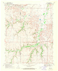
 - 1958 Map of Woodward County, OK
 1958 Woodward CountyIncludes Woodward, OK, Kansas, and othersOriginally titled "Woodward 1958"Published 1958
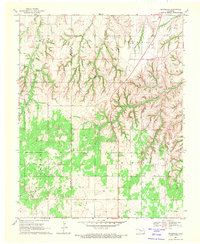
 - 1969 Map of Woodward County, OK, 1971 Print
 1969 Woodward CountyIncludes Woodward County, OK, Major County, OK, and othersOriginally titled "Belva 1969"Published 1971
 - 1969 Map of Woodward County, OK, 1971 Print
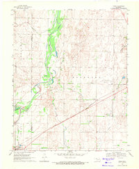
 1969 Woodward CountyIncludes Woodward County, OK, Major County, OK, and othersOriginally titled "Cedardale 1969"Published 1971
 - 1969 Map of Woodward County, OK, 1971 Print
 1969 Woodward CountyIncludes Woodward County, OK, Ellis County, OK, and othersOriginally titled "Fargo SE 1969"Published 1971
 - 1969 Map of Woodward County, OK, 1971 Print
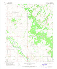
 1969 Woodward CountyIncludes Woodward County, OK, Fargo, OK, and othersOriginally titled "Fargo 1969"Published 1971
 - 1969 Map of Woodward County, OK, 1971 Print
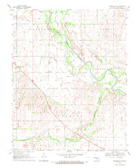
 1969 Woodward CountyIncludes Woodward County, OK, and othersOriginally titled "Mooreland SE 1969"Published 1971
 - 1969 Map of Woodward County, OK, 1971 Print
 1969 Woodward CountyIncludes Woodward County, OK, and othersOriginally titled "Mooreland SW 1969"Published 1971
Top cities related to Woodward County
Top counties related to Woodward County
Frequently asked questions about Woodward County historical maps
Can I purchase a physical print of a historical map of Woodward County?
Yes! Every map in our collection can be purchased as a museum-quality print that we meticulously lay out by hand to ensure the highest quality final product. We offer a variety of sizes and prints can be either framed or unframed. Explore purchase options by clicking the "Buy Print" button on any map page.
Why are historical maps of Woodward County important for research and professional purposes?
Historical maps of Woodward County offer a unique perspective on an area's past, making them invaluable for environmental consultants, surveyors, legal professionals, geneologists, historians, and hobbyists alike. They are used in environmental site assessments, lot line research, and land dispute resolution.
What types of historical maps are available for Woodward County?
Our diverse collection includes detailed topographic maps from the United States Geological Survey's Historical Topographic Map Collection as well as from a variety of public and private collections we've sourced, each providing a unique glimpse into Woodward County's past. We'll soon begin to offer historical aerial images as well.
What advanced features do you offer for professional use?
We offer advanced features including 3D terrain visualization, georeferencing, customizeable base maps, multi-layering capabilities, and annotation tools. These features allow for in-depth analysis, customization, and report building utilizing our historical map collection.
How can I find a specific historical map of Woodward County?
Our platform has over 185,000 fully digitized and interactive maps, and 46 maps available specifically for Woodward County. You can easily filter and search by address, place, date, scale, or landmark to find the specific map they need, or browse our collection by city, county, and state.
How can I contribute a historical map of Woodward County that's not in your collection?
We welcome contributions! If you have a map that isn't in our collection, reach out to us at hello@pastmaps.com. We can assist with digitizing individual maps or entire collections.
What is the oldest map of Woodward County in your collection?
The oldest map of Woodward County in our collection is from 1955.
How can I download a map of Woodward County?
Every map in our collection can be freely downloaded as a high-resolution GeoTIFF or GeoPDF file. You can use this file with mapping software or print it out for personal use.