Trusted by 1M+ explorers
Travel back in time
Uncover lost roads, forgotten towns, and the history hidden beneath your feet.

Get started with these maps near you
See all nearby maps →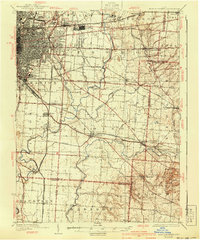


Simple to use
How Pastmaps works
Search any place
Type a city, county, or state. We'll show you every historical map we have for that area.
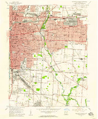
Fade between past & present
Drag the opacity slider to watch the landscape transform. See what vanished, what survived, and what changed.
Make a discovery
Find the house that used to stand on your land, the creek that got buried, or the road your ancestors walked.
Made for explorers like you
Maps for every kind of discovery
Find out what stood where you live
Discover when your home was built, what used to be on your land, and how your neighborhood transformed over the decades. Old maps reveal vanished structures, rerouted waterways, and forgotten landmarks hiding in plain sight.
“I stared at maps last night for a long time. These brick columns pre-date the current street grid, from when there was a road here that no longer exists. This is a big breakthrough!”
— Trevor S.
Walk where your ancestors walked
See the exact neighborhood your great-grandparents lived in. Find the church where they married, the school their children attended, the roads that shaped their daily lives.
“I was looking for the name of a rural school where my mother attended about 1915. I found the school on your map — with the name attached!”
— Orville H.
Know exactly where to dig
Locate demolished homesteads, abandoned town sites, old fairgrounds, and forgotten crossroads. Historical maps reveal structures that left no visible trace on the modern landscape.
“My husband and I are using it to research our metal detecting adventures!”
— Corrie G.
Discover what the trail doesn't show you
Find ghost towns, abandoned railroads, old mining camps, and hidden airstrips. Download maps as KMZ to overlay them in Gaia GPS, Avenza, or CalTopo — and turn an ordinary hike into a time-traveling expedition.
“I found on old Sanborn maps that French Creek had a channel that no longer exists. It's a rabbit hole... I'm fascinated with old maps!”
— Debbie C.
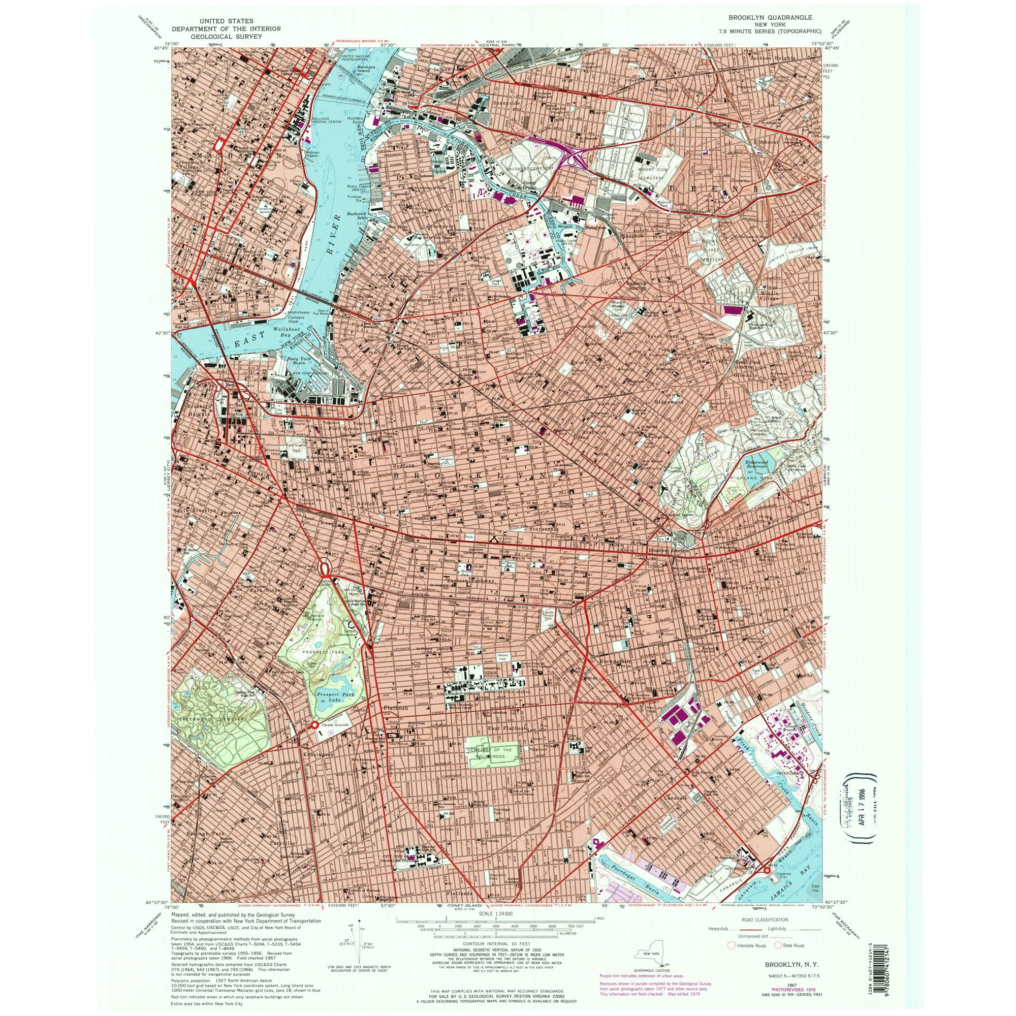
Primary sources, georeferenced and ready
185,000+ maps across 200+ years, georeferenced and overlaid on the modern world. Download high-resolution images for papers, presentations, and classroom use.
“My wife and I are career history teachers. It was fun to poke around the maps... and I love the opacity control!!”
— Nathan C.
From our community
Real stories from real explorers
“I went down that fun research rabbit hole and found a helpful map in your fantastic collection — a 1955 map that shows a structure where my house currently is.”
Renée L.
Discovered when her house was built
“I discovered the opacity slider and what it can illustrate. That is a real joy. Trying to square my 70-year-old recollections with the map is fascinating.”
Kenton S.
Matching old photos to historical maps
“I am so thankful I found your site. Cheers to you and your wife. My family settled Albuquerque in the early to mid 1600's on behalf of Spain. This is the only map I have found — so THANK YOU!!”
Lee Ann B.
Tracing her family's 400-year-old ranch
Built by Craig & Savannah in Seattle
A husband & wife team making history accessible to everyone
The Toolkit
Everything you need to explore history
Search & find
Type any U.S. location and find every historical map covering that area — some dating back to the 1700s.
Fade between past & present
Our signature opacity slider lets you watch buildings vanish, waterways reappear, and entire landscapes transform. Users call it "a real joy."
3D, satellite & LiDAR
Combine historical maps with elevation data and satellite imagery to reveal hidden terrain and lost features.
Hi-res downloads
Download any map as GeoPDF, GeoTIFF, or KMZ — for printing, research, or overlaying in Google Earth, Gaia GPS, Avenza, and CalTopo.
Map Print Shop
Take history off the screen and onto your wall
Museum-quality prints of any historical map. Frame the neighborhood where your family grew up, the town your ancestors built, or the landscape you love to explore.
No subscription required — browse and order anytime.
Browse Prints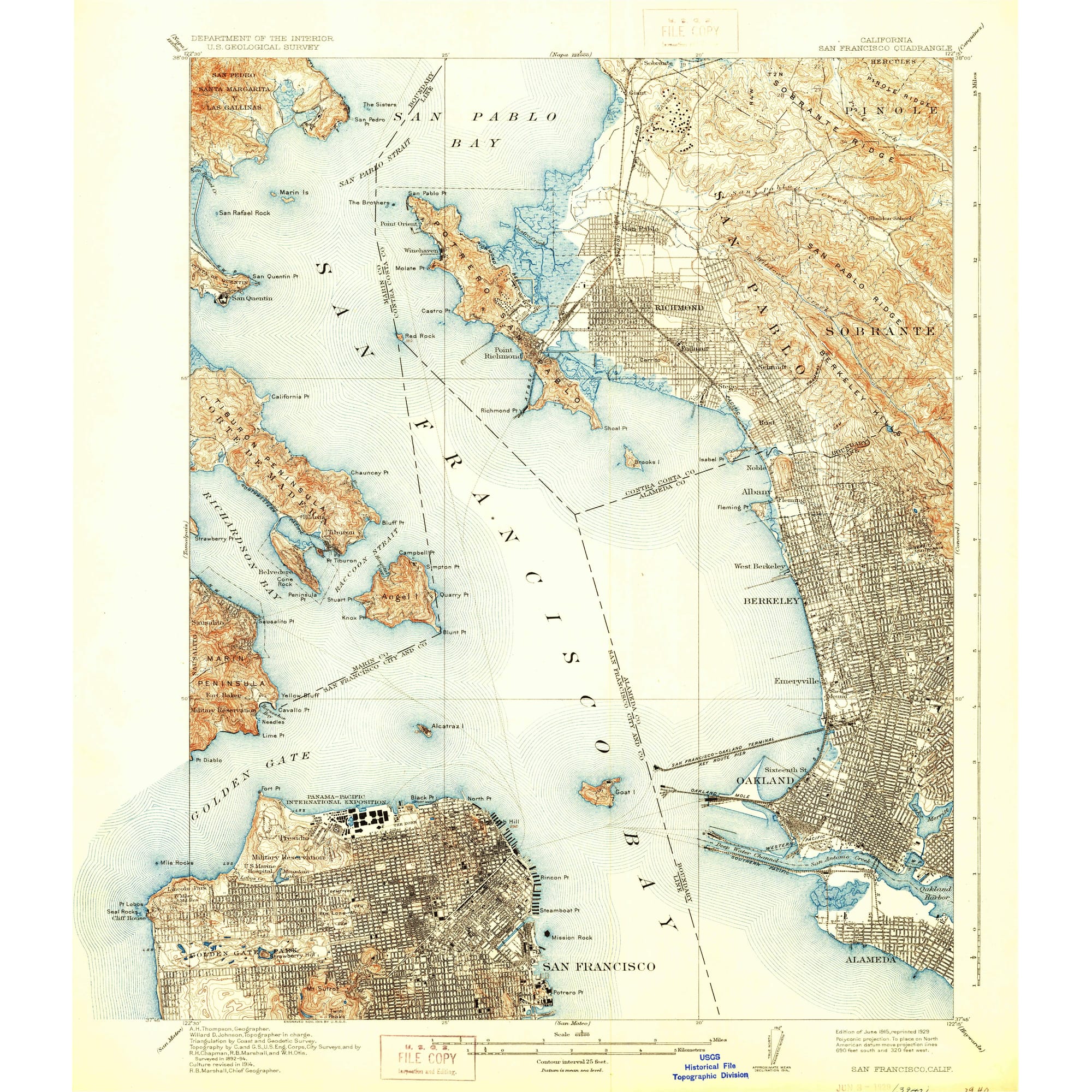
Choose your path
Start free, go deeper when you’re ready
Free Account
- Search the full collection of 185,000+ maps
- Explore a limited number of maps each week
- No credit card required
Full Access
Billed annually at $52, or $9/week pay-as-you-go
- Unlimited access to every map
- Hi-res downloads you keep forever
- 3D terrain, LIDAR & satellite layers
- Full suite of overlay tools
Most people start with a free account, explore for a while, and upgrade when they’re ready for more. No pressure.
What will you discover?
Most people come for one map and stay for twenty.
Over 185,000 maps. 200+ years of history.