2000s (21st Century) Maps of Puerto Rico
Explore 241 historic maps of Puerto Rico from the 2000s (21st Century). These maps offer a rare glimpse into what life looked like during the 2000s — showing old roads, neighborhoods, homes, and landmarks that have changed or disappeared over time.
Whether you're researching your family's past, planning a metal detecting trip, or studying how Puerto Rico's landscape evolved across the 2000s, these high-resolution maps are a powerful tool for exploring the history of this region.
- Focus on a specific era: All maps on this page are from the 2000s, giving you a focused view of this time period.
- See what’s changed: Compare century-old streets, trails, and buildings to today's modern landscape using overlays and satellite layers.
- Research with precision: Use these maps for genealogy, historical research, land use analysis, or educational projects.
- View, download, or print: Maps are fully viewable online in high resolution, and can be downloaded or printed for your own records.
Start exploring Puerto Rico's history through authentic maps from the 2000s. This is your window into the past.
Puerto Rico maps
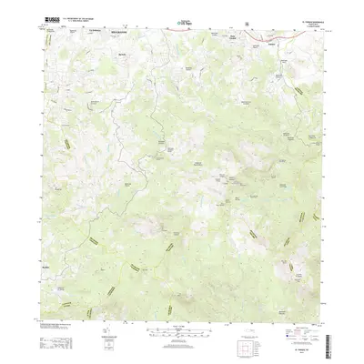
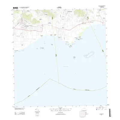
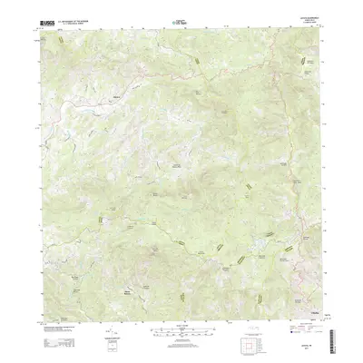
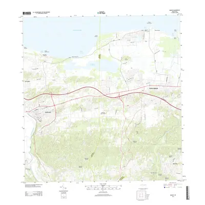
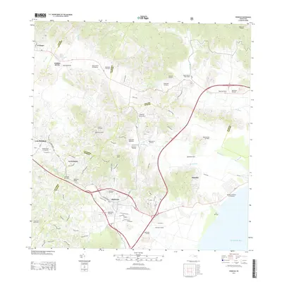
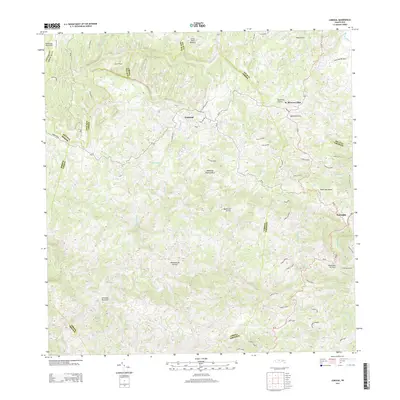
(241)- 2013 Map of Patillas, 2013 Print
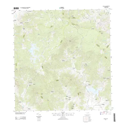 2013 Patillas2013 Print · USGSCovers Puerto Rico, including Patillas, Sector Hormiga, and other nearby areas
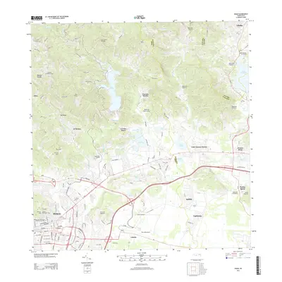
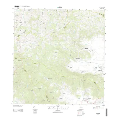
 - 2013 Map of Coamo, 2013 Print
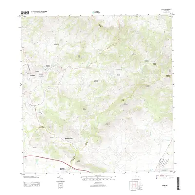 2013 Coamo2013 Print · USGSCovers Puerto Rico, including Coamo, Cayures, and other nearby areas
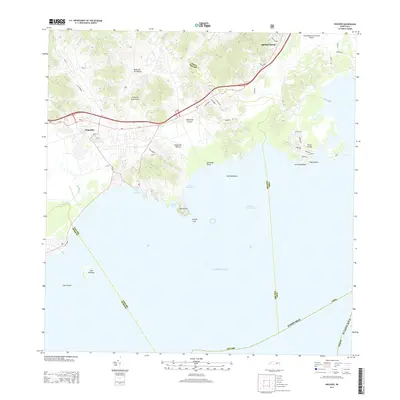
 - 2013 Map of Barceloneta, 2013 Print
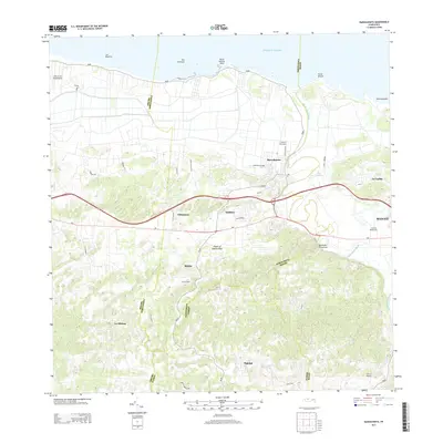 2013 Barceloneta2013 Print · USGSCovers Puerto Rico, including Barceloneta, Sector Cerro Morales, and other nearby areas
 - 2013 Map of Rio Descalabrado, 2013 Print
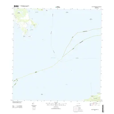
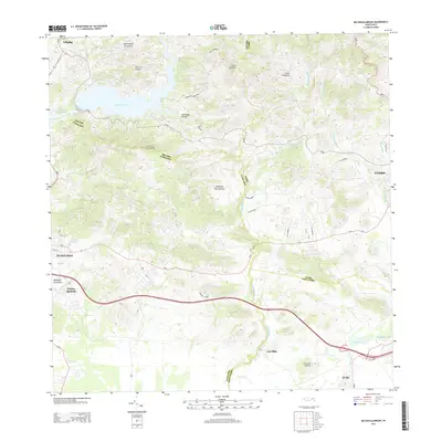 2013 Rio Descalabrado2013 Print · USGSCovers Puerto Rico, including Sector Sierrita, Sector Villa Pote, and other nearby areas
 - 2013 Map of El Yunque, 2013 Print
 2013 El Yunque2013 Print · USGSCovers Puerto Rico, including Sector Rosado, Palma Sola, and other nearby areas
 - 2013 Map of Ponce, 2013 Print
 2013 Ponce2013 Print · USGSCovers Puerto Rico, including Ponce, Juana Díaz, and other nearby areas
 - 2013 Map of Naguabo, 2013 Print
 2013 Naguabo2013 Print · USGSCovers Puerto Rico, including Naguabo, Estación Botija, and other nearby areas
 - 2013 Map of Isla De Vieques West, 2013 Print
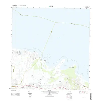
 2013 Isla De Vieques West2013 Print · USGSCovers Puerto Rico, including Mosquito, Florida, and other nearby areas
 - 2013 Map of Guayama, 2013 Print
 2013 Guayama2013 Print · USGSCovers Puerto Rico, including Guayama, Arroyo, and other nearby areas
 - 2013 Map of Orocovis, 2013 Print
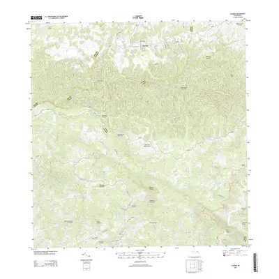
 2013 Orocovis2013 Print · USGSCovers Puerto Rico, including Villalba, Orocovis, and other nearby areas
 - 2013 Map of Juncos, 2013 Print
 2013 Juncos2013 Print · USGSCovers Puerto Rico, including San Lorenzo, Juncos, and other nearby areas
 - 2013 Map of Comerio, 2013 Print
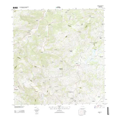 2013 Comerio2013 Print · USGSCovers Puerto Rico, including Cidra, Comerío, and other nearby areas
 - 2013 Map of Jayuya, 2013 Print
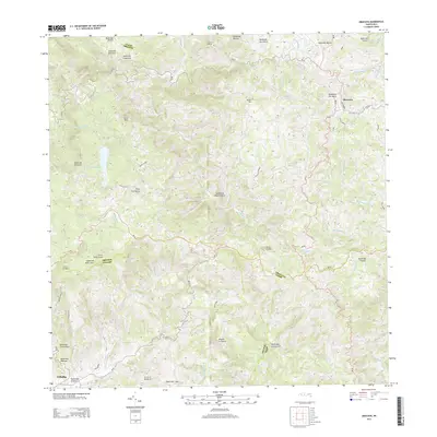
 2013 Jayuya2013 Print · USGSCovers Puerto Rico, including Jayuya, Hacienda Santa Rosa, and other nearby areas
 - 2013 Map of Yabucoa, 2013 Print
 2013 Yabucoa2013 Print · USGSCovers Puerto Rico, including Yabucoa, Maunabo, and other nearby areas
 - 2013 Map of Isla De Vieques Central, 2013 Print
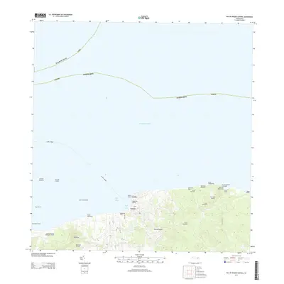 2013 Isla De Vieques Central2013 Print · USGSCovers Puerto Rico, including Isabel Segunda, Quintas de Santa Elena, and other nearby areas
 - 2013 Map of Vega Alta, 2013 Print
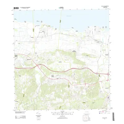 2013 Vega Alta2013 Print · USGSCovers Puerto Rico, including Dorado, Vega Alta, and other nearby areas
 - 2013 Map of Manati, 2013 Print
 2013 Manati2013 Print · USGSCovers Puerto Rico, including Vega Baja, Manatí, and other nearby areas
 - 2013 Map of Florida, 2013 Print
 2013 Florida2013 Print · USGSCovers Puerto Rico, including Florida, Hacienda San José, and other nearby areas
 - 2013 Map of Barranquitas, 2013 Print
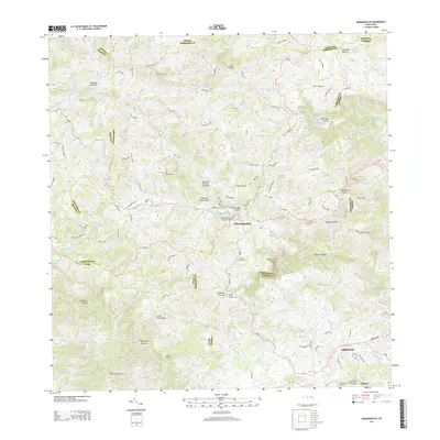 2013 Barranquitas2013 Print · USGSCovers Puerto Rico, including Aibonito, Barranquitas, and other nearby areas
 - 2013 Map of Rio Grande, 2013 Print
 2013 Rio Grande2013 Print · USGSCovers Puerto Rico, including Río Grande, Lindo Mar, and other nearby areas
 - 2013 Map of Humacao, 2013 Print
 2013 Humacao2013 Print · USGSCovers Puerto Rico, including Humacao, Las Piedras, and other nearby areas
 - 2013 Map of Punta Tuna, 2013 Print
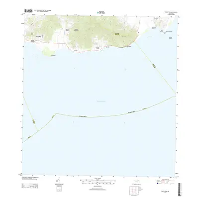 2013 Punta Tuna2013 Print · USGSCovers Puerto Rico, including Sector Higuero, Sector Bordaleza, and other nearby areas
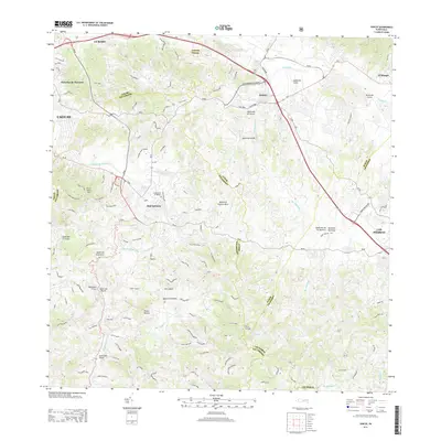
 - 2013 Map of Aguas Buenas, 2013 Print
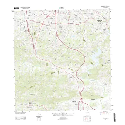 2013 Aguas Buenas2013 Print · USGSCovers Puerto Rico, including Guaynabo, Trujillo Alto, and other nearby areas
 - 2013 Map of Naranjito, 2013 Print
 2013 Naranjito2013 Print · USGSCovers Puerto Rico, including Naranjito, Villas del Olimpo, and other nearby areas
 - 2013 Map of Corozal, 2013 Print
 2013 Corozal2013 Print · USGSCovers Puerto Rico, including Corozal, Benito Nieves (Los Quiles), and other nearby areas
Showing maps 1-25 of 241
Top regions of Puerto Rico
- San Juan historical maps
- Bayamón historical maps
- Carolina historical maps
- Ponce historical maps
- Caguas historical maps
- Guaynabo historical maps
See more
Top cities of Puerto Rico
- San Juan historical maps
- Bayamón historical maps
- Carolina historical maps
- Ponce historical maps
- Caguas historical maps
- Guaynabo historical maps
See more
Frequently asked questions
- What are the different types of historical maps available for Puerto Rico?
- What is the oldest map of Puerto Rico?
- Where can I purchase historical maps of Puerto Rico for my home or office?
- Where can I download high-res historical maps of Puerto Rico?
- Are there historical topographic maps available for Puerto Rico?
- Is there historical aerial imagery available for Puerto Rico?
- Where are historical maps of Puerto Rico sourced from?