2000s (21st Century) Maps of Bay Minette, Alabama
Explore 21 historic maps of Bay Minette from the 2000s (21st Century). These maps offer a rare glimpse into what life looked like during the 2000s — showing old roads, neighborhoods, homes, and landmarks that have changed or disappeared over time.
Whether you're researching your family's past, planning a metal detecting trip, or studying how Bay Minette's landscape evolved across the 2000s, these high-resolution maps are a powerful tool for exploring the history of this region.
- Focus on a specific era: All maps on this page are from the 2000s, giving you a focused view of this time period.
- See what’s changed: Compare century-old streets, trails, and buildings to today's modern landscape using overlays and satellite layers.
- Research with precision: Use these maps for genealogy, historical research, land use analysis, or educational projects.
- View, download, or print: Maps are fully viewable online in high resolution, and can be downloaded or printed for your own records.
Start exploring Bay Minette's history through authentic maps from the 2000s. This is your window into the past.
Bay Minette, AL maps
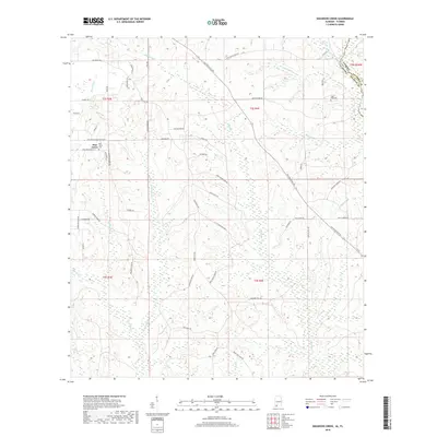
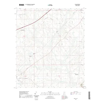
(21)- 2003 Map of Dyas
 2003 Dyas2003 Print · USGSThe Alabama and Florida borderlands come to life in this early 2000s survey, showing the rural communities and timberlands of Baldwin and Escambia Counties. Genealogists and local historians can trace family roots through landmarks like New Providence Church and Perdido Cemetery or locate the small settlements of Dyas and Phillipsville.
 - 2011 Map of Bay Minette South, 2011 Print
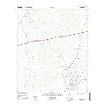
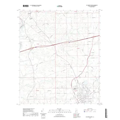
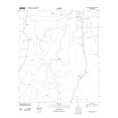 2011 Bay Minette South2011 Print · USGSCovers Bay Minette, including Spanish Fort, Carpenter, and other nearby areas
 - 2011 Map of Dogwood Creek, 2011 Print
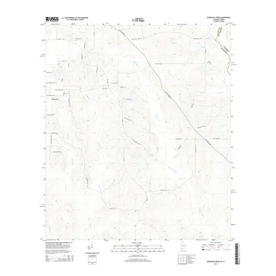
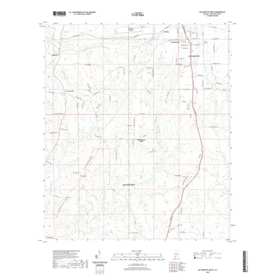
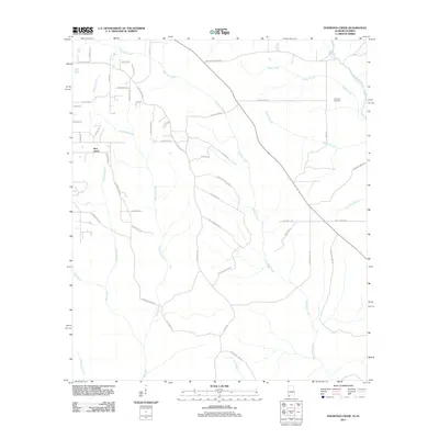 2011 Dogwood Creek2011 Print · USGSCovers Bay Minette, including Pine Grove, Escambia County, and other nearby areas
 - 2011 Map of Dyas, 2011 Print
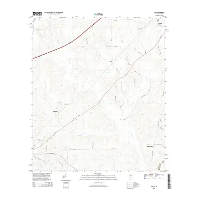
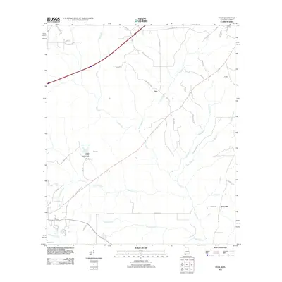 2011 Dyas2011 Print · USGSCovers Bay Minette, including Dyas, Phillipsville, and other nearby areas
 - 2011 Map of Bay Minette North, 2011 Print
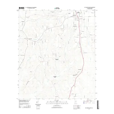
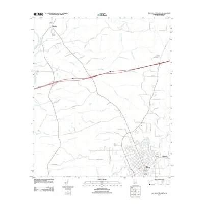 2011 Bay Minette North2011 Print · USGSCovers Bay Minette, including Eastwood, Stockton, and other nearby areas
 - 2014 Map of Bay Minette North, 2014 Print
 2014 Bay Minette North2014 Print · USGSCovers Bay Minette, including Eastwood, Stockton, and other nearby areas
 - 2014 Map of Dogwood Creek, 2014 Print
 2014 Dogwood Creek2014 Print · USGSCovers Bay Minette, including Pine Grove, Escambia County, and other nearby areas
 - 2014 Map of Bay Minette South, 2014 Print
 2014 Bay Minette South2014 Print · USGSCovers Bay Minette, including Spanish Fort, Carpenter, and other nearby areas
 - 2014 Map of Dyas, 2014 Print
 2014 Dyas2014 Print · USGSCovers Bay Minette, including Dyas, Phillipsville, and other nearby areas
 - 2018 Map of Dogwood Creek, 2018 Print
 2018 Dogwood Creek2018 Print · USGSCovers Bay Minette, including Pine Grove, Escambia County, and other nearby areas
 - 2018 Map of Dyas, 2018 Print
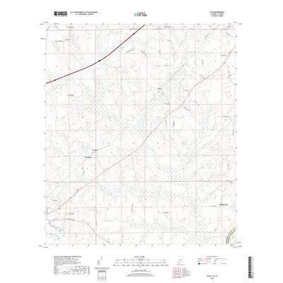 2018 Dyas2018 Print · USGSCovers Bay Minette, including Dyas, Phillipsville, and other nearby areas
 - 2018 Map of Bay Minette South, 2018 Print
 2018 Bay Minette South2018 Print · USGSCovers Bay Minette, including Spanish Fort, Carpenter, and other nearby areas
 - 2018 Map of Bay Minette North, 2018 Print
 2018 Bay Minette North2018 Print · USGSCovers Bay Minette, including Eastwood, Stockton, and other nearby areas
 - 2020 Map of Bay Minette South, 2020 Print
 2020 Bay Minette South2020 Print · USGSCovers Bay Minette, including Spanish Fort, Carpenter, and other nearby areas
 - 2020 Map of Dyas, 2020 Print
 2020 Dyas2020 Print · USGSCovers Bay Minette, including Dyas, Phillipsville, and other nearby areas
 - 2020 Map of Bay Minette North, 2020 Print
 2020 Bay Minette North2020 Print · USGSCovers Bay Minette, including Eastwood, Stockton, and other nearby areas
 - 2020 Map of Dogwood Creek, 2020 Print
 2020 Dogwood Creek2020 Print · USGSCovers Bay Minette, including Pine Grove, Escambia County, and other nearby areas
 - 2024 Map of Bay Minette South, 2024 Print
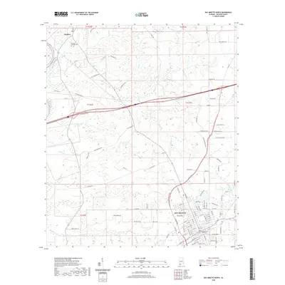
 2024 Bay Minette South2024 Print · USGSBaldwin County in the 2020s remains a landscape of deep-rooted family history and growing crossroads communities. Genealogists and local historians can trace family lines through the Hall Family Graveyard, Chastang Cem, and the rural settlements of Whitehouse Forks and Stapleton.
 - 2024 Map of Dogwood Creek, 2024 Print
 2024 Dogwood Creek2024 Print · USGSThe Alabama-Florida borderlands near Bay Minette come into focus in this contemporary survey of rural Baldwin County. Researchers can locate family sites and burial grounds like Jones Cem, High Pine Cem, and the settlement of Pine Grove.
 - 2024 Map of Dyas, 2024 Print
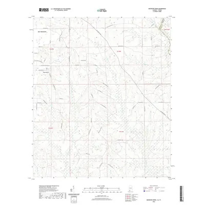
 2024 Dyas2024 Print · USGSCoastal Alabama and the Florida borderlands are captured in this recent survey of the Perdido area. Genealogists and historians can trace family locations near Dyas Cem, Gideon's Cem, and the historic settlements of Pinchona and Carney.
 - 2024 Map of Bay Minette North, 2024 Print
 2024 Bay Minette North2024 Print · USGSBaldwin County settlement and the upper Tensaw River watershed come together in this modern survey of the Alabama coastal plain. Genealogists and local historians can trace family landmarks like Stockton Memorial Cem or the Dennis Family Cem while studying the area around the Baldwin County Courthouse.
End of results
Showing maps 1-21 of 21
Top cities near Bay Minette
- Mobile historical maps
- Daphne historical maps
- Spanish Fort historical maps
- Loxley historical maps
- Stapleton historical maps
- Creola historical maps
See more
Top neighborhoods of Bay Minette
Frequently asked questions
- What are the different types of historical maps available for Bay Minette?
- What is the oldest map of Bay Minette?
- Where can I purchase historical maps of Bay Minette for my home or office?
- Where can I download high-res historical maps of Bay Minette?
- Are there historical topographic maps available for Bay Minette?
- Is there historical aerial imagery available for Bay Minette?
- Where are historical maps of Bay Minette sourced from?