2010s Maps of Clarke County, Alabama
Explore 90 historic maps of Clarke County from the 2010s. These maps offer a rare glimpse into what life looked like during the 2010s — showing old roads, neighborhoods, homes, and landmarks that have changed or disappeared over time.
Whether you're researching your family's past, planning a metal detecting trip, or studying how Clarke County's landscape evolved across the 2010s, these high-resolution maps are a powerful tool for exploring the history of this region.
- Focus on a specific era: All maps on this page are from the 2010s, giving you a focused view of this time period.
- See what’s changed: Compare century-old streets, trails, and buildings to today's modern landscape using overlays and satellite layers.
- Research with precision: Use these maps for genealogy, historical research, land use analysis, or educational projects.
- View, download, or print: Maps are fully viewable online in high resolution, and can be downloaded or printed for your own records.
Start exploring Clarke County's history through authentic maps from the 2010s. This is your window into the past.
Clarke County, AL maps
(90)- 2011 Map of Alma, 2011 Print
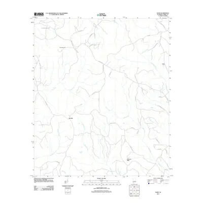 2011 Alma2011 Print · USGSIn the early twenty-first century, this part of Clarke County remained a network of rural settlements and winding creeks. Genealogists and local historians can trace family-named landmarks and small communities like Rockville, Choctaw Bluff, and Alma.
 - 2011 Map of Morvin, 2011 Print
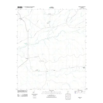 2011 Morvin2011 Print · USGSInland Alabama's rural networks of creeks and small timber-related settlements are documented here during the early twenty-first century. Genealogists can trace family sites at the Tallahatta Cemetery for Blacks or locate the Morvin Post Office and Tallahatta Springs.
 - 2011 Map of Chrysler, 2011 Print
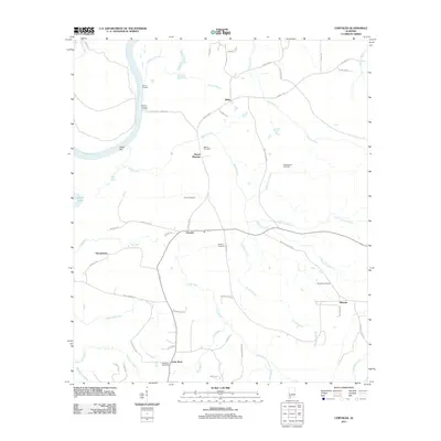 2011 Chrysler2011 Print · USGSCoastal Alabama river country comes into focus in this modern survey of the Baldwin County interior. Genealogists and local historians can locate several family burial grounds, including Shomo Cemetery, and the civic heart of Little River Post Office.
 - 2011 Map of Jackson, 2011 Print
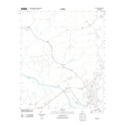 2011 Jackson2011 Print · USGSJackson and the riverfront communities of Clarke County are documented here during a period of sustained industrial and rural activity. Researchers can trace the legacy of local families through Upper Salt Works, Dubose Landing, and Stave Creek Cemetery.
 - 2011 Map of Fulton East, 2011 Print
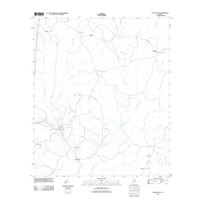 2011 Fulton East2011 Print · USGSClarke County's rural landscape is captured here in the early twenty-first century, centered on the community of Fulton. Researchers can trace local lineage through several burial grounds including Tate Cemetery, Midway Cemetery, and Salem Cemetery.
 - 2011 Map of Tensaw, 2011 Print
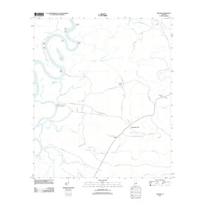 2011 Tensaw2011 Print · USGSThe river landings and rural crossroads of Baldwin County are preserved here as they appeared in the early 2010s. Genealogists and researchers can locate family sites like the Tensaw Memorial Cemetery and landings such as Harry Davis Landing.
 - 2011 Map of Flynns Lake, 2011 Print
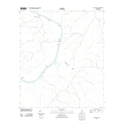 2011 Flynns Lake2011 Print · USGSThis Alabama River corridor in Clarke County was a hub of river-crossing activity and early oil exploration during the early twenty-first century. Genealogists and historians can trace old family sites and industry at Linder Cemetery, Marshall Ferry Landing, and the Barlow Bend Oil Field.
 - 2011 Map of Whatley, 2011 Print
 2011 Whatley2011 Print · USGSClarke County at the start of the 2010s reveals a landscape of quiet rural settlements and ancestral burial grounds. Genealogists can trace family names through numerous sites like Salem Cemetery, Indian Ridge Cemetery, and the historic crossroads at Whatley.
 - 2011 Map of Gainestown, 2011 Print
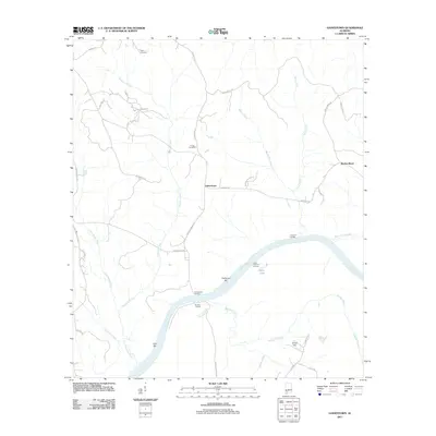 2011 Gainestown2011 Print · USGSClarke County's riverfront life is captured here in the early twenty-first century, centered on the bend of the Alabama River. Genealogists and historians can locate family-named sites like Franks Cemetery and trace old river access points at Gainestown Landing and Eureka Landing.
 - 2011 Map of Chance, 2011 Print
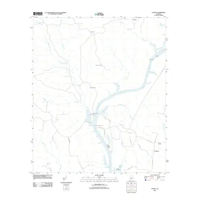 2011 Chance2011 Print · USGSNear the Alabama River at the turn of the 21st century, this area remains defined by its historic landings and rural homesteads. Genealogists can trace family roots at Fellowship Cemetery or explore the old riverfront at Finchburg Landing and Marshall Upper Landing.
 - 2011 Map of Bashi, 2011 Print
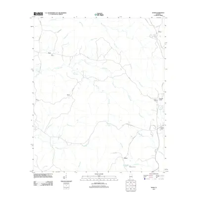 2011 Bashi2011 Print · USGSClarke County's rural landscape is documented here during the early 2000s, showing a network of creeks and small settlements. Researchers can trace local heritage through landmarks like Choctaw Corner, Bashi Cemetery, and the waters of Tallahatta Creek.
 - 2011 Map of Bilbo Island, 2011 Print
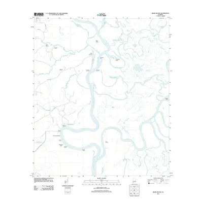 2011 Bilbo Island2011 Print · USGSThe confluence of the Tombigbee and Alabama rivers comes alive in this study of Mobile County's river delta at the start of the 2010s. Researchers can locate remote river outposts and local landmarks like Big John Cemetery, Nanahubba Bluff, and Bates Landing Fish Camp.
 - 2011 Map of Thomasville, 2011 Print
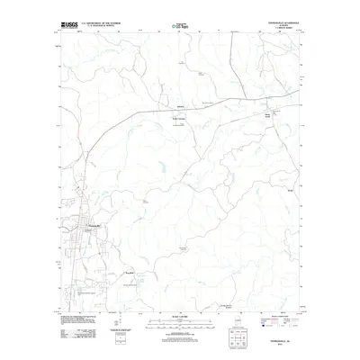 2011 Thomasville2011 Print · USGSThomasville and its surrounding Clarke County communities are captured here in the early twenty-first century. Genealogists and local historians can trace family locations through numerous sites like Sunny South, Airmount Cemetery, and the Double Natural Bridges.
 - 2011 Map of McEntyre, 2011 Print
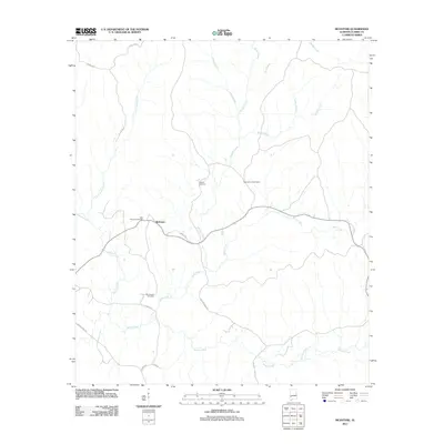 2011 McEntyre2011 Print · USGSClarke County's rural interior is documented in this early twenty-first-century survey centered on McEntyre. Researchers can trace local lineages at Huggins Cemetery and New Prospect Cemetery or locate the site of the Sand Hill Lookout Tower.
 - 2011 Map of Winn, 2011 Print
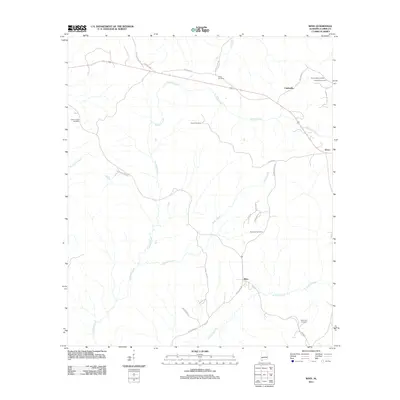 2011 Winn2011 Print · USGSClarke County in the early twenty-first century remains a landscape of quiet creek valleys and deeply rooted family histories. Genealogists can trace local heritage through numerous sites like Bumpers Cemetery, Clarksville, and the Old Union Cemetery.
 - 2011 Map of Fulton West, 2011 Print
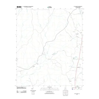 2011 Fulton West2011 Print · USGSClarke County's rural timber and creek lands are captured here just after the turn of the millennium. Researchers can trace family history through Smiths Cemetery and Kelley Cemetery or locate old community centers like Chilton and Springfield.
 - 2011 Map of Grove Hill, 2011 Print
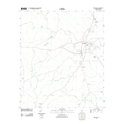 2011 Grove Hill2011 Print · USGSGrove Hill and the surrounding Clarke County countryside are captured here in the early twenty-first century. Researchers can trace local lineage through numerous burial sites like Wilson Chapel Cemetery and Hollingsworth Cemetery or locate the old Grove Hill Lookout Tower.
 - 2011 Map of Coffeeville, 2011 Print
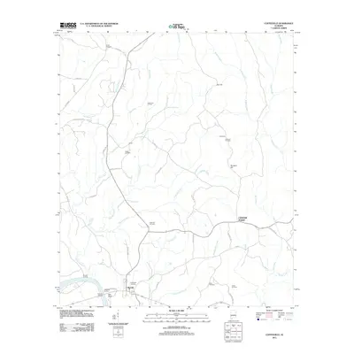 2011 Coffeeville2011 Print · USGSCoffeeville and the winding Tombigbee River are captured here in the early twenty-first century, showing a landscape defined by timber, oil, and deep-rooted family history. Genealogists and researchers can trace family lines at Webb Cemetery and Kiels Cemetery or locate old river points like Coffeeville Landing.
 - 2011 Map of Ararat, 2011 Print
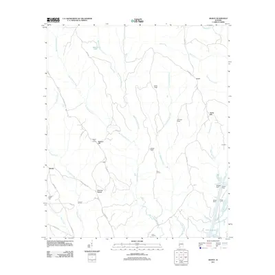 2011 Ararat2011 Print · USGSThe Choctaw County interior near the Tombigbee River is captured here in the early twenty-first century, showing a mix of rural settlements and oil production. Genealogists and local historians can trace family sites like Pleasant Hill Cemetery and Wilson Cemetery or explore river landmarks such as Scruggs Landing and Morgan Bluff.
 - 2011 Map of Saint Stephens, 2011 Print
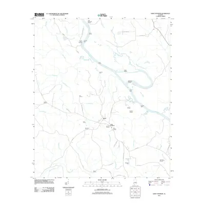 2011 Saint Stephens2011 Print · USGSThe Tombigbee River corridor near the historic settlement of Saint Stephens is documented here in the early twenty-first century. Genealogists and local historians can trace numerous burial sites including Old Saint Stephens Cemetery and Mount Nebo Cemetery, while river charts reveal Little McGrews Shoals and Peavys Bar.
 - 2011 Map of Coffeeville Lock And Dam, 2011 Print
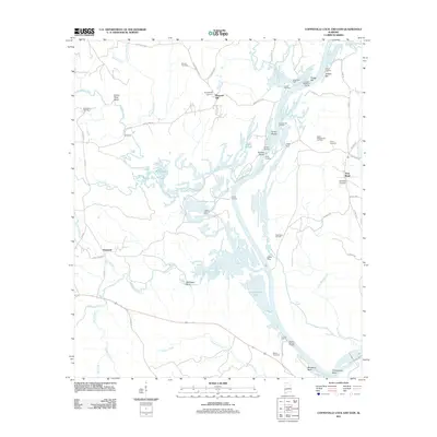 2011 Coffeeville Lock And Dam2011 Print · USGSChoctaw County’s river-driven economy and oil fields are captured here in the early twenty-first century as the river remains central to local life. Genealogists and historians can trace family locations near Womack Hill Cemetery, McGregor Bluff, or the landings at Bladon Springs Landing.
 - 2011 Map of Ginhouse Island, 2011 Print
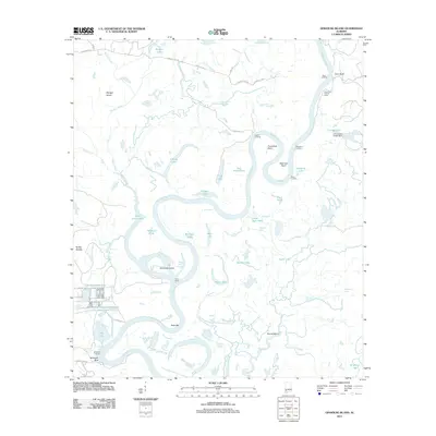 2011 Ginhouse Island2011 Print · USGSThe Tombigbee River meanders through the Alabama wetlands in this recent survey, showcasing a complex network of oxbow lakes and secondary guts. Researchers can trace riverfront access at Oven Landing, explore Ginhouse Island, or locate the D R Dunlap Estate Dam.
 - 2011 Map of Carlton, 2011 Print
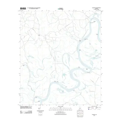 2011 Carlton2011 Print · USGSThe Alabama River corridor near Carlton was a world of river landings and backwater sloughs at the start of the twenty-first century. Genealogists and local historians can trace family-named sites like Dallas Landing, Earle Landing, and H G Davis Lodge.
 - 2011 Map of Claiborne, 2011 Print
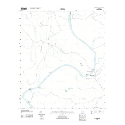 2011 Claiborne2011 Print · USGSThe Alabama River corridor near Gosport and Claiborne is detailed in this 2011 study. Local historians can trace family ties at the Mothershed and McConnico Cemetery or explore river landmarks like Claiborne Bluff and the Claiborne State Dock.
 - 2011 Map of Prestwick, 2011 Print
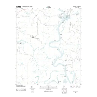 2011 Prestwick2011 Print · USGSClarke County's riverfront landscape is frozen in time along the Tombigbee River in the early twenty-first century. Genealogists and historians can locate family-named sites like Brown Cemetery, Harrells Quarters, and the crossing at German Ford.
Showing maps 1-25 of 90
Top cities of Clarke County
- Jackson historical maps
- Thomasville historical maps
- Grove Hill historical maps
- Coffeeville historical maps
- Fulton historical maps
Frequently asked questions
- What are the different types of historical maps available for Clarke County?
- What is the oldest map of Clarke County?
- Where can I purchase historical maps of Clarke County for my home or office?
- Where can I download high-res historical maps of Clarke County?
- Are there historical topographic maps available for Clarke County?
- Is there historical aerial imagery available for Clarke County?
- Where are historical maps of Clarke County sourced from?