2020s Maps of Covington County, Alabama
Explore 58 historic maps of Covington County from the 2020s. These maps offer a rare glimpse into what life looked like during the 2020s — showing old roads, neighborhoods, homes, and landmarks that have changed or disappeared over time.
Whether you're researching your family's past, planning a metal detecting trip, or studying how Covington County's landscape evolved across the 2020s, these high-resolution maps are a powerful tool for exploring the history of this region.
- Focus on a specific era: All maps on this page are from the 2020s, giving you a focused view of this time period.
- See what’s changed: Compare century-old streets, trails, and buildings to today's modern landscape using overlays and satellite layers.
- Research with precision: Use these maps for genealogy, historical research, land use analysis, or educational projects.
- View, download, or print: Maps are fully viewable online in high resolution, and can be downloaded or printed for your own records.
Start exploring Covington County's history through authentic maps from the 2020s. This is your window into the past.
Covington County, AL maps
(58)- 2020 Map of Danleys Crossroads, 2020 Print
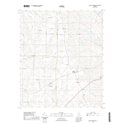 2020 Danleys Crossroads2020 Print · USGSCoffee County and the surrounding tri-county area are shown in modern detail during the early 2020s. Researchers can locate several community landmarks and family cemeteries, such as New Ebenezer Cem, Pine Level, and the eponymous Danleys Crossroads.
 - 2020 Map of Florala, 2020 Print
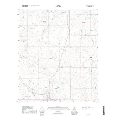 2020 Florala2020 Print · USGSCovington County at the Florida line is documented here in the early twenty-first century, showing the established layouts of Florala and Lockhart. Genealogists and historians can trace local landmarks like Lockhart Cem or natural features such as Lake Jackson and Moccasin Br.
 - 2020 Map of Dozier, 2020 Print
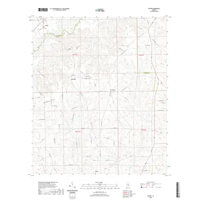 2020 Dozier2020 Print · USGSCrenshaw and Covington counties are captured here in the contemporary era, showing the rural crossroads and river systems of southern Alabama. Researchers can trace family history through several local burial grounds like Pilgrims Rest Cem and settlements such as Rose Hill and Eoda.
 - 2020 Map of Brantley, 2020 Print
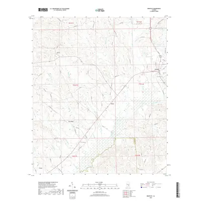 2020 Brantley2020 Print · USGSCrenshaw County at the start of the 2020s shows a landscape defined by the Conecuh River and the crossroads of Brantley. Family researchers can trace local roots through several burial sites like Camerons Chapel Cem and rural settlements such as Theba and Dozier.
 - 2020 Map of River Falls, 2020 Print
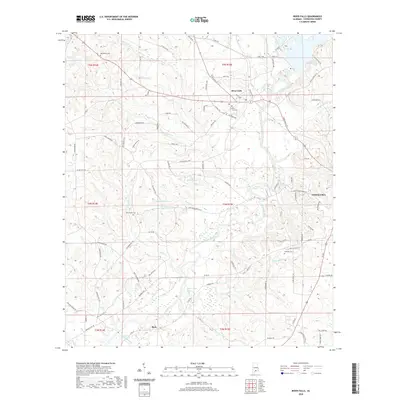 2020 River Falls2020 Print · USGSCovington County's river valleys are captured here as they appeared in 2020, centered on the Conecuh River and the community of River Falls. Researchers can trace local heritage through several burial grounds like Bethlehem Cem and family-named landmarks such as Posey Pond.
 - 2020 Map of Leon, 2020 Print
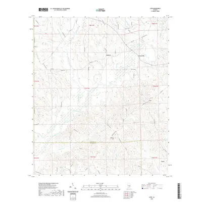 2020 Leon2020 Print · USGSCrenshaw County is documented here in the modern era, showing the rural communities of the South Alabama panhandle. Researchers can locate family landmarks like Leon Cem and Friendship Cem or trace the drainage of Patsaliga Creek and Mayberry Gully.
 - 2020 Map of Kinston, 2020 Print
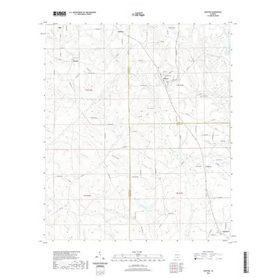 2020 Kinston2020 Print · USGSSoutheast Alabama’s rural borderlands are revealed in this detailed look at the area around the Covington, Coffee, and Geneva county lines. Researchers can find old family cemeteries like Adams Cem and quiet settlements such as Beulah and Earlytown along the winding Pea River.
 - 2020 Map of Gantt, 2020 Print
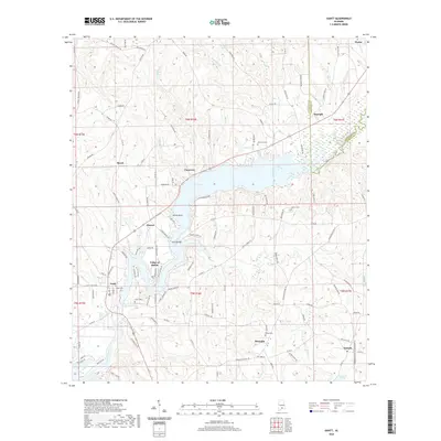 2020 Gantt2020 Print · USGSCovington and Crenshaw counties are shown here as they appeared in 2020, centered on the expansion of Gantt Lake. Researchers can trace old family sites and rural centers like Searight, Straughn, and the Able Cem along the Conecuh River.
 - 2020 Map of Loango, 2020 Print
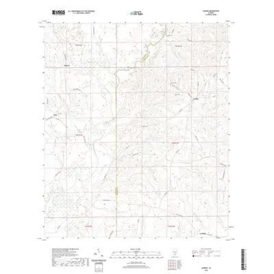 2020 Loango2020 Print · USGSSouthern Alabama's rural timber and creek lands are captured here at the turn of the decade. Genealogists and local historians can trace family roots near Loango and Melrose, or locate historical sites like Mitchell Cem and Garwin Cem along the Sepulga River.
 - 2020 Map of McKenzie, 2020 Print
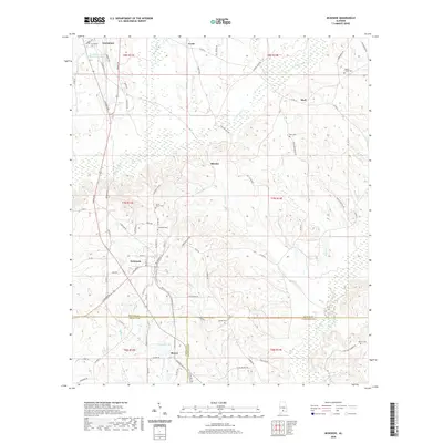 2020 McKenzie2020 Print · USGSButler County and its southern neighbors appear here in the modern era, showing a landscape of timbered hills and rural crossroads. Researchers can locate numerous family burial grounds including South Butler Cem and Elizabeth Cem near McKenzie.
 - 2020 Map of Industry, 2020 Print
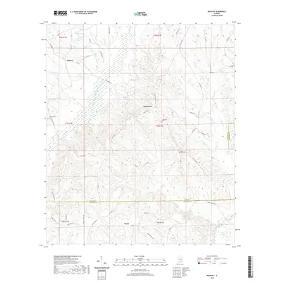 2020 Industry2020 Print · USGSThe rural borders of Butler and Covington Counties are captured here in the contemporary era, showcasing an enduring landscape of timber and agriculture. Genealogists can trace family landmarks and burial sites like Macedonia Cem, Oaky Streak, and Consolation Cem.
 - 2020 Map of Brooks, 2020 Print
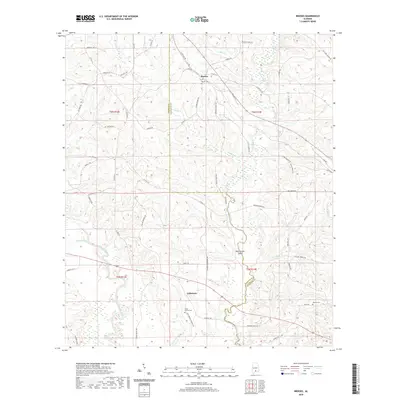 2020 Brooks2020 Print · USGSThe borderlands of Conecuh and Covington counties are captured here in the early twenty-first century as a network of creek-side settlements. Researchers can trace local lineage through Brooks Cem and Mancil Cem while exploring the riverine geography of the Sepulga River and Bold Sluice Shoal.
 - 2020 Map of Opp East, 2020 Print
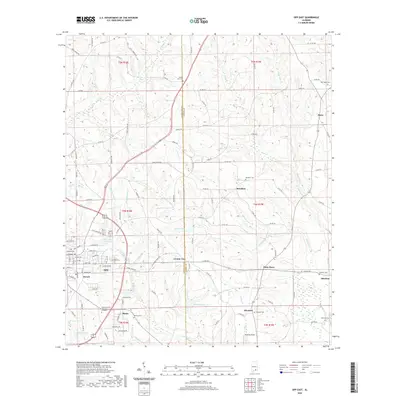 2020 Opp East2020 Print · USGSCoastal plain settlements along the Covington and Coffee county line appear in high detail at the turn of the decade. Genealogists and local historians can trace family-named sites and rural landmarks like Old Town Cem, Perry Store, and the community of Brooklyn.
 - 2020 Map of Hacoda, 2020 Print
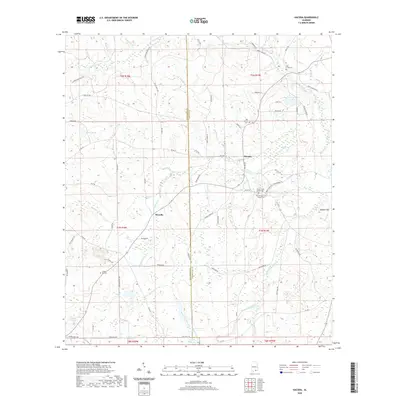 2020 Hacoda2020 Print · USGSThe borderlands of Covington and Geneva County are captured here in 2020, centered on the communities of Hacoda and Howells. Researchers can trace local family lineages through sites like Chapel Hill Cem and Old Sardis Cem or locate the historic Finks Millpond.
 - 2020 Map of Red Level, 2020 Print
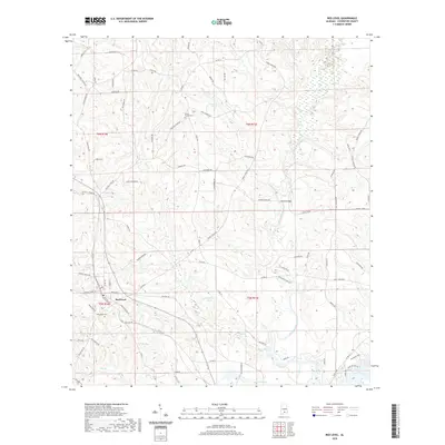 2020 Red Level2020 Print · USGSCovington County settlement and drainage patterns are on full display in this modern survey of the Red Level area. Researchers can trace family history through sites like Fairmount Cem and navigate the riverine geography of the Conecuh River and Patsaliga Creek.
 - 2020 Map of Opp West, 2020 Print
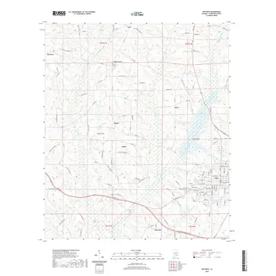 2020 Opp West2020 Print · USGSCovington County's rural western edge comes alive in this survey, showing the landscape as it appeared in the early twenty-first century. Genealogists and researchers can trace community roots through Harmony, Babbie, and quiet burial grounds like Bethel Cem.
 - 2020 Map of Andalusia, 2020 Print
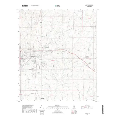 2020 Andalusia2020 Print · USGSCovington County's seat and surrounding timberlands are captured here in the contemporary era. Genealogists can trace family names across several sites like Magnolia Cem, First Baptist Church Cem, and the historic Covington County Courthouse.
 - 2021 Map of Paxton, 2021 Print
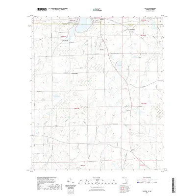 2021 Paxton2021 Print · USGSThe Alabama-Florida border comes alive in this contemporary survey, centering on the shared waters of Lake Jackson and the surrounding woods. Local historians can trace established settlements like Florala and Paxton, or locate ancestral resting places at Greenwood Cem and Miller Cem.
 - 2021 Map of Gaskin, 2021 Print
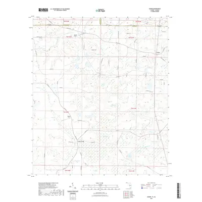 2021 Gaskin2021 Print · USGSThe Florida-Alabama state line and the rural community of Gaskin are documented here in the early twenty-first century. Genealogists and local historians can trace family-named sites and water bodies like E H Myers Pond, Danley Hill, and the geographic Natural Bridge.
 - 2021 Map of Laurel Hill, 2021 Print
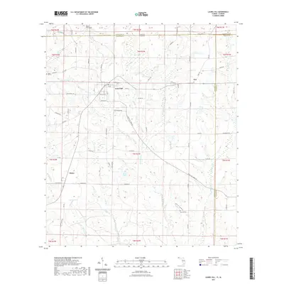 2021 Laurel Hill2021 Print · USGSLaurel Hill and the rural borderlands of Okaloosa County are documented here in the early 2020s. Researchers can trace local landmarks like Mount Zion Cem, the waters of Tyner Bay, and the residential streets of Laurel Hill.
 - 2021 Map of Watkins Bridge, 2021 Print
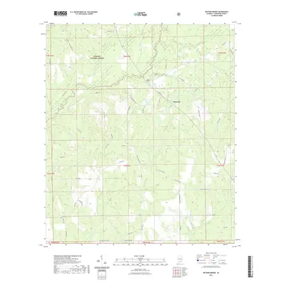 2021 Watkins Bridge2021 Print · USGSCovington County's timberlands and river valleys are captured here in the early twenty-first century. Researchers can trace rural lineages through Shiloh Cem and North Creek Cem or locate old community hubs like Watkins Bridge and Huckaville.
 - 2021 Map of Wing, 2021 Print
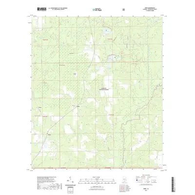 2021 Wing2021 Print · USGSCovington County, Alabama, is captured here in a period defined by the extensive protected lands of the Conecuh National Forest. Researchers can trace local roots at Beda Cem or locate old community centers at Falco, Beda, and Wing.
 - 2021 Map of Carolina, 2021 Print
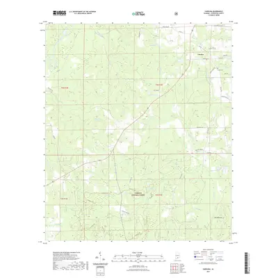 2021 Carolina2021 Print · USGSThe community of Carolina and the northern reaches of the Conecuh National Forest are shown here as they appeared recently. Genealogists and hikers can trace family-named routes like Kelley Farm Rd or explore the winding Conecuh Trail through a landscape of wetlands like Nellie Ponds and Helms Pond.
 - 2021 Map of Bradley, 2021 Print
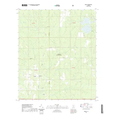 2021 Bradley2021 Print · USGSThe rural crossing at Bradley is shown here in the early twenty-first century, tucked within the Conecuh National Forest. Researchers can trace local burial grounds like Old Bradley Cem or follow the path of the Blackwater River.
 - 2021 Map of Libertyville, 2021 Print
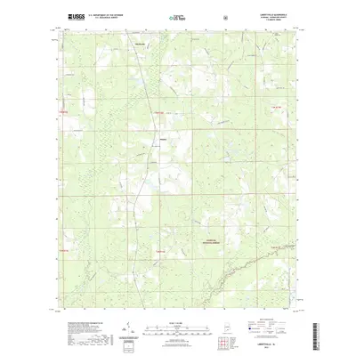 2021 Libertyville2021 Print · USGSCovington County settlement and forestry are documented here in the early twenty-first century, showing the rural crossroads of Libertyville and Stanley. Genealogists can trace family footprints through Five Runs Cem, Judson Cem, and family-named routes like Willie Moore Rd.
Showing maps 1-25 of 58
Top cities of Covington County
- Andalusia historical maps
- Opp historical maps
- Florala historical maps
- Babbie historical maps
- River Falls historical maps
- Lockhart historical maps
See more
Frequently asked questions
- What are the different types of historical maps available for Covington County?
- What is the oldest map of Covington County?
- Where can I purchase historical maps of Covington County for my home or office?
- Where can I download high-res historical maps of Covington County?
- Are there historical topographic maps available for Covington County?
- Is there historical aerial imagery available for Covington County?
- Where are historical maps of Covington County sourced from?