2010s Maps of Covington County, Alabama
Explore 87 historic maps of Covington County from the 2010s. These maps offer a rare glimpse into what life looked like during the 2010s — showing old roads, neighborhoods, homes, and landmarks that have changed or disappeared over time.
Whether you're researching your family's past, planning a metal detecting trip, or studying how Covington County's landscape evolved across the 2010s, these high-resolution maps are a powerful tool for exploring the history of this region.
- Focus on a specific era: All maps on this page are from the 2010s, giving you a focused view of this time period.
- See what’s changed: Compare century-old streets, trails, and buildings to today's modern landscape using overlays and satellite layers.
- Research with precision: Use these maps for genealogy, historical research, land use analysis, or educational projects.
- View, download, or print: Maps are fully viewable online in high resolution, and can be downloaded or printed for your own records.
Start exploring Covington County's history through authentic maps from the 2010s. This is your window into the past.
Covington County, AL maps
(87)- 2011 Map of Blackman, 2011 Print
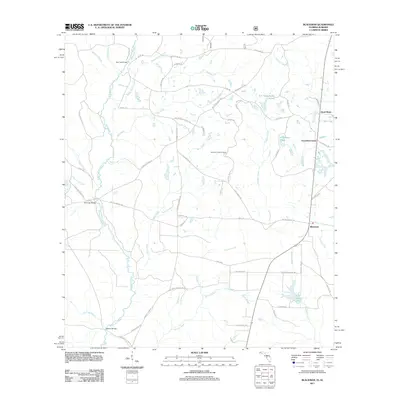 2011 Blackman2011 Print · USGSFlorida's northern panhandle is captured here in the early twenty-first century, showing a landscape shaped by the Blackwater River and rural crossroads. Local historians can trace family-named routes and landmarks like Escambia Farms, Peaden Bridge, and Karick Lake.
 - 2011 Map of Gantt, 2011 Print
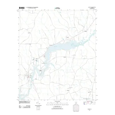 2011 Gantt2011 Print · USGSCovington County’s river landscape is captured here in the early 21st century as the Conecuh River winds through Gantt and Searight. Researchers can locate family landmarks like Shiloh Cemetery, Dunns Bridge, and the Gantt Post Office.
 - 2011 Map of Opp East, 2011 Print
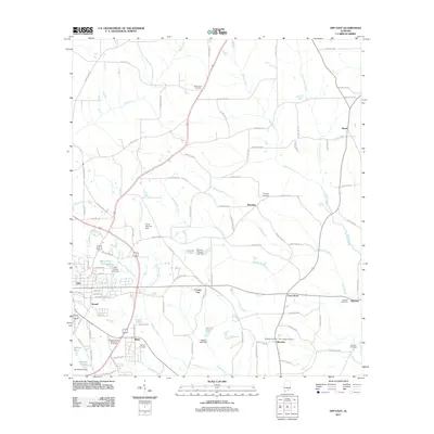 2011 Opp East2011 Print · USGSEastern Covington County is seen here during the early twenty-first century, showing the sprawl of Opp and its surrounding rural communities. Researchers can trace family history through numerous burial sites like Mount Zion Cemetery or locate the community hubs of Brooklyn and Perry Store.
 - 2011 Map of Onycha, 2011 Print
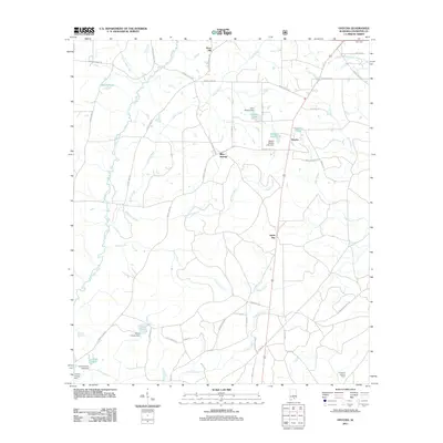 2011 Onycha2011 Print · USGSCovington County at the start of the 2010s reveals a rural landscape defined by the Yellow River and its many tributaries. Genealogists and local researchers can trace family-named landmarks like James Cravey Dam, find the Lawrence Lookout Tower, and locate small communities such as Onycha and Green Bay.
 - 2011 Map of Libertyville, 2011 Print
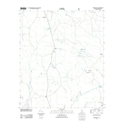 2011 Libertyville2011 Print · USGSCovington County's rural landscape is captured here in the early twenty-first century as agricultural roots and local waterways define the region. Trace family history and land use through specific landmarks like Judson Cemetery, Elliotts Quarters, and the Yellow River Lookout Tower.
 - 2011 Map of Andalusia, 2011 Print
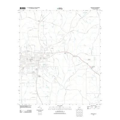 2011 Andalusia2011 Print · USGSAndalusia and the surrounding Covington County landscape are shown in detail during the early 2000s as the regional hub continued its outward growth. Genealogists and local historians can trace family plots across Magnolia Cemetery, Sanford Baptist Church Cemetery, and Marshall Memorial Cemetery.
 - 2011 Map of Leon, 2011 Print
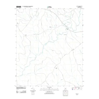 2011 Leon2011 Print · USGSCrenshaw County at the start of the 2010s is a landscape defined by the winding Patsaliga Creek and its many timbered tributaries. Researchers can locate family roots at Leon Cemetery or trace old industrial sites like Merrill Mill.
 - 2011 Map of Danleys Crossroads, 2011 Print
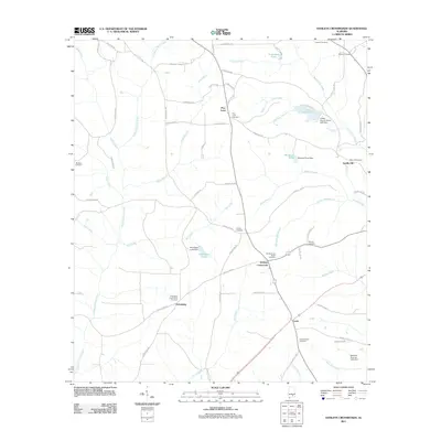 2011 Danleys Crossroads2011 Print · USGSCoffee County at the start of the 2010s reveals a landscape of small agricultural settlements and family-named landmarks. Genealogists can trace rural roots through numerous burial sites like Bethany Cemetery, Danley Cross Roads Cemetery, and Friendship Community Cemetery.
 - 2011 Map of Industry, 2011 Print
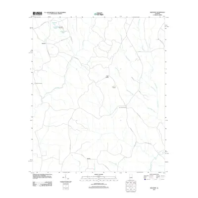 2011 Industry2011 Print · USGSSouthern Alabama’s rural character is preserved in this study of the crossroads communities near the Butler and Covington county line. Genealogists can trace family names and locations through landmarks like Consolation Cemetery, Oaky Streak, and Macedonia Cemetery.
 - 2011 Map of McKenzie, 2011 Print
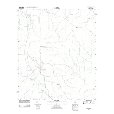 2011 McKenzie2011 Print · USGSThe rural landscape around McKenzie and Shreve is documented here during a period of steady timber and agricultural activity. Genealogists can locate family landmarks like Bushfield Cemetery, the McKenzie Post Office, and the site of the McKenzie Lookout Tower.
 - 2011 Map of Dixie, 2011 Print
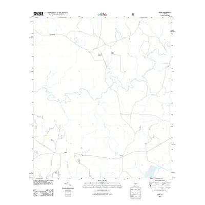 2011 Dixie2011 Print · USGSCovington County's rural landscape is captured here in the early twenty-first century, centered on the Conecuh River and the settlement of Rome. Genealogists and researchers can locate family landmarks like Smith Cemetery and the Dixie Lookout Tower.
 - 2011 Map of Hacoda, 2011 Print
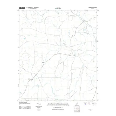 2011 Hacoda2011 Print · USGSCovington County at the start of the 2010s remains a landscape of quiet crossroads and historic family burial grounds. Genealogists and researchers can trace local roots through landmarks like Flat Creek Cemetery, Hacoda, and the Old Sardis Cemetery.
 - 2011 Map of Brantley, 2011 Print
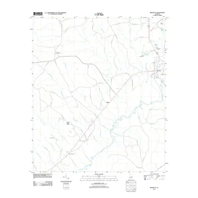 2011 Brantley2011 Print · USGSCrenshaw County is documented here in the early twenty-first century as a landscape shaped by the Conecuh River and its many tributaries. Genealogists and local historians can trace family land and historical markers at Camerons Chapel Cemetery or follow old routes like Old Brantley-Luverne Rd.
 - 2011 Map of Oak Grove, 2011 Print
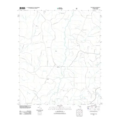 2011 Oak Grove2011 Print · USGSUpper Okaloosa County is captured here in the early twenty-first century, showing a landscape shaped by the Yellow River and rural crossroads. Genealogists can trace family footprints across numerous local burial sites, including Newell, Clary, and Ebenezer.
 - 2011 Map of Opp West, 2011 Print
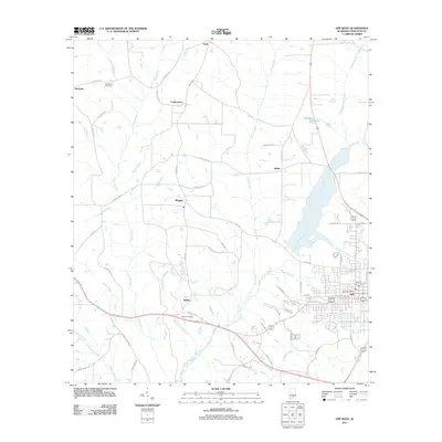 2011 Opp West2011 Print · USGSThe western edge of Opp and its rural hinterlands are captured here during a period of steady growth in Covington County. Genealogists and local researchers can trace the roads connecting Babbie, Harmony, and Opine, or locate family sites like Bethel Cemetery and Henderson Cemetery.
 - 2011 Map of Florala, 2011 Print
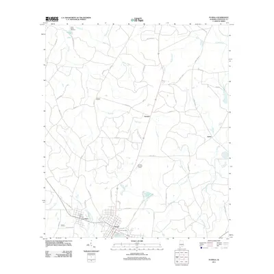 2011 Florala2011 Print · USGSCovington County at the Florida state line centers on the twin towns of Florala and Lockhart during the early twenty-first century. Local historians can trace the community layout near Lake Jackson and locate landmarks like Lockhart Cemetery and Stedman.
 - 2011 Map of Carolina, 2011 Print
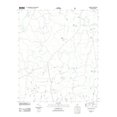 2011 Carolina2011 Print · USGSCovington County’s rural character is well-preserved in this modern survey of the piney woods and creek bottoms. Genealogists can locate family landmarks such as the Carolina Cemetery or trace properties near Harrelson Pond and Dogwood Lake.
 - 2011 Map of Kinston, 2011 Print
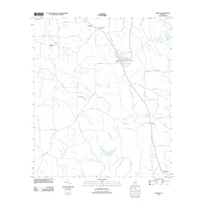 2011 Kinston2011 Print · USGSCovington County community life in the early 2000s is centered around Kinston, where rural routes and family burial grounds dot the landscape. Researchers can trace local heritage at Beulah Cemetery, locate the Kinston Post Office, or follow the waters of Faulk Mill Creek.
 - 2011 Map of Loango, 2011 Print
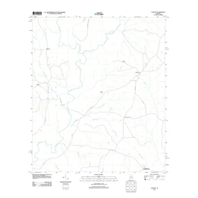 2011 Loango2011 Print · USGSConecuh County at the start of the 2010s reveals a quiet landscape of riverside settlements and rural crossroads. Local historians can trace family ties at Mitchell Cemetery or follow the winding Sepulga River past Melrose and Chapman Quarters.
 - 2011 Map of Brooks, 2011 Print
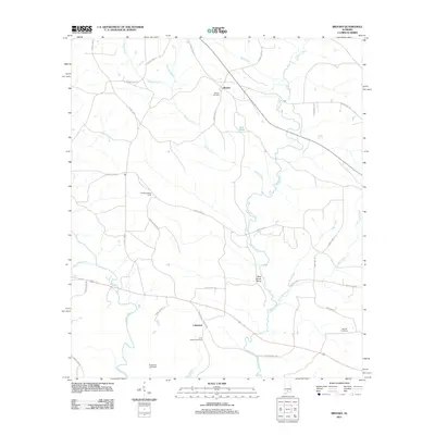 2011 Brooks2011 Print · USGSCovington County's river valleys come into focus in the early 2010s, showing a rural landscape structured by historic family settlements and creek crossings. Researchers can locate Brooks Cemetery, trace the Sepulga River to the Bold Sluice Shoal, and find the Brooks Lookout Tower.
 - 2011 Map of Red Level, 2011 Print
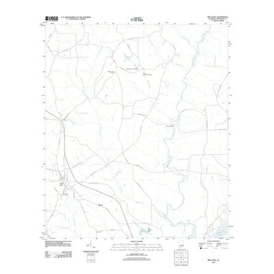 2011 Red Level2011 Print · USGSCovington County settlement patterns and rural waterways are frozen in time here during the early twenty-first century. Genealogists and local historians can trace family locations near Red Level, Fairmount Cemetery, and the old crossing at Barnes Bridge.
 - 2011 Map of Dozier, 2011 Print
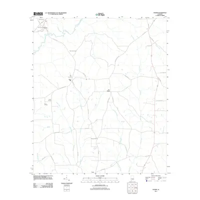 2011 Dozier2011 Print · USGSCrenshaw County at the turn of the decade is defined by its rural crossroads and river systems. Genealogists can trace family roots through several documented burial sites like Pilgrim Rest Cemetery and settlements like Rose Hill and Sassers Crossroads.
 - 2011 Map of Bradley, 2011 Print
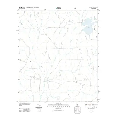 2011 Bradley2011 Print · USGSThe community of Bradley and its surrounding wetlands are captured here at the start of the 2010s. Local researchers can trace family histories at Old Bradley Cemetery and Union Hill Church Cemetery or explore the drainage of Boggy Hollow Creek.
 - 2011 Map of Wing, 2011 Print
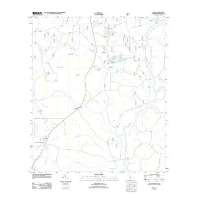 2011 Wing2011 Print · USGSCovington County's southern reaches were well-established rural corridors in the early twenty-first century, centered on small communities like Falco and Wing. Genealogists and local historians can trace family locations near the Beda Cemetery or explore landmarks like the Open Pond Lookout Tower and Givens Bridge.
 - 2011 Map of Watkins Bridge, 2011 Print
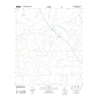 2011 Watkins Bridge2011 Print · USGSCovington County at the start of the 2010s is characterized by its creek-fed bottomlands and small rural communities. Researchers can locate family landmarks like Shiloh Cemetery and North Creek Cemetery or trace the Yellow River as it winds past Huckaville.
Showing maps 1-25 of 87
Top cities of Covington County
- Andalusia historical maps
- Opp historical maps
- Florala historical maps
- Babbie historical maps
- River Falls historical maps
- Lockhart historical maps
See more
Frequently asked questions
- What are the different types of historical maps available for Covington County?
- What is the oldest map of Covington County?
- Where can I purchase historical maps of Covington County for my home or office?
- Where can I download high-res historical maps of Covington County?
- Are there historical topographic maps available for Covington County?
- Is there historical aerial imagery available for Covington County?
- Where are historical maps of Covington County sourced from?