2000s (21st Century) Maps of Dale County, Alabama
Explore 80 historic maps of Dale County from the 2000s (21st Century). These maps offer a rare glimpse into what life looked like during the 2000s — showing old roads, neighborhoods, homes, and landmarks that have changed or disappeared over time.
Whether you're researching your family's past, planning a metal detecting trip, or studying how Dale County's landscape evolved across the 2000s, these high-resolution maps are a powerful tool for exploring the history of this region.
- Focus on a specific era: All maps on this page are from the 2000s, giving you a focused view of this time period.
- See what’s changed: Compare century-old streets, trails, and buildings to today's modern landscape using overlays and satellite layers.
- Research with precision: Use these maps for genealogy, historical research, land use analysis, or educational projects.
- View, download, or print: Maps are fully viewable online in high resolution, and can be downloaded or printed for your own records.
Start exploring Dale County's history through authentic maps from the 2000s. This is your window into the past.
Dale County, AL maps
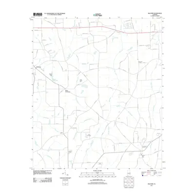
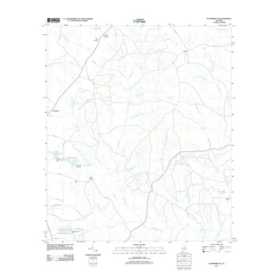
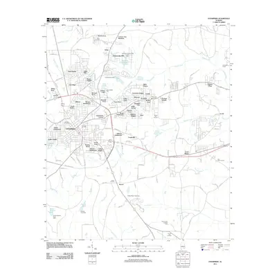
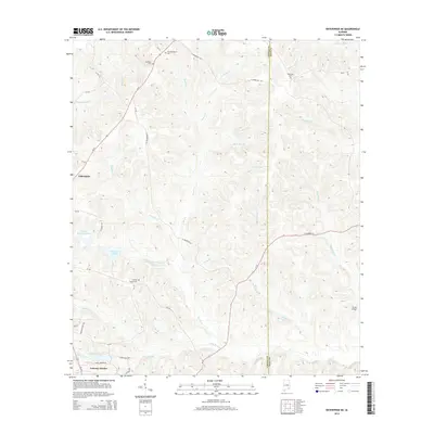
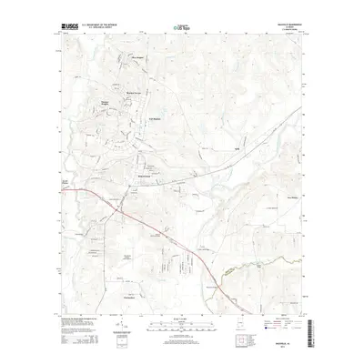
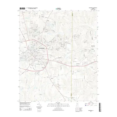
(80)- 2011 Map of Skipperville, 2011 Print
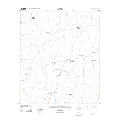 2011 Skipperville2011 Print · USGSCovers Dale County, including Ozark, Phillips Crossroads, and other nearby areas
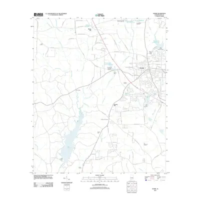
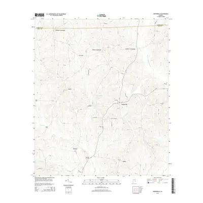
 - 2011 Map of Midland City, 2011 Print
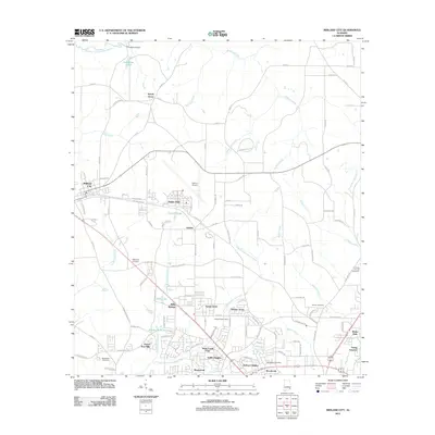 2011 Midland City2011 Print · USGSCovers Dale County, including Dothan, Headland, and other nearby areas
 - 2011 Map of Pinckard, 2011 Print
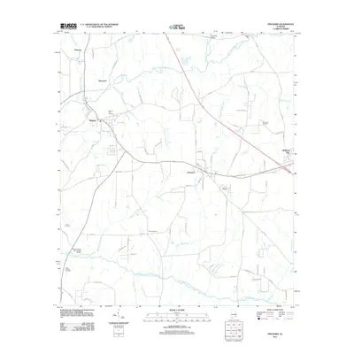 2011 Pinckard2011 Print · USGSCovers Dale County, including Dothan, Midland City, and other nearby areas
 - 2011 Map of Daleville, 2011 Print
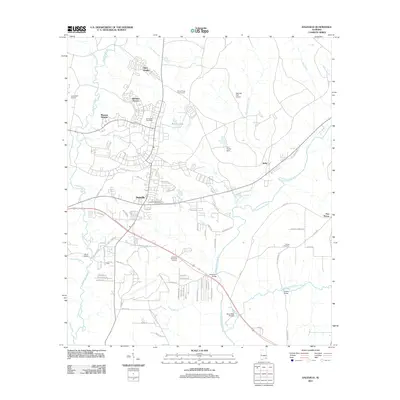 2011 Daleville2011 Print · USGSCovers Dale County, including Daleville, Level Plains, and other nearby areas
 - 2011 Map of Malvern, 2011 Print
 2011 Malvern2011 Print · USGSCovers Dale County, including Dothan, Slocomb, and other nearby areas
 - 2011 Map of Echo, 2011 Print
 2011 Echo2011 Print · USGSCovers Dale County, including Headland, Mount Enon, and other nearby areas
 - 2011 Map of Clopton, 2011 Print
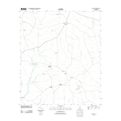 2011 Clopton2011 Print · USGSCovers Dale County, including Barefield Crossroads, Clopton, and other nearby areas
 - 2011 Map of Ewell, 2011 Print
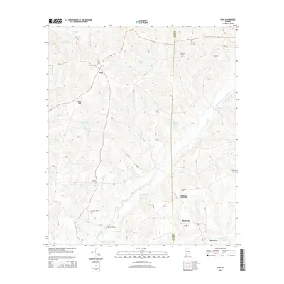
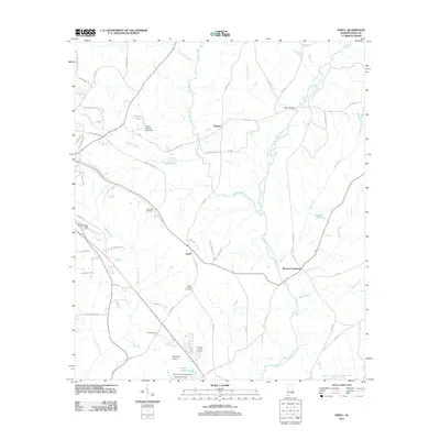 2011 Ewell2011 Print · USGSCovers Dale County, including Ozark, Newton, and other nearby areas
 - 2011 Map of Enterprise NE, 2011 Print
 2011 Enterprise NE2011 Print · USGSCovers Dale County, including Enterprise, Tabernacle, and other nearby areas
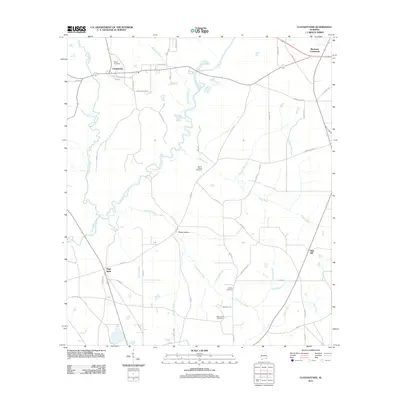
 - 2011 Map of Brundidge SE, 2011 Print
 2011 Brundidge SE2011 Print · USGSCovers Dale County, including Tennille, Roeton, and other nearby areas
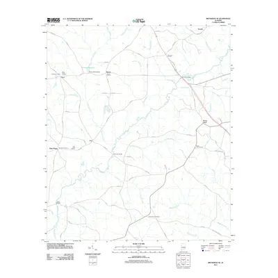
 - 2011 Map of Bellwood, 2011 Print
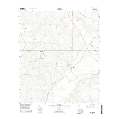
 2011 Bellwood2011 Print · USGSCovers Dale County, including Bellwood, Scranton, and other nearby areas
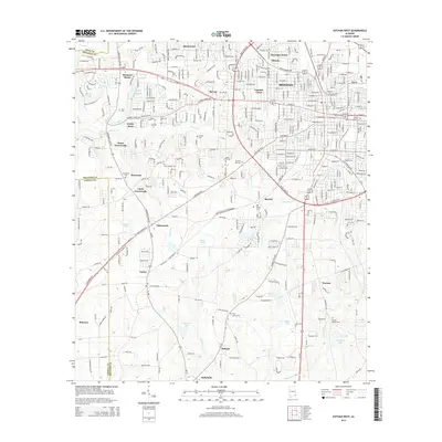
 - 2011 Map of Dothan West, 2011 Print
 2011 Dothan West2011 Print · USGSCovers Dale County, including Dothan, Taylor, and other nearby areas
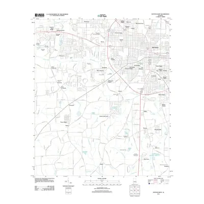
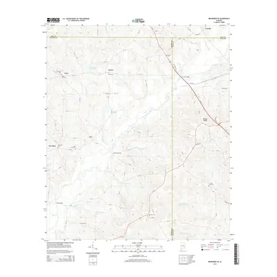
 - 2011 Map of Enterprise, 2011 Print
 2011 Enterprise2011 Print · USGSCovers Dale County, including Enterprise, Daleville, and other nearby areas
 - 2011 Map of Ozark, 2011 Print
 2011 Ozark2011 Print · USGSCovers Dale County, including Ozark, Marley Mill, and other nearby areas
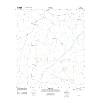
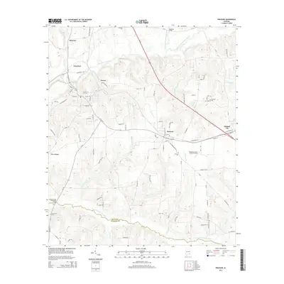
 - 2011 Map of Ariton, 2011 Print
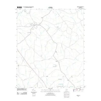 2011 Ariton2011 Print · USGSCovers Dale County, including Ozark, Ariton, and other nearby areas
 - 2011 Map of Clayhatchee, 2011 Print
 2011 Clayhatchee2011 Print · USGSCovers Dale County, including Daleville, Clayhatchee, and other nearby areas
 - 2014 Map of Enterprise NE, 2014 Print
 2014 Enterprise NE2014 Print · USGSCovers Dale County, including Enterprise, Tabernacle, and other nearby areas
 - 2014 Map of Echo, 2014 Print
 2014 Echo2014 Print · USGSCovers Dale County, including Headland, Mount Enon, and other nearby areas
 - 2014 Map of Pinckard, 2014 Print
 2014 Pinckard2014 Print · USGSCovers Dale County, including Dothan, Midland City, and other nearby areas
 - 2014 Map of Dothan West, 2014 Print
 2014 Dothan West2014 Print · USGSCovers Dale County, including Dothan, Taylor, and other nearby areas
 - 2014 Map of Daleville, 2014 Print
 2014 Daleville2014 Print · USGSCovers Dale County, including Daleville, Level Plains, and other nearby areas
 - 2014 Map of Skipperville, 2014 Print
 2014 Skipperville2014 Print · USGSCovers Dale County, including Ozark, Phillips Crossroads, and other nearby areas
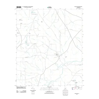
 - 2014 Map of Bellwood, 2014 Print
 2014 Bellwood2014 Print · USGSCovers Dale County, including Bellwood, Scranton, and other nearby areas
 - 2014 Map of Brundidge SE, 2014 Print
 2014 Brundidge SE2014 Print · USGSCovers Dale County, including Tennille, Roeton, and other nearby areas
 - 2014 Map of Enterprise, 2014 Print
 2014 Enterprise2014 Print · USGSCovers Dale County, including Enterprise, Daleville, and other nearby areas
Showing maps 1-25 of 80
Top cities of Dale County
- Ozark historical maps
- Daleville historical maps
- Midland City historical maps
- Level Plains historical maps
- Newton historical maps
- Ariton historical maps
See more
Frequently asked questions
- What are the different types of historical maps available for Dale County?
- What is the oldest map of Dale County?
- Where can I purchase historical maps of Dale County for my home or office?
- Where can I download high-res historical maps of Dale County?
- Are there historical topographic maps available for Dale County?
- Is there historical aerial imagery available for Dale County?
- Where are historical maps of Dale County sourced from?