2000s (21st Century) Maps of Escambia County, Alabama
Explore 157 historic maps of Escambia County from the 2000s (21st Century). These maps offer a rare glimpse into what life looked like during the 2000s — showing old roads, neighborhoods, homes, and landmarks that have changed or disappeared over time.
Whether you're researching your family's past, planning a metal detecting trip, or studying how Escambia County's landscape evolved across the 2000s, these high-resolution maps are a powerful tool for exploring the history of this region.
- Focus on a specific era: All maps on this page are from the 2000s, giving you a focused view of this time period.
- See what’s changed: Compare century-old streets, trails, and buildings to today's modern landscape using overlays and satellite layers.
- Research with precision: Use these maps for genealogy, historical research, land use analysis, or educational projects.
- View, download, or print: Maps are fully viewable online in high resolution, and can be downloaded or printed for your own records.
Start exploring Escambia County's history through authentic maps from the 2000s. This is your window into the past.
Escambia County, AL maps
(157)- 2002 Map of Perdido
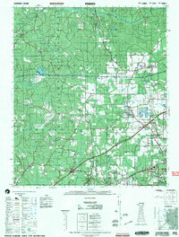 2002 Perdido2002 Print · USGSCoastal Alabama at the turn of the millennium reveals a rural landscape of timberlands and small family settlements. Researchers can trace ancestral roots through several documented burial sites like Mothershed Cemetery and Steadham Cemetery or locate old community hubs like Poarch and Lottie.
 - 2003 Map of Dyas
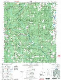 2003 Dyas2003 Print · USGSThe Alabama and Florida borderlands come to life in this early 2000s survey, showing the rural communities and timberlands of Baldwin and Escambia Counties. Genealogists and local historians can trace family roots through landmarks like New Providence Church and Perdido Cemetery or locate the small settlements of Dyas and Phillipsville.
 - 2011 Map of Huxford, 2011 Print
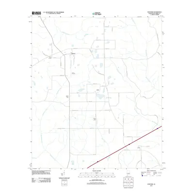 2011 Huxford2011 Print · USGSIn the early twenty-first century, the area around Huxford remained a landscape of timberlands and oil extraction. Genealogists and local researchers can locate the Huxford Cemetery, Miller Cemetery, and the Huxford Lookout Tower amongst the winding tributaries of Big Spring Creek.
 - 2011 Map of Barnett Crossroads, 2011 Print
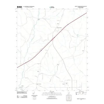 2011 Barnett Crossroads2011 Print · USGSSouthern Alabama rural life is captured here in the early twenty-first century, showing a landscape defined by creeks and crossroads. Researchers can trace family history through Hawkins Cemetery, locate the Maschmeyer Lookout Tower, or explore the environs of Sardine.
 - 2011 Map of Wallace, 2011 Print
 2011 Wallace2011 Print · USGSEscambia County's creek-carved terrain is documented here in the early 2000s, showcasing the intersection of traditional settlements and modern energy extraction. Genealogists can locate several family landmarks including Hanberry Cemetery and Hammac Cemetery near the Wallace Oil Field.
 - 2011 Map of Freemanville, 2011 Print
 2011 Freemanville2011 Print · USGSEscambia County at the start of the 2010s reveals a rural landscape shaped by small communities and oil production. Genealogists and historians can trace family locations near Poarch, the Perdido Oil Field, and several burial sites including Judson Cemetery.
 - 2011 Map of McCullough, 2011 Print
 2011 McCullough2011 Print · USGSThe rural landscape of Escambia County comes into focus as it appeared in the early 2010s, showing a community structured around its post office and family lands. Researchers can trace ancestral locations through the Lindsey Cemetery or follow historic paths like Stage Coach Rd and Prestwood Bridge.
 - 2011 Map of Castleberry, 2011 Print
 2011 Castleberry2011 Print · USGSCastleberry and the surrounding Conecuh County countryside are shown here in the early twenty-first century, anchored by the historic L & N Railroad corridor. Researchers can locate family sites near Buffington Cemetery and Marietta Cemetery or trace the winding course of Murder Creek.
 - 2011 Map of Range, 2011 Print
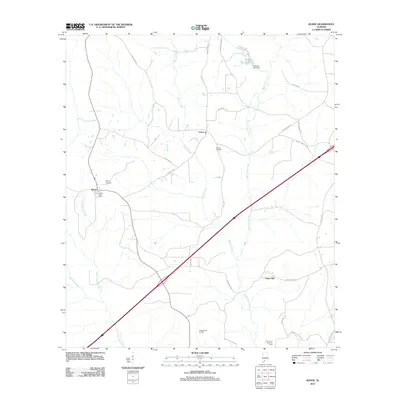 2011 Range2011 Print · USGSConecuh County’s rural landscape is detailed here in the early twenty-first century, featuring the small settlements of Lenox and Range. Local historians can trace the Burnt Corn Creek Oil Field and find family landmarks like Ramah Cemetery and Janes Mill.
 - 2011 Map of Flomaton, 2011 Print
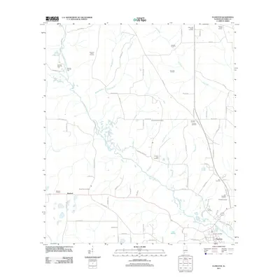 2011 Flomaton2011 Print · USGSEscambia County, Alabama, is documented here in the early 2000s, showing a landscape shaped by petroleum extraction and timber-lined waterways. Genealogists and local historians can locate family landmarks like Sardis Church Cemetery, Wawbeek, and the Flomaton Airport.
 - 2011 Map of Atmore, 2011 Print
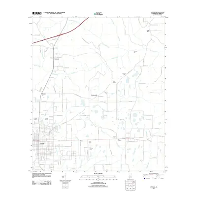 2011 Atmore2011 Print · USGSEscambia County settlement and industry are in clear focus in this 2011 survey of the Atmore area. Researchers can trace local lineage through family-named landmarks like Martinville and numerous burial sites including Lucy Hill Cemetery and Freewill Cemetery.
 - 2011 Map of Frisco City SE, 2011 Print
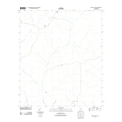 2011 Frisco City SE2011 Print · USGSEscambia County, Alabama, is shown here in the early twenty-first century, characterized by its deep creek valleys and timberlands. Genealogists and local historians can locate the Sampey Community Cemetery, the Barnett Oil Field, and the oddly named settlement of Turn Round.
 - 2011 Map of Brewton South, 2011 Print
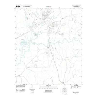 2011 Brewton South2011 Print · USGSThe confluence of the Conecuh River and Murder Creek defines the landscape of southern Alabama in the early twenty-first century. Genealogists and local historians can trace family roots through numerous sites like Fort Crawford Cemetery, Brown Cemetery, and Dixonville.
 - 2011 Map of Pollard, 2011 Print
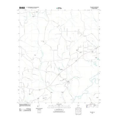 2011 Pollard2011 Print · USGSEscambia County at the turn of the decade reveals a landscape where the oil industry meets the slow-moving Conecuh River. Genealogists and historians can trace family roots through Hillcrest Cemetery or explore small settlements like Osaka, Welka, and Pollard.
 - 2011 Map of Blackman, 2011 Print
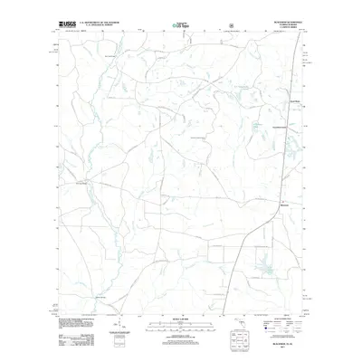 2011 Blackman2011 Print · USGSFlorida's northern panhandle is captured here in the early twenty-first century, showing a landscape shaped by the Blackwater River and rural crossroads. Local historians can trace family-named routes and landmarks like Escambia Farms, Peaden Bridge, and Karick Lake.
 - 2011 Map of Hurricane Lake, 2011 Print
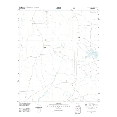 2011 Hurricane Lake2011 Print · USGSThe Blackwater River watershed and Florida's northern timberlands are documented here in the early twenty-first century. Researchers can trace rural landmarks and family-named roads near Santa Maria, Hobbs Cemetery, and Hurricane Lake.
 - 2011 Map of Nymph, 2011 Print
 2011 Nymph2011 Print · USGSConecuh County’s rural character is on display here at the turn of the decade, where small settlements like Nymph and Old Sparta remain tied to the land. Researchers can trace numerous family burial sites and local landmarks including Sparta Hill Cemetery, Jay Villa, and McMillan Dam.
 - 2011 Map of Dixie, 2011 Print
 2011 Dixie2011 Print · USGSCovington County's rural landscape is captured here in the early twenty-first century, centered on the Conecuh River and the settlement of Rome. Genealogists and researchers can locate family landmarks like Smith Cemetery and the Dixie Lookout Tower.
 - 2011 Map of Damascus, 2011 Print
 2011 Damascus2011 Print · USGSThe river bottoms of southern Alabama are captured here in the early twenty-first century, centered on the Damascus and Marietta areas. Genealogists and local historians can trace family-named routes and landmarks like Hoomesville Church, McGowin Cemetery, and Cooks Dam.
 - 2011 Map of Uriah West, 2011 Print
 2011 Uriah West2011 Print · USGSMonroe County, Alabama, shows a landscape of timber and petroleum in the early twenty-first century. Genealogists and historians can trace family locations near Jeddo, Palmers Crossroads, and multiple burial grounds like Semirah Springs Cemetery and Poplar Springs Cemetery.
 - 2011 Map of Roberts, 2011 Print
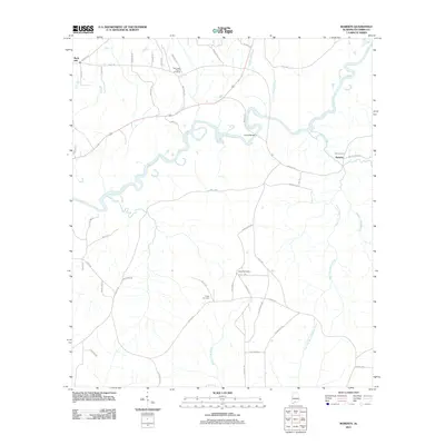 2011 Roberts2011 Print · USGSEscambia County, Alabama, is shown here as a quiet rural landscape at the start of the 21st century. Genealogists and local historians can trace family roots at May Creek Cemetery, Fuqua Cemetery, and the May Creek Church along the winding Conecuh River.
 - 2011 Map of Bradley, 2011 Print
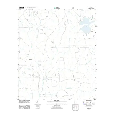 2011 Bradley2011 Print · USGSThe community of Bradley and its surrounding wetlands are captured here at the start of the 2010s. Local researchers can trace family histories at Old Bradley Cemetery and Union Hill Church Cemetery or explore the drainage of Boggy Hollow Creek.
 - 2011 Map of Brewton North, 2011 Print
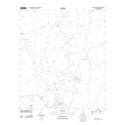 2011 Brewton North2011 Print · USGSNorth of Brewton in the early twenty-first century, the landscape is a patchwork of family-named dams and creek-side settlements. Researchers can trace local genealogy at Calvary Cemetery or locate landmarks like Appleton and Perrys Lake.
 - 2011 Map of Uriah East, 2011 Print
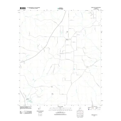 2011 Uriah East2011 Print · USGSSouthern Monroe County is documented here at a time when traditional timberlands met modern energy extraction. Researchers can locate family landmarks like Sowell Old Field Cemetery or trace the early paths of Old Stage Rd near the Vocation Oil Field.
 - 2011 Map of Brooklyn, 2011 Print
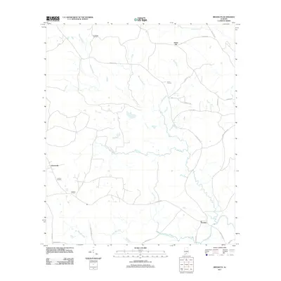 2011 Brooklyn2011 Print · USGSConecuh County’s rural character is well preserved in the early 2010s, centered on the historic crossroads of Brooklyn and Johnsonville. Researchers can trace family history through sites like Johnston Cemetery and the many named waterways like Amos Mill Creek.
Showing maps 1-25 of 157
Top cities of Escambia County
- Atmore historical maps
- Brewton historical maps
- East Brewton historical maps
- Flomaton historical maps
- Huxford historical maps
- Riverview historical maps
See more
Frequently asked questions
- What are the different types of historical maps available for Escambia County?
- What is the oldest map of Escambia County?
- Where can I purchase historical maps of Escambia County for my home or office?
- Where can I download high-res historical maps of Escambia County?
- Are there historical topographic maps available for Escambia County?
- Is there historical aerial imagery available for Escambia County?
- Where are historical maps of Escambia County sourced from?