2020s Maps of Escambia County, Alabama
Explore 62 historic maps of Escambia County from the 2020s. These maps offer a rare glimpse into what life looked like during the 2020s — showing old roads, neighborhoods, homes, and landmarks that have changed or disappeared over time.
Whether you're researching your family's past, planning a metal detecting trip, or studying how Escambia County's landscape evolved across the 2020s, these high-resolution maps are a powerful tool for exploring the history of this region.
- Focus on a specific era: All maps on this page are from the 2020s, giving you a focused view of this time period.
- See what’s changed: Compare century-old streets, trails, and buildings to today's modern landscape using overlays and satellite layers.
- Research with precision: Use these maps for genealogy, historical research, land use analysis, or educational projects.
- View, download, or print: Maps are fully viewable online in high resolution, and can be downloaded or printed for your own records.
Start exploring Escambia County's history through authentic maps from the 2020s. This is your window into the past.
Escambia County, AL maps
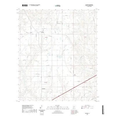
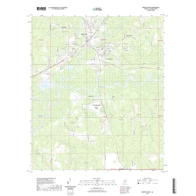
(62)- 2020 Map of Atmore, 2020 Print
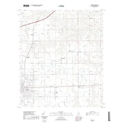 2020 Atmore2020 Print · USGSCovers Escambia County, including Atmore, Little Rock, and other nearby areas
 - 2020 Map of McCullough, 2020 Print
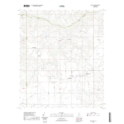 2020 McCullough2020 Print · USGSCovers Escambia County, including McCullough, Jack Springs, and other nearby areas
 - 2020 Map of Castleberry, 2020 Print
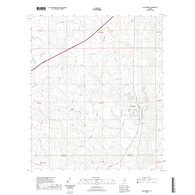 2020 Castleberry2020 Print · USGSCovers Escambia County, including Castleberry, London, and other nearby areas
 - 2020 Map of Frisco City SE, 2020 Print
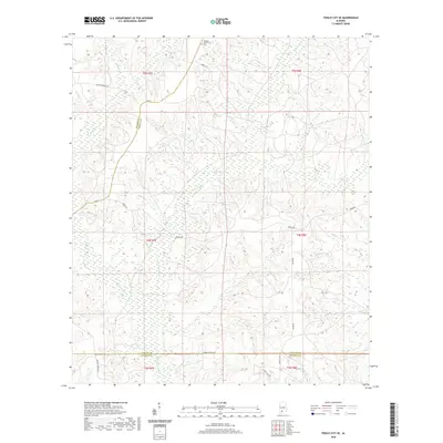 2020 Frisco City SE2020 Print · USGSCovers Escambia County, including Monroe County, Conecuh County, and other nearby areas
 - 2020 Map of Wallace, 2020 Print
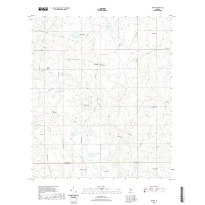
 2020 Wallace2020 Print · USGSCovers Escambia County, including Wallace, United States, and other nearby areas
 - 2020 Map of Uriah East, 2020 Print
 2020 Uriah East2020 Print · USGSCovers Escambia County, including Goodway, Monroe County, and other nearby areas
 - 2020 Map of Nymph, 2020 Print
 2020 Nymph2020 Print · USGSCovers Escambia County, including Nymph, Old Sparta, and other nearby areas
 - 2020 Map of Pollard, 2020 Print
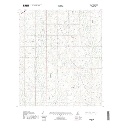
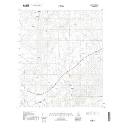 2020 Pollard2020 Print · USGSCovers Escambia County, including Flomaton, Pollard, and other nearby areas
 - 2020 Map of Shipps Creek, 2020 Print
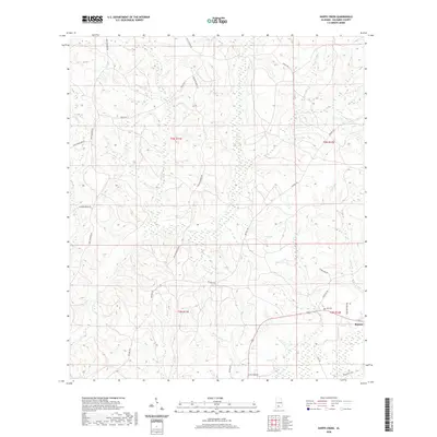 2020 Shipps Creek2020 Print · USGSCovers Escambia County, including United States, Alabama, and other nearby areas
 - 2020 Map of Uriah West, 2020 Print
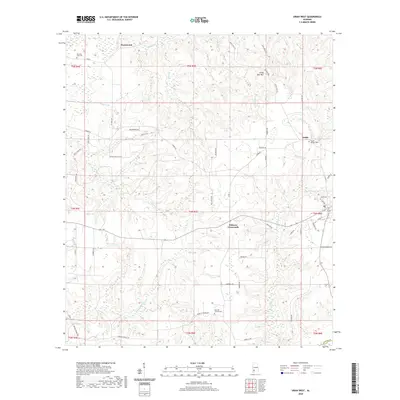 2020 Uriah West2020 Print · USGSCovers Escambia County, including Uriah, Homewood, and other nearby areas
 - 2020 Map of Flomaton, 2020 Print
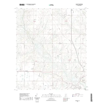 2020 Flomaton2020 Print · USGSCovers Escambia County, including Flomaton, Wawbeek, and other nearby areas
 - 2020 Map of Roberts, 2020 Print
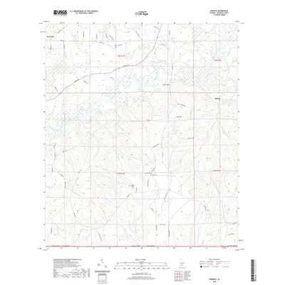 2020 Roberts2020 Print · USGSCovers Escambia County, including Rock Hill, Roberts, and other nearby areas
 - 2020 Map of Huxford, 2020 Print
 2020 Huxford2020 Print · USGSCovers Escambia County, including Atmore, Huxford, and other nearby areas
 - 2020 Map of Brewton North, 2020 Print
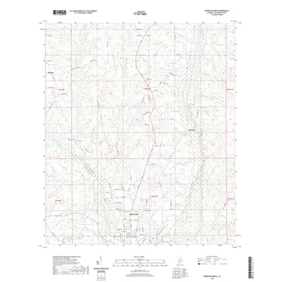 2020 Brewton North2020 Print · USGSCovers Escambia County, including Brewton, Appleton, and other nearby areas
 - 2020 Map of Brooklyn, 2020 Print
 2020 Brooklyn2020 Print · USGSCovers Escambia County, including Johnsonville, Brooklyn, and other nearby areas
 - 2020 Map of Barnett Crossroads, 2020 Print
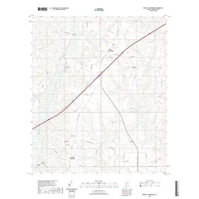 2020 Barnett Crossroads2020 Print · USGSCovers Escambia County, including Pineview, Barnett Crossroads, and other nearby areas
 - 2020 Map of Brewton South, 2020 Print
 2020 Brewton South2020 Print · USGSCovers Escambia County, including Brewton, East Brewton, and other nearby areas
 - 2020 Map of Range, 2020 Print
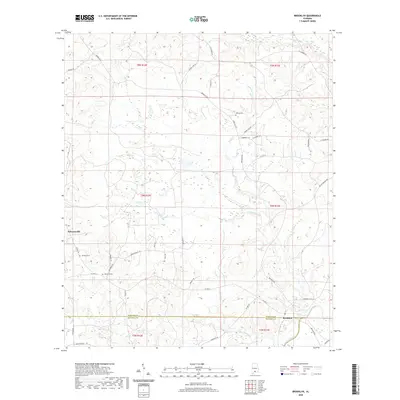
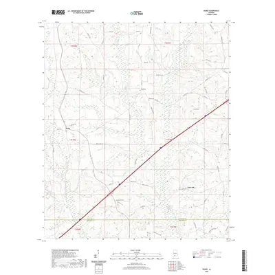 2020 Range2020 Print · USGSCovers Escambia County, including Lenox, Range, and other nearby areas
 - 2020 Map of Freemanville, 2020 Print
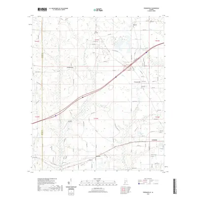 2020 Freemanville2020 Print · USGSCovers Escambia County, including Atmore, Ewing Farms, and other nearby areas
 - 2021 Map of Century, 2021 Print
 2021 Century2021 Print · USGSCovers Escambia County, including Century, Flomaton, and other nearby areas
 - 2021 Map of Fidelis, 2021 Print
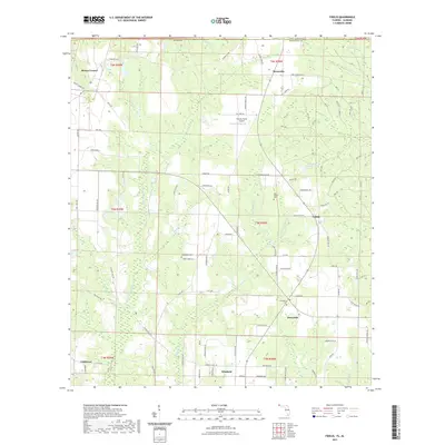 2021 Fidelis2021 Print · USGSCovers Escambia County, including Cobbtown, Mount Carmel, and other nearby areas
 - 2021 Map of McLellan, 2021 Print
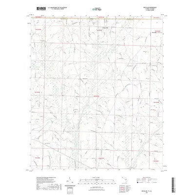 2021 McLellan2021 Print · USGSCovers Escambia County, including McLellan, Sellersville, and other nearby areas
 - 2021 Map of Jay, 2021 Print
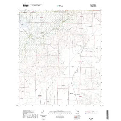 2021 Jay2021 Print · USGSCovers Escambia County, including Century, Flomaton, and other nearby areas
 - 2021 Map of Walnut Hill, 2021 Print
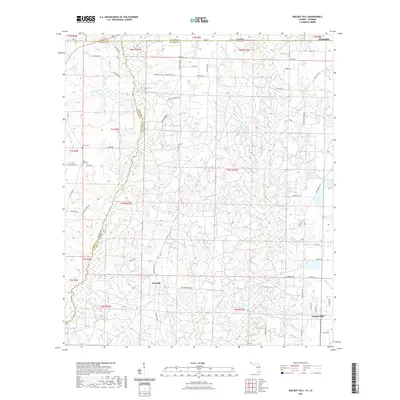 2021 Walnut Hill2021 Print · USGSCovers Escambia County, including Atmore, Walnut Hill, and other nearby areas
 - 2021 Map of Bratt, 2021 Print
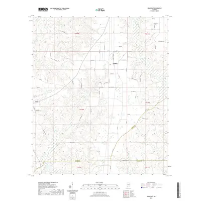
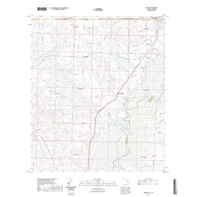
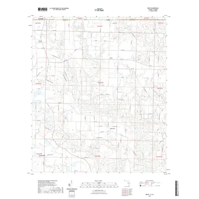 2021 Bratt2021 Print · USGSCovers Escambia County, including Atmore, Bratt, and other nearby areas
Showing maps 1-25 of 62
Top cities of Escambia County
- Atmore historical maps
- Brewton historical maps
- East Brewton historical maps
- Flomaton historical maps
- Huxford historical maps
- Riverview historical maps
See more
Frequently asked questions
- What are the different types of historical maps available for Escambia County?
- What is the oldest map of Escambia County?
- Where can I purchase historical maps of Escambia County for my home or office?
- Where can I download high-res historical maps of Escambia County?
- Are there historical topographic maps available for Escambia County?
- Is there historical aerial imagery available for Escambia County?
- Where are historical maps of Escambia County sourced from?