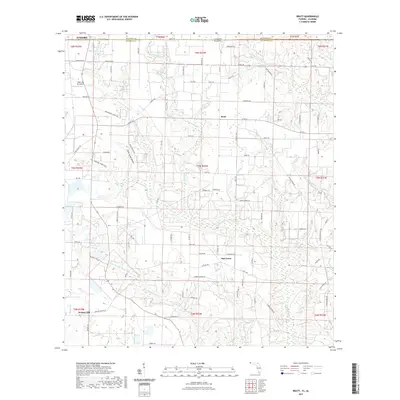
2021 Map of Bratt
USGS Topo · Published 2021About this map
Walnut Hill, Bratt, and Oak Grove anchor this agricultural landscape along the Alabama-Florida state line. The terrain is defined by an intricate network of waterways, including Pine Barren Cr and Little Pine Barren Cr, which flow through the low-lying areas of Sandy Hollow and Little Sandy Hollow. These drainage patterns have historically shaped the road network and settlement locations, with rural routes like Bratt Rd and Hwy 164 connecting the disparate farmsteads and small communities.
Find a feature on this map
92 named features on this map. Tap any name to fly to it.
Don’t see what you’re looking for? This feature index may not catch every label — zoom into the map to look around manually.
Map Details
Editions of this 2021 Bratt Map
This is the sole edition of this map. No revisions or reprints were ever made.
Other maps of this area

1941 · Century
USGS Topo · 1:62,500

1942 · Perdido
USGS Topo · 1:62,500

1942 · Dyas
USGS Topo · 1:62,500

1943 · Century
USGS Topo · 1:62,500

1944 · Dyas
USGS Topo · 1:62,500

1944 · Perdido
USGS Topo · 1:62,500

1953 · Andalusia
USGS Topo · 1:250,000

1957 · Andalusia
USGS Topo · 1:250,000

1957 · Pensacola
USGS Topo · 1:250,000

1959 · Pensacola
USGS Topo · 1:250,000