Old Maps of Rock Hill, Alabama for Metal Detecting
Plan your next treasure hunt with 9 historic maps of Rock Hill. Find old homesites, ghost towns, trails, and gathering spots that may be lost to time — perfect for identifying promising metal detecting locations.
- Locate forgotten sites: Uncover places like long-lost settlements, abandoned rail lines, or gathering spots.
- Plan better hunts: Use map overlays combined with LiDAR or satellite views to narrow in on historically rich areas.
- Made for detectorists: Thousands of hobbyists use these maps to discover relics, coins, and hidden history.
Use these historic maps to boost your research and find new opportunities beneath the surface of Rock Hill.
Rock Hill, AL maps
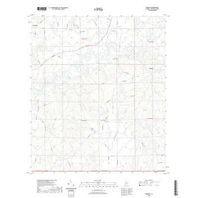
(9)- 1953 Map of Andalusia, 1965 Print
 1953 Andalusia1965 Print · USGSSouth Alabama in the mid-twentieth century remains a land of pine forests and river-fed settlements. You can trace the vital rail corridors of the Louisville & Nashville and locate regional centers such as Andalusia, Brewton, and Monroeville.3 unique versions available
 - 1957 Map of Andalusia
 1957 Andalusia1957 Print · USGSSouthern Alabama in the mid-1950s was a landscape defined by timbered stretches and the rhythmic flow of the Alabama River. Researchers can trace the legacy of the rail era through the Central of Georgia tracks and the storied river bluffs at Choctaw Bluff.
 - 1982 Map of Roberts
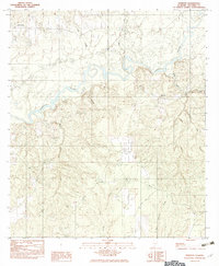 1982 Roberts1982 Print · USGSEscambia County's riverfront and timberlands are captured here in the early eighties as they appeared before modern development. Researchers can locate the settlement of Roberts, the high ground at Rock Hill, and several local Cem sites near the Conecuh River.
 - 1986 Map of Andalusia
 1986 Andalusia1986 Print · USGSCovington County and the Wiregrass region are shown here in the mid-1980s, centered on the growing hubs of Andalusia and Opp. Genealogists and local historians can trace legacy sites like the Old Pioneer Cem, Straughn Sch, and the rail lines of the Louisville and Nashville RR.2 unique versions available
 - 2011 Map of Roberts, 2011 Print
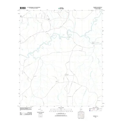 2011 Roberts2011 Print · USGSCovers Rock Hill, including Roberts, Escambia County, and other nearby areas
 - 2014 Map of Roberts, 2014 Print
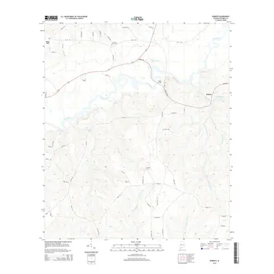 2014 Roberts2014 Print · USGSCovers Rock Hill, including Roberts, Escambia County, and other nearby areas
 - 2018 Map of Roberts, 2018 Print
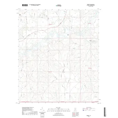 2018 Roberts2018 Print · USGSCovers Rock Hill, including Roberts, Escambia County, and other nearby areas
 - 2020 Map of Roberts, 2020 Print
 2020 Roberts2020 Print · USGSCovers Rock Hill, including Roberts, Escambia County, and other nearby areas
 - 2024 Map of Roberts, 2024 Print
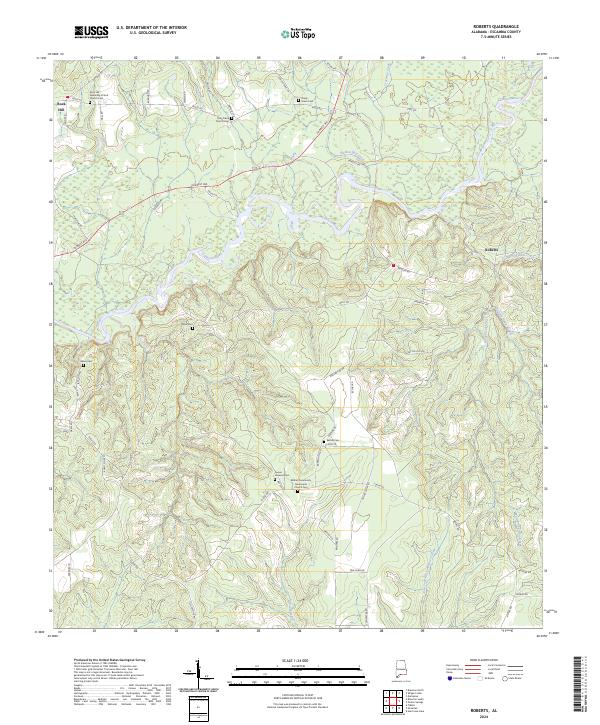 2024 Roberts2024 Print · USGSEscambia County's rural riverbanks and timberlands are captured here in the early twenty-first century. Researchers can trace local heritage through several burial grounds, including Black Cem, Fuqua Hayeard Cem, and Shady Grove Cem.
End of results
Showing maps 1-9 of 9
Top cities near Rock Hill
- Brewton historical maps
- East Brewton historical maps
- Jay historical maps
- Castleberry historical maps
- Riverview historical maps
- Pollard historical maps
Frequently asked questions
- What are the different types of historical maps available for Rock Hill?
- What is the oldest map of Rock Hill?
- Where can I purchase historical maps of Rock Hill for my home or office?
- Where can I download high-res historical maps of Rock Hill?
- Are there historical topographic maps available for Rock Hill?
- Is there historical aerial imagery available for Rock Hill?
- Where are historical maps of Rock Hill sourced from?