Old Maps of Glen Allen, Alabama for Metal Detecting
Plan your next treasure hunt with 28 historic maps of Glen Allen. Find old homesites, ghost towns, trails, and gathering spots that may be lost to time — perfect for identifying promising metal detecting locations.
- Locate forgotten sites: Uncover places like long-lost settlements, abandoned rail lines, or gathering spots.
- Plan better hunts: Use map overlays combined with LiDAR or satellite views to narrow in on historically rich areas.
- Made for detectorists: Thousands of hobbyists use these maps to discover relics, coins, and hidden history.
Use these historic maps to boost your research and find new opportunities beneath the surface of Glen Allen.
Glen Allen, AL maps
(28)- 1953 Map of Birmingham, 1964 Print
 1953 Birmingham1964 Print · USGSCentral Alabama at mid-century shows a landscape defined by industrial expansion and the iron-rich ridges surrounding Birmingham. Researchers can trace the extensive rail networks of the L & N RR or locate historic federal sites like the Anniston Ordnance Depot.4 unique versions available
 - 1956 Map of Birmingham
 1956 Birmingham1956 Print · USGSCentral Alabama in the mid-fifties exhibits a landscape of growing cities and deep-rooted industrial corridors. Genealogists and historians can trace the development of suburban Mountain Brook or locate regional hubs like Sylacauga and Jasper.
 - 1957 Map of Birmingham
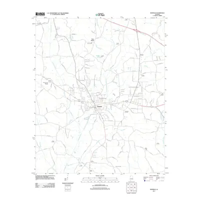
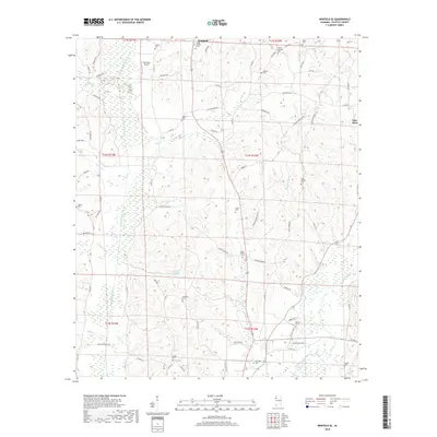
 1957 Birmingham1957 Print · USGSNorth-Central Alabama in the mid-fifties is an industrial powerhouse centered on the steel valleys and sprawling iron ridges. Genealogists and historians can trace the rail-linked growth of Birmingham and Tuscaloosa, or locate rural landmarks like Talladega College and the Anniston Ordnance Depot.
 - 1967 Map of Winfield SE, 1968 Print
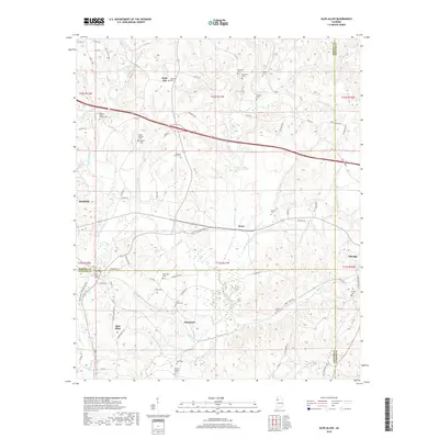
 1967 Winfield SE1968 Print · USGSFayette County in the late sixties remains a landscape of forest and creek-side settlements. Researchers can trace family history through a high density of country landmarks like Housh Chapel Ch, Unity Ch, and the Fowler Cem.
 - 1967 Map of Hubbertville, 1968 Print
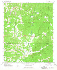
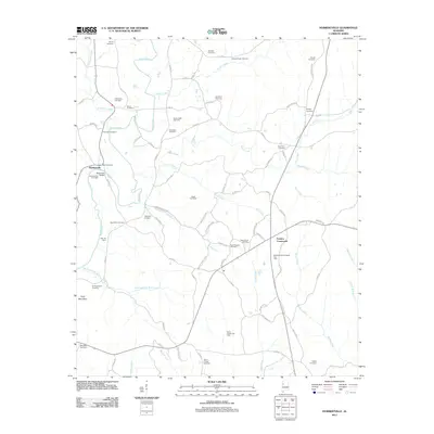
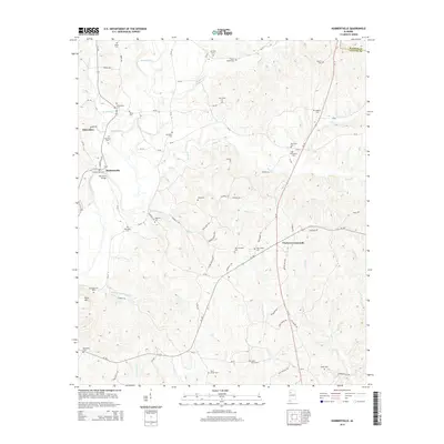
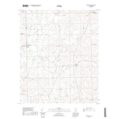
 1967 Hubbertville1968 Print · USGSNorthwest Alabama's rural hill country comes into focus in the late sixties as the Sipsey River winds through Fayette and Walker Counties. Genealogists and local historians can trace family sites like Killingsworth Ch Cem, Tidwell Chapel, and Hubbertville.2 unique versions available
 - 1967 Map of Glen Allen, 1968 Print
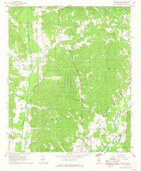
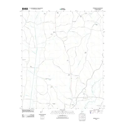
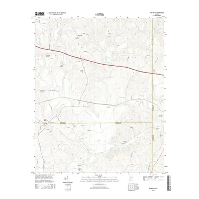
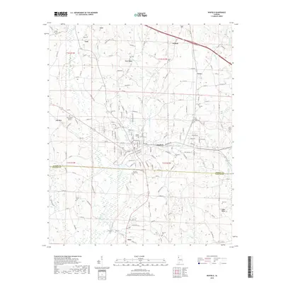
 1967 Glen Allen1968 Print · USGSNorthwest Alabama's coal and rail corridor comes to life in the late 1960s, showing the intersection of heavy industry and rural community life. Genealogists can trace family roots through landmarks like Hallmark Cem, Piney Grove Ch, and the settlement of Rock City.3 unique versions available
 - 1967 Map of Winfield, 1968 Print
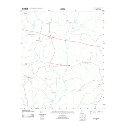
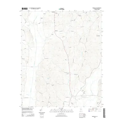
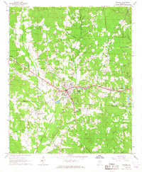 1967 Winfield1968 Print · USGSMarion and Fayette counties are shown here in the late sixties as the town of Winfield expands along the railroad. Local researchers can trace family landmarks like Musgrove Chapel, the Drive-in Theater, and the old mining Airshaft.3 unique versions available
 - 1984 Map of Jasper, 1985 Print
 1984 Jasper1985 Print · USGSIn the mid-1980s, the Walker County coalfields were a complex web of rail lines and river terminals. Researchers can trace the industrial heritage of the Mulberry Fork and locate local landmarks like the Carbon Hill National Fish Hatchery or Saragossa Ch.2 unique versions available
 - 2011 Map of Winfield SE, 2011 Print
 2011 Winfield SE2011 Print · USGSCovers Glen Allen, including Winfield, Stewart, and other nearby areas
 - 2011 Map of Winfield, 2011 Print
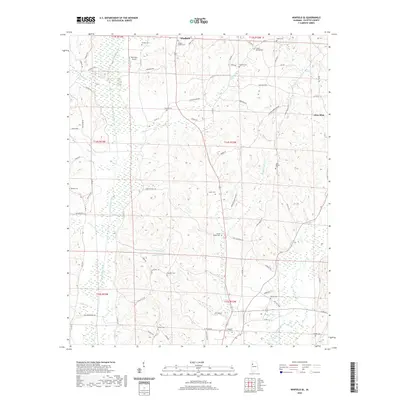
 2011 Winfield2011 Print · USGSCovers Glen Allen, including Winfield, Guin, and other nearby areas
 - 2011 Map of Glen Allen, 2011 Print
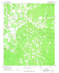
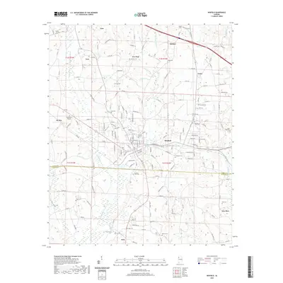
 2011 Glen Allen2011 Print · USGSCovers Glen Allen, including Winfield, Eldridge, and other nearby areas
 - 2011 Map of Hubbertville, 2011 Print
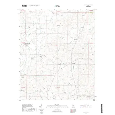
 2011 Hubbertville2011 Print · USGSCovers Glen Allen, including Hubbertville, Fowlers Crossroads, and other nearby areas
 - 2014 Map of Glen Allen, 2014 Print
 2014 Glen Allen2014 Print · USGSCovers Glen Allen, including Winfield, Eldridge, and other nearby areas
 - 2014 Map of Winfield SE, 2014 Print
 2014 Winfield SE2014 Print · USGSCovers Glen Allen, including Winfield, Stewart, and other nearby areas
 - 2014 Map of Winfield, 2014 Print
 2014 Winfield2014 Print · USGSCovers Glen Allen, including Winfield, Guin, and other nearby areas
 - 2014 Map of Hubbertville, 2014 Print
 2014 Hubbertville2014 Print · USGSCovers Glen Allen, including Hubbertville, Fowlers Crossroads, and other nearby areas
 - 2018 Map of Glen Allen, 2018 Print
 2018 Glen Allen2018 Print · USGSCovers Glen Allen, including Winfield, Eldridge, and other nearby areas
 - 2018 Map of Winfield SE, 2018 Print
 2018 Winfield SE2018 Print · USGSCovers Glen Allen, including Winfield, Stewart, and other nearby areas
 - 2018 Map of Hubbertville, 2018 Print
 2018 Hubbertville2018 Print · USGSCovers Glen Allen, including Hubbertville, Fowlers Crossroads, and other nearby areas
 - 2018 Map of Winfield, 2018 Print
 2018 Winfield2018 Print · USGSCovers Glen Allen, including Winfield, Guin, and other nearby areas
 - 2020 Map of Glen Allen, 2020 Print
 2020 Glen Allen2020 Print · USGSCovers Glen Allen, including Winfield, Eldridge, and other nearby areas
 - 2020 Map of Hubbertville, 2020 Print
 2020 Hubbertville2020 Print · USGSCovers Glen Allen, including Hubbertville, Fowlers Crossroads, and other nearby areas
 - 2020 Map of Winfield SE, 2020 Print
 2020 Winfield SE2020 Print · USGSCovers Glen Allen, including Winfield, Stewart, and other nearby areas
 - 2020 Map of Winfield, 2020 Print
 2020 Winfield2020 Print · USGSCovers Glen Allen, including Winfield, Guin, and other nearby areas
 - 2024 Map of Hubbertville, 2024 Print
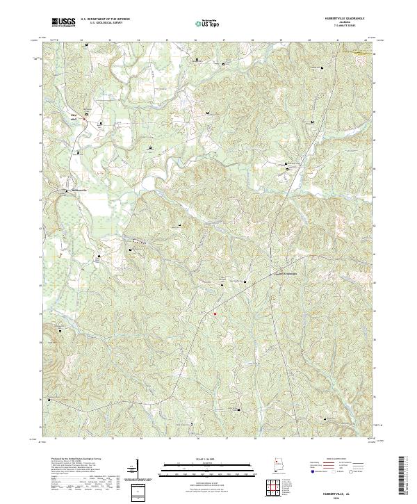 2024 Hubbertville2024 Print · USGSNorthwestern Alabama's rural uplands are shown here in modern detail, centered on the Sipsey River and small hubs like Hubbertville. Genealogists can trace family connections through over a dozen mapped burial sites, including Mayfield Cem and Cedar Grove Cem.
Showing maps 1-25 of 28
Top cities near Glen Allen
- Fayette historical maps
- Hamilton historical maps
- Winfield historical maps
- Guin historical maps
- Carbon Hill historical maps
- Berry historical maps
See more
Top neighborhoods of Glen Allen
Frequently asked questions
- What are the different types of historical maps available for Glen Allen?
- What is the oldest map of Glen Allen?
- Where can I purchase historical maps of Glen Allen for my home or office?
- Where can I download high-res historical maps of Glen Allen?
- Are there historical topographic maps available for Glen Allen?
- Is there historical aerial imagery available for Glen Allen?
- Where are historical maps of Glen Allen sourced from?