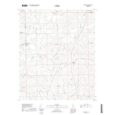
2018 Map of Hubbertville
USGS Topo · Published 2018About this map
Hubbertville and the winding Sipsey River anchor this landscape along the border of Fayette and Walker counties. The terrain is defined by a dense network of tributaries including Studhorse Cr, Beaver Cr, and Hollingsworth Mill Cr, which carve through the hills surrounding Ford Mtn. Settlement patterns follow the high ground and creek valleys, linked by a web of local routes like Old Stagecoach Rd and Pikeville Rd.
Find a feature on this map
95 named features on this map. Tap any name to fly to it.
Don’t see what you’re looking for? This feature index may not catch every label — zoom into the map to look around manually.
Map Details
Editions of this 2018 Hubbertville Map
This is the sole edition of this map. No revisions or reprints were ever made.
Other maps of this area

1953 · Birmingham
USGS Topo · 1:250,000

1956 · Birmingham
USGS Topo · 1:250,000

1957 · Birmingham
USGS Topo · 1:250,000

1967 · Bankston
USGS Topo · 1:24,000

1967 · Winfield SE
USGS Topo · 1:24,000
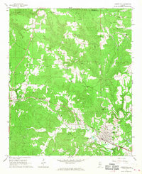
1967 · Carbon Hill
USGS Topo · 1:24,000

1967 · Hubbertville
USGS Topo · 1:24,000
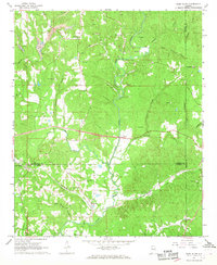
1967 · Glen Allen
USGS Topo · 1:24,000
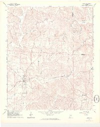
1967 · Berry
USGS Topo · 1:24,000

1967 · Fayette
USGS Topo · 1:24,000