2020s Maps of Russellville, Alabama
Explore 8 historic maps of Russellville from the 2020s. These maps offer a rare glimpse into what life looked like during the 2020s — showing old roads, neighborhoods, homes, and landmarks that have changed or disappeared over time.
Whether you're researching your family's past, planning a metal detecting trip, or studying how Russellville's landscape evolved across the 2020s, these high-resolution maps are a powerful tool for exploring the history of this region.
- Focus on a specific era: All maps on this page are from the 2020s, giving you a focused view of this time period.
- See what’s changed: Compare century-old streets, trails, and buildings to today's modern landscape using overlays and satellite layers.
- Research with precision: Use these maps for genealogy, historical research, land use analysis, or educational projects.
- View, download, or print: Maps are fully viewable online in high resolution, and can be downloaded or printed for your own records.
Start exploring Russellville's history through authentic maps from the 2020s. This is your window into the past.
Russellville, AL maps
(8)- 2020 Map of Isbell, 2020 Print
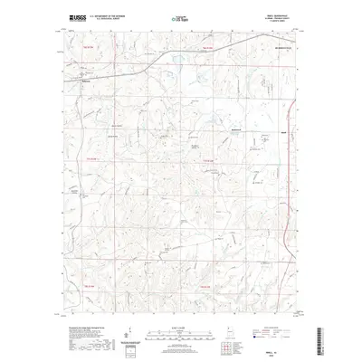 2020 Isbell2020 Print · USGSCovers Russellville, including Belgreen, Isbell, and other nearby areas
 - 2020 Map of Russellville, 2020 Print
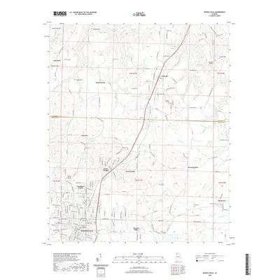 2020 Russellville2020 Print · USGSCovers Russellville, including Littleville, Good Springs, and other nearby areas
 - 2020 Map of Frankfort, 2020 Print
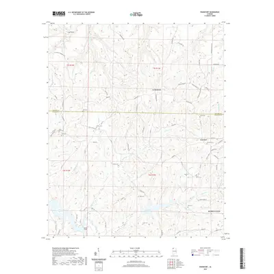 2020 Frankfort2020 Print · USGSCovers Russellville, including Jonesboro, Frankfort, and other nearby areas
 - 2020 Map of Spruce Pine, 2020 Print
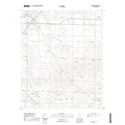 2020 Spruce Pine2020 Print · USGSCovers Russellville, including Spruce Pine, Churntown, and other nearby areas
 - 2024 Map of Spruce Pine, 2024 Print
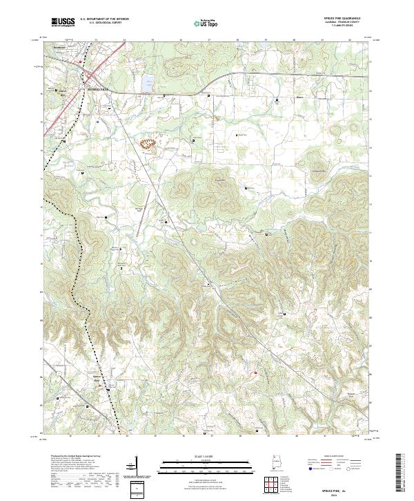 2024 Spruce Pine2024 Print · USGSFranklin County's deep hollows and high ridges are documented here in the early 2020s, showing the enduring rural character of the Alabama foothills. Genealogists can trace family landmarks and numerous burial sites like Sargent Cem, Drake Cem, and Spruce Pine Cem.
 - 2024 Map of Isbell, 2024 Print
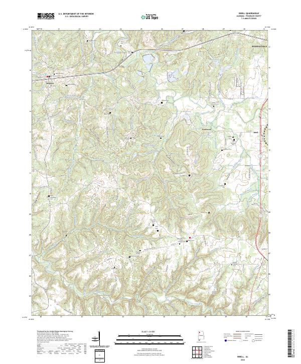 2024 Isbell2024 Print · USGSFranklin County's landscape is preserved here as it appears today, marked by its deep hollows and ancestral burial grounds. Genealogists can trace family lines through numerous sites like Cedar Creek Furnace Cem, Old Robinson Cem, and Vinson Cem.
 - 2024 Map of Russellville, 2024 Print
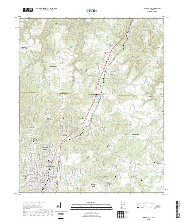 2024 Russellville2024 Print · USGSRussellville and its neighboring mountain ridges appear here in contemporary detail, showing the settled valleys and high hills of Franklin County. Researchers can trace family history through dozens of local sites like Sadler Cem, Tharptown, and the Franklin County Courthouse.
 - 2024 Map of Frankfort, 2024 Print
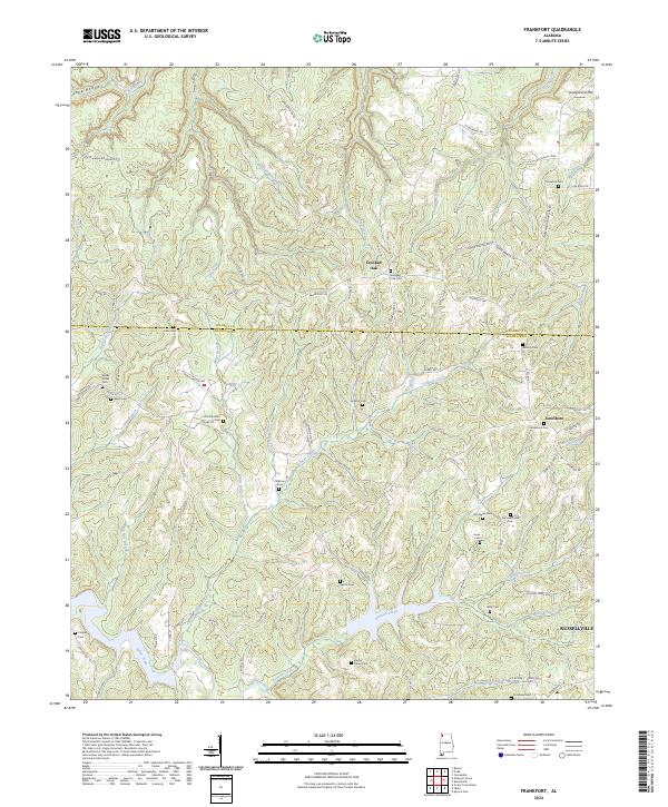 2024 Frankfort2024 Print · USGSFranklin County's rural uplands are shown in detail here, where historical property lines meet the Old Chickasaw Boundary Rd. Researchers can trace generations of local history through sites like Old Frankfort Cem, Antioch Cem, and the settlement of Crooked Oak.
End of results
Showing maps 1-8 of 8
Top cities near Russellville
- Muscle Shoals historical maps
- Tuscumbia historical maps
- Haleyville historical maps
- Hackleburg historical maps
- Bear Creek historical maps
- Littleville historical maps
See more
Top neighborhoods of Russellville
- Woodlawn Heights historical maps
- Hester Heights historical maps
- Reedtown historical maps
- Russellville Commercial Historic District historical maps
Frequently asked questions
- What are the different types of historical maps available for Russellville?
- What is the oldest map of Russellville?
- Where can I purchase historical maps of Russellville for my home or office?
- Where can I download high-res historical maps of Russellville?
- Are there historical topographic maps available for Russellville?
- Is there historical aerial imagery available for Russellville?
- Where are historical maps of Russellville sourced from?