2010s Maps of Geneva County, Alabama
Explore 63 historic maps of Geneva County from the 2010s. These maps offer a rare glimpse into what life looked like during the 2010s — showing old roads, neighborhoods, homes, and landmarks that have changed or disappeared over time.
Whether you're researching your family's past, planning a metal detecting trip, or studying how Geneva County's landscape evolved across the 2010s, these high-resolution maps are a powerful tool for exploring the history of this region.
- Focus on a specific era: All maps on this page are from the 2010s, giving you a focused view of this time period.
- See what’s changed: Compare century-old streets, trails, and buildings to today's modern landscape using overlays and satellite layers.
- Research with precision: Use these maps for genealogy, historical research, land use analysis, or educational projects.
- View, download, or print: Maps are fully viewable online in high resolution, and can be downloaded or printed for your own records.
Start exploring Geneva County's history through authentic maps from the 2010s. This is your window into the past.
Geneva County, AL maps
(63)- 2011 Map of Madrid, 2011 Print
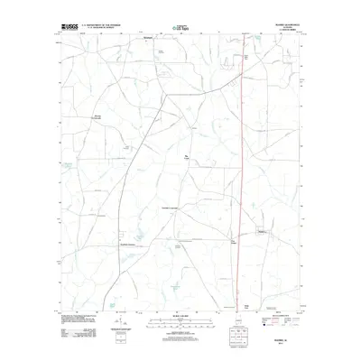 2011 Madrid2011 Print · USGSSouthern Houston County is captured here in the early twenty-first century, showing the rural communities along the Florida border. Genealogists and local historians can trace family locations through Sanders Cemetery, Southern Junction, and the crossroads at Five Points.
 - 2011 Map of Coffee Springs, 2011 Print
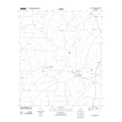 2011 Coffee Springs2011 Print · USGSGeneva County at the start of the 2010s reveals a landscape of quiet rural settlements and ancestral burial grounds. Genealogists can trace family connections at Marvin Chapel Cemetery, Moore Cemetery, and Coffee Springs.
 - 2011 Map of Geneva West, 2011 Print
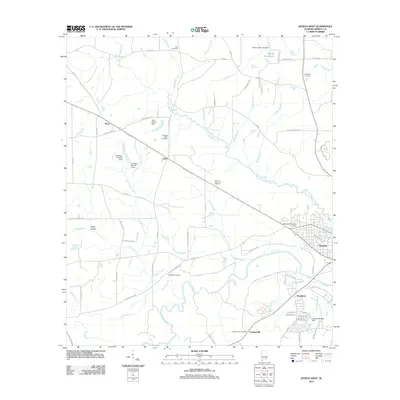 2011 Geneva West2011 Print · USGSGeneva County, Alabama, in the early twenty-first century is defined by its winding river systems and small rural settlements. Researchers can trace local heritage through numerous burial sites like McDuffie Cemetery and Pleasant Ridge Cemetery or locate landmarks like Jack Ausley Dam.
 - 2011 Map of Malvern, 2011 Print
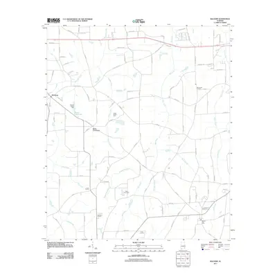 2011 Malvern2011 Print · USGSThe area west of Dothan comes into focus in this early 21st-century record of rural Alabama life. Genealogists and historians can locate family landmarks such as Purvis Cemetery, the Malvern Post Office, and Emmett Sellers Lake.
 - 2011 Map of Slocomb, 2011 Print
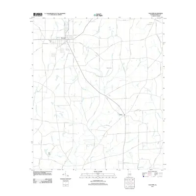 2011 Slocomb2011 Print · USGSGeneva County agriculture and small-town life are captured here in the early twenty-first century as Slocomb expands along its rail-and-road corridors. Researchers can trace local lineages through Martin Cemetery or follow the waters of Wrights Creek to the settlement at Fadette.
 - 2011 Map of Bellwood, 2011 Print
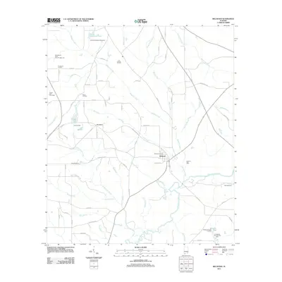 2011 Bellwood2011 Print · USGSBellwood and the surrounding Geneva County landscape are shown here in the early 2000s, where the winding Choctawhatchee River meets a network of rural roads. Genealogists and local historians can trace family roots through sites like Consolation Cemetery, Scranton, and the Bellwood Post Office.
 - 2011 Map of Dothan West, 2011 Print
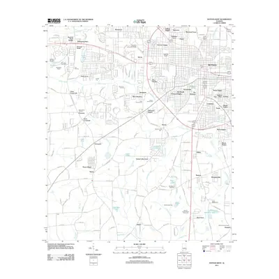 2011 Dothan West2011 Print · USGSThe growing western edge of the Peanut Capital of the World is seen here just after the turn of the millennium. Researchers can find old family burial grounds at Memory Hill or Mount Gilead Cemetery, and trace local landmarks like the National Peanut Festival Fairgrounds.
 - 2011 Map of Hartford, 2011 Print
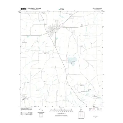 2011 Hartford2011 Print · USGSGeneva County at the turn of the decade reveals a landscape of tight-knit agricultural communities and managed waterways. Genealogists can locate several burial sites including Pondtown Cemetery and Spike Cemetery, or trace the Kennedy family dams along Tennille Creek.
 - 2011 Map of Geneva East, 2011 Print
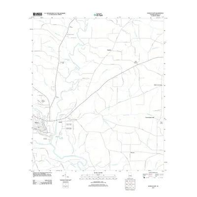 2011 Geneva East2011 Print · USGSGeneva and Eunola are shown at the height of their modern development near the confluence of the Pea and Choctawhatchee Rivers. Researchers can locate long-standing family landmarks such as Vanlandingham Mill, Jones Cemetery, and the crossroads of Highfalls.
 - 2011 Map of Hacoda, 2011 Print
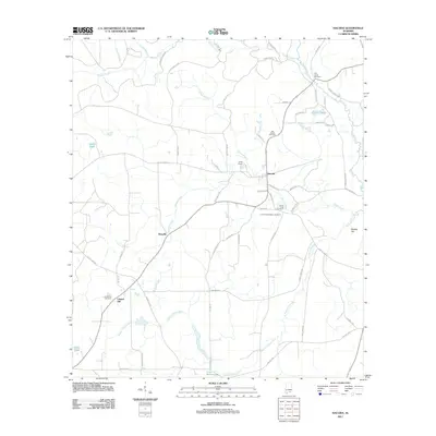 2011 Hacoda2011 Print · USGSCovington County at the start of the 2010s remains a landscape of quiet crossroads and historic family burial grounds. Genealogists and researchers can trace local roots through landmarks like Flat Creek Cemetery, Hacoda, and the Old Sardis Cemetery.
 - 2011 Map of Clayhatchee, 2011 Print
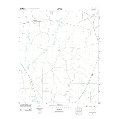 2011 Clayhatchee2011 Print · USGSSoutheast Alabama’s agricultural heartland is documented here during the early 21st century, centered on the Choctawhatchee River and its rural outskirts. Genealogists can locate family landmarks like Shiloh Cemetery, High Bluff, and Posey Hollow.
 - 2011 Map of Kinston, 2011 Print
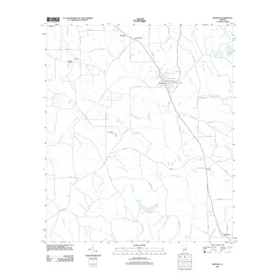 2011 Kinston2011 Print · USGSCovington County community life in the early 2000s is centered around Kinston, where rural routes and family burial grounds dot the landscape. Researchers can trace local heritage at Beulah Cemetery, locate the Kinston Post Office, or follow the waters of Faulk Mill Creek.
 - 2011 Map of Sellersville, 2011 Print
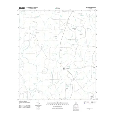 2011 Sellersville2011 Print · USGSSoutheastern Alabama in the early 2010s reveals a deeply rooted rural landscape shaped by the Pea River and its many tributaries. Genealogists and local historians can trace family ties through Macedonia Cemetery, Haney Cemetery, and the site of Underwood Mill.
 - 2011 Map of Samson, 2011 Print
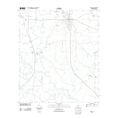 2011 Samson2011 Print · USGSGeneva County at the start of the 2010s shows a landscape of small-town centers and quiet river bends. Researchers can locate local burial sites like Oak Ridge Cemetery and community landmarks such as the Samson Post Office and Liberty Chapel Camp Grounds.
 - 2012 Map of Gaskin, 2012 Print
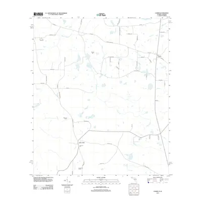 2012 Gaskin2012 Print · USGSGaskin and the northern Florida panhandle appear here in the early twenty-first century, showing a landscape of working timberlands and scattered farmsteads. Researchers can trace family-named routes and landmarks like Eight Mile Cemetery RD, Jackson Still Tower, and Danley Hill.
 - 2012 Map of Darlington, 2012 Print
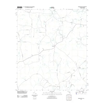 2012 Darlington2012 Print · USGSThe rural borderlands between Florida and Alabama come into focus in this early twenty-first-century survey of Holmes County. Local historians can trace old homesteads and burial sites like Leonia Cem, Padgett Cem, and the quiet waters of Weaver Springs.
 - 2012 Map of Hobbs Crossroads, 2012 Print
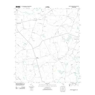 2012 Hobbs Crossroads2012 Print · USGSThe Florida-Alabama borderlands come to life in this detailed study of the river-junction landscape around the turn of the decade. Genealogists can locate family landmarks like Royals Cem, Barker Store, and the historic Old Warehouse Landing.
 - 2012 Map of Esto, 2012 Print
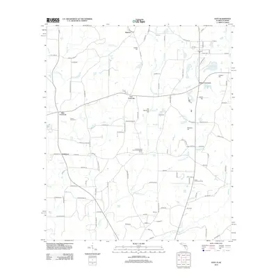 2012 Esto2012 Print · USGSThe Florida-Alabama border comes to life in this survey of the Holmes County countryside during the early 2010s. Researchers can locate the storied Bethlehem West Florida Camp Meeting Ground, old family burials at Double Springs Cem, and quiet hamlets like Highnote.
 - 2012 Map of Izagora, 2012 Print
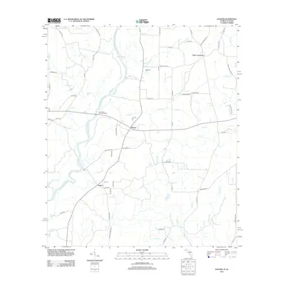 2012 Izagora2012 Print · USGSGeneva County and the Florida border region are shown here in the early twenty-first century, centered on the winding Choctawhatchee River. Researchers can trace local community roots through landmarks like the Curry Ferry, Smith Crossroads, and the Whitewater Cem.
 - 2012 Map of Graceville, 2012 Print
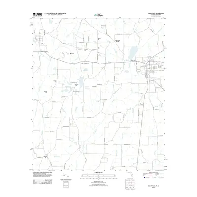 2012 Graceville2012 Print · USGSGraceville and the surrounding Jackson County countryside are shown here in the early twenty-first century, spanning the Florida-Alabama line. Researchers can locate family landmarks such as Damascus Cem, Collins Mill, and several named summits like McIntosh Hill.
 - 2012 Map of Campbellton, 2012 Print
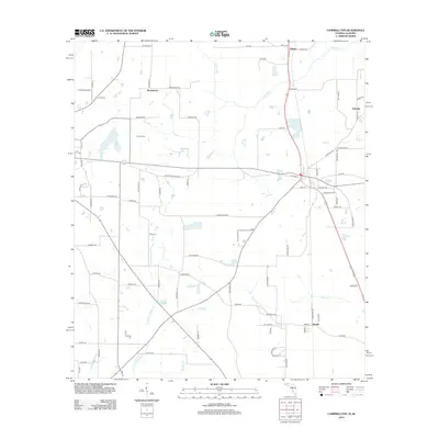 2012 Campbellton2012 Print · USGSThe Florida-Alabama borderlands come into focus in the early twenty-first century, showing a landscape of rural settlements and winding waterways. Genealogists and local historians can trace family-named roads and sites like Hinson Cem, Browntown, and Jacobs.
 - 2014 Map of Samson, 2014 Print
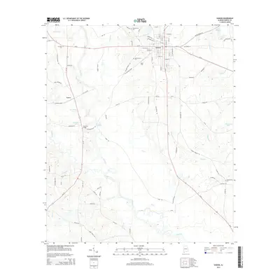 2014 Samson2014 Print · USGSThe town of Samson and the Pea River valley are shown here in the mid-2010s, capturing a landscape of rural crossroads and river bends. Local researchers can locate Liberty Chapel Cem, the Hays Ferry Bridge, and the path of the OLD RAILROAD GRADE.
 - 2014 Map of Kinston, 2014 Print
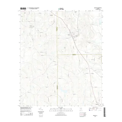 2014 Kinston2014 Print · USGSThe intersection of Coffee, Covington, and Geneva Counties in the early 2010s reveals a deeply rooted rural landscape of timber tracts and family farms. Local historians can trace established community landmarks like Beulah, Saint Pauls Cem, and the waters of Flat Creek.
 - 2014 Map of Sellersville, 2014 Print
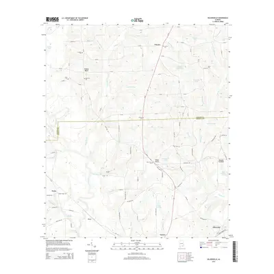 2014 Sellersville2014 Print · USGSSoutheastern Alabama's rural landscape is captured here in the early twenty-first century, spanning the border of Coffee and Geneva counties. Genealogists and local historians can locate numerous community landmarks, including Piney Grove Cem, Holley Store, and Faulk Millpond.
 - 2014 Map of Hacoda, 2014 Print
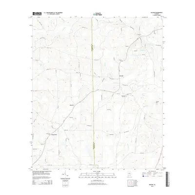 2014 Hacoda2014 Print · USGSThe Covington and Geneva county line runs through this rural Alabama landscape as it appeared in the mid-2010s. Researchers can locate community centers like Howells and Hacoda or trace family roots at Old Sardis Cem and Chapel Hill Cem.
Showing maps 1-25 of 63
Top cities of Geneva County
- Geneva historical maps
- Hartford historical maps
- Slocomb historical maps
- Samson historical maps
- Malvern historical maps
- Eunola historical maps
See more
Frequently asked questions
- What are the different types of historical maps available for Geneva County?
- What is the oldest map of Geneva County?
- Where can I purchase historical maps of Geneva County for my home or office?
- Where can I download high-res historical maps of Geneva County?
- Are there historical topographic maps available for Geneva County?
- Is there historical aerial imagery available for Geneva County?
- Where are historical maps of Geneva County sourced from?