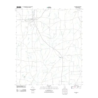
2011 Map of Slocomb
USGS Topo · Published 2011About this map
Slocomb serves as the primary hub in this corner of Geneva County, characterized by a grid of streets and the Slocomb Post Office. The landscape is defined by an intricate network of waterways, including the winding Wrights Creek and its many tributaries like Davis Mill Creek and Grant Branch. These streams shape the agricultural and residential layout, with roads such as Old Fadette Rd and Co Hwy 49 connecting the central town to the outlying community of Fadette.
Find a feature on this map
84 named features on this map. Tap any name to fly to it.
Don’t see what you’re looking for? This feature index may not catch every label — zoom into the map to look around manually.
Map Details
Editions of this 2011 Slocomb Map
This is the sole edition of this map. No revisions or reprints were ever made.
Other maps of this area

1942 · Enterprise
USGS Topo · 1:125,000

1950 · Esto
USGS Topo · 1:24,000

1951 · Graceville
USGS Topo · 1:24,000

1951 · Esto
USGS Topo · 1:24,000

1952 · Campbellton
USGS Topo · 1:24,000

1953 · Dothan
USGS Topo · 1:250,000

1954 · Dothan
USGS Topo · 1:250,000

1954 · Tallahassee
USGS Topo · 1:250,000

1955 · Dothan
USGS Topo · 1:250,000

1957 · Malvern
USGS Topo · 1:24,000