2020s Maps of Jackson County, Alabama
Explore 60 historic maps of Jackson County from the 2020s. These maps offer a rare glimpse into what life looked like during the 2020s — showing old roads, neighborhoods, homes, and landmarks that have changed or disappeared over time.
Whether you're researching your family's past, planning a metal detecting trip, or studying how Jackson County's landscape evolved across the 2020s, these high-resolution maps are a powerful tool for exploring the history of this region.
- Focus on a specific era: All maps on this page are from the 2020s, giving you a focused view of this time period.
- See what’s changed: Compare century-old streets, trails, and buildings to today's modern landscape using overlays and satellite layers.
- Research with precision: Use these maps for genealogy, historical research, land use analysis, or educational projects.
- View, download, or print: Maps are fully viewable online in high resolution, and can be downloaded or printed for your own records.
Start exploring Jackson County's history through authentic maps from the 2020s. This is your window into the past.
Jackson County, AL maps
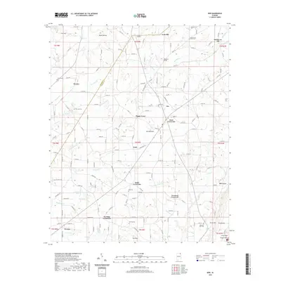
(60)- 2020 Map of New Home, 2020 Print
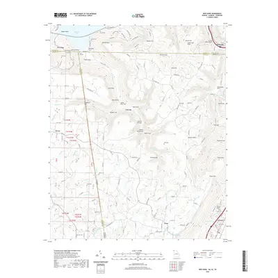 2020 New Home2020 Print · USGSCovers Jackson County, including Trenton, New Hope, and other nearby areas
 - 2020 Map of Trenton, 2020 Print
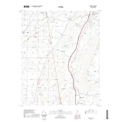 2020 Trenton2020 Print · USGSCovers Jackson County, including Trenton, Shiloh, and other nearby areas
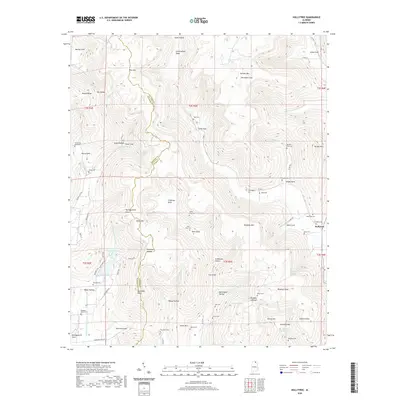
 - 2020 Map of Hollywood, 2020 Print
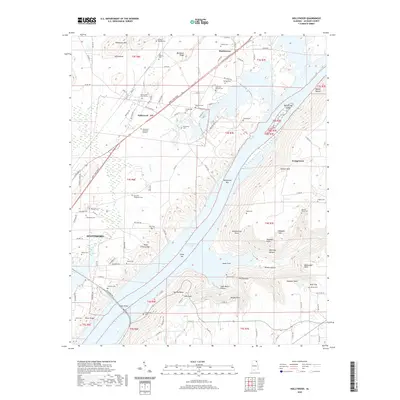 2020 Hollywood2020 Print · USGSCovers Jackson County, including Scottsboro, Hollywood, and other nearby areas
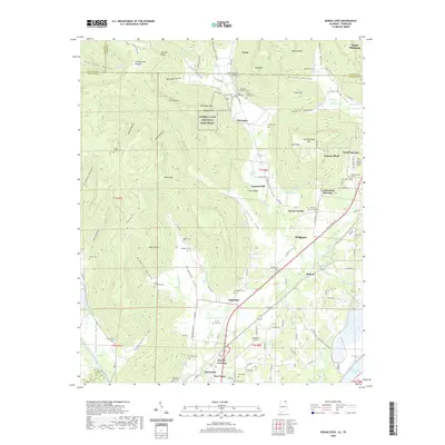
 - 2020 Map of Bridgeport, 2020 Print
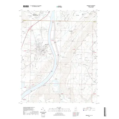 2020 Bridgeport2020 Print · USGSCovers Jackson County, including South Pittsburg, Bridgeport, and other nearby areas
 - 2020 Map of Eureka, 2020 Print
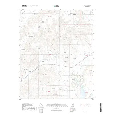
 2020 Eureka2020 Print · USGSCovers Jackson County, including Allison, Gonce, and other nearby areas
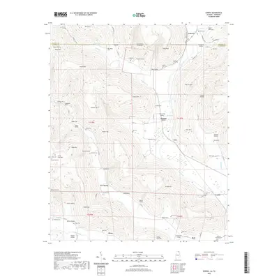
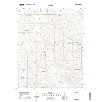
 - 2020 Map of Stevenson, 2020 Print
 2020 Stevenson2020 Print · USGSCovers Jackson County, including Stevenson, Fabius, and other nearby areas
 - 2020 Map of Flat Rock, 2020 Print
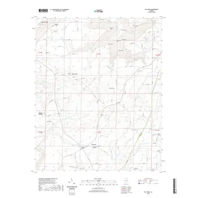 2020 Flat Rock2020 Print · USGSCovers Jackson County, including Overlook, Sulphur Springs, and other nearby areas
 - 2020 Map of Henagar, 2020 Print
 2020 Henagar2020 Print · USGSCovers Jackson County, including Henagar, Pisgah, and other nearby areas
 - 2020 Map of Wannville, 2020 Print
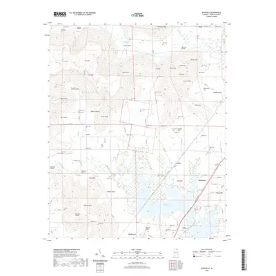 2020 Wannville2020 Print · USGSCovers Jackson County, including Stevenson, Hollywood, and other nearby areas
 - 2020 Map of Ider, 2020 Print
 2020 Ider2020 Print · USGSCovers Jackson County, including Henagar, Ider, and other nearby areas
 - 2020 Map of Dutton, 2020 Print
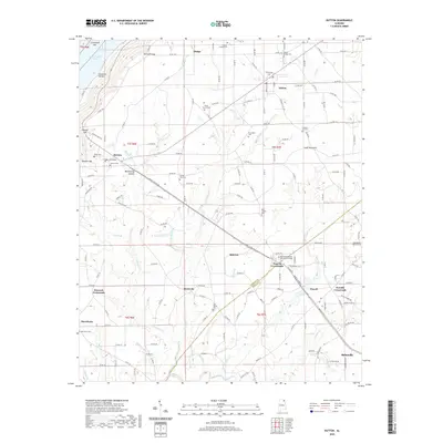 2020 Dutton2020 Print · USGSCovers Jackson County, including Scottsboro, Rainsville, and other nearby areas
 - 2020 Map of Sylvania, 2020 Print
 2020 Sylvania2020 Print · USGSCovers Jackson County, including Rainsville, Henagar, and other nearby areas
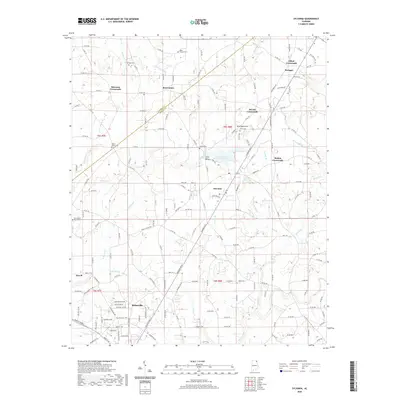
 - 2020 Map of Fyffe, 2020 Print
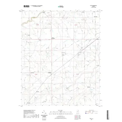 2020 Fyffe2020 Print · USGSCovers Jackson County, including Rainsville, Fyffe, and other nearby areas
 - 2020 Map of Doran Cove, 2020 Print
 2020 Doran Cove2020 Print · USGSCovers Jackson County, including Bridgeport, Stevenson, and other nearby areas
 - 2020 Map of Mud Creek, 2020 Print
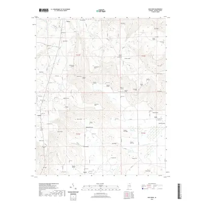 2020 Mud Creek2020 Print · USGSCovers Jackson County, including Skyline, Hytop, and other nearby areas
 - 2020 Map of Grove Oak, 2020 Print
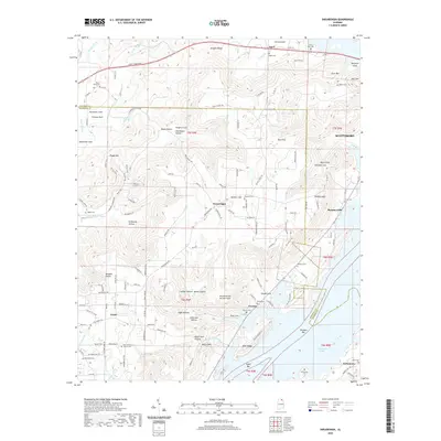
 2020 Grove Oak2020 Print · USGSCovers Jackson County, including Guntersville, Grove Oak, and other nearby areas
 - 2020 Map of Langston, 2020 Print
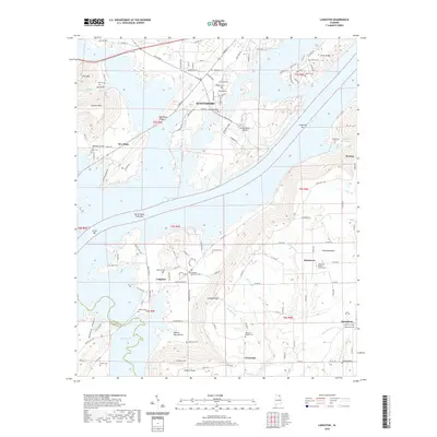 2020 Langston2020 Print · USGSCovers Jackson County, including Scottsboro, Section, and other nearby areas
 - 2020 Map of Scottsboro, 2020 Print
 2020 Scottsboro2020 Print · USGSCovers Jackson County, including Scottsboro, Webb Addition, and other nearby areas
 - 2020 Map of Swearengin, 2020 Print
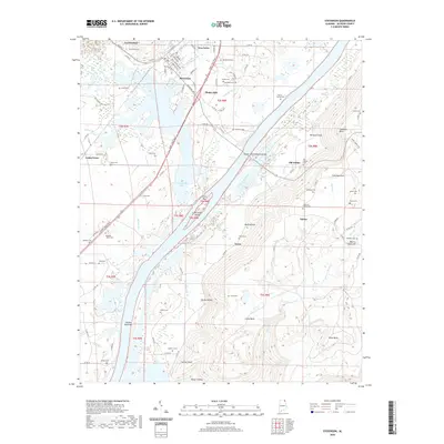
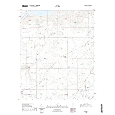
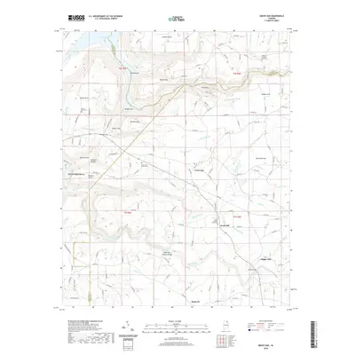
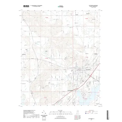
 2020 Swearengin2020 Print · USGSCovers Jackson County, including Scottsboro, Grant, and other nearby areas
 - 2020 Map of Estill Fork, 2020 Print
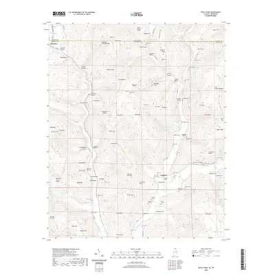 2020 Estill Fork2020 Print · USGSCovers Jackson County, including Francisco, Estillfork, and other nearby areas
 - 2020 Map of Princeton, 2020 Print
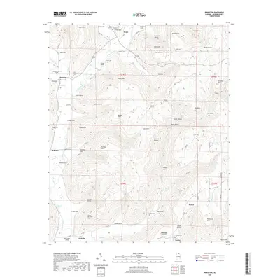 2020 Princeton2020 Print · USGSCovers Jackson County, including Skyline, Pleasant Groves, and other nearby areas
 - 2020 Map of Hytop, 2020 Print
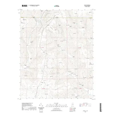 2020 Hytop2020 Print · USGSCovers Jackson County, including Hytop, Jericho, and other nearby areas
 - 2020 Map of King Cove, 2020 Print
 2020 King Cove2020 Print · USGSCovers Jackson County, including Madison County, Franklin County, and other nearby areas
 - 2020 Map of Hollytree, 2020 Print
 2020 Hollytree2020 Print · USGSCovers Jackson County, including Hollytree, Madison County, and other nearby areas
 - 2020 Map of Lim Rock, 2020 Print
 2020 Lim Rock2020 Print · USGSCovers Jackson County, including Scottsboro, Pleasant Groves, and other nearby areas
Showing maps 1-25 of 60
Top cities of Jackson County
- Scottsboro historical maps
- Bridgeport historical maps
- Stevenson historical maps
- Hollywood historical maps
- Skyline historical maps
- Section historical maps
See more
Frequently asked questions
- What are the different types of historical maps available for Jackson County?
- What is the oldest map of Jackson County?
- Where can I purchase historical maps of Jackson County for my home or office?
- Where can I download high-res historical maps of Jackson County?
- Are there historical topographic maps available for Jackson County?
- Is there historical aerial imagery available for Jackson County?
- Where are historical maps of Jackson County sourced from?