2000s (21st Century) Maps of Jackson County, Alabama
Explore 147 historic maps of Jackson County from the 2000s (21st Century). These maps offer a rare glimpse into what life looked like during the 2000s — showing old roads, neighborhoods, homes, and landmarks that have changed or disappeared over time.
Whether you're researching your family's past, planning a metal detecting trip, or studying how Jackson County's landscape evolved across the 2000s, these high-resolution maps are a powerful tool for exploring the history of this region.
- Focus on a specific era: All maps on this page are from the 2000s, giving you a focused view of this time period.
- See what’s changed: Compare century-old streets, trails, and buildings to today's modern landscape using overlays and satellite layers.
- Research with precision: Use these maps for genealogy, historical research, land use analysis, or educational projects.
- View, download, or print: Maps are fully viewable online in high resolution, and can be downloaded or printed for your own records.
Start exploring Jackson County's history through authentic maps from the 2000s. This is your window into the past.
Jackson County, AL maps
(147)- 2010 Map of King Cove, 2010 Print
 2010 King Cove2010 Print · USGSCrossing the Alabama and Tennessee line, this 2010 survey shows a landscape of deep coves and family-named hollows. Genealogists can locate several remote burial grounds, including Bethel Cemetery, Crowell Cemetery, and King Cove Cemetery.
 - 2010 Map of Hytop, 2010 Print
 2010 Hytop2010 Print · USGSHytop and the Jackson County highlands are captured here in the early twenty-first century as a landscape of deep hollows and family homesteads. Genealogists and local historians can locate several burial sites including Knight Cemetery and Culver Cemetery near the striking Walls of Jericho.
 - 2010 Map of Estill Fork, 2010 Print
 2010 Estill Fork2010 Print · USGSAlabama's mountain coves and hollows are documented here during the early twenty-first century, showing a landscape shaped by the Estill Fork and Paint Rock River. Researchers can locate dozens of family burial sites including Old Bostick Hill Cemetery, McCullough Cemetery, and Swaim Cemetery.
 - 2010 Map of Bridgeport, 2010 Print
 2010 Bridgeport2010 Print · USGSBridgeport and the surrounding river valley are captured here just after the turn of the millennium, showing a landscape shaped by the Tennessee River and regional agriculture. Genealogists can locate family burial sites like Kirkpatrick Cemetery and Walker Family Cemetery or trace the old river crossings at Reese Ferry.
 - 2010 Map of Doran Cove, 2010 Print
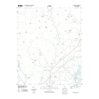 2010 Doran Cove2010 Print · USGSThe Alabama-Tennessee borderlands at the start of the 21st century reveal a landscape of deep mountain coves and valley mines. Genealogists and historians can trace numerous family burial sites like Rocky Spring Cemetery and Walker Cemetery, or locate old industrial works at Montague Mines.
 - 2010 Map of New Home, 2010 Print
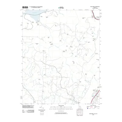 2010 New Home2010 Print · USGSThe Georgia and Tennessee borderlands in the early twenty-first century reveal a landscape shaped by coal extraction and deep gulfs. Genealogists and historians can trace numerous family burial sites like Clouse Cemetery and Reeves Cemetery alongside legacy mining operations such as the New England Mine.
 - 2010 Map of Eureka, 2010 Print
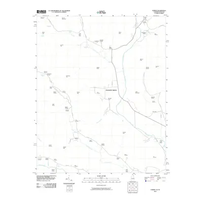 2010 Eureka2010 Print · USGSThe borderlands of Alabama and Tennessee come into focus during the early twenty-first century, centered on the community of Pleasant Grove. Genealogists and local historians can trace family lineages through numerous sites like McCrary Cemetery, Allison Cemetery, and the Sparkman Mine.
 - 2011 Map of Trenton, 2011 Print
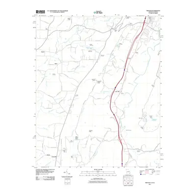 2011 Trenton2011 Print · USGSThe Georgia-Alabama borderlands at the start of the 2010s show a landscape of high ridges and narrow valleys. Genealogists can trace family names through numerous burial sites like Easley Cemetery and Long Cemetery, or locate the White Oak Mine near the state line.
 - 2011 Map of Grant, 2011 Print
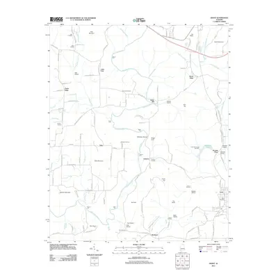 2011 Grant2011 Print · USGSMarshall County at the start of the twenty-first century reveals a landscape where deep-rooted family names still mark the mountains and hollows. Genealogists and hikers can trace historic river crossings like Fishtrap Ford and locate ancestral sites such as Ashburn Cemetery and the Grant Post Office.
 - 2011 Map of Lim Rock, 2011 Print
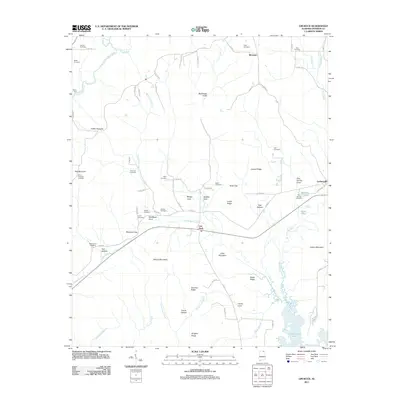 2011 Lim Rock2011 Print · USGSJackson County settlement and topography are well-defined in this 2011 survey of the area surrounding Lim Rock. Researchers can trace dozens of family-named landmarks and burial sites, from Flippo Ford on the river to the Mount Pleasant Cemetery and Gold Cemetery.
 - 2011 Map of Paint Rock, 2011 Print
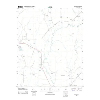 2011 Paint Rock2011 Print · USGSThe Paint Rock River valley in the early twenty-first century remains a landscape of traditional family settlements and river crossings. Researchers can trace ancestral roots at sites like Latham Cemetery or locate historic transit points such as Walker Mill Ford and Flippo Ford.
 - 2011 Map of Langston, 2011 Print
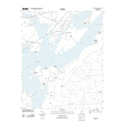 2011 Langston2011 Print · USGSJackson County’s waterfront communities and ridge-top settlements are captured here in the early twenty-first century. Genealogists can locate family burial grounds like Langston Cemetery and Guffy Cemetery alongside landmarks like Goose Pond Island.
 - 2011 Map of Mud Creek, 2011 Print
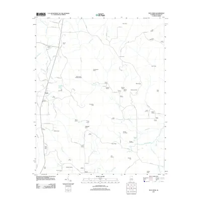 2011 Mud Creek2011 Print · USGSSkyline and the surrounding coves of Jackson County are captured here in the early twenty-first century. Researchers can locate numerous family burial grounds like Sanders Cemetery and Maynard Cove Cemetery or trace landmarks such as The Buzzard Roost.
 - 2011 Map of Swearengin, 2011 Print
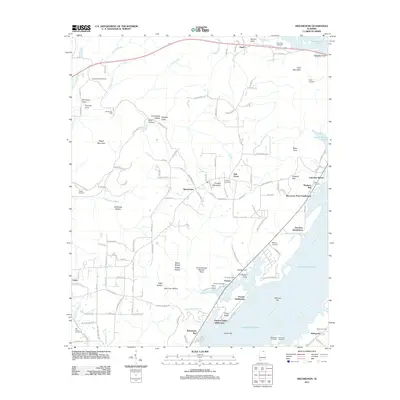 2011 Swearengin2011 Print · USGSJackson County’s riverfront and ridge communities are captured here in the early twenty-first century as Guntersville Lake shapes the local geography. Researchers can trace ancestral sites like Old Barclay Mill or visit numerous burial grounds including Mount Olive Cemetery and Zions Rest Cemetery.
 - 2011 Map of Hytop, 2011 Print
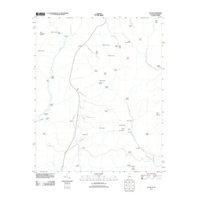 2011 Hytop2011 Print · USGSThe high plateau country of Jackson County comes into focus in this 2011 record of the Alabama-Tennessee borderlands. Genealogists and historians can trace the remote reaches of the Walls of Jericho and locate secluded family landmarks like Haddon Cemetery and Clark Cemetery.
 - 2011 Map of Henagar, 2011 Print
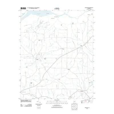 2011 Henagar2011 Print · USGSDeKalb County’s plateau landscape comes into focus in this early 2011 survey, showing the rural communities of Henagar and Pisgah. Researchers can trace local heritage through numerous burial sites like Nelson Cemetery and Clark Cemetery or locate the historic Morris Mill.
 - 2011 Map of Hollywood, 2011 Print
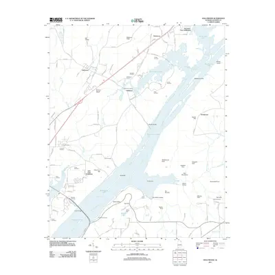 2011 Hollywood2011 Print · USGSJackson County's riverfront emerges in this modern survey, showing the vast reach of Guntersville Lake over the old Tennessee River channel. Genealogists can locate several family burial grounds including Sarratt Cemetery, Henry Cemetery, and Norwood Cemetery.
 - 2011 Map of Hollytree, 2011 Print
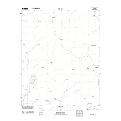 2011 Hollytree2011 Print · USGSJackson County's rugged karst landscape is on full display here in the early twenty-first century. Researchers can trace deep family roots through numerous burial sites like Rousseau Cemetery and Moon Cemetery, or locate landmarks such as the Mountain Lake Resort Dam.
 - 2011 Map of Eureka, 2011 Print
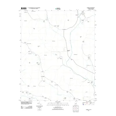 2011 Eureka2011 Print · USGSThe rural borderlands of Alabama and Tennessee are captured here in the early twenty-first century. Genealogists can trace family heritage through numerous remote burial sites such as McCrary Cemetery, Gonce Cemetery, and the settlement at Rash.
 - 2011 Map of King Cove, 2011 Print
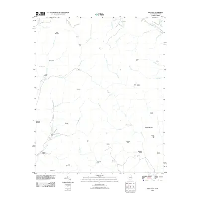 2011 King Cove2011 Print · USGSThe Alabama-Tennessee borderlands are captured here in the early twenty-first century, showing a landscape of high peaks and isolated coves. Researchers can trace family history through sites like Hudson Cemetery, Hambrick Sinks, and King Cove.
 - 2011 Map of Princeton, 2011 Print
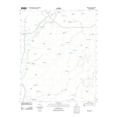 2011 Princeton2011 Print · USGSJackson County's river valleys and mountain coves are meticulously detailed in this early twenty-first-century survey. Researchers can locate family landmarks like the Larkin Fork Post Office, Church Hill Cemetery, and the small community of Little Nashville.
 - 2011 Map of Grove Oak, 2011 Print
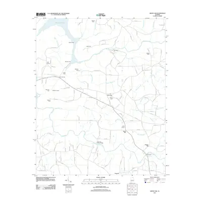 2011 Grove Oak2011 Print · USGSIn this 2011 Marshall County survey, the rural landscape around Grove Oak and the shores of Guntersville Lake are mapped in precise detail. Researchers can locate community landmarks such as the Grove Oak Post Office, High Falls Natural Bridge, and family-named sites like Elrods Bridge.
 - 2011 Map of Scottsboro, 2011 Print
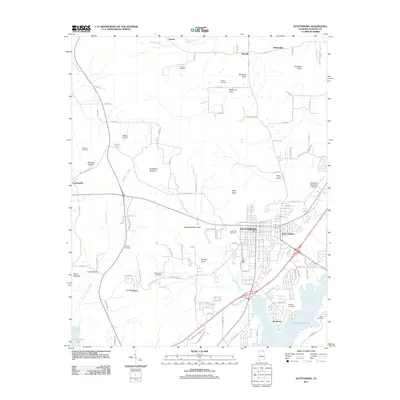 2011 Scottsboro2011 Print · USGSJackson County settlement and the varied terrain of the Tennessee River valley are documented here in the early twenty-first century. Genealogists and local researchers can locate numerous family burial sites like Rosson Cemetery and Burgess Cemetery or trace the geography of Poorhouse Mountain and Riley Cove.
 - 2011 Map of Flat Rock, 2011 Print
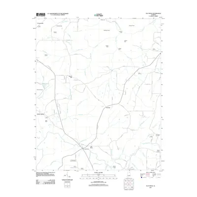 2011 Flat Rock2011 Print · USGSUpper Jackson County at the start of the twenty-first century reveals a landscape of high plateaus and deep gulfs. Genealogists and local historians can trace family ties through Ridley Cemetery, Sulphur Springs, and the trails surrounding High Falls.
 - 2011 Map of Ider, 2011 Print
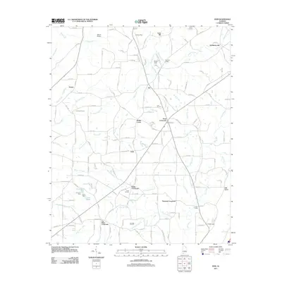 2011 Ider2011 Print · USGSDeKalb County at the start of the 2010s is characterized by its interconnected rural crossroads and family homesteads. Researchers can trace ancestral locations through numerous burial grounds like Biddle Cemetery or locate historic industry at Old Blevins Mill and Yorks Mill.
Showing maps 1-25 of 147
Top cities of Jackson County
- Scottsboro historical maps
- Bridgeport historical maps
- Stevenson historical maps
- Hollywood historical maps
- Skyline historical maps
- Section historical maps
See more
Frequently asked questions
- What are the different types of historical maps available for Jackson County?
- What is the oldest map of Jackson County?
- Where can I purchase historical maps of Jackson County for my home or office?
- Where can I download high-res historical maps of Jackson County?
- Are there historical topographic maps available for Jackson County?
- Is there historical aerial imagery available for Jackson County?
- Where are historical maps of Jackson County sourced from?