Old Maps of Myrtlewood, Alabama for Hiking & Exploration
Hike through history with 16 historic maps of Myrtlewood. Explore old trails, ghost towns, and forgotten backroads — perfect for outdoor adventurers and local explorers.
- Rediscover forgotten places: Map out old mining camps, roads, and footpaths that no longer exist on modern maps.
- Layer with modern tools: Combine with LiDAR or satellite views to plan hikes through historical terrain.
- Made for exploration: Popular among hikers, overlanders, and local history lovers.
Use these maps to find adventure and explore the hidden past of Myrtlewood.
Myrtlewood, AL maps
(16)- 1953 Map of Montgomery, 1964 Print
 1953 Montgomery1964 Print · USGSCentral Alabama's river-and-rail corridor is mapped here in the mid-fifties, showing the vital connections between the capital and the Black Belt. Genealogists and historians can trace rail depots and crossroads from Marion Junction to Wetumpka, alongside landmarks like Craig AFB.4 unique versions available
 - 1956 Map of Montgomery
 1956 Montgomery1956 Print · USGSCentral Alabama in the mid-1950s shows a landscape defined by its great river systems and a booming military aviation presence. Genealogists and historians can trace the rail corridors of the Southern Railway and locate tactical bases like Maxwell AFB and Craig AFB.
 - 1957 Map of Montgomery
 1957 Montgomery1957 Print · USGSCentral Alabama in the mid-fifties is defined by the winding Alabama River and a strategic network of military bases and rail lines. Trace family roots in Montgomery and Selma, or locate landmarks like Craig AFB and the State Capitol before the interstate era.
 - 1970 Map of Myrtlewood North, 1973 Print
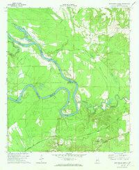 1970 Myrtlewood North1973 Print · USGSMarengo County and its neighbors meet along the winding river bends of the Tombigbee in the late sixties. Genealogists and local historians can trace family locations near Myrtlewood, Hill Top, and country churches like New Macedonia Ch.
 - 1978 Map of Myrtlewood South, 1979 Print
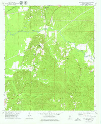 1978 Myrtlewood South1979 Print · USGSMarengo County during the late seventies shows a rural landscape shaped by timber, rail, and water. Genealogists and local historians can trace family locations near Half Acre, James Chapel, and the Community Cem along the winding Beaver Creek.
 - 1986 Map of Selma
 1986 Selma1986 Print · USGSCentral Alabama's river and rail networks are preserved here in the mid-eighties, showing the transition from river travel to modern infrastructure. Researchers can trace the layout of Selma, the historic capital at Cahaba, and the Millers Ferry Lock and Dam.2 unique versions available
 - 2011 Map of Myrtlewood South, 2011 Print
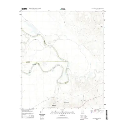
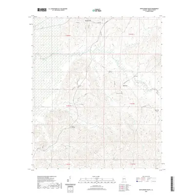
 2011 Myrtlewood South2011 Print · USGSCovers Myrtlewood, including Geneva, Campground, and other nearby areas
 - 2011 Map of Myrtlewood North, 2011 Print
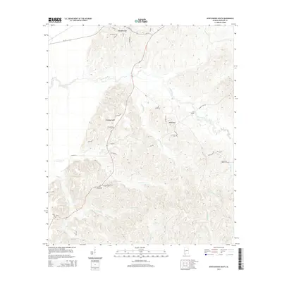
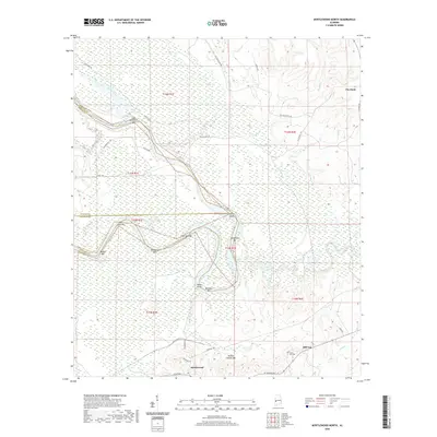
 2011 Myrtlewood North2011 Print · USGSCovers Myrtlewood, including Hill Top, Marengo County, and other nearby areas
 - 2014 Map of Myrtlewood South, 2014 Print
 2014 Myrtlewood South2014 Print · USGSCovers Myrtlewood, including Geneva, Campground, and other nearby areas
 - 2014 Map of Myrtlewood North, 2014 Print
 2014 Myrtlewood North2014 Print · USGSCovers Myrtlewood, including Hill Top, Marengo County, and other nearby areas
 - 2018 Map of Myrtlewood North, 2018 Print
 2018 Myrtlewood North2018 Print · USGSCovers Myrtlewood, including Hill Top, Marengo County, and other nearby areas
 - 2018 Map of Myrtlewood South, 2018 Print
 2018 Myrtlewood South2018 Print · USGSCovers Myrtlewood, including Geneva, Campground, and other nearby areas
 - 2020 Map of Myrtlewood North, 2020 Print
 2020 Myrtlewood North2020 Print · USGSCovers Myrtlewood, including Hill Top, Marengo County, and other nearby areas
 - 2020 Map of Myrtlewood South, 2020 Print
 2020 Myrtlewood South2020 Print · USGSCovers Myrtlewood, including Geneva, Campground, and other nearby areas
 - 2024 Map of Myrtlewood North, 2024 Print
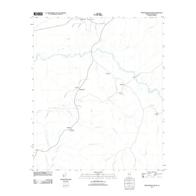
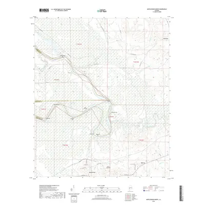
 2024 Myrtlewood North2024 Print · USGSWestern Alabama's river-driven landscape comes into focus here, where the winding waterway separates three counties. Researchers can trace the path of Rentz Ferry and locate old settlements such as Myrtlewood and Pin Hook.
 - 2024 Map of Myrtlewood South, 2024 Print
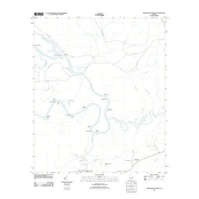
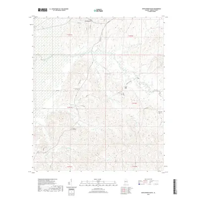
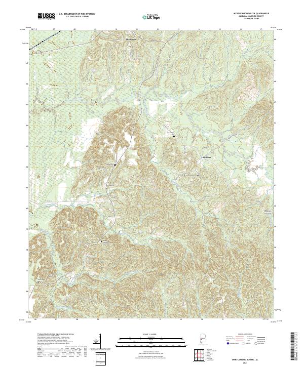 2024 Myrtlewood South2024 Print · USGSMarengo County is mapped here in its modern rural character, defined by the winding drainages of Beaver Creek and the North Double Creek. Researchers can locate family landmarks like James Chapel Cem, Howell Cem, and the Geneva Presbyterian Church Cem.
End of results
Showing maps 1-16 of 16
Top cities near Myrtlewood
- Demopolis historical maps
- Linden historical maps
- Butler historical maps
- Bellamy historical maps
- Pennington historical maps
- Sweet Water historical maps
See more
Frequently asked questions
- What are the different types of historical maps available for Myrtlewood?
- What is the oldest map of Myrtlewood?
- Where can I purchase historical maps of Myrtlewood for my home or office?
- Where can I download high-res historical maps of Myrtlewood?
- Are there historical topographic maps available for Myrtlewood?
- Is there historical aerial imagery available for Myrtlewood?
- Where are historical maps of Myrtlewood sourced from?