Old Maps of Aliceville, Alabama for Academic Research
Study the evolution of Aliceville with 16 high-resolution historic maps. Whether you're teaching, researching, or modeling changes in land use, these maps provide essential visual documentation of urban, environmental, and geographic change.
- Analyze long-term change: Track patterns in development, transportation, and natural features.
- Ideal for environmental or urban studies: Support academic projects with primary historical map data.
- Use in the classroom or lab: Educators and researchers rely on these maps to bring historical context to life.
These maps are a powerful tool for teaching, research, and visualizing how Aliceville has changed over the decades.
Aliceville, AL maps
(16)- 1953 Map of West Point, 1973 Print
 1953 West Point1973 Print · USGSNorth-Central Mississippi and the Alabama borderlands are captured here during the mid-twentieth century as new reservoirs and national forests transformed the landscape. Researchers can trace the path of the Mississippi & Skuna Valley railroad or locate old landings along the Tombigbee River and Schooner Creek.3 unique versions available
 - 1958 Map of West Point
 1958 West Point1958 Print · USGSNortheastern Mississippi and western Alabama are shown in the late 1950s, highlighting a region defined by its river-and-rail economy. Researchers can trace family roots through numerous settlements like Artesia and Vardaman or explore the corridor of the Tombigbee River.
 - 1963 Map of West Point
 1963 West Point1963 Print · USGSEastern Mississippi and western Alabama are captured in the early sixties as industrial centers and rail lines connected the Black Prairie to the hills. Genealogists and historians can trace family-named watercourses and the early footprints of Starkville, Columbus, and the Noxubee National Wildlife Refuge.2 unique versions available
 - 1970 Map of Aliceville North, 1972 Print
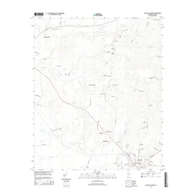
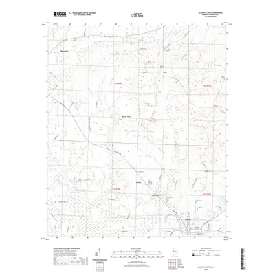
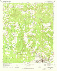 1970 Aliceville North1972 Print · USGSThe town of Aliceville and its rural surroundings in Pickens County are documented here during the early 1970s. Local researchers can locate family-named landmarks and institutions like Kirksey High Sch, Franconia Cem, and the Pilgrim Rest Ch.2 unique versions available
 - 1970 Map of Aliceville South, 1973 Print
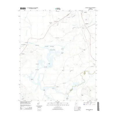
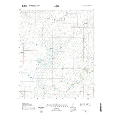
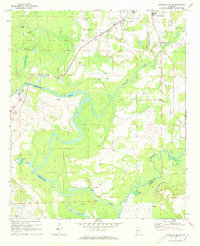 1970 Aliceville South1973 Print · USGSPickens County at the start of the 1970s is shown as a fertile riverine landscape where the St. Louis-San Francisco railroad met the Tombigbee River. Researchers can locate old community hubs like Cochrane and Vienna, alongside family-named landmarks such as McCaa Cem and Trantham Cem.3 unique versions available
 - 1984 Map of West Point
 1984 West Point1984 Print · USGSNorth-Central Mississippi in the mid-eighties shows a landscape defined by massive water management projects and dense timberlands. Researchers can trace the legacy of rural settlements like Geeslin Corner or the rail corridors of the Illinois Central Gulf RR near Grenada Lake.3 unique versions available
 - 2011 Map of Aliceville South, 2011 Print
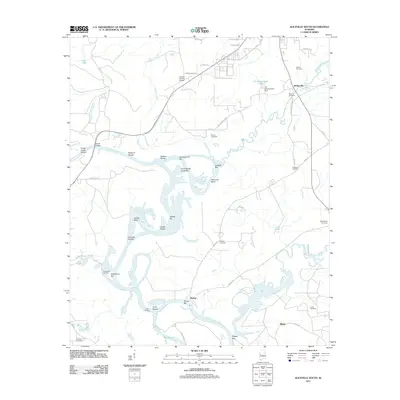 2011 Aliceville South2011 Print · USGSCovers Aliceville, including Vienna, Ridge, and other nearby areas
 - 2011 Map of Aliceville North, 2011 Print
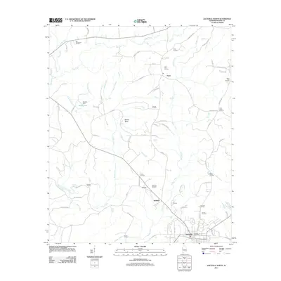 2011 Aliceville North2011 Print · USGSCovers Aliceville, including Pickensville, McMullen, and other nearby areas
 - 2014 Map of Aliceville North, 2014 Print
 2014 Aliceville North2014 Print · USGSCovers Aliceville, including Pickensville, McMullen, and other nearby areas
 - 2014 Map of Aliceville South, 2014 Print
 2014 Aliceville South2014 Print · USGSCovers Aliceville, including Vienna, Ridge, and other nearby areas
 - 2018 Map of Aliceville North, 2018 Print
 2018 Aliceville North2018 Print · USGSCovers Aliceville, including Pickensville, McMullen, and other nearby areas
 - 2018 Map of Aliceville South, 2018 Print
 2018 Aliceville South2018 Print · USGSCovers Aliceville, including Vienna, Ridge, and other nearby areas
 - 2020 Map of Aliceville North, 2020 Print
 2020 Aliceville North2020 Print · USGSCovers Aliceville, including Pickensville, McMullen, and other nearby areas
 - 2020 Map of Aliceville South, 2020 Print
 2020 Aliceville South2020 Print · USGSCovers Aliceville, including Vienna, Ridge, and other nearby areas
 - 2024 Map of Aliceville North, 2024 Print
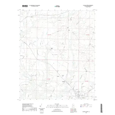
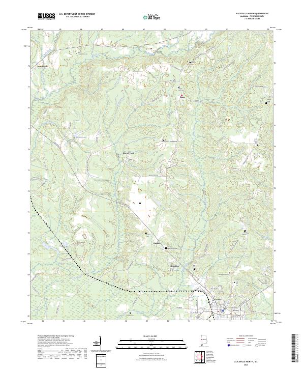 2024 Aliceville North2024 Print · USGSThe rural landscape of Pickens County is documented in this contemporary survey of the settlements north of Aliceville. Family historians can trace local heritage through numerous named burial grounds like New Cumberland Cem and Union Chapel Cem, or along roads like Country View Rd.
 - 2024 Map of Aliceville South, 2024 Print
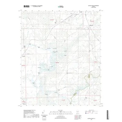
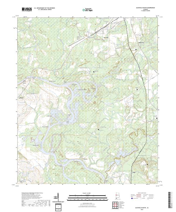 2024 Aliceville South2024 Print · USGSThe Tombigbee River corridor in Pickens County comes to life in this recent survey of its historic shoals and riverside settlements. Genealogists can trace family roots through several local sites like Gardner Cem, Antioch Cem, and the old community at Vienna.
End of results
Showing maps 1-16 of 16
Top cities near Aliceville
- Reform historical maps
- Carrollton historical maps
- Pickensville historical maps
- McMullen historical maps
- Memphis historical maps
Frequently asked questions
- What are the different types of historical maps available for Aliceville?
- What is the oldest map of Aliceville?
- Where can I purchase historical maps of Aliceville for my home or office?
- Where can I download high-res historical maps of Aliceville?
- Are there historical topographic maps available for Aliceville?
- Is there historical aerial imagery available for Aliceville?
- Where are historical maps of Aliceville sourced from?