
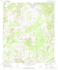
1970 Map of Aliceville South
USGS Topo · Published 1973About this map
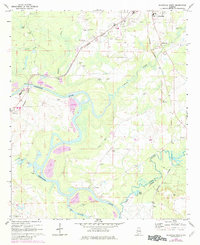
The Tombigbee River meanders through this portion of western Alabama, defining a landscape of low-lying floodplains and intricate watercourses including Lubbub Creek and the Sipsey River. In 1970, the area was characterized by a rural economy where small settlements like Vienna and Bridgeville were connected by the tracks of the St. Louis-San Francisco railroad. The map reveals a dense network of local landmarks essential for genealogical research, such as New Canaan Ch, Providence Ch, and family-named burial sites including McCaa Cem and William Cem. Transportation is represented by the George Downer Airport and a Boat Landing along the riverbanks, while the presence of a Gaging Sta and Sewage Disposal Ponds near Aliceville marks the infrastructure of the era. The terrain transitions toward a prominent Ridge in the southeast, where the Pickens and Greene county line is established.
Find a feature on this map
31 named features on this map. Tap any name to fly to it.
Don’t see what you’re looking for? This feature index may not catch every label — zoom into the map to look around manually.
Map Details
Editions of this 1970 Aliceville South Map
3 editions found
Other maps of this area

1953 · Meridian
USGS Topo · 1:250,000

1953 · West Point
USGS Topo · 1:250,000

1957 · Meridian
USGS Topo · 1:250,000

1958 · West Point
USGS Topo · 1:250,000

1963 · West Point
USGS Topo · 1:250,000

1965 · Meridian
USGS Topo · 1:250,000

1970 · Aliceville North
USGS Topo · 1:24,000
1970 · Cunningham
USGS Topo · 1:24,000
1970 · Pleasant Ridge
USGS Topo · 1:24,000
1970 · West Greene
USGS Topo · 1:24,000