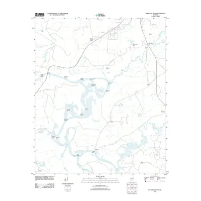
2011 Map of Aliceville South
USGS Topo · Published 2011About this map
The Tombigbee River snakes through the heart of this Pickens County landscape, defining the local geography with a complex system of shoals, bars, and landings. Historically significant river access points like Cuba Landing and Windhams Landing reflect a long-standing reliance on the waterway for transportation and commerce. The river is bordered by various features including Catfish Shoals and Hancock Shoals, indicating the challenging river navigation of the era.
Find a feature on this map
59 named features on this map. Tap any name to fly to it.
Don’t see what you’re looking for? This feature index may not catch every label — zoom into the map to look around manually.
Map Details
Editions of this 2011 Aliceville South Map
This is the sole edition of this map. No revisions or reprints were ever made.
Other maps of this area

1953 · Meridian
USGS Topo · 1:250,000

1953 · West Point
USGS Topo · 1:250,000

1957 · Meridian
USGS Topo · 1:250,000

1958 · West Point
USGS Topo · 1:250,000

1963 · West Point
USGS Topo · 1:250,000

1965 · Meridian
USGS Topo · 1:250,000

1970 · Aliceville North
USGS Topo · 1:24,000
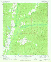
1970 · Cunningham
USGS Topo · 1:24,000
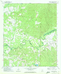
1970 · Pleasant Ridge
USGS Topo · 1:24,000
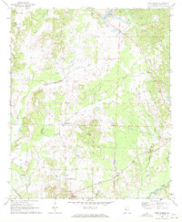
1970 · West Greene
USGS Topo · 1:24,000