2000s (21st Century) Maps of Shelby County, Alabama
Explore 120 historic maps of Shelby County from the 2000s (21st Century). These maps offer a rare glimpse into what life looked like during the 2000s — showing old roads, neighborhoods, homes, and landmarks that have changed or disappeared over time.
Whether you're researching your family's past, planning a metal detecting trip, or studying how Shelby County's landscape evolved across the 2000s, these high-resolution maps are a powerful tool for exploring the history of this region.
- Focus on a specific era: All maps on this page are from the 2000s, giving you a focused view of this time period.
- See what’s changed: Compare century-old streets, trails, and buildings to today's modern landscape using overlays and satellite layers.
- Research with precision: Use these maps for genealogy, historical research, land use analysis, or educational projects.
- View, download, or print: Maps are fully viewable online in high resolution, and can be downloaded or printed for your own records.
Start exploring Shelby County's history through authentic maps from the 2000s. This is your window into the past.
Shelby County, AL maps
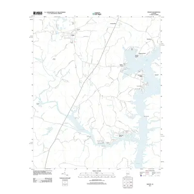
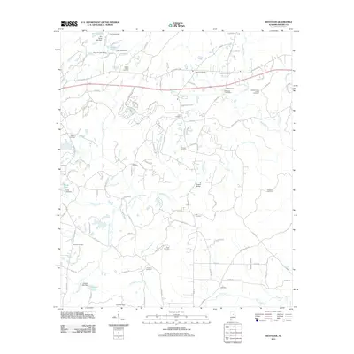
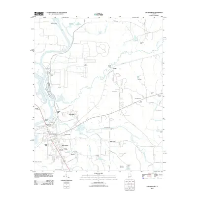
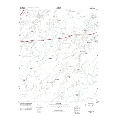
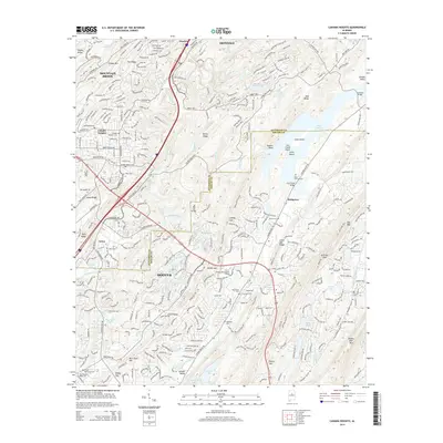
(120)- 2011 Map of Montevallo, 2011 Print
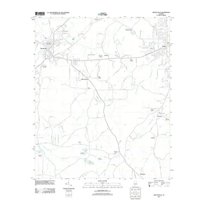 2011 Montevallo2011 Print · USGSCovers Shelby County, including Calera, Montevallo, and other nearby areas
 - 2011 Map of Bounds Lake, 2011 Print
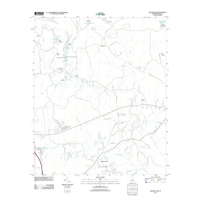 2011 Bounds Lake2011 Print · USGSCovers Shelby County, including Alabaster, Calera, and other nearby areas
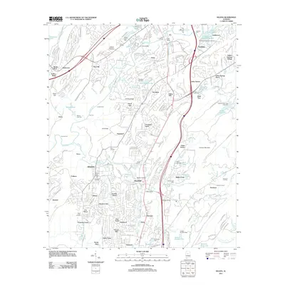
 - 2011 Map of Aldrich, 2011 Print
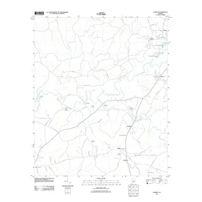 2011 Aldrich2011 Print · USGSCovers Shelby County, including Montevallo, Wilton, and other nearby areas
 - 2011 Map of Ozan, 2011 Print
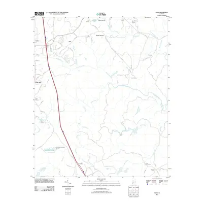 2011 Ozan2011 Print · USGSCovers Shelby County, including Calera, Jemison, and other nearby areas
 - 2011 Map of Alabaster, 2011 Print
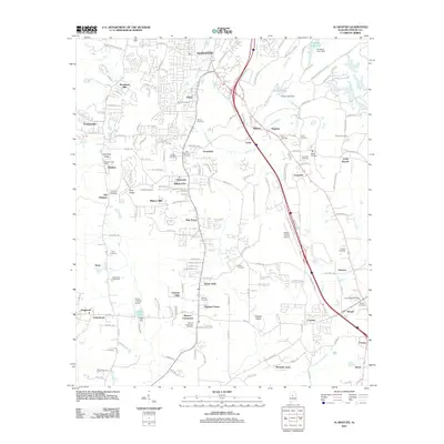 2011 Alabaster2011 Print · USGSCovers Shelby County, including Alabaster, Pelham, and other nearby areas
 - 2011 Map of Laniers, 2011 Print
 2011 Laniers2011 Print · USGSCovers Shelby County, including Pell City, Vincent, and other nearby areas
 - 2011 Map of Vandiver, 2011 Print
 2011 Vandiver2011 Print · USGSCovers Shelby County, including Birmingham, Hoover, and other nearby areas
 - 2011 Map of Pea Ridge, 2011 Print
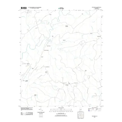 2011 Pea Ridge2011 Print · USGSCovers Shelby County, including Alabaster, Helena, and other nearby areas
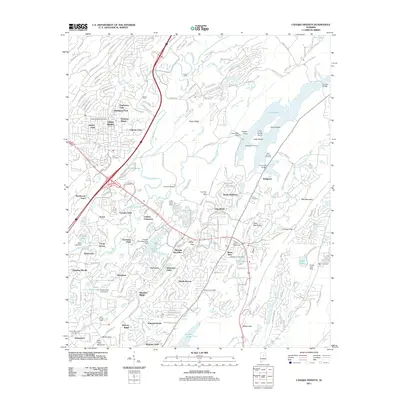
 - 2011 Map of Cahaba Heights, 2011 Print
 2011 Cahaba Heights2011 Print · USGSCovers Shelby County, including Birmingham, Hoover, and other nearby areas
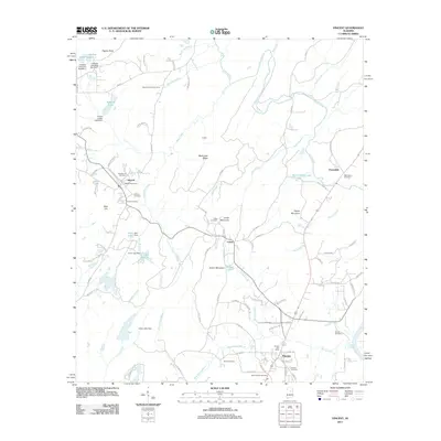
 - 2011 Map of Shelby, 2011 Print
 2011 Shelby2011 Print · USGSCovers Shelby County, including Shelby, Dogwood Point, and other nearby areas
 - 2011 Map of Cooks Springs, 2011 Print
 2011 Cooks Springs2011 Print · USGSCovers Shelby County, including Moody, Leeds, and other nearby areas
 - 2011 Map of Wilsonville, 2011 Print
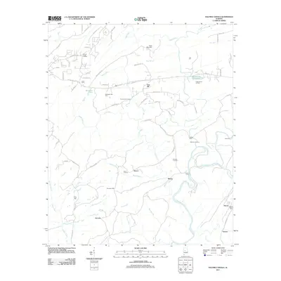
 2011 Wilsonville2011 Print · USGSCovers Shelby County, including Wilsonville, Fayetteville, and other nearby areas
 - 2011 Map of Westover, 2011 Print
 2011 Westover2011 Print · USGSCovers Shelby County, including Chelsea, Westover, and other nearby areas
 - 2011 Map of Halfmile Shoals, 2011 Print
 2011 Halfmile Shoals2011 Print · USGSCovers Shelby County, including Woodstock, West Blocton, and other nearby areas
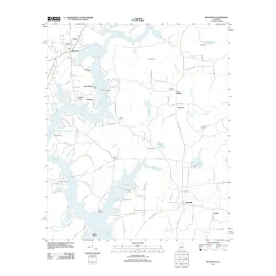
 - 2011 Map of Harpersville, 2011 Print
 2011 Harpersville2011 Print · USGSCovers Shelby County, including Childersburg, Vincent, and other nearby areas
 - 2011 Map of Birmingham South, 2011 Print
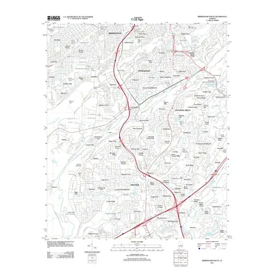 2011 Birmingham South2011 Print · USGSCovers Shelby County, including Birmingham, Hoover, and other nearby areas
 - 2011 Map of Childersburg, 2011 Print
 2011 Childersburg2011 Print · USGSCovers Shelby County, including Childersburg, Vincent, and other nearby areas
 - 2011 Map of Helena, 2011 Print
 2011 Helena2011 Print · USGSCovers Shelby County, including Hoover, Alabaster, and other nearby areas
 - 2011 Map of Vincent, 2011 Print
 2011 Vincent2011 Print · USGSCovers Shelby County, including Vincent, Westover, and other nearby areas
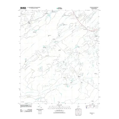
 - 2011 Map of Talladega Springs, 2011 Print
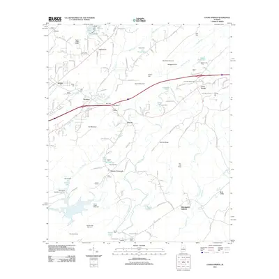
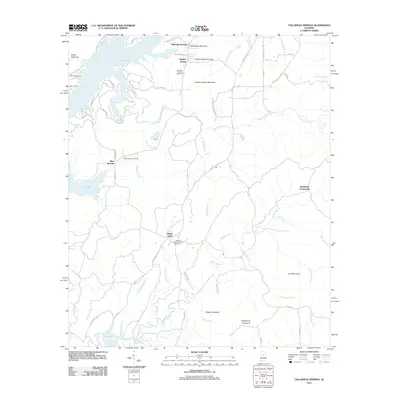 2011 Talladega Springs2011 Print · USGSCovers Shelby County, including Talladega Springs, Blue Springs, and other nearby areas
 - 2011 Map of Greenwood, 2011 Print
 2011 Greenwood2011 Print · USGSCovers Shelby County, including Hoover, Bessemer, and other nearby areas
 - 2011 Map of Leeds, 2011 Print
 2011 Leeds2011 Print · USGSCovers Shelby County, including Birmingham, Trussville, and other nearby areas
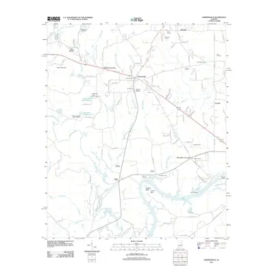
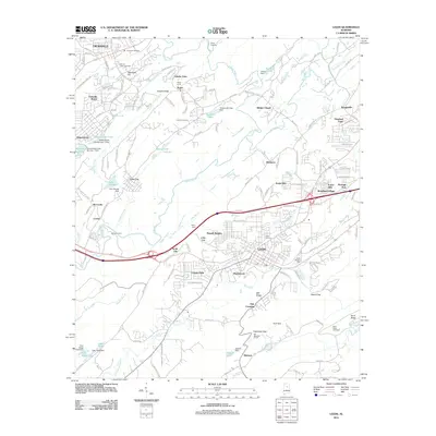
 - 2011 Map of Columbiana, 2011 Print
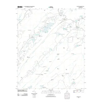
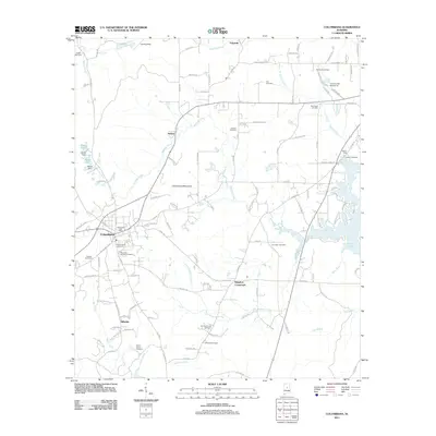 2011 Columbiana2011 Print · USGSCovers Shelby County, including Chelsea, Columbiana, and other nearby areas
 - 2011 Map of Chelsea, 2011 Print
 2011 Chelsea2011 Print · USGSCovers Shelby County, including Pelham, Chelsea, and other nearby areas
 - 2014 Map of Cahaba Heights, 2014 Print
 2014 Cahaba Heights2014 Print · USGSCovers Shelby County, including Birmingham, Hoover, and other nearby areas
Showing maps 1-25 of 120
Top cities of Shelby County
- Alabaster historical maps
- Pelham historical maps
- Helena historical maps
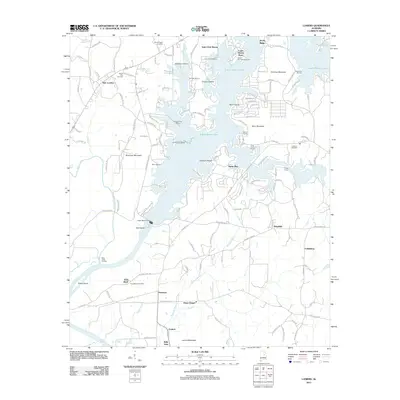
- Calera historical maps
- Chelsea historical maps
- Meadowbrook historical maps
See more
Frequently asked questions
- What are the different types of historical maps available for Shelby County?
- What is the oldest map of Shelby County?
- Where can I purchase historical maps of Shelby County for my home or office?
- Where can I download high-res historical maps of Shelby County?
- Are there historical topographic maps available for Shelby County?
- Is there historical aerial imagery available for Shelby County?
- Where are historical maps of Shelby County sourced from?