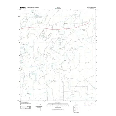
2011 Map of Westover
USGS Topo · Published 2011About this map
Westover serves as the primary hub of this Shelby County landscape, where the Westover Post Office and Westover Junction anchor the local road network. The area is defined by its numerous small water bodies and rural institutions, including Camp Kanawahala and the Hargis Christian Retreat, situated near Hargis Lake. This 2011 survey reveals a high density of family and community burial grounds, such as Union Cemetery, Walton Cemetery, and Prospect Cemetery, which provide vital touchpoints for local genealogists tracing long-standing residents near the banks of Yellowleaf Creek and its many prongs. To the south, the terrain opens up toward Fourmile Creek and the Florence Cemetery, while landmarks like the Teague Bridge and Purdy Lake Dam illustrate the managed water resources and infrastructure connecting the residential corridors of Days Crossroads.
Find a feature on this map
111 named features on this map. Tap any name to fly to it.
Don’t see what you’re looking for? This feature index may not catch every label — zoom into the map to look around manually.
Map Details
Editions of this 2011 Westover Map
This is the sole edition of this map. No revisions or reprints were ever made.
Other maps of this area

1890 · Bessemer
USGS Topo · 1:125,000

1890 · Talladega
USGS Topo · 1:125,000

1892 · Talladega
USGS Topo · 1:125,000

1892 · Bessemer
USGS Topo · 1:125,000

1906 · Vandiver
USGS Topo · 1:62,500

1908 · Vandiver
USGS Topo · 1:62,500

1909 · Columbiana
USGS Topo · 1:62,500

1911 · Columbiana
USGS Topo · 1:62,500

1915 · Gantts Quarry
USGS Topo · 1:48,000

1917 · Gantts Quarry
USGS Topo · 1:62,500