2000s (21st Century) Maps of Anchorage, Alaska
Explore 124 historic maps of Anchorage from the 2000s (21st Century). These maps offer a rare glimpse into what life looked like during the 2000s — showing old roads, neighborhoods, homes, and landmarks that have changed or disappeared over time.
Whether you're researching your family's past, planning a metal detecting trip, or studying how Anchorage's landscape evolved across the 2000s, these high-resolution maps are a powerful tool for exploring the history of this region.
- Focus on a specific era: All maps on this page are from the 2000s, giving you a focused view of this time period.
- See what’s changed: Compare century-old streets, trails, and buildings to today's modern landscape using overlays and satellite layers.
- Research with precision: Use these maps for genealogy, historical research, land use analysis, or educational projects.
- View, download, or print: Maps are fully viewable online in high resolution, and can be downloaded or printed for your own records.
Start exploring Anchorage's history through authentic maps from the 2000s. This is your window into the past.
Anchorage, AK maps
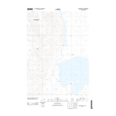
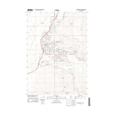
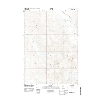
(124)- 2013 Map of Anchorage B-6 SW, 2013 Print
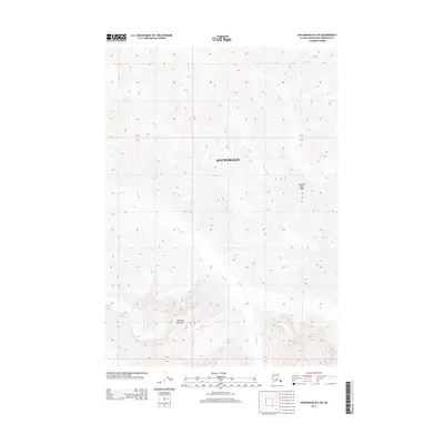 2013 Anchorage B-6 SW2013 Print · USGSCovers Anchorage, including United States, Alaska, and other nearby areas
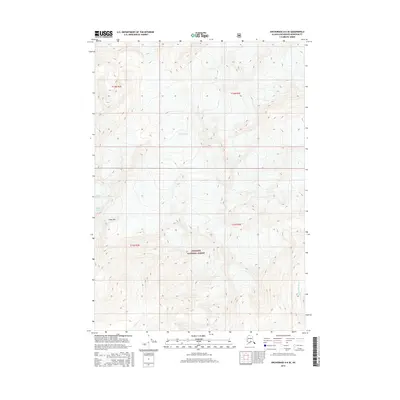
 - 2013 Map of Anchorage B-4 SW, 2013 Print
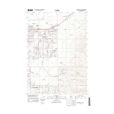
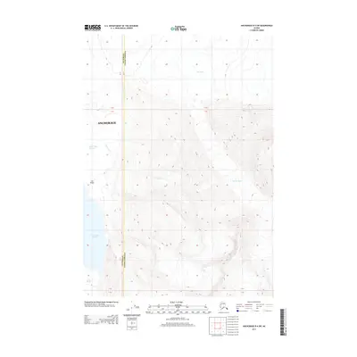 2013 Anchorage B-4 SW2013 Print · USGSCovers Anchorage, including Unorganized Borough, United States, and other nearby areas
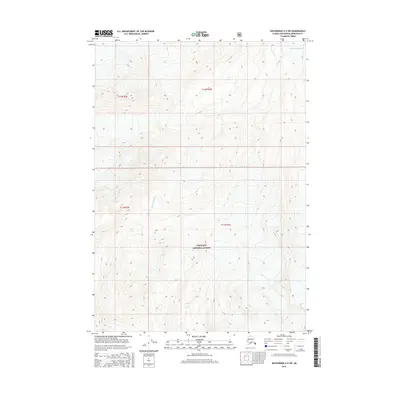
 - 2013 Map of Anchorage B-7 SE, 2013 Print
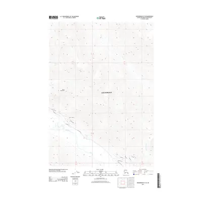 2013 Anchorage B-7 SE2013 Print · USGSCovers Anchorage, including United States, Alaska, and other nearby areas
 - 2013 Map of Anchorage B-6 SE, 2013 Print
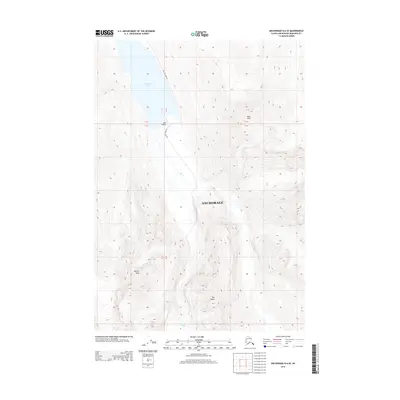 2013 Anchorage B-6 SE2013 Print · USGSCovers Anchorage, including United States, Alaska, and other nearby areas
 - 2013 Map of Anchorage B-5 NW, 2013 Print
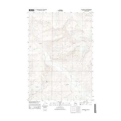
 2013 Anchorage B-5 NW2013 Print · USGSCovers Anchorage, including Matanuska-Susitna, United States, and other nearby areas
 - 2013 Map of Anchorage B-5 SW, 2013 Print
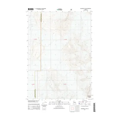
 2013 Anchorage B-5 SW2013 Print · USGSCovers Anchorage, including United States, Alaska, and other nearby areas
 - 2013 Map of Anchorage B-6 NE, 2013 Print
 2013 Anchorage B-6 NE2013 Print · USGSCovers Anchorage, including Matanuska-Susitna, United States, and other nearby areas
 - 2013 Map of Anchorage B-4 NW, 2013 Print
 2013 Anchorage B-4 NW2013 Print · USGSCovers Anchorage, including Matanuska-Susitna, Unorganized Borough, and other nearby areas
 - 2013 Map of Anchorage B-5 SE, 2013 Print
 2013 Anchorage B-5 SE2013 Print · USGSCovers Anchorage, including United States, Alaska, and other nearby areas
 - 2013 Map of Anchorage B-5 NE, 2013 Print
 2013 Anchorage B-5 NE2013 Print · USGSCovers Anchorage, including Matanuska-Susitna, United States, and other nearby areas
 - 2013 Map of Tyonek A-2 NE, 2013 Print
 2013 Tyonek A-2 NE2013 Print · USGSThe coastal waters of the Cook Inlet region appear in this early twenty-first-century survey where three major borough boundaries converge. Researchers can trace the shifting geography of the Susitna Flats and the maritime hazards of the Fire Island Shoal.
 - 2013 Map of Tyonek A-1 NW, 2013 Print
 2013 Tyonek A-1 NW2013 Print · USGSCoastal waters near the city in the early twenty-first century reveal the intersection of three major boroughs. Map collectors can trace the maritime geography of Cook Inlet and examine the terrain of Fire Island near Race Point.
 - 2015 Map of Anchorage A-8 NE, 2015 Print
 2015 Anchorage A-8 NE2015 Print · USGSCovers Anchorage, including United States, Alaska, and other nearby areas
 - 2015 Map of Anchorage B-8 SW, 2015 Print
 2015 Anchorage B-8 SW2015 Print · USGSCovers Anchorage, including Point MacKenzie, Tuomi, and other nearby areas
 - 2015 Map of Anchorage A-6 NW, 2015 Print
 2015 Anchorage A-6 NW2015 Print · USGSCovers Anchorage, including United States, Alaska, and other nearby areas
 - 2015 Map of Anchorage A-5 NW, 2015 Print
 2015 Anchorage A-5 NW2015 Print · USGSCovers Anchorage, including United States, Alaska, and other nearby areas
 - 2015 Map of Anchorage A-4 NW, 2015 Print
 2015 Anchorage A-4 NW2015 Print · USGSCovers Anchorage, including Unorganized Borough, United States, and other nearby areas
 - 2015 Map of Anchorage B-7 SW, 2015 Print
 2015 Anchorage B-7 SW2015 Print · USGSCovers Anchorage, including Chugiak, United States, and other nearby areas
 - 2015 Map of Anchorage A-5 NE, 2015 Print
 2015 Anchorage A-5 NE2015 Print · USGSCovers Anchorage, including United States, Alaska, and other nearby areas
 - 2015 Map of Anchorage A-7 NW, 2015 Print
 2015 Anchorage A-7 NW2015 Print · USGSCovers Anchorage, including United States, Alaska, and other nearby areas
 - 2015 Map of Anchorage A-6 NE, 2015 Print
 2015 Anchorage A-6 NE2015 Print · USGSCovers Anchorage, including United States, Alaska, and other nearby areas
 - 2015 Map of Anchorage B-8 SE, 2015 Print
 2015 Anchorage B-8 SE2015 Print · USGSCovers Anchorage, including Matanuska-Susitna, United States, and other nearby areas
 - 2015 Map of Anchorage A-7 NE, 2015 Print
 2015 Anchorage A-7 NE2015 Print · USGSCovers Anchorage, including United States, Alaska, and other nearby areas
 - 2016 Map of Anchorage A-6 SE, 2016 Print
 2016 Anchorage A-6 SE2016 Print · USGSCovers Anchorage, including United States, Alaska, and other nearby areas
 - 2016 Map of Anchorage A-5 SW, 2016 Print
 2016 Anchorage A-5 SW2016 Print · USGSCovers Anchorage, including United States, Alaska, and other nearby areas
Showing maps 1-25 of 124
Top cities of Anchorage
Frequently asked questions
- What are the different types of historical maps available for Anchorage?
- What is the oldest map of Anchorage?
- Where can I purchase historical maps of Anchorage for my home or office?
- Where can I download high-res historical maps of Anchorage?
- Are there historical topographic maps available for Anchorage?
- Is there historical aerial imagery available for Anchorage?
- Where are historical maps of Anchorage sourced from?