2020s Maps of Anchorage, Alaska
Explore 68 historic maps of Anchorage from the 2020s. These maps offer a rare glimpse into what life looked like during the 2020s — showing old roads, neighborhoods, homes, and landmarks that have changed or disappeared over time.
Whether you're researching your family's past, planning a metal detecting trip, or studying how Anchorage's landscape evolved across the 2020s, these high-resolution maps are a powerful tool for exploring the history of this region.
- Focus on a specific era: All maps on this page are from the 2020s, giving you a focused view of this time period.
- See what’s changed: Compare century-old streets, trails, and buildings to today's modern landscape using overlays and satellite layers.
- Research with precision: Use these maps for genealogy, historical research, land use analysis, or educational projects.
- View, download, or print: Maps are fully viewable online in high resolution, and can be downloaded or printed for your own records.
Start exploring Anchorage's history through authentic maps from the 2020s. This is your window into the past.
Anchorage, AK maps
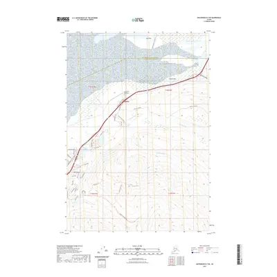
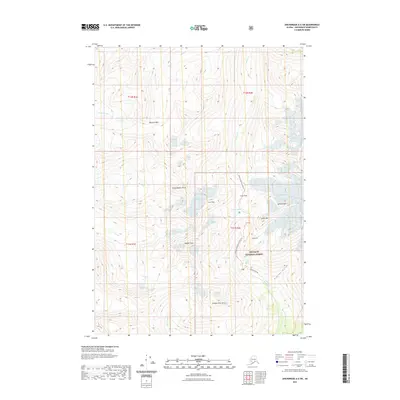
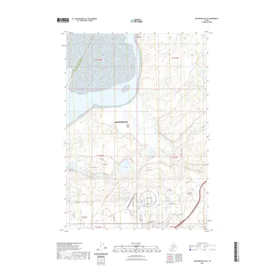
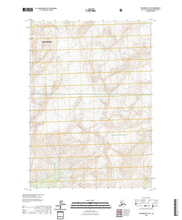
(68)- 2021 Map of Anchorage A-6 SE, 2021 Print
 2021 Anchorage A-6 SE2021 Print · USGSCovers Anchorage, including United States, Alaska, and other nearby areas
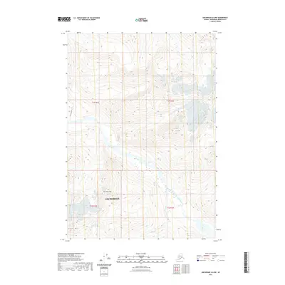
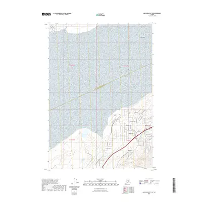
 - 2021 Map of Anchorage B-6 SE, 2021 Print
 2021 Anchorage B-6 SE2021 Print · USGSCovers Anchorage, including United States, Alaska, and other nearby areas
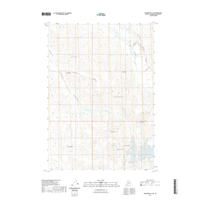
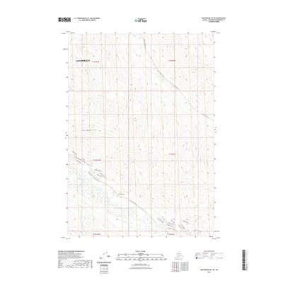
 - 2021 Map of Anchorage A-7 NW, 2021 Print
 2021 Anchorage A-7 NW2021 Print · USGSCovers Anchorage, including United States, Alaska, and other nearby areas
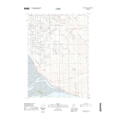
 - 2021 Map of Anchorage A-7 SW, 2021 Print
 2021 Anchorage A-7 SW2021 Print · USGSCovers Anchorage, including United States, Alaska, and other nearby areas
 - 2021 Map of Anchorage B-7 NE, 2021 Print
 2021 Anchorage B-7 NE2021 Print · USGSCovers Anchorage, including Eklutna, Chugiak, and other nearby areas
 - 2021 Map of Anchorage A-6 NW, 2021 Print
 2021 Anchorage A-6 NW2021 Print · USGSCovers Anchorage, including United States, Alaska, and other nearby areas
 - 2021 Map of Anchorage A-7 NE, 2021 Print
 2021 Anchorage A-7 NE2021 Print · USGSCovers Anchorage, including United States, Alaska, and other nearby areas
 - 2021 Map of Anchorage B-7 SW, 2021 Print
 2021 Anchorage B-7 SW2021 Print · USGSCovers Anchorage, including Chugiak, United States, and other nearby areas
 - 2021 Map of Anchorage A-6 SW, 2021 Print
 2021 Anchorage A-6 SW2021 Print · USGSCovers Anchorage, including United States, Alaska, and other nearby areas
 - 2021 Map of Anchorage B-7 NW, 2021 Print
 2021 Anchorage B-7 NW2021 Print · USGSCovers Anchorage, including Birchwood, Chugiak, and other nearby areas
 - 2021 Map of Anchorage B-8 SW, 2021 Print
 2021 Anchorage B-8 SW2021 Print · USGSCovers Anchorage, including Point MacKenzie, Tuomi, and other nearby areas
 - 2021 Map of Anchorage B-6 NW, 2021 Print
 2021 Anchorage B-6 NW2021 Print · USGSCovers Anchorage, including Matanuska-Susitna, United States, and other nearby areas
 - 2021 Map of Anchorage B-7 SE, 2021 Print
 2021 Anchorage B-7 SE2021 Print · USGSCovers Anchorage, including United States, Alaska, and other nearby areas
 - 2021 Map of Anchorage A-8 SE, 2021 Print
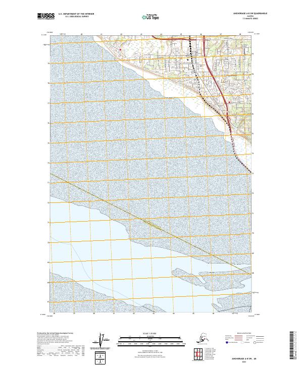
 2021 Anchorage A-8 SE2021 Print · USGSCovers Anchorage, including Kenai Peninsula, United States, and other nearby areas
 - 2021 Map of Anchorage B-8 SE, 2021 Print
 2021 Anchorage B-8 SE2021 Print · USGSCovers Anchorage, including Matanuska-Susitna, United States, and other nearby areas
 - 2021 Map of Anchorage A-8 NE, 2021 Print
 2021 Anchorage A-8 NE2021 Print · USGSCovers Anchorage, including United States, Alaska, and other nearby areas
 - 2021 Map of Anchorage B-6 NE, 2021 Print
 2021 Anchorage B-6 NE2021 Print · USGSCovers Anchorage, including Matanuska-Susitna, United States, and other nearby areas
 - 2021 Map of Anchorage A-8 SW, 2021 Print
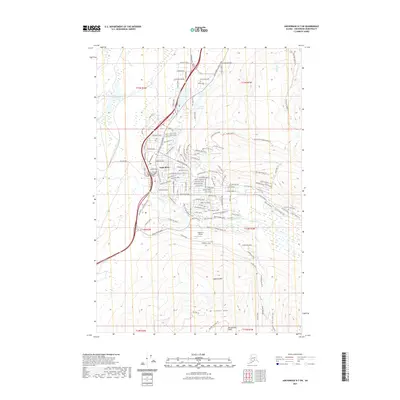
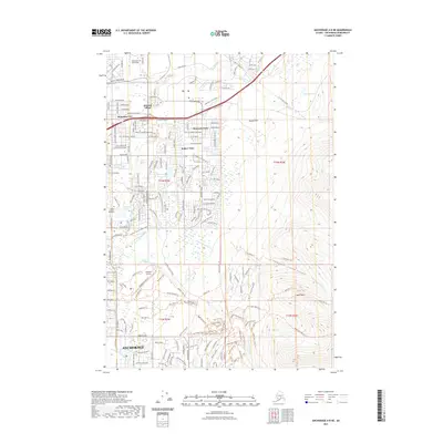
 2021 Anchorage A-8 SW2021 Print · USGSCoastal Anchorage in the twenty-first century reveals a dense network of suburban development and aviation history. Trace local infrastructure from the Angelus Memorial Park to the runways at Flying Crown Airport and Sky Harbor Airport.
 - 2023 Map of Seward D-5 NE, 2023 Print
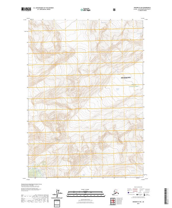 2023 Seward D-5 NE2023 Print · USGSThe Chugach Mountains and their massive ice fields are captured here in the early 2020s. Researchers can trace the exact footprints of the Harriman Glacier, Surprise Glacier, and the headwaters of the Upper Carmen River.
 - 2023 Map of Seward D-6 NE, 2023 Print
 2023 Seward D-6 NE2023 Print · USGSThe wilderness east of Anchorage comes into sharp focus in this recent survey of the Chugach Mountains. Outdoor historians and researchers can trace the legendary Iditarod National Historic Tr or locate peaks like Mt Alyeska and Hibbs Peak.
 - 2023 Map of Anchorage A-5 SW, 2023 Print
 2023 Anchorage A-5 SW2023 Print · USGSHigh alpine terrain within the Chugach National Forest is documented here as it appeared in the early 2020s. Hikers and cartographic collectors can trace the specific course of the Twentymile River through the heart of the Anchorage municipality.
 - 2023 Map of Anchorage A-5 SE, 2023 Print
 2023 Anchorage A-5 SE2023 Print · USGSThe high alpine country of the Anchorage municipality is captured here in the early 2020s. Hikers and researchers can trace the detailed contours of Chugach National Forest and the vast ice fields of Stairway Glacier and Surprise Glacier.
 - 2023 Map of Seward D-5 NW, 2023 Print
 2023 Seward D-5 NW2023 Print · USGSThe wilderness of the Chugach Range within Anchorage is documented here as it appeared in recent years. Researchers can trace the pristine drainage systems of Twentymile River, Glacier River, and the secluded waters of Carmen Lake.
 - 2023 Map of Anchorage A-6 SE, 2023 Print
 2023 Anchorage A-6 SE2023 Print · USGSAnchorage's high glacial wilderness is documented here in the early 2020s, showing the ice fields and remote drainage basins east of the city. You can trace the route of the Eagle Glacier Crow Pass Tr past Raven Glacier and Milk Glacier.
 - 2023 Map of Anchorage A-5 NW, 2023 Print
 2023 Anchorage A-5 NW2023 Print · USGSThe municipal boundaries of Anchorage meet the high backcountry in the 2020s, revealing a landscape defined by glacial waters. Researchers can trace the drainage of Lake George and the course of the Lake Fork Knik River through this terrain.
Showing maps 1-25 of 68
Top cities of Anchorage
Frequently asked questions
- What are the different types of historical maps available for Anchorage?
- What is the oldest map of Anchorage?
- Where can I purchase historical maps of Anchorage for my home or office?
- Where can I download high-res historical maps of Anchorage?
- Are there historical topographic maps available for Anchorage?
- Is there historical aerial imagery available for Anchorage?
- Where are historical maps of Anchorage sourced from?