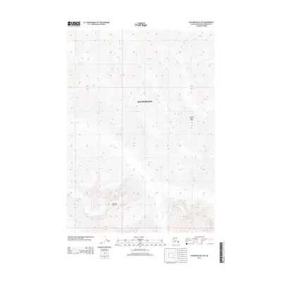
2013 Map of Anchorage B-6 SW
USGS Topo · Published 2013About this map
Peeking Mountain and Thunder Bird Peak dominate this 2013 survey of the Chugach Mountains interior, documenting a landscape defined by extreme vertical relief and glacial drainages. This high-elevation sector within the Anchorage municipality lacks any permanent roads or settlements, revealing instead the raw topography of the Alaskan wilderness. The map traces the upper reaches of Peters Cr as it carves through deep valleys, joined by the headwaters of Thunder Bird Cr. For the cartographic researcher or explorer, the sheet provides a precise look at the contour-rich transition between these prominent summits, where the elevation often shifts thousands of feet within a single section. It serves as a clear record of the area's natural state before the potential impact of long-term climate changes on its subarctic drainage patterns.
Find a feature on this map
5 named features on this map. Tap any name to fly to it.
Don’t see what you’re looking for? This feature index may not catch every label — zoom into the map to look around manually.
Map Details
Editions of this 2013 Anchorage B-6 SW Map
This is the sole edition of this map. No revisions or reprints were ever made.
Other maps of this area

1951 · Anchorage
USGS Topo · 1:250,000

1960 · Anchorage A-6
USGS Topo · 1:63,360

1960 · Anchorage B-7
USGS Topo · 1:63,360

1960 · Anchorage B-6
USGS Topo · 1:63,360

1960 · Anchorage A-7
USGS Topo · 1:63,360

1962 · Anchorage
USGS Topo · 1:250,000

1979 · Anchorage B-6 NW
USGS Topo · 1:25,000
1979 · Anchorage B-7 SE
USGS Topo · 1:25,000
1979 · Anchorage B-7 NE
USGS Topo · 1:25,000

1979 · Anchorage
USGS Topo · 1:250,000