2020s Maps of Haines, Alaska
Explore 49 historic maps of Haines from the 2020s. These maps offer a rare glimpse into what life looked like during the 2020s — showing old roads, neighborhoods, homes, and landmarks that have changed or disappeared over time.
Whether you're researching your family's past, planning a metal detecting trip, or studying how Haines's landscape evolved across the 2020s, these high-resolution maps are a powerful tool for exploring the history of this region.
- Focus on a specific era: All maps on this page are from the 2020s, giving you a focused view of this time period.
- See what’s changed: Compare century-old streets, trails, and buildings to today's modern landscape using overlays and satellite layers.
- Research with precision: Use these maps for genealogy, historical research, land use analysis, or educational projects.
- View, download, or print: Maps are fully viewable online in high resolution, and can be downloaded or printed for your own records.
Start exploring Haines's history through authentic maps from the 2020s. This is your window into the past.
Haines, AK maps
(49)- 2021 Map of Atlin A-8 SE, 2021 Print
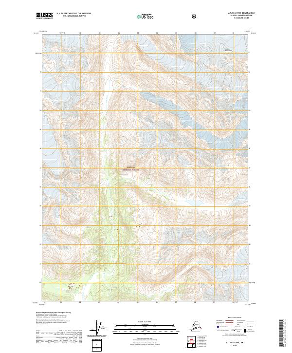
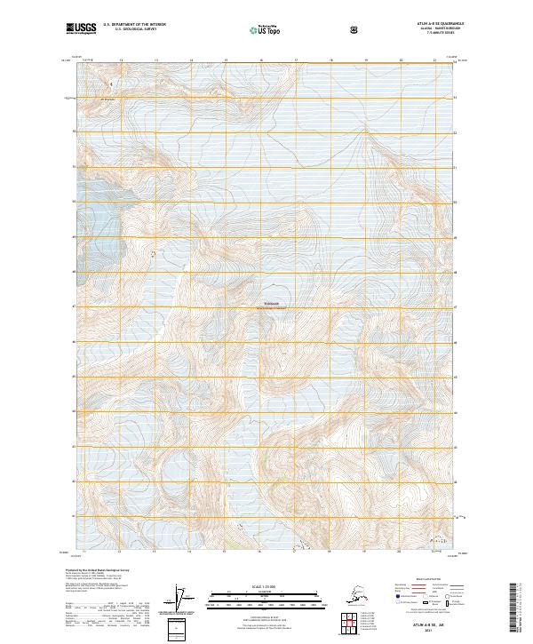 2021 Atlin A-8 SE2021 Print · USGSGlacial ice and high mountain peaks define this wilderness area within the Tongass National Forest in the early twenty-first century. Researchers can trace the modern boundaries of Dave Glacier and Field Glacier near the summit of Mt Brackett.
 - 2021 Map of Atlin A-7 SW, 2021 Print
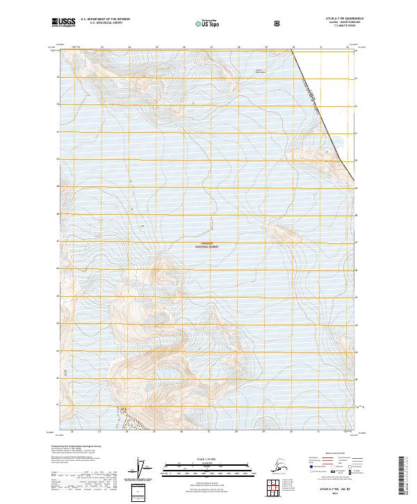 2021 Atlin A-7 SW2021 Print · USGSThe international border between Alaska and Canada is documented here in the early twenty-first century, showcasing a landscape of ice and high peaks. Researchers can trace the massive Meade Glacier and the slopes of Mt Service within the Tongass National Forest.
 - 2021 Map of Atlin A-8 NW, 2021 Print
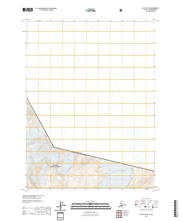
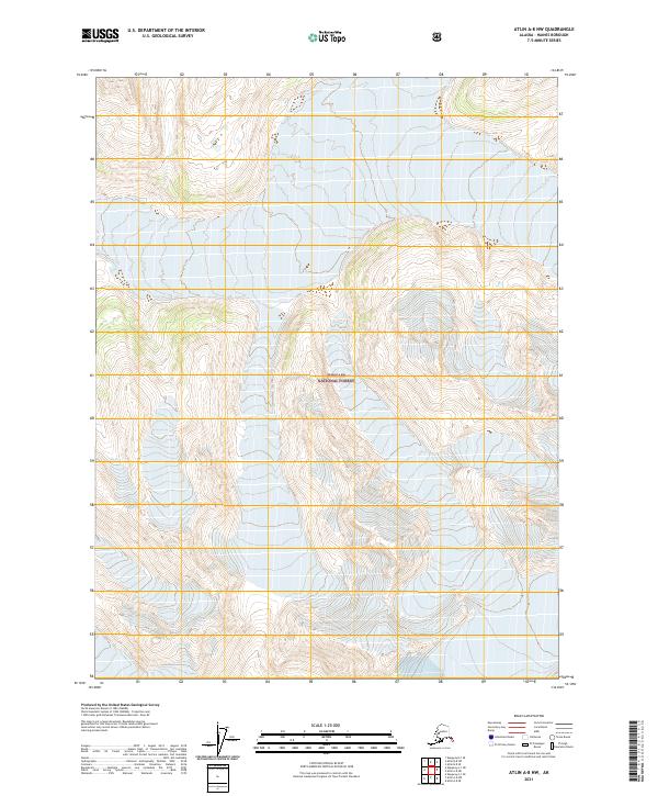 2021 Atlin A-8 NW2021 Print · USGSHaines Borough, Alaska, is presented here in the early twenty-first century as a largely roadless expanse of protected wilderness. Researchers can trace the legal boundaries of the Tongass National Forest across townships like T31s R63e and T32s R62e.
 - 2021 Map of Skagway A-1 NW, 2021 Print
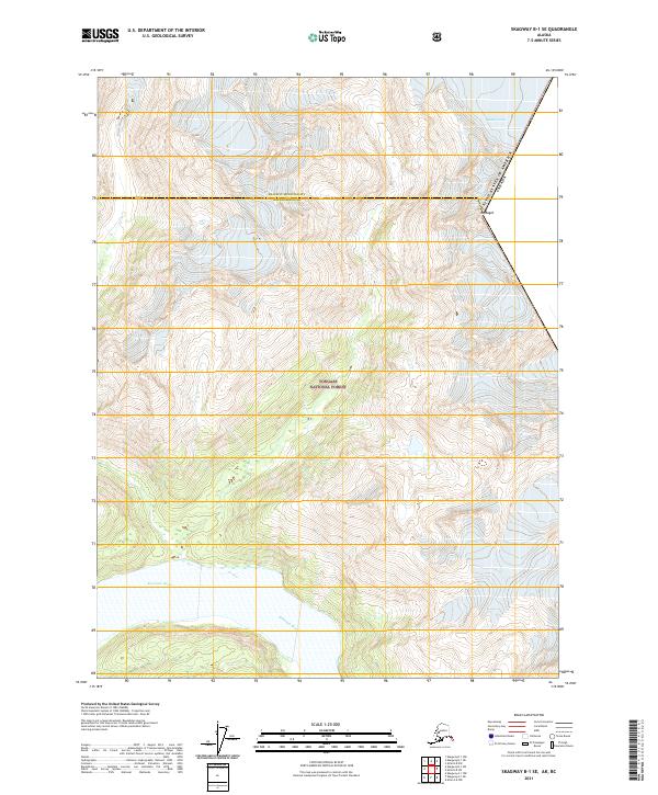
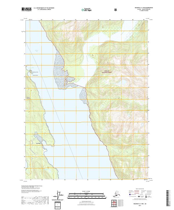 2021 Skagway A-1 NW2021 Print · USGSThe coastal wilderness south of Haines comes into sharp focus in the early 2020s, where the mountains meet the sea. Local researchers can trace the shoreline from Battery Point to Rustabach Lake and the mouth of the Katzehin River.
 - 2021 Map of Skagway B-1 SW, 2021 Print
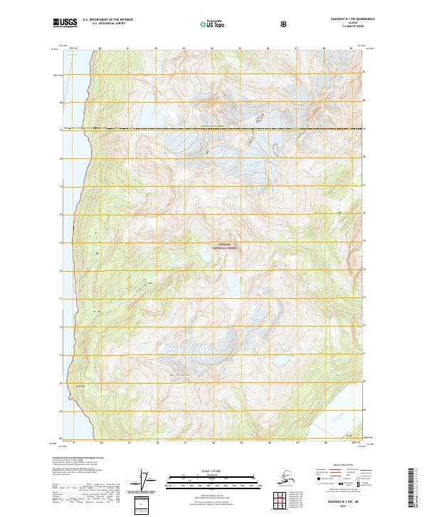 2021 Skagway B-1 SW2021 Print · USGSSoutheast Alaska's wilderness comes into focus in this recent survey of the glaciated terrain between Skagway and Haines. Researchers can trace the massive Villard Glacier, find the summit of Mt Villard, and follow the Katzehin River through the Tongass National Forest.
 - 2021 Map of Skagway A-1 NE, 2021 Print
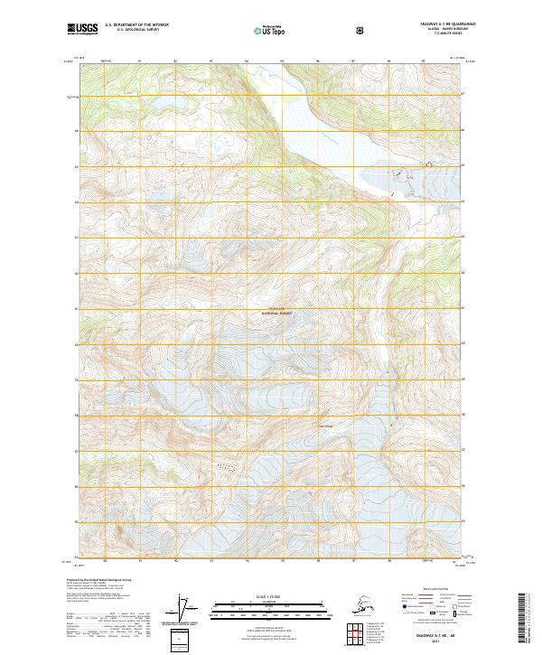 2021 Skagway A-1 NE2021 Print · USGSThe northern reaches of the Alaska Panhandle are documented in this 2021 survey of the Coast Range. Researchers can trace the glacial drainage of the Katzehin River through the protected wilderness of Tongass National Forest.
 - 2021 Map of Skagway A-2 SE, 2021 Print
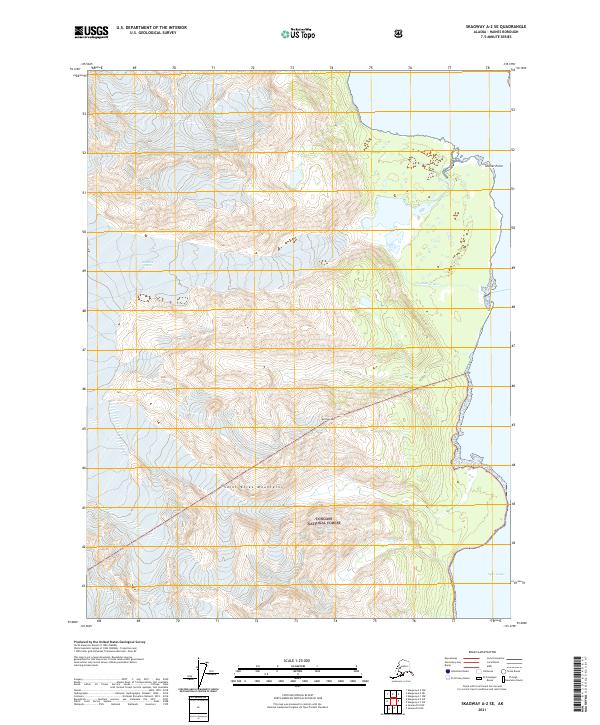 2021 Skagway A-2 SE2021 Print · USGSThe glacial coastline of Haines Borough is documented here as it appeared in the early 2020s. Researchers can trace the massive drainage of the Glacier River toward Lynn Canal and locate prominent coastal features such as Glacier Point.
 - 2021 Map of Skagway A-1 SE, 2021 Print
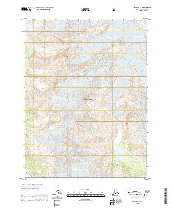 2021 Skagway A-1 SE2021 Print · USGSCoastal mountains and protected wilderness define this Haines Borough landscape in the early twenty-first century. Researchers can study the high-altitude drainages of Yellagalgau Cr and the topographic prominence of Sinclair Mtn within the Tongass National Forest.
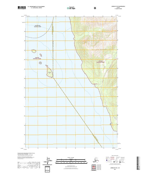
 - 2021 Map of Skagway B-1 SE, 2021 Print
 2021 Skagway B-1 SE2021 Print · USGSThe international border meets the glaciated peaks of Southeast Alaska in this 2021 study. Researchers can trace the massive Meade Glacier near Mt Bagot and the drainage of the Katzehin River through the Tongass National Forest.
 - 2021 Map of Atlin A-8 NE, 2021 Print
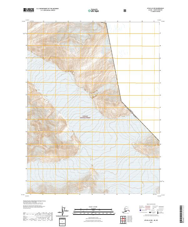 2021 Atlin A-8 NE2021 Print · USGSThe Alaska-Canada border intersects the wilderness of Haines Borough in the early twenty-first century. Researchers can trace the rugged international boundary line of the United States of America Canada near the heights of Mt Leland within the Tongass National Forest.
 - 2021 Map of Atlin B-8 SW, 2021 Print
 2021 Atlin B-8 SW2021 Print · USGSThe international boundary meets the wilderness of the Haines Borough in this recent survey. Researchers can trace the Canada United States of America border as it traverses the high peaks and deep valleys of the Tongass National Forest.
 - 2021 Map of Atlin B-8 SE, 2021 Print
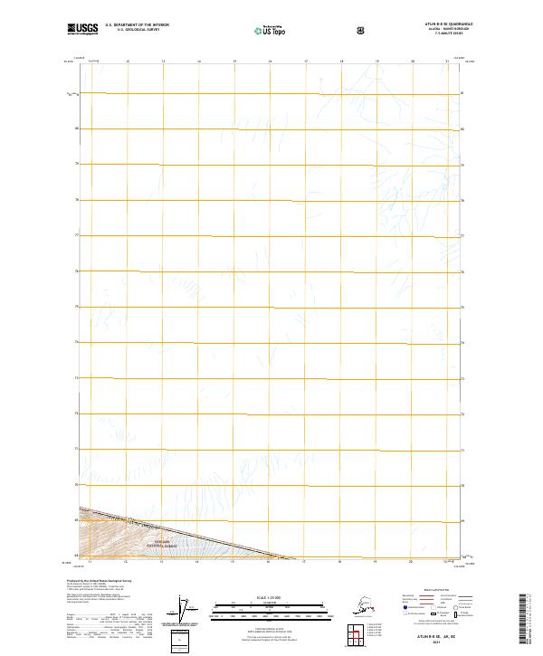 2021 Atlin B-8 SE2021 Print · USGSSoutheast Alaska meets the international border in this 2021 study of the Haines Borough high country. Researchers can trace the southern edge of the Tongass National Forest along the Canada-United States boundary.
 - 2021 Map of Atlin A-8 SW, 2021 Print
 2021 Atlin A-8 SW2021 Print · USGSThe northern reaches of the Alaska Panhandle are captured here in the early twenty-first century, showcasing a landscape of ice and river valleys. Researchers can trace the path of the Lace River and the footprint of the Davies Glacier within the Tongass National Forest.
 - 2021 Map of Juneau A-5 NE, 2021 Print
 2021 Juneau A-5 NE2021 Print · USGSThe northern shore of Chichagof Island meets the sea in the early twenty-first century. Genealogists and maritime historians can locate Icy Strait Point Cem and trace the coastal geography of Cannery Point and Point Sophia.
 - 2021 Map of Juneau B-4 NW, 2021 Print
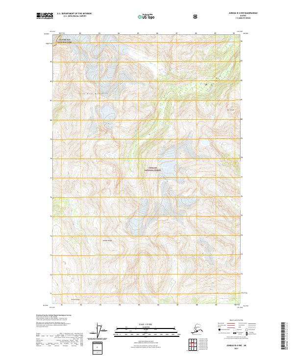 2021 Juneau B-4 NW2021 Print · USGSCoastal mountains and protected wilderness dominate this recent survey of the Haines area. Trace the boundaries between Glacier Bay National Park and the Tongass National Forest or locate peaks like Mt Golub and the Chilkat Range.
 - 2021 Map of Juneau B-5 SE, 2021 Print
 2021 Juneau B-5 SE2021 Print · USGSThe northern reaches of Icy Strait meet the wilderness of the panhandle in 2021. Researchers can trace the rugged coastal boundary of Glacier Bay National Park and follow paths like the Annx Line Trl near Homeshore.
 - 2021 Map of Juneau A-4 SE, 2021 Print
 2021 Juneau A-4 SE2021 Print · USGSChichagof Island in the early 2020s remains a landscape of deep timber and coastal inlets within the Tongass National Forest. Researchers can trace old resource markers like Hoonah Gypsum and the winding course of Iyouktug Cr into the interior.
 - 2021 Map of Juneau C-5 NW, 2021 Print
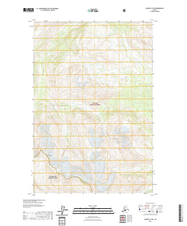
 2021 Juneau C-5 NW2021 Print · USGSThe Southeast Alaskan wilderness is captured here in the early twenty-first century at the intersection of forest and park lands. Researchers can trace the Excursion River through the Saint Elias Mountains and across the Tongass National Forest boundary.
 - 2021 Map of Juneau D-2 NW, 2021 Print
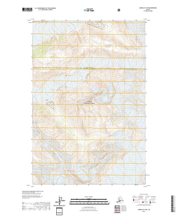 2021 Juneau D-2 NW2021 Print · USGSGlacial ice and high mountain ridges define this remote portion of the Alaska panhandle in 2021. Researchers can trace the administrative boundary of Haines Borough Juneau City and Borough and the expanse of Field Glacier.
 - 2021 Map of Juneau C-5 NE, 2021 Print
 2021 Juneau C-5 NE2021 Print · USGSThe Alaskan wilderness where Glacier Bay National Park meets the Tongass National Forest is shown here in detail. Surveyors have mapped the high summits of the Saint Elias Mountains and Yang-Webster Peak, offering a clear view of the region's ice-sculpted terrain.
 - 2021 Map of Juneau D-4 SW, 2021 Print
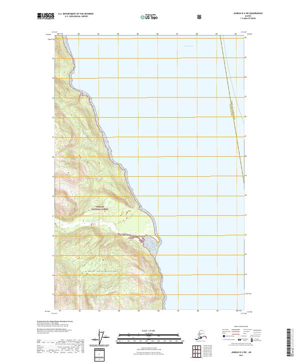 2021 Juneau D-4 SW2021 Print · USGSSoutheast Alaska's coastal wilderness is captured in the early 2020s, showing where the steep peaks of the Saint Elias Mountains descend toward the sea. Researchers can trace the path of the Endicott River through the Tongass National Forest to the shores of the Lynn Canal.
 - 2021 Map of Juneau D-3 NW, 2021 Print
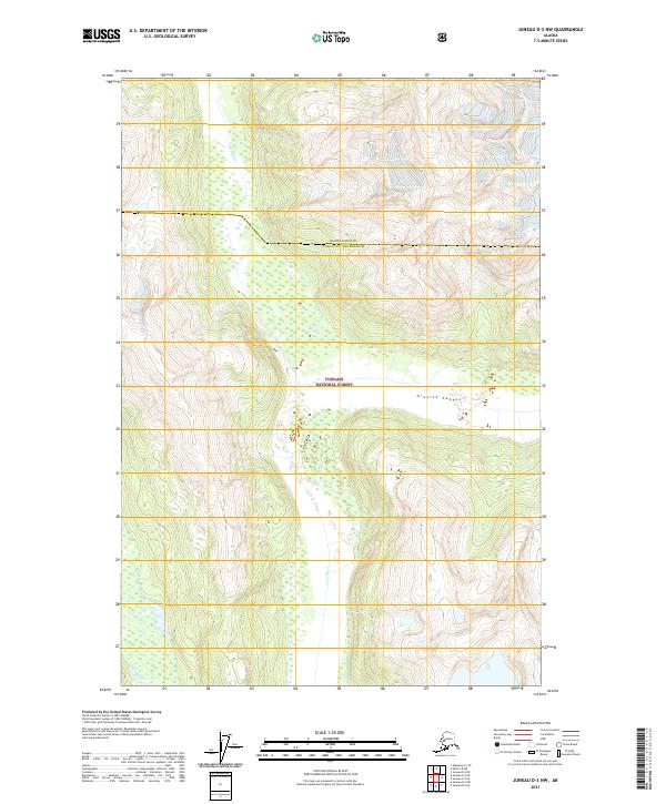 2021 Juneau D-3 NW2021 Print · USGSThe wilderness north of Juneau is captured here in the early twenty-first century, featuring the confluence of the Lace River and Berners River. Researchers can trace the steep geography of Granite Canyon and the administrative reach of the Tongass National Forest.
 - 2021 Map of Juneau D-6 SE, 2021 Print
 2021 Juneau D-6 SE2021 Print · USGSHoonah-Angoon and Haines Borough are shown during this recent survey of the high Alaskan wilderness. Researchers can trace the rugged topography of the Chilkat Range and the path of the Endicott River as it flows through Endicott Gap.
 - 2021 Map of Juneau D-4 SE, 2021 Print
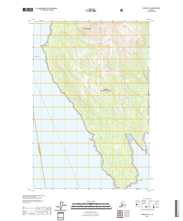 2021 Juneau D-4 SE2021 Print · USGSThe northern wilderness of the Tongass National Forest meets the coast of Berners Bay in this contemporary survey of the Juneau area. Researchers can trace industrial access via Kensington Mine Road and Jualin Mine Road or locate landmarks like Point Sherman and Sherman Rock.
 - 2021 Map of Juneau D-5 NW, 2021 Print
 2021 Juneau D-5 NW2021 Print · USGSSoutheast Alaska’s mountain wilderness is captured here in the early 2020s where federal parklands and national forests meet. Researchers can trace the massive Davidson Glacier across the Saint Elias Mountains and the peaks of the Chilkat Range.
Showing maps 1-25 of 49
Top cities of Haines
Frequently asked questions
- What are the different types of historical maps available for Haines?
- What is the oldest map of Haines?
- Where can I purchase historical maps of Haines for my home or office?
- Where can I download high-res historical maps of Haines?
- Are there historical topographic maps available for Haines?
- Is there historical aerial imagery available for Haines?
- Where are historical maps of Haines sourced from?