1960s Maps of Haines, Alaska
Explore 9 historic maps of Haines from the 1960s. These maps offer a rare glimpse into what life looked like during the 1960s — showing old roads, neighborhoods, homes, and landmarks that have changed or disappeared over time.
Whether you're researching your family's past, planning a metal detecting trip, or studying how Haines's landscape evolved across the 1960s, these high-resolution maps are a powerful tool for exploring the history of this region.
- Focus on a specific era: All maps on this page are from the 1960s, giving you a focused view of this time period.
- See what’s changed: Compare century-old streets, trails, and buildings to today's modern landscape using overlays and satellite layers.
- Research with precision: Use these maps for genealogy, historical research, land use analysis, or educational projects.
- View, download, or print: Maps are fully viewable online in high resolution, and can be downloaded or printed for your own records.
Start exploring Haines's history through authentic maps from the 1960s. This is your window into the past.
Haines, AK maps
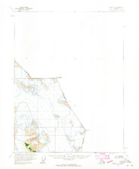
(9)- 1960 Map of Juneau D-1, 1965 Print
 1960 Juneau D-11965 Print · USGSThe Alaska-Canada borderlands near Juneau are shown in high detail during the early sixties, capturing a landscape of massive ice flows and high peaks. Traces of this frontier can be found at Mount Nesselrode, Gilkey Glacier, and the Spirit Range.2 unique versions available
 - 1960 Map of Juneau D-2, 1965 Print
 1960 Juneau D-21965 Print · USGSThe international border between Alaska and British Columbia is charted through a high-altitude glacial landscape during the mid-twentieth century. Researchers can trace the massive ice fields of Antler Glacier and Gilkey Glacier alongside markers like Boundary Peak 99.3 unique versions available
 - 1960 Map of Atlin A-8, 1965 Print
 1960 Atlin A-81965 Print · USGSThe international border near Haines is defined by massive ice fields and high peaks during the early 1960s. Researchers can trace the drainage of the Lace River and locate specific features like Mt Canning or the treacherous crevasses of the Meade Glacier.2 unique versions available
 - 1960 Map of Atlin B-8, 1965 Print
 1960 Atlin B-81965 Print · USGSThe high-altitude frontier of the Alaska Panhandle is captured here in the early 1960s, showing the border with British Columbia. Researchers can trace the Indefinite Boundary through the Tongass National Forest and locate summits like Snow Top and Boundary Peak 108.2 unique versions available
 - 1960 Map of Atlin A-7, 1965 Print
 1960 Atlin A-71965 Print · USGSThe international border between Alaska and British Columbia is traced through ice fields and peaks during the early statehood era. Researchers can locate high-altitude survey points like Boundary Peak 101 and Boundary Peak 102 or study the glacial flow around Crevasses.2 unique versions available
 - 1960 Map of Atlin, 1966 Print
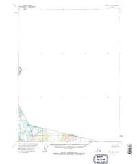
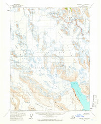
 1960 Atlin1966 Print · USGSThe northern borderlands of Alaska and British Columbia are shown here in the 1960s, documenting the remote lake systems and high mountain passes. Follow the White Pass and Yukon RR or locate historic activity at the Engineer (Site) and the town of Atlin.2 unique versions available
 - 1961 Map of Skagway A-4
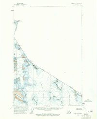
 1961 Skagway A-41961 Print · USGSGlacier Bay in the early sixties was a vast network of retreating ice and newly exposed ridges. Geologists and researchers can trace the movement of the Muir Glacier and Riggs Glacier or locate landmarks like Mount Brack and Wolf Pt.2 unique versions available
 - 1961 Map of Skagway, 1967 Print
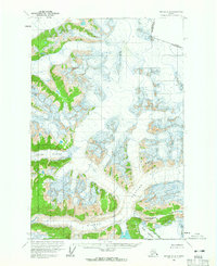
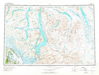
 1961 Skagway1967 Print · USGSThe northern reaches of the Panhandle and the rugged border with British Columbia come into focus in the early sixties. Researchers can trace the historic Chilkoot Trail, the White Pass and Yukon Railway, and coastal outposts like Klukwan.4 unique versions available
 - 1962 Map of Juneau, 1966 Print
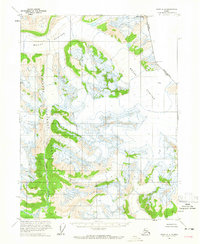
 1962 Juneau1966 Print · USGSSoutheast Alaska in the early sixties showcases a maritime landscape defined by the Tongass National Forest and the peaks of the Coast Mountains. Trace the footprints of coastal industry at Treadwell, Thane, and the regional hub of Juneau.7 unique versions available
End of results
Showing maps 1-9 of 9
Top cities of Haines
Frequently asked questions
- What are the different types of historical maps available for Haines?
- What is the oldest map of Haines?
- Where can I purchase historical maps of Haines for my home or office?
- Where can I download high-res historical maps of Haines?
- Are there historical topographic maps available for Haines?
- Is there historical aerial imagery available for Haines?
- Where are historical maps of Haines sourced from?