2000s (21st Century) Maps of Haines, Alaska
Explore 131 historic maps of Haines from the 2000s (21st Century). These maps offer a rare glimpse into what life looked like during the 2000s — showing old roads, neighborhoods, homes, and landmarks that have changed or disappeared over time.
Whether you're researching your family's past, planning a metal detecting trip, or studying how Haines's landscape evolved across the 2000s, these high-resolution maps are a powerful tool for exploring the history of this region.
- Focus on a specific era: All maps on this page are from the 2000s, giving you a focused view of this time period.
- See what’s changed: Compare century-old streets, trails, and buildings to today's modern landscape using overlays and satellite layers.
- Research with precision: Use these maps for genealogy, historical research, land use analysis, or educational projects.
- View, download, or print: Maps are fully viewable online in high resolution, and can be downloaded or printed for your own records.
Start exploring Haines's history through authentic maps from the 2000s. This is your window into the past.
Haines, AK maps
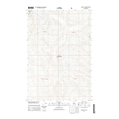
(131)- 2004 Map of Atlin A-8, 2007 Print
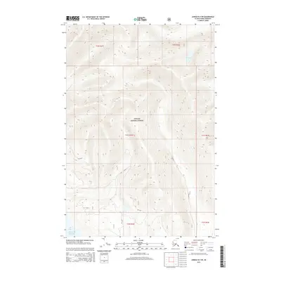
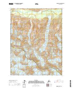
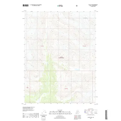
 2004 Atlin A-82007 Print · USGSThe high ice fields of the Alaska-Canada borderlands are charted here during the early 2000s. Researchers can trace the international line from Mt Canning to Mount Pullen or study the massive expanses of Meade Glacier and Ogive Glacier.
 - 2004 Map of Skagway B-1, 2007 Print
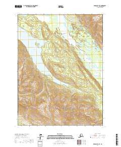
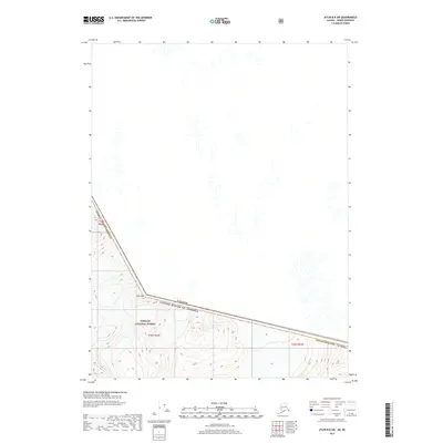
 2004 Skagway B-12007 Print · USGSSkagway and the surrounding coastal peaks are shown at a time when its gold rush legacy was preserved through federal parklands. Trace the historic White Pass and Yukon Route and find landmarks like the Gold Rush Cem and Liarsville.
 - 2004 Map of Skagway A-1, 2007 Print
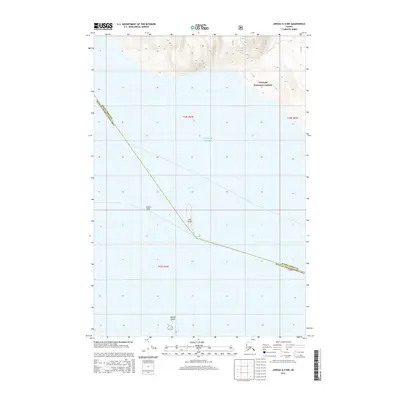
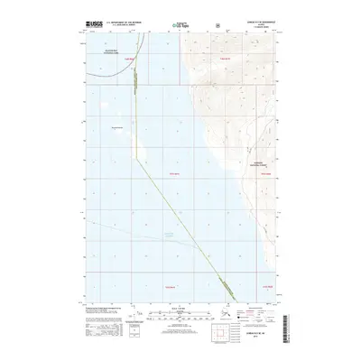
 2004 Skagway A-12007 Print · USGSThe coastal wilderness of Southeast Alaska is documented here at the start of the millennium, showing the vital maritime corridors of Lynn Canal. Researchers can trace the path of the Alaska Marine Highway and locate remote landmarks like Battery Pt Light and the Lighthouse Reserve.
 - 2004 Map of Atlin A-7, 2007 Print
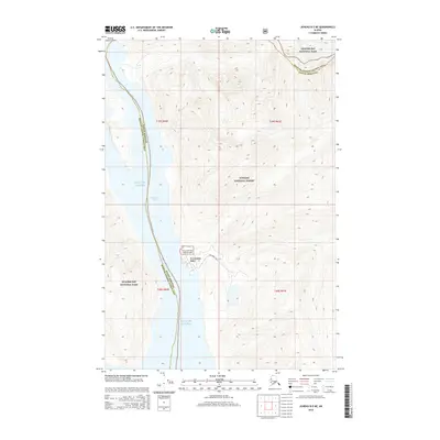
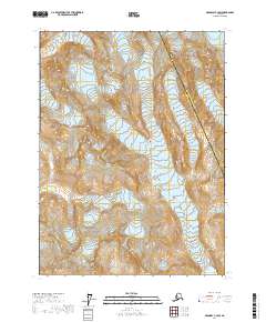
 2004 Atlin A-72007 Print · USGSHigh along the Alaska and British Columbia border at the turn of the millennium, this survey captures a remote stretch of the Tongass National Forest. Trace the international boundary across massive peaks like Mt Poletica and Mt London.
 - 2004 Map of Skagway A-2, 2007 Print
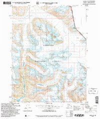
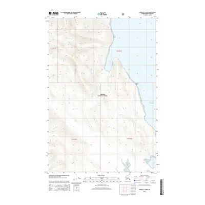
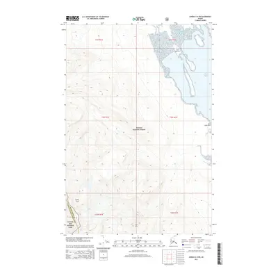
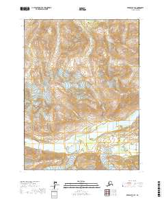
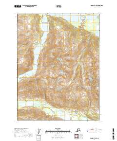
 2004 Skagway A-22007 Print · USGSHaines and the Chilkat Peninsula are shown in the mid-2000s, reflecting a landscape defined by massive glaciers and coastal maritime history. Researchers can trace the layout of Port Chilkoot, locate the Yindastuki site, and identify local landmarks like the Letnikof Cove Cannery.
 - 2015 Map of Juneau B-4 SW, 2015 Print
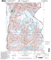
 2015 Juneau B-4 SW2015 Print · USGSCovers Haines, including Excursion Inlet, United States, and other nearby areas
 - 2015 Map of Juneau A-4 NW, 2015 Print
 2015 Juneau A-4 NW2015 Print · USGSCovers Haines, including Unorganized Borough, United States, and other nearby areas
 - 2015 Map of Juneau A-5 NE, 2015 Print
 2015 Juneau A-5 NE2015 Print · USGSCovers Haines, including Hoonah, Unorganized Borough, and other nearby areas
 - 2015 Map of Juneau C-4 NW, 2015 Print
 2015 Juneau C-4 NW2015 Print · USGSCovers Haines, including United States, Alaska, and other nearby areas
 - 2015 Map of Juneau B-5 NE, 2015 Print
 2015 Juneau B-5 NE2015 Print · USGSCovers Haines, including Excursion Inlet, Unorganized Borough, and other nearby areas
 - 2015 Map of Juneau C-4 SW, 2015 Print
 2015 Juneau C-4 SW2015 Print · USGSCovers Haines, including Unorganized Borough, United States, and other nearby areas
 - 2015 Map of Juneau B-4 NW, 2015 Print
 2015 Juneau B-4 NW2015 Print · USGSCovers Haines, including Excursion Inlet, Unorganized Borough, and other nearby areas
 - 2015 Map of Juneau B-5 SE, 2015 Print
 2015 Juneau B-5 SE2015 Print · USGSCovers Haines, including Excursion Inlet, Unorganized Borough, and other nearby areas
 - 2017 Map of Skagway B-2 SW, 2017 Print
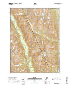
 2017 Skagway B-2 SW2017 Print · USGSThe braided waters of the Chilkat valley and the towering Takshanuk range define this corner of Southeast Alaska in the late twenty-teens. Researchers can trace the path of the Haines Highway as it winds past Vanderbilt Point and the shores of Chilkoot Lake.
 - 2017 Map of Skagway A-4 NE, 2017 Print
 2017 Skagway A-4 NE2017 Print · USGSHigh in the Alaska Panhandle during the early twenty-first century, this survey documents the wilderness where the Takhinsha Mountains meet the sea. Modern researchers can trace the protected boundaries of Glacier Bay National Park and the rugged interior of the Haines Borough Hoonah-Angoon Census Area.
 - 2017 Map of Skagway B-4 SE, 2017 Print
 2017 Skagway B-4 SE2017 Print · USGSHaines Borough and the high peaks of Southeast Alaska are captured here in the years before the recent decade's topographical updates. Researchers can trace the drainage of Porcupine Cr and McKinley Cr as they flow from Porcupine Peak toward the wide Tsirku River.
 - 2017 Map of Skagway C-2 SW, 2017 Print
 2017 Skagway C-2 SW2017 Print · USGSSoutheast Alaska’s high wilderness and glacial ice are mapped here in the late twenty-first century. Researchers can trace the municipal boundary through Ferebee Valley and locate the shifting extent of the Ferebee Glacier.
 - 2017 Map of Skagway A-2 NE, 2017 Print
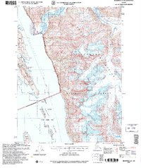
 2017 Skagway A-2 NE2017 Print · USGSThe coastal gateway of Haines and the Chilkat Peninsula are captured here in the late twenty-tens. Researchers can trace local development through the Haines Cem, Haines Airport, and landmarks like Pyramid Island and Port Chilkoot.
 - 2017 Map of Skagway A-3 NE, 2017 Print
 2017 Skagway A-3 NE2017 Print · USGSThe high alpine country of the Haines Borough is captured here in the late 2010s, showing the intersection of monumental ice fields and protected wilderness. Trace the boundaries of Glacier Bay National Park and the flow of the Bertha Glacier or Takhin River.
 - 2017 Map of Skagway B-3 SE, 2017 Print
 2017 Skagway B-3 SE2017 Print · USGSHaines Borough at the turn of the twenty-first century reveals a landscape of deep glacial lakes and river valleys. Trace the path of the Haines Highway as it bypasses Chilkat Lake and the prominent Birch Island.
 - 2017 Map of Skagway B-2 SE, 2017 Print
 2017 Skagway B-2 SE2017 Print · USGSThe coastal corridor near the Upper Lynn Canal comes into focus in this recent survey of the Southeast Alaska panhandle. Genealogists and local historians can trace the roads and shorelines connecting Haines and Tanani, from Mt Ripinski down to the waters of Lutak Inlet.
 - 2017 Map of Skagway B-3 SW, 2017 Print
 2017 Skagway B-3 SW2017 Print · USGSHaines Borough is shown in the late 2010s as a landscape of glacial rivers and high peaks. Researchers can trace the braided paths of the Tsirku River and Takhin River or locate landmarks like Mt Jonathan Ward.
 - 2017 Map of Skagway B-2 NE, 2017 Print
 2017 Skagway B-2 NE2017 Print · USGSSoutheast Alaska’s glacial valleys and high summits are documented here just before the end of the decade. Researchers can trace the path of the Ferebee River and locate the rugged heights of Mt Harding and Face Mtn.
 - 2017 Map of Atlin A-8 SW, 2017 Print
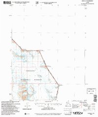
 2017 Atlin A-8 SW2017 Print · USGSCovers Haines, including United States, Alaska, and other nearby areas
 - 2017 Map of Atlin B-8 SW, 2017 Print
 2017 Atlin B-8 SW2017 Print · USGSCovers Haines, including Stikine Region, United States, and other nearby areas
Showing maps 1-25 of 131
Top cities of Haines
Frequently asked questions
- What are the different types of historical maps available for Haines?
- What is the oldest map of Haines?
- Where can I purchase historical maps of Haines for my home or office?
- Where can I download high-res historical maps of Haines?
- Are there historical topographic maps available for Haines?
- Is there historical aerial imagery available for Haines?
- Where are historical maps of Haines sourced from?