
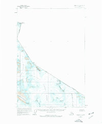
1960 Map of Juneau D-1
USGS Topo · Published 1965About this map
The Canada-United States international boundary cuts across this 1960 landscape, defining a high-altitude frontier where Alaska and British Columbia meet. This terrain is defined by massive ice fields and sharp ridges, including the vast Gilkey Glacier and Matthes Glacier. These frozen rivers are framed by distinctive landmarks like the Spirit Range and the imposing sheer face of The Wall.
Find a feature on this map
21 named features on this map. Tap any name to fly to it.
Don’t see what you’re looking for? This feature index may not catch every label — zoom into the map to look around manually.
Map Details
Editions of this 1960 Juneau D-1 Map
2 editions found
Other maps of this area

1949 · Atlin
USGS Topo · 1:250,000

1951 · Juneau
USGS Topo · 1:250,000

1951 · Atlin
USGS Topo · 1:250,000

1953 · Taku River
USGS Topo · 1:250,000

1960 · Taku River C-6
USGS Topo · 1:63,360

1960 · Juneau C-2
USGS Topo · 1:63,360

1960 · Juneau D-2
USGS Topo · 1:63,360

1960 · Juneau C-1
USGS Topo · 1:63,360
1960 · Atlin A-7
USGS Topo · 1:63,360

1960 · Taku River
USGS Topo · 1:250,000