
1960 Map of Juneau D-2
USGS Topo · Published 1965About this map
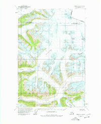
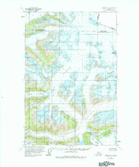
Antler Glacier and the expansive Gilkey Glacier dominate this high-latitude survey of the Boundary Ranges during the early 1960s. The map illustrates a complex glaciated landscape where the international border between Alaska and British Columbia is defined by remote summits like Boundary Peak 99 and Boundary Peak 97. This 1960 field annotation, based on 1948 photography, captures the extent of ice fields before decades of retreat, marking extensive crevasses and dramatic landforms such as Avalanche Canyon and the sheer face of The Wall. To the south, the convergence of Echo Glacier and Battle Glacier provides a clear record of the region's topography as it was understood by the International Boundary Commission and the Geological Survey at the start of the decade.
Find a feature on this map
11 named features on this map. Tap any name to fly to it.
Don’t see what you’re looking for? This feature index may not catch every label — zoom into the map to look around manually.
Map Details
Editions of this 1960 Juneau D-2 Map
3 editions found
Other maps of this area

1948 · Juneau D-3
USGS Topo · 1:63,360

1949 · Atlin
USGS Topo · 1:250,000

1949 · Juneau D-3
USGS Topo · 1:63,360

1951 · Juneau
USGS Topo · 1:250,000

1951 · Atlin
USGS Topo · 1:250,000

1951 · Juneau C-3
USGS Topo · 1:63,360

1952 · Juneau C-3
USGS Topo · 1:63,360

1953 · Juneau D-3
USGS Topo · 1:63,360

1960 · Juneau D-1
USGS Topo · 1:63,360

1960 · Juneau C-2
USGS Topo · 1:63,360