
1951 Map of Juneau C-3
USGS Topo · Published 1964About this map
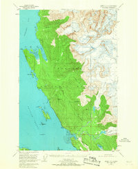
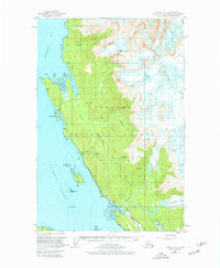
The Tongass National Forest dominates this coastal landscape north of Juneau, where the massive ice fields of Eagle Glacier and Herbert Glacier feed into a network of river systems. In the mid-century era, the region’s industrial history is evidenced by the Bessie Mine and Eagle River Mine tucked into the drainage basins near Yankee Basin. Transportation through the dense forest is limited to the primary Glacier Highway and the Montana Creek Trail, reflecting the isolation of the area's small clusters of Cabins. Along the Favorite Channel and Berners Bay, numerous maritime landmarks such as Sentinel I and Poundstone Rock mark the transition from glacial waters to the complex shoreline of Echo Cove and Bridget Cove.
Find a feature on this map
33 named features on this map. Tap any name to fly to it.
Don’t see what you’re looking for? This feature index may not catch every label — zoom into the map to look around manually.
Map Details
Editions of this 1951 Juneau C-3 Map
3 editions found
Other maps of this area

1947 · Juneau B-3
USGS Topo · 1:63,360

1947 · Juneau B-2
USGS Topo · 1:63,360

1948 · Juneau B-4
USGS Topo · 1:63,360

1948 · Juneau C-4
USGS Topo · 1:63,360

1948 · Juneau D-3
USGS Topo · 1:63,360

1949 · Juneau B-3
USGS Topo · 1:62,500

1949 · Juneau B-2
USGS Topo · 1:62,500

1949 · Juneau D-4
USGS Topo · 1:63,360

1949 · Juneau C-4
USGS Topo · 1:63,360

1949 · Juneau D-3
USGS Topo · 1:63,360