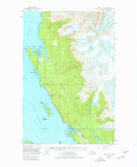
1951 Map of Juneau C-3
USGS Topo · Published 1977About this map
Tongass National Forest dominates the coastline north of Juneau in this mid-century survey, showcasing a landscape defined by glacial activity and early resource extraction. The map details the proximity of massive ice fields like Eagle Glacier and Thiel Glacier to the coastal waters of Favorite Channel and Berners Bay. For local historians, the presence of the Bessie Mine and Eagle River Mine indicates the region's mining heritage, while the Glacier Highway represents the primary terrestrial artery connecting these remote points.
Find a feature on this map
38 named features on this map. Tap any name to fly to it.
Don’t see what you’re looking for? This feature index may not catch every label — zoom into the map to look around manually.
Map Details
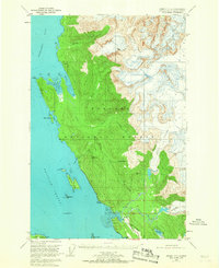
Editions of this 1951 Juneau C-3 Map
3 editions found

Other maps of this area

1947 · Juneau B-3
USGS Topo · 1:63,360

1947 · Juneau B-2
USGS Topo · 1:63,360

1948 · Juneau B-4
USGS Topo · 1:63,360

1948 · Juneau C-4
USGS Topo · 1:63,360

1948 · Juneau D-3
USGS Topo · 1:63,360

1949 · Juneau B-3
USGS Topo · 1:62,500

1949 · Juneau B-2
USGS Topo · 1:62,500

1949 · Juneau D-4
USGS Topo · 1:63,360

1949 · Juneau C-4
USGS Topo · 1:63,360

1949 · Juneau D-3
USGS Topo · 1:63,360