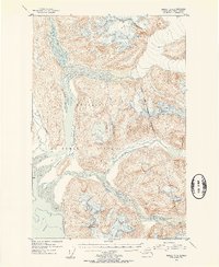
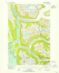
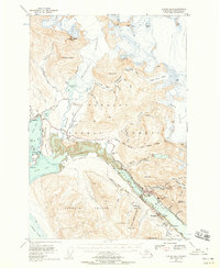
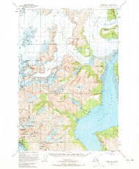
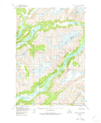
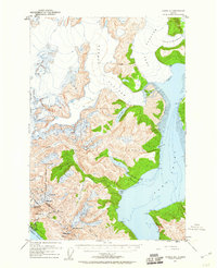
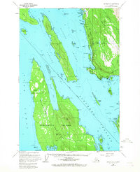
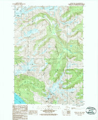
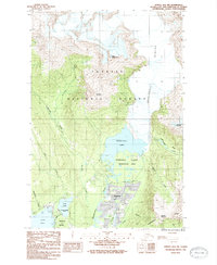
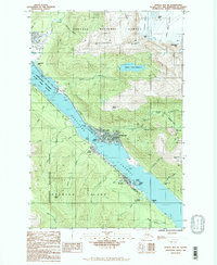
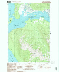
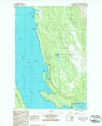
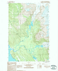
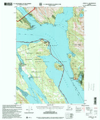
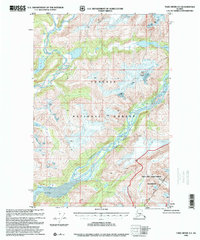
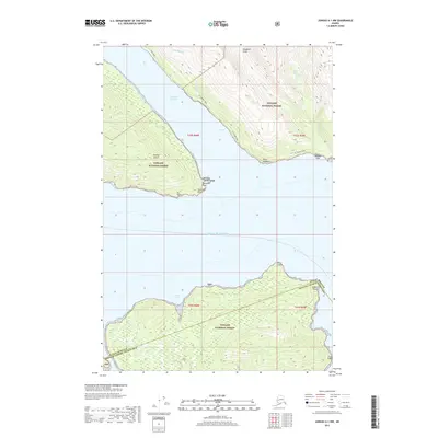
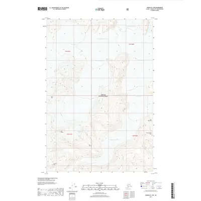
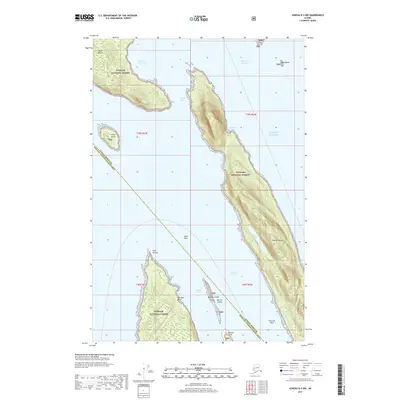
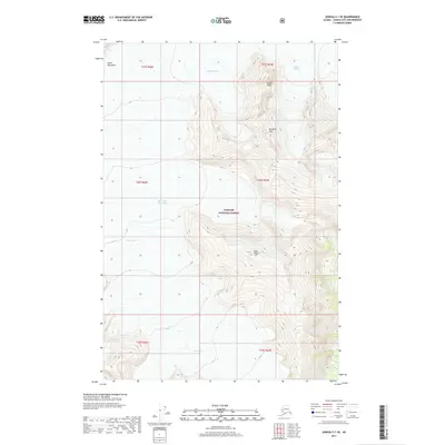
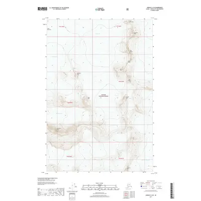
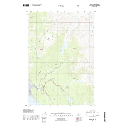
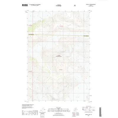
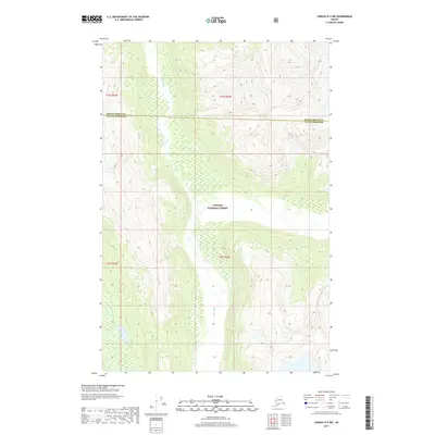
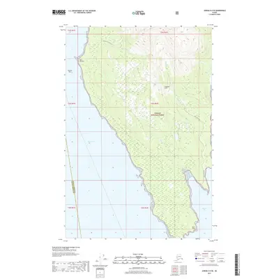
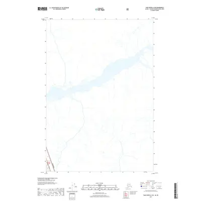
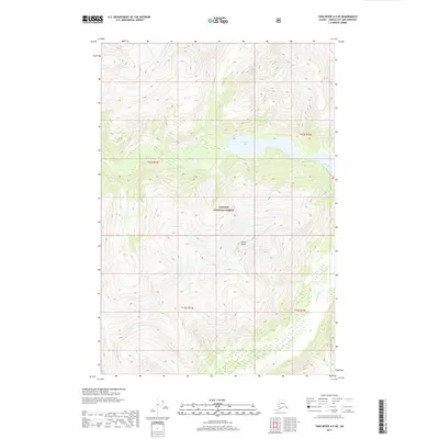
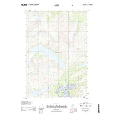
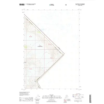
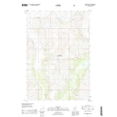
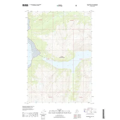
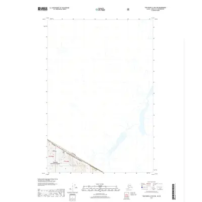
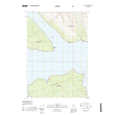
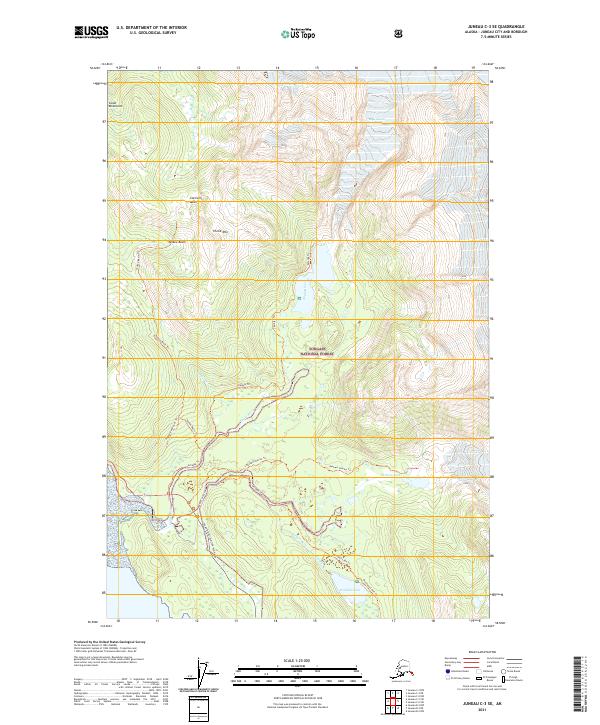
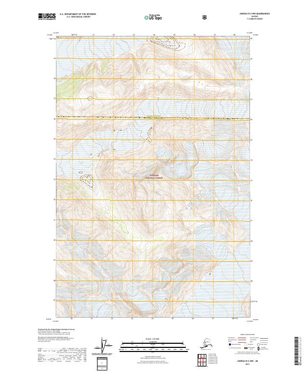
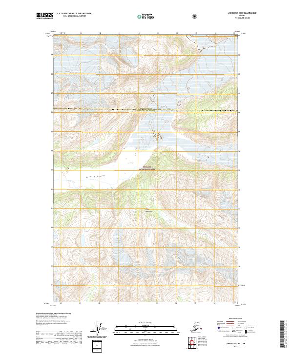
1953 Map of Juneau D-3
USGS Topo · Published 1954About this map
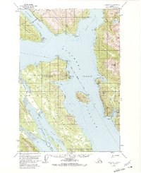
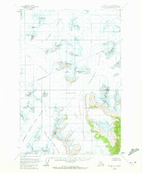
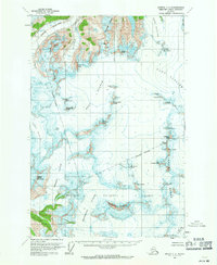
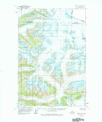
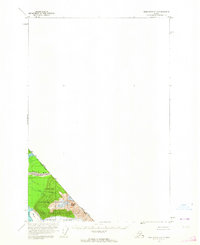
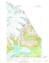
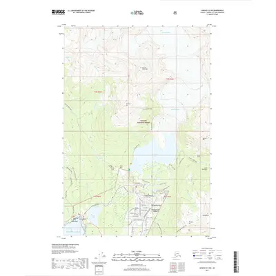
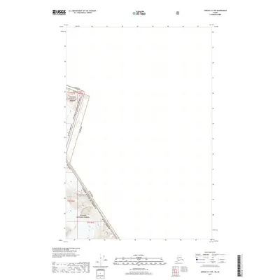
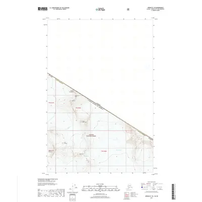
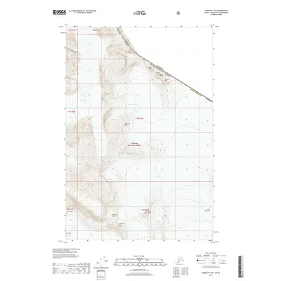
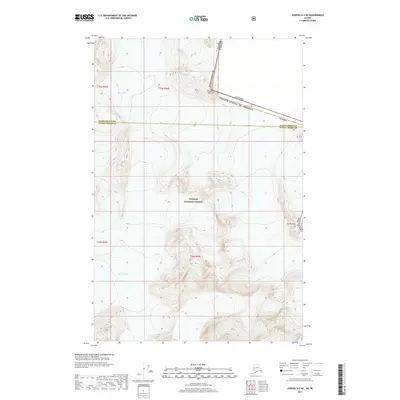
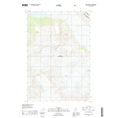
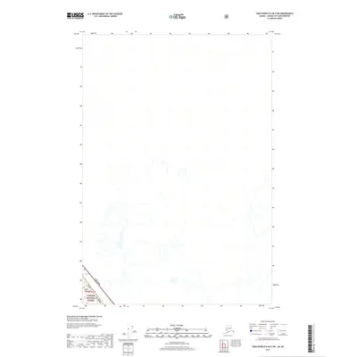
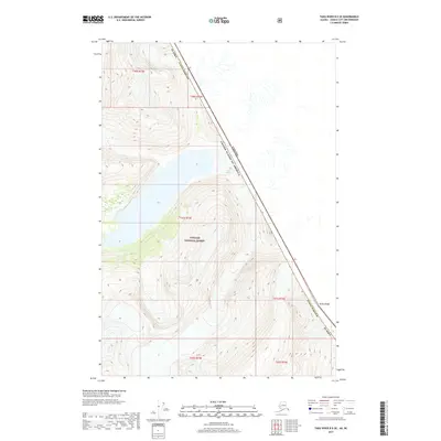
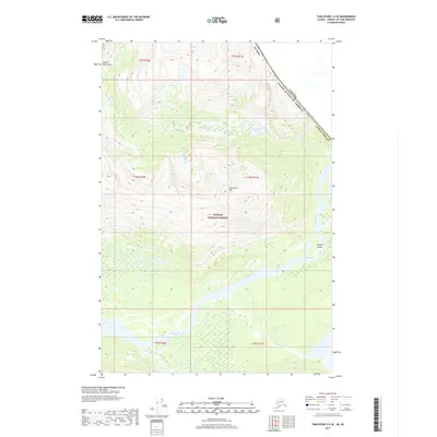
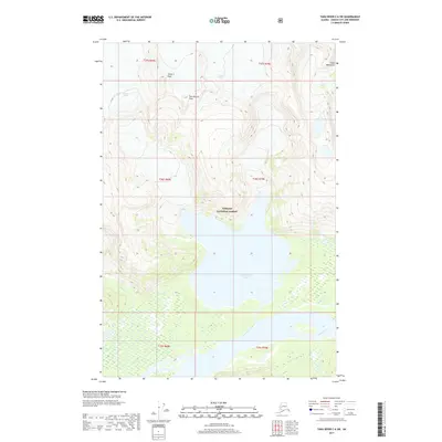
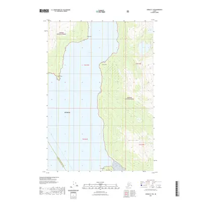
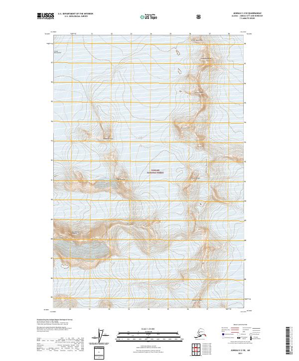
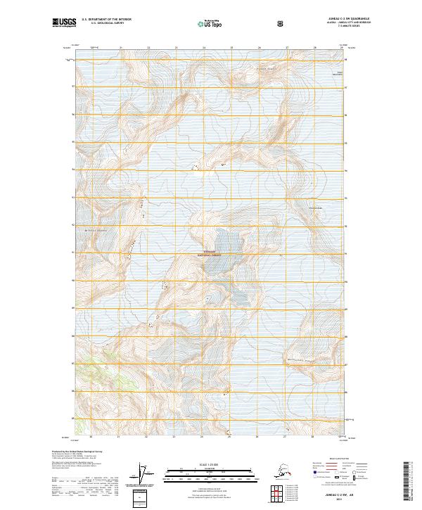
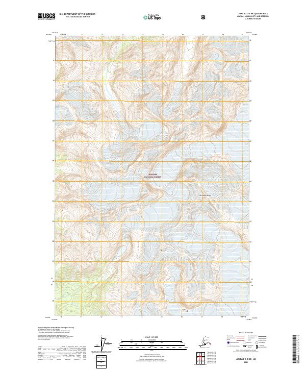
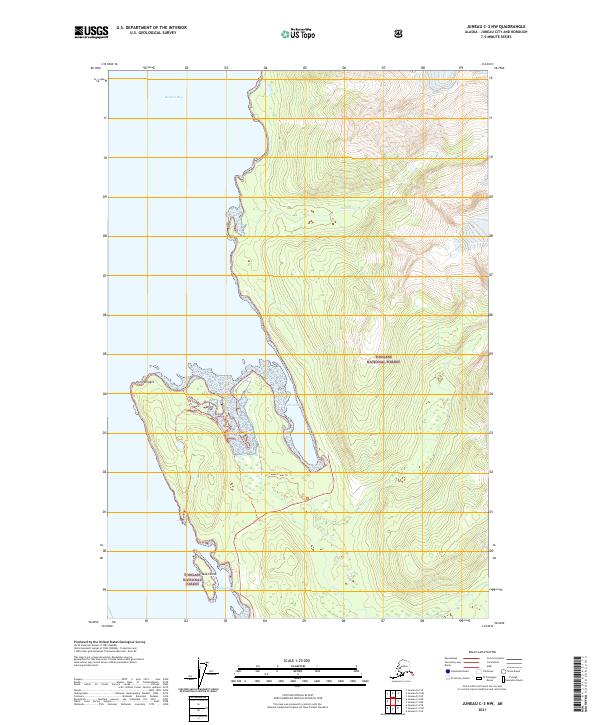
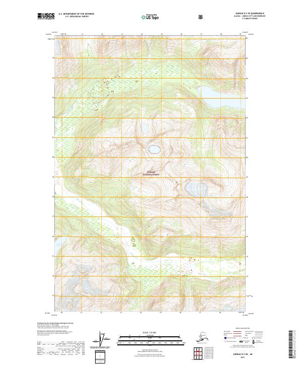
Tongass National Forest dominates this mid-century topographic survey, revealing the intricate glacial and river systems north of Juneau. The landscape is defined by the convergence of the Lace River, Berners River, and Antler River, which deposit silt into the broad glacial flats and mud banks at the head of Berners Bay.
Find a feature on this map
8 named features on this map. Tap any name to fly to it.
Don’t see what you’re looking for? This feature index may not catch every label — zoom into the map to look around manually.
Map Details
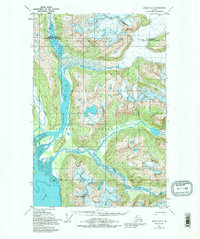
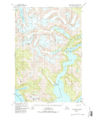
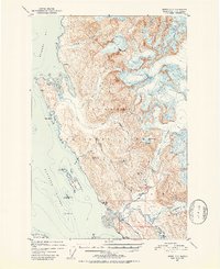
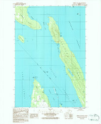
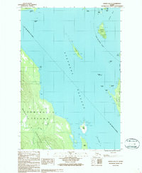
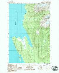
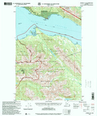
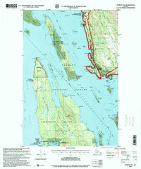
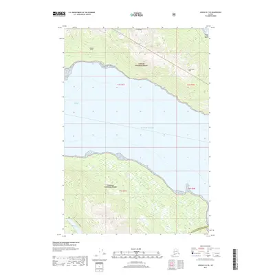
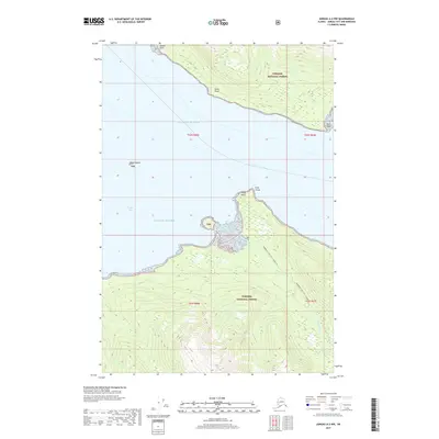
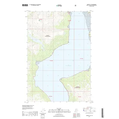
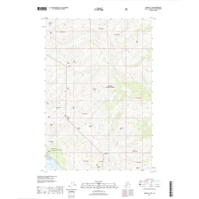
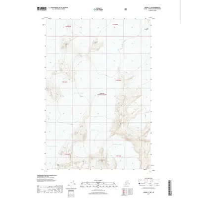
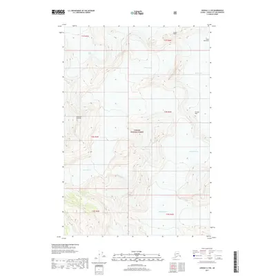
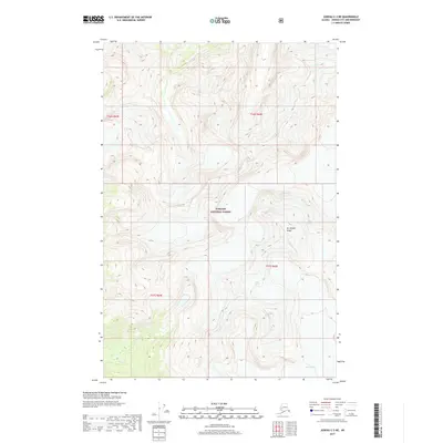
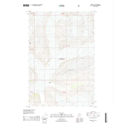
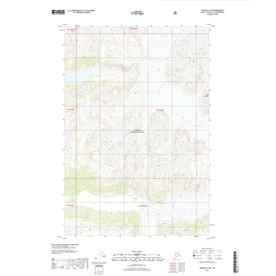
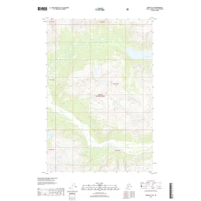
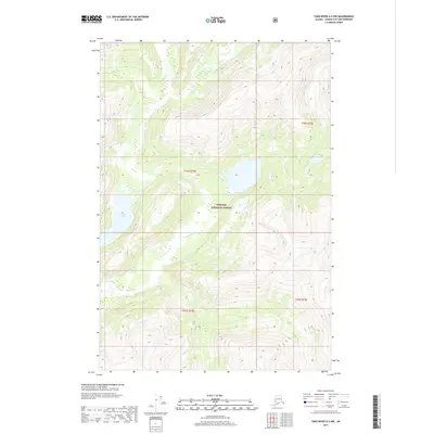
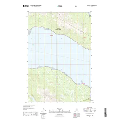
Editions of this 1953 Juneau D-3 Map
2 editions found
Historical Maps of Haines Through Time
201 maps found
1947 Juneau B-2
Juneau Borough, AK
1947 Juneau B-3
Juneau Borough, AK
1948 Juneau B-1
Juneau Borough, AK
1948 Juneau D-3
Juneau Borough, AK

1948 Sumdum D-6
Juneau Borough, AK
1949 Juneau B-2
Juneau Borough, AK

1949 Juneau B-3
Juneau Borough, AK
1949 Juneau D-3
Juneau Borough, AK
1951 Juneau A-1
Juneau Borough, AK
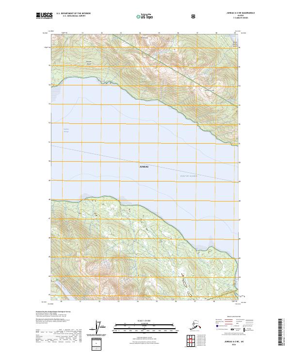
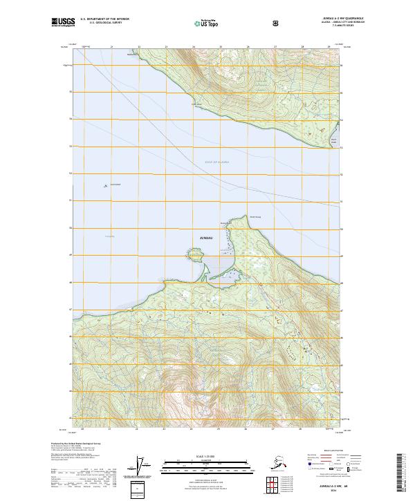
1951 Juneau A-2
Juneau Borough, AK
1951 Juneau C-3
Juneau Borough, AK
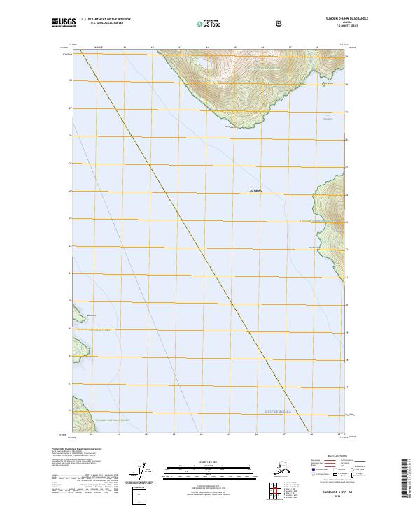
1951 Sumdum D-6
Juneau Borough, AK
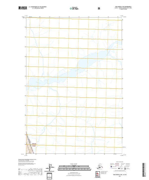
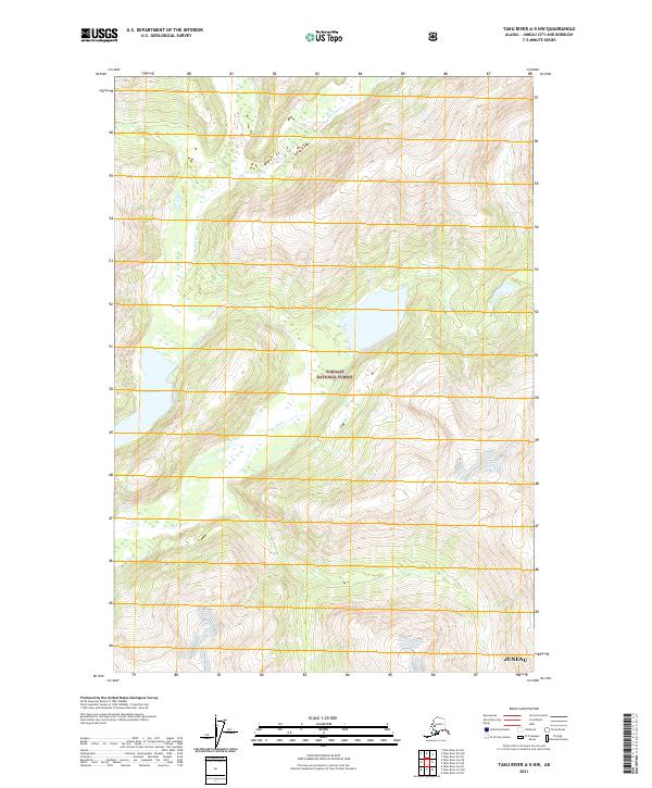
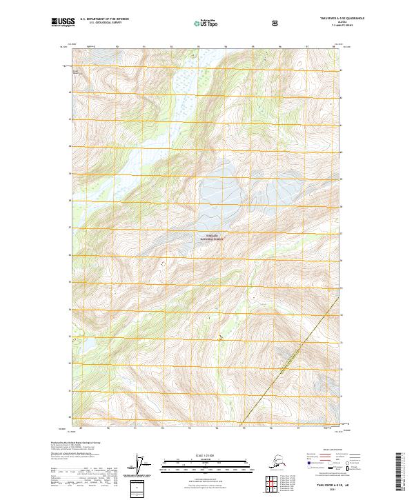
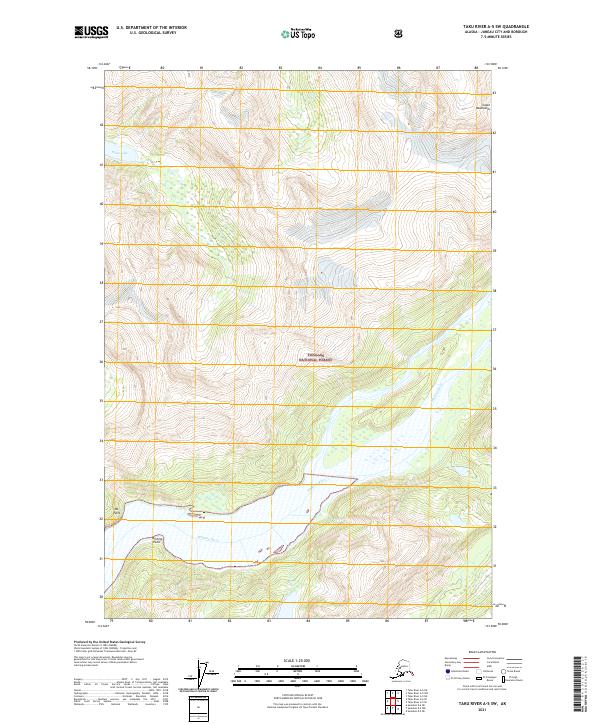
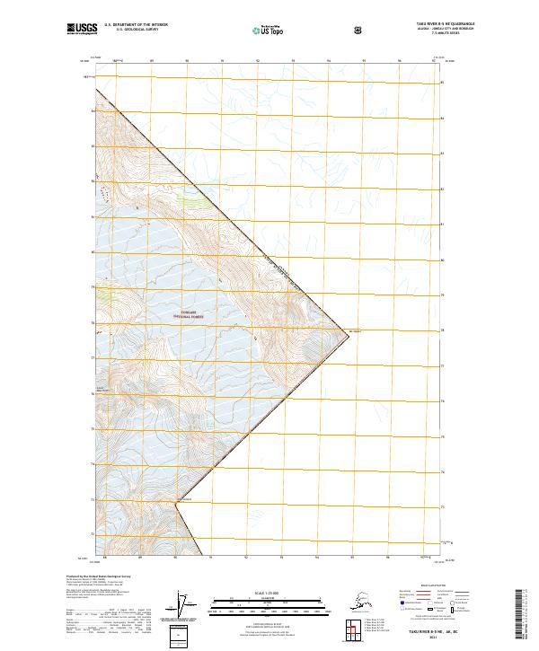
1951 Taku River A-5
Juneau Borough, AK
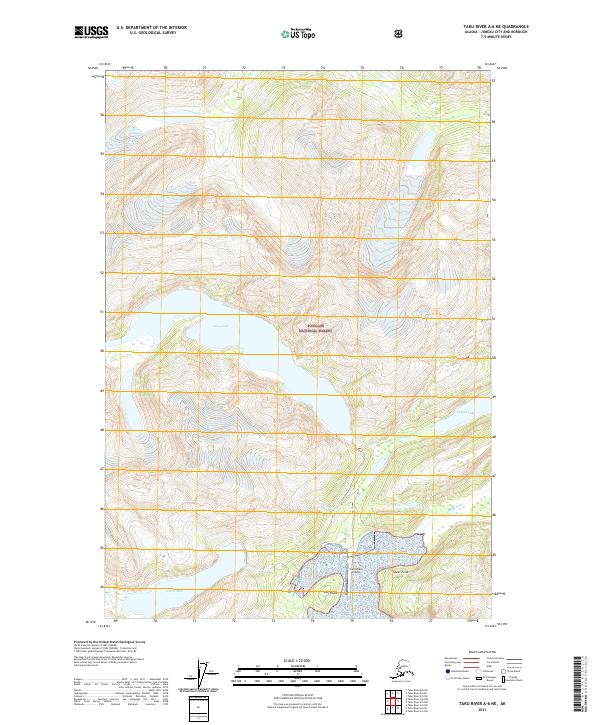
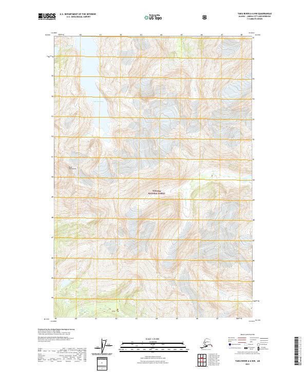
1951 Taku River A-6
Juneau Borough, AK
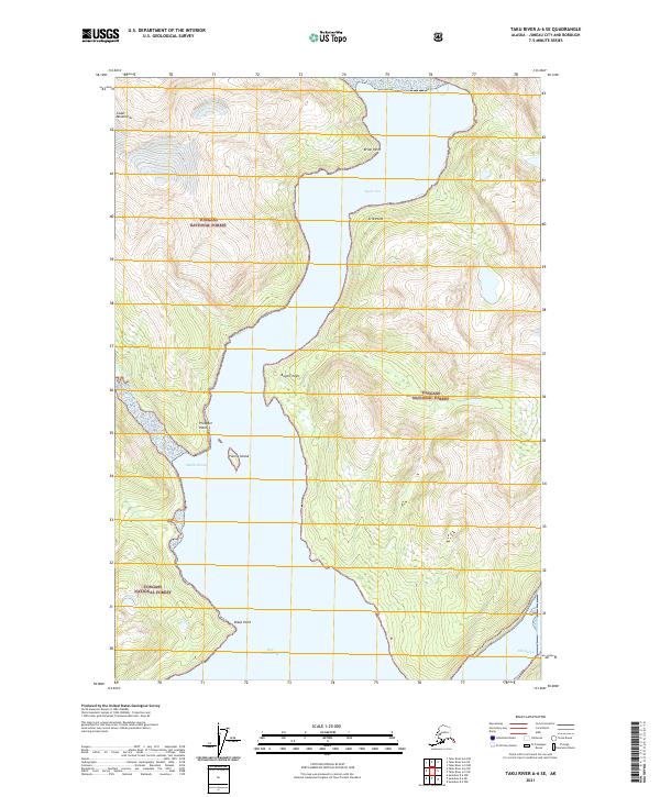
1951 Taku River B-5
Juneau Borough, AK
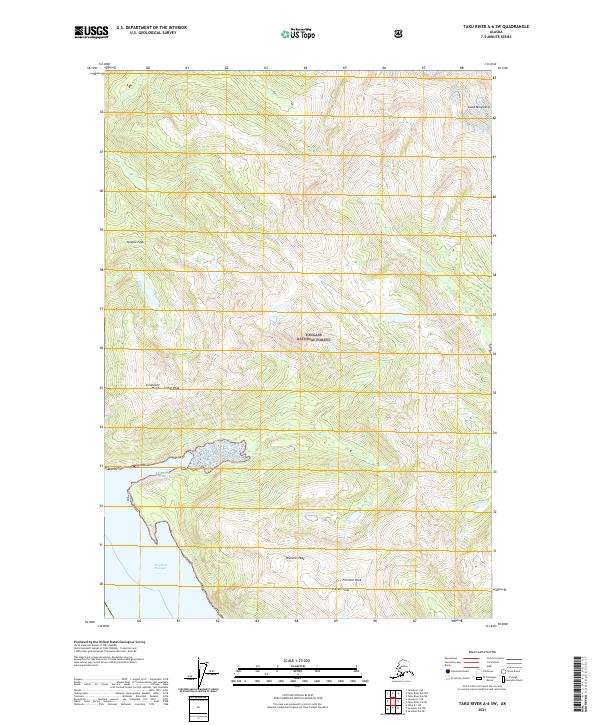
1951 Taku River B-6
Juneau Borough, AK
1952 Juneau B-1
Juneau Borough, AK
1952 Juneau C-3
Juneau Borough, AK
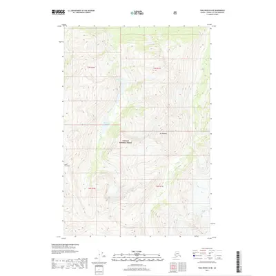
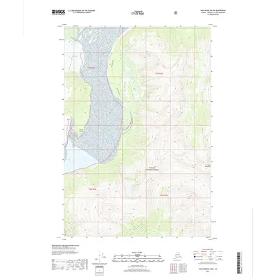
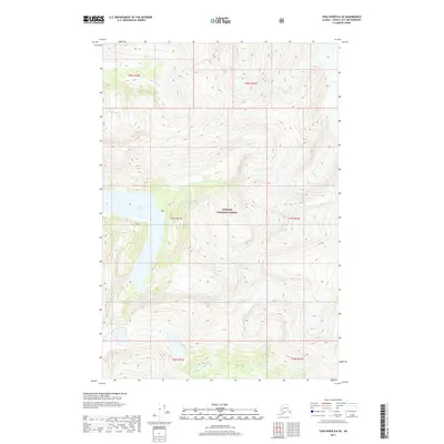
1953 Juneau D-3
Juneau Borough, AK
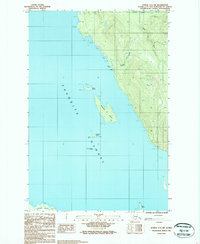
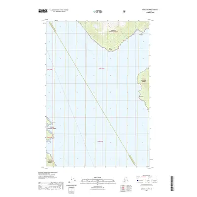
1953 Taku River
Juneau Borough, AK
1954 Juneau A-1
Juneau Borough, AK
1960 Juneau C-1
Juneau Borough, AK
1960 Juneau C-2
Juneau Borough, AK
1960 Juneau D-1
Juneau Borough, AK
1960 Juneau D-2
Juneau Borough, AK
1960 Taku River C-5
Juneau Borough, AK
1960 Taku River C-6
Juneau Borough, AK
1960 Taku River
Juneau Borough, AK
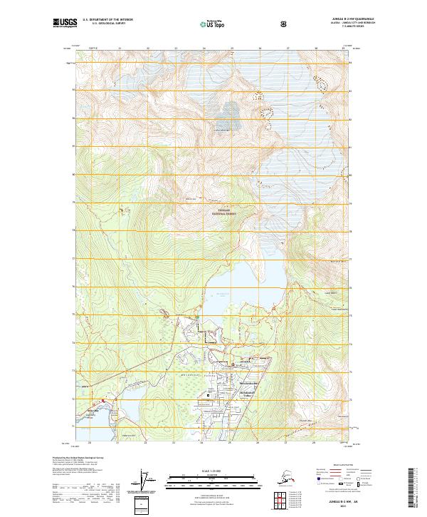
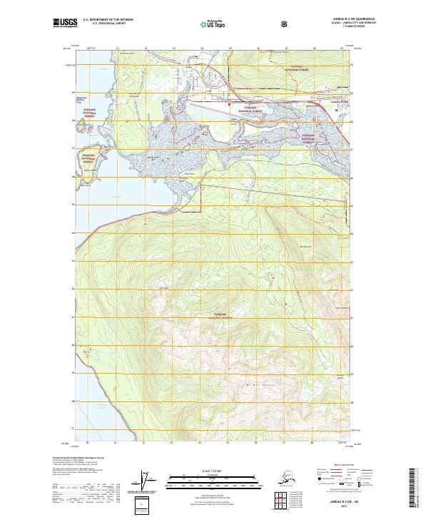
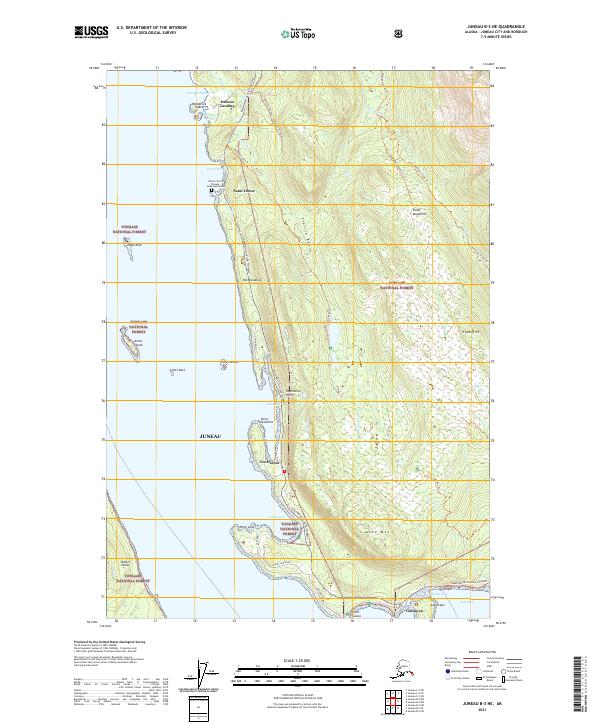
1962 Juneau B-2
Juneau Borough, AK
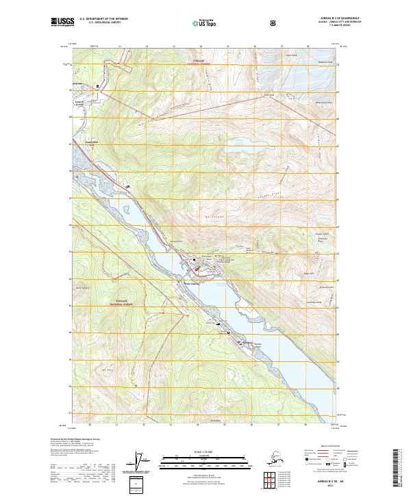
1962 Juneau B-3
Juneau Borough, AK
1986 Juneau A-1 NW
Juneau Borough, AK
1986 Juneau A-2 NE
Juneau Borough, AK
1986 Juneau A-2 NW
Juneau Borough, AK
1986 Juneau B-1 SW
Juneau Borough, AK
1986 Juneau B-2 NW
Juneau Borough, AK
1986 Juneau B-2 SE
Juneau Borough, AK
1986 Juneau B-2 SW
Juneau Borough, AK
1986 Juneau B-3 NE
Juneau Borough, AK
1986 Juneau B-3 NW
Juneau Borough, AK
1986 Juneau B-3 SE
Juneau Borough, AK
1986 Juneau C-3 NW
Juneau Borough, AK
1986 Juneau C-3 SE
Juneau Borough, AK
1986 Juneau C-3 SW
Juneau Borough, AK
1994 Taku River B-6
Juneau Borough, AK
1995 Taku River C-6
Juneau Borough, AK
1996 Juneau A-1
Juneau Borough, AK
1996 Juneau A-2
Juneau Borough, AK
1996 Juneau B-3
Juneau Borough, AK
1996 Juneau C-3
Juneau Borough, AK
1996 Taku River A-5
Juneau Borough, AK
1997 Juneau B-1
Juneau Borough, AK
1997 Juneau D-2
Juneau Borough, AK
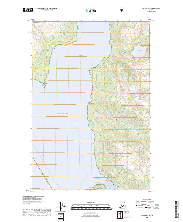
2017 Juneau A-1 NE
Juneau Borough, AK
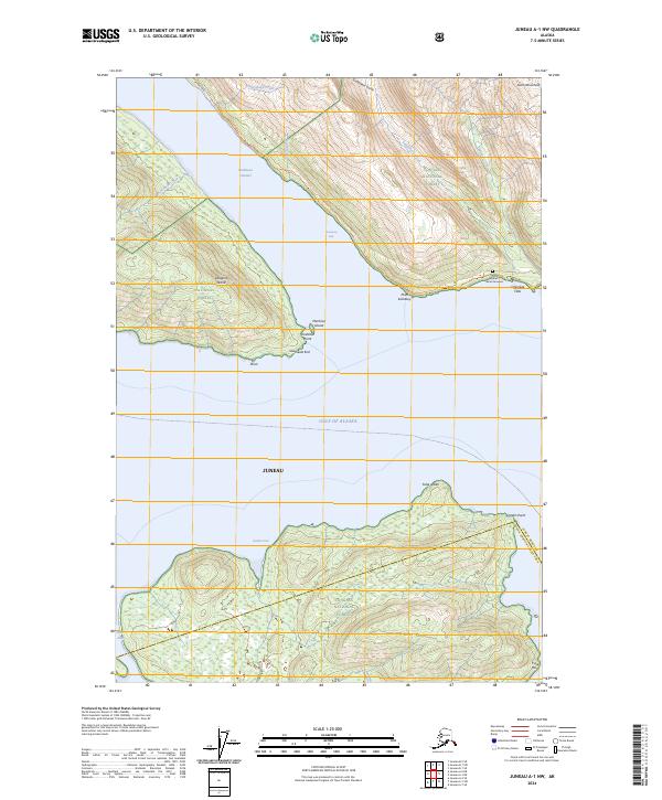
2017 Juneau A-1 NW
Juneau Borough, AK
2017 Juneau A-2 NE
Juneau Borough, AK
2017 Juneau A-2 NW
Juneau Borough, AK
2017 Juneau B-1 NE
Juneau Borough, AK
2017 Juneau B-1 NW
Juneau Borough, AK
2017 Juneau B-1 SE
Juneau Borough, AK
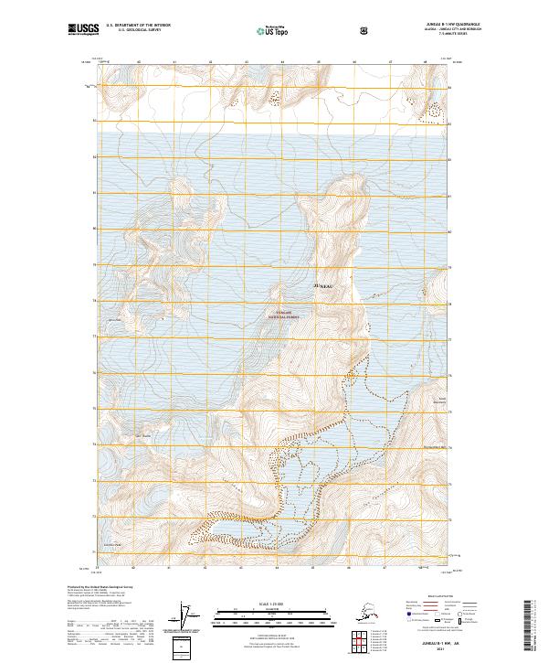
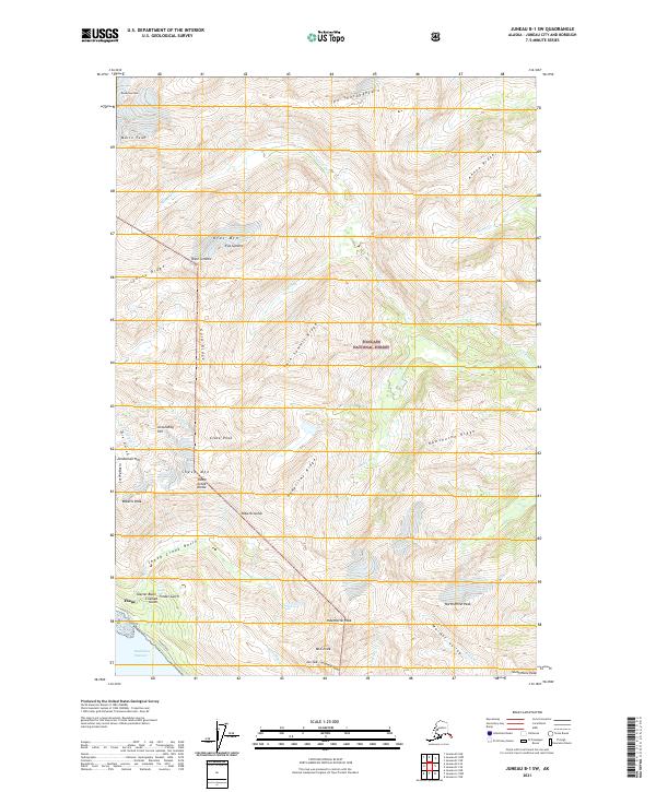
2017 Juneau B-1 SW
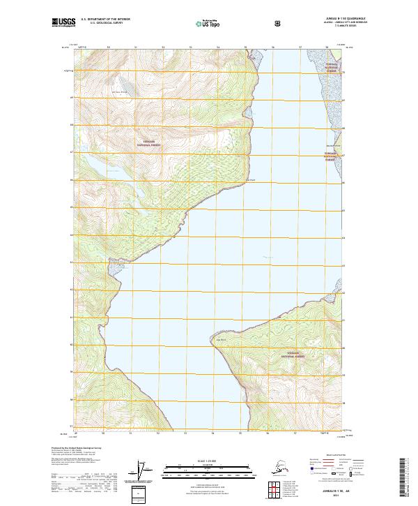
Juneau Borough, AK
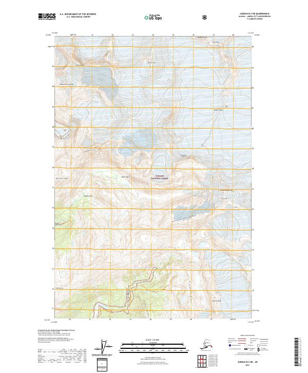
2017 Juneau B-2 NE
Juneau Borough, AK
2017 Juneau B-2 NW
Juneau Borough, AK
2017 Juneau B-2 SE
Juneau Borough, AK
2017 Juneau B-2 SW
Juneau Borough, AK
2017 Juneau B-3 NE
Juneau Borough, AK
2017 Juneau B-3 NW
Juneau Borough, AK
2017 Juneau B-3 SE
Juneau Borough, AK
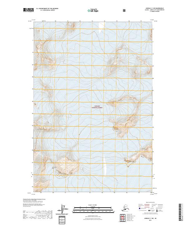
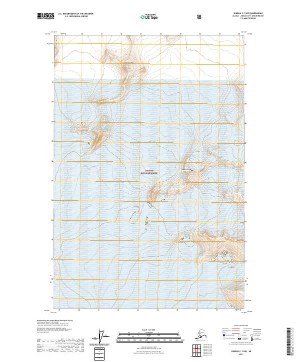
2017 Juneau C-1 NE
Juneau Borough, AK
2017 Juneau C-1 NW
Juneau Borough, AK
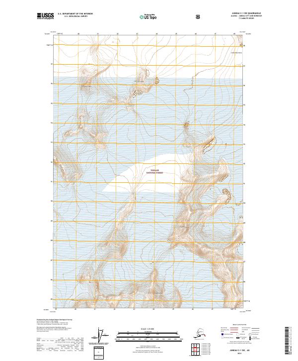
2017 Juneau C-1 SE
Juneau Borough, AK
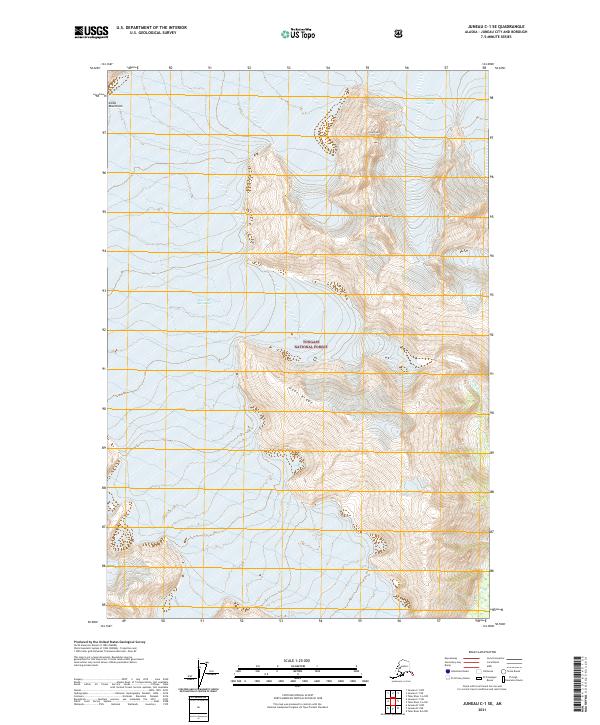
2017 Juneau C-1 SW
Juneau Borough, AK
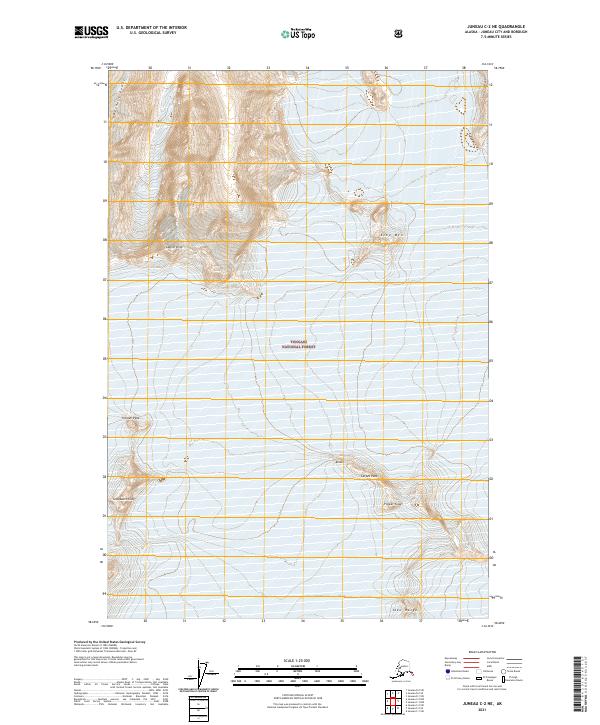
2017 Juneau C-2 NE
Juneau Borough, AK
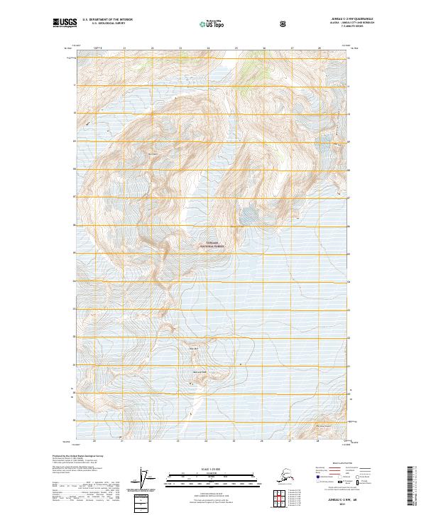
2017 Juneau C-2 NW
Juneau Borough, AK
2017 Juneau C-2 SE
Juneau Borough, AK
2017 Juneau C-2 SW
Juneau Borough, AK
2017 Juneau C-3 NE
Juneau Borough, AK
2017 Juneau C-3 NW
Juneau Borough, AK
2017 Juneau C-3 SE
Juneau Borough, AK
2017 Juneau C-3 SW
Juneau Borough, AK
2017 Juneau C-4 NE
Juneau Borough, AK
2017 Juneau C-4 SE
Juneau Borough, AK
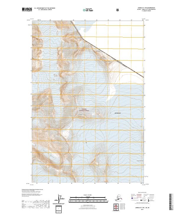
2017 Juneau D-1 NW
Juneau Borough, AK
2017 Juneau D-1 SE
Juneau Borough, AK
2017 Juneau D-1 SW
Juneau Borough, AK
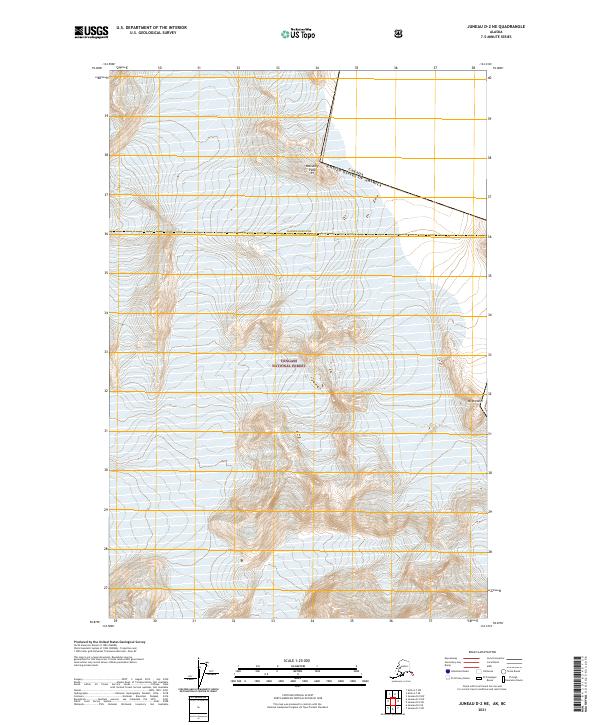
2017 Juneau D-2 NE
Juneau Borough, AK
2017 Juneau D-2 NW
Juneau Borough, AK
2017 Juneau D-2 SE
Juneau Borough, AK
2017 Juneau D-2 SW
Juneau Borough, AK
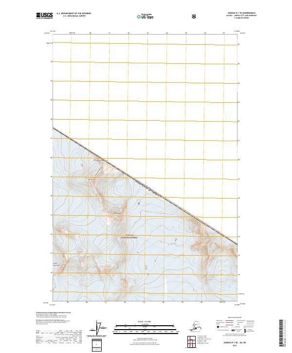
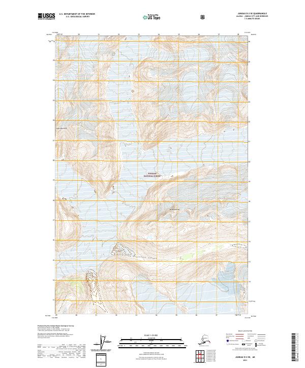
2017 Juneau D-3 NE
Juneau Borough, AK
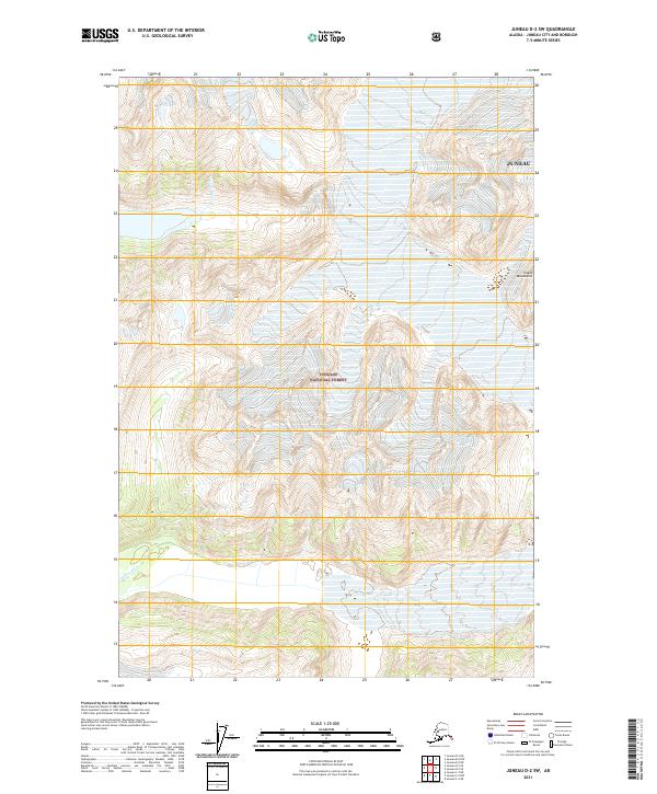
2017 Juneau D-3 NW
Juneau Borough, AK
2017 Juneau D-3 SE
Juneau Borough, AK
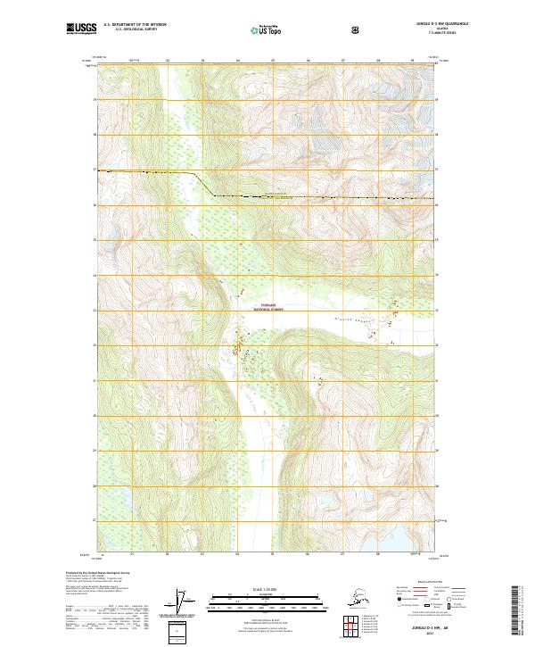
2017 Juneau D-3 SW
Juneau Borough, AK
2017 Juneau D-4 NE
Juneau Borough, AK
2017 Juneau D-4 SE
Juneau Borough, AK
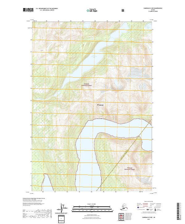
2017 Sumdum D-5 NW
Juneau Borough, AK
2017 Sumdum D-6 NE
Juneau Borough, AK
2017 Sumdum D-6 NW
Juneau Borough, AK
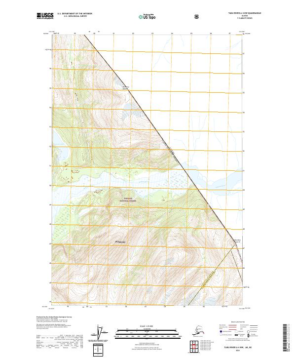
2017 Taku River A-4 NE
Juneau Borough, AK
2017 Taku River A-4 NW
Juneau Borough, AK
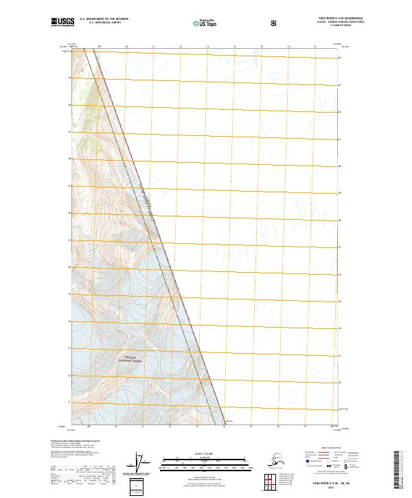
2017 Taku River A-4 SE
Juneau Borough, AK
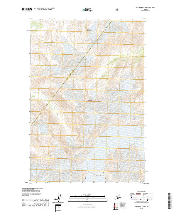
2017 Taku River A-4 SW
Juneau Borough, AK
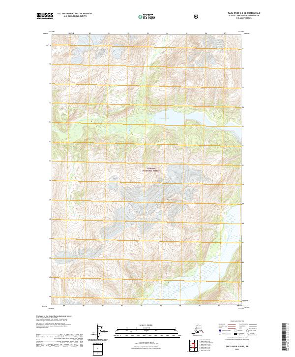
2017 Taku River A-5 NE
Juneau Borough, AK
2017 Taku River A-5 NW
Juneau Borough, AK
2017 Taku River A-5 SE
Juneau Borough, AK
2017 Taku River A-5 SW
Juneau Borough, AK
2017 Taku River A-6 NE
Juneau Borough, AK
2017 Taku River A-6 NW
Juneau Borough, AK
2017 Taku River A-6 SE
Juneau Borough, AK
2017 Taku River A-6 SW
Juneau Borough, AK
2017 Taku River B-5 NE
Juneau Borough, AK
2017 Taku River B-5 NW
Juneau Borough, AK
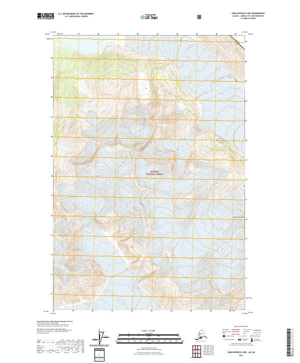
2017 Taku River B-5 OE E SW
Juneau Borough, AK
2017 Taku River B-5 SE
Juneau Borough, AK
2017 Taku River B-5 SW
Juneau Borough, AK
2017 Taku River B-6 NE
Juneau Borough, AK
2017 Taku River B-6 NW
Juneau Borough, AK
2017 Taku River B-6 SE
Juneau Borough, AK
2017 Taku River B-6 SW
Juneau Borough, AK
2017 Taku River C-5 SW
Juneau Borough, AK
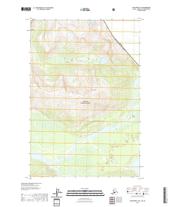
2017 Taku River C-6 NE
Juneau Borough, AK
2017 Taku River C-6 NW
Juneau Borough, AK
2017 Taku River C-6 OE N SW
Juneau Borough, AK
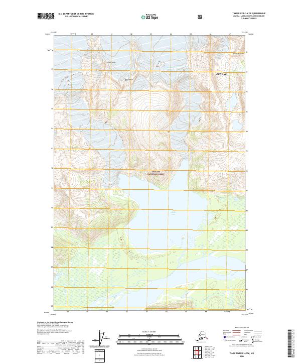
2017 Taku River C-6 SE
Juneau Borough, AK
2017 Taku River C-6 SW
Juneau Borough, AK
2021 Juneau A-1 NE
Juneau Borough, AK
2021 Juneau A-1 NW
Juneau Borough, AK
2021 Juneau A-2 NE
Juneau Borough, AK
2021 Juneau A-2 NW
Juneau Borough, AK
2021 Juneau B-1 NE
Juneau Borough, AK
2021 Juneau B-1 NW
Juneau Borough, AK
2021 Juneau B-1 SE
Juneau Borough, AK
2021 Juneau B-1 SW
Juneau Borough, AK
2021 Juneau B-2 NE
Juneau Borough, AK
2021 Juneau B-2 NW
Juneau Borough, AK
2021 Juneau B-2 SE
Juneau Borough, AK
2021 Juneau B-2 SW
Juneau Borough, AK
2021 Juneau B-3 NE
Juneau Borough, AK
2021 Juneau B-3 NW
Juneau Borough, AK
2021 Juneau B-3 SE
Juneau Borough, AK
2021 Juneau C-1 NE
Juneau Borough, AK
2021 Juneau C-1 NW
Juneau Borough, AK
2021 Juneau C-1 SE
Juneau Borough, AK
2021 Juneau C-1 SW
Juneau Borough, AK
2021 Juneau C-2 NE
Juneau Borough, AK
2021 Juneau C-2 NW
Juneau Borough, AK
2021 Juneau C-2 SE
Juneau Borough, AK
2021 Juneau C-2 SW
Juneau Borough, AK
2021 Juneau C-3 NE
Juneau Borough, AK
2021 Juneau C-3 NW
Juneau Borough, AK
2021 Juneau C-3 SE
Juneau Borough, AK
2021 Juneau C-3 SW
Juneau Borough, AK
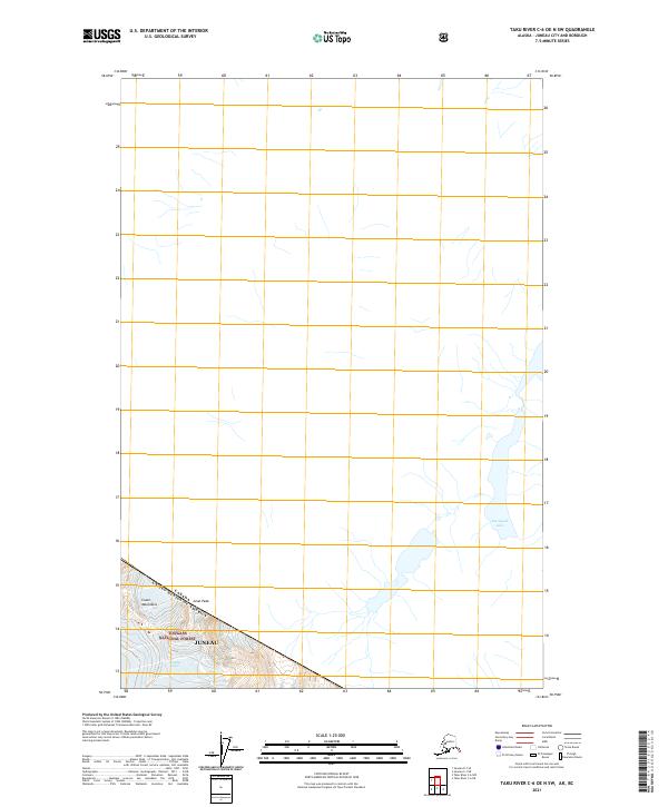
2021 Juneau C-4 NE
Juneau Borough, AK
2021 Juneau C-4 SE
Juneau Borough, AK

2021 Juneau D-1 NW
Juneau Borough, AK
2021 Juneau D-1 SE
Juneau Borough, AK
2021 Juneau D-1 SW
Juneau Borough, AK
2021 Juneau D-2 NE
Juneau Borough, AK
2021 Juneau D-2 NW
Juneau Borough, AK
2021 Juneau D-2 SE
Juneau Borough, AK
2021 Juneau D-2 SW
Juneau Borough, AK
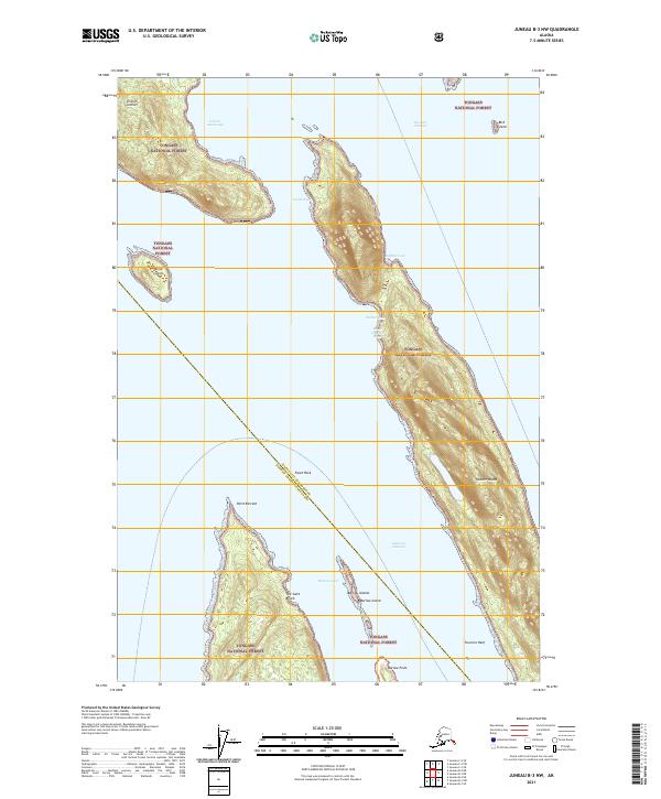
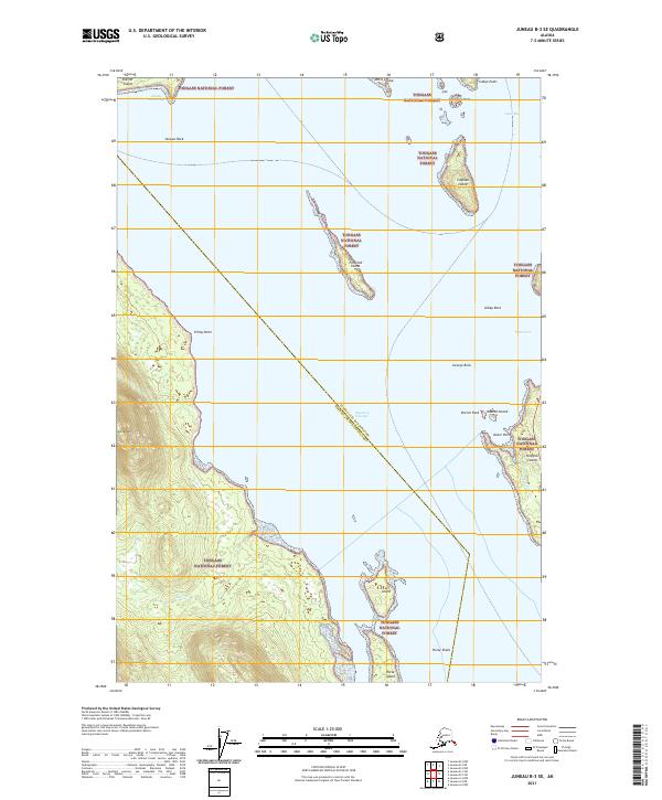
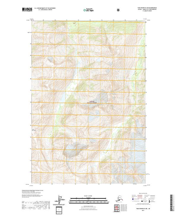
2021 Juneau D-3 NE
Juneau Borough, AK
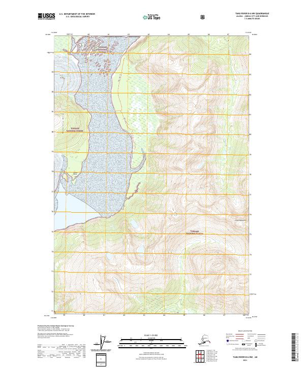
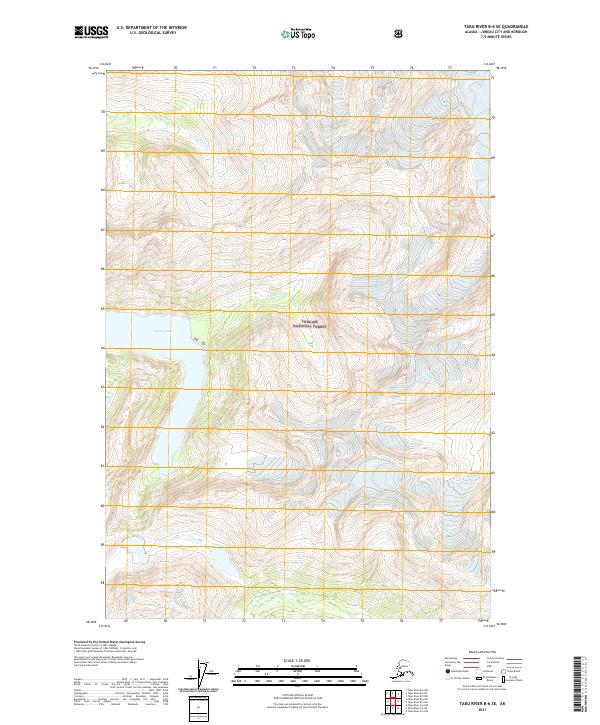
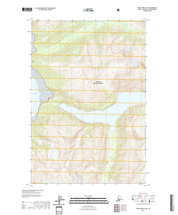
2021 Juneau D-3 NW
Juneau Borough, AK
2021 Juneau D-3 SE
Juneau Borough, AK
2021 Juneau D-3 SW
Juneau Borough, AK
2021 Juneau D-4 NE
Juneau Borough, AK
2021 Juneau D-4 SE
Juneau Borough, AK
2021 Sumdum D-5 NW
Juneau Borough, AK
2021 Sumdum D-6 NE
Juneau Borough, AK
2021 Sumdum D-6 NW
Juneau Borough, AK
2021 Taku River A-4 NE
Juneau Borough, AK
2021 Taku River A-4 NW
Juneau Borough, AK
2021 Taku River A-4 SE
Juneau Borough, AK
2021 Taku River A-4 SW
Juneau Borough, AK
2021 Taku River A-5 NE
Juneau Borough, AK
2021 Taku River A-5 NW
Juneau Borough, AK
2021 Taku River A-5 SE
Juneau Borough, AK
2021 Taku River A-5 SW
Juneau Borough, AK
2021 Taku River A-6 NE
Juneau Borough, AK
2021 Taku River A-6 NW
Juneau Borough, AK
2021 Taku River A-6 SE
Juneau Borough, AK
2021 Taku River A-6 SW
Juneau Borough, AK
2021 Taku River B-5 NE
Juneau Borough, AK
2021 Taku River B-5 NW
Juneau Borough, AK
2021 Taku River B-5 OE E SW
Juneau Borough, AK
2021 Taku River B-5 SE
Juneau Borough, AK
2021 Taku River B-5 SW
Juneau Borough, AK
2021 Taku River B-6 NE
Juneau Borough, AK
2021 Taku River B-6 NW
Juneau Borough, AK
2021 Taku River B-6 SE
Juneau Borough, AK
2021 Taku River B-6 SW
Juneau Borough, AK
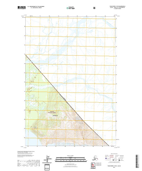
2021 Taku River C-5 SW
Juneau Borough, AK
2021 Taku River C-6 NE
Juneau Borough, AK
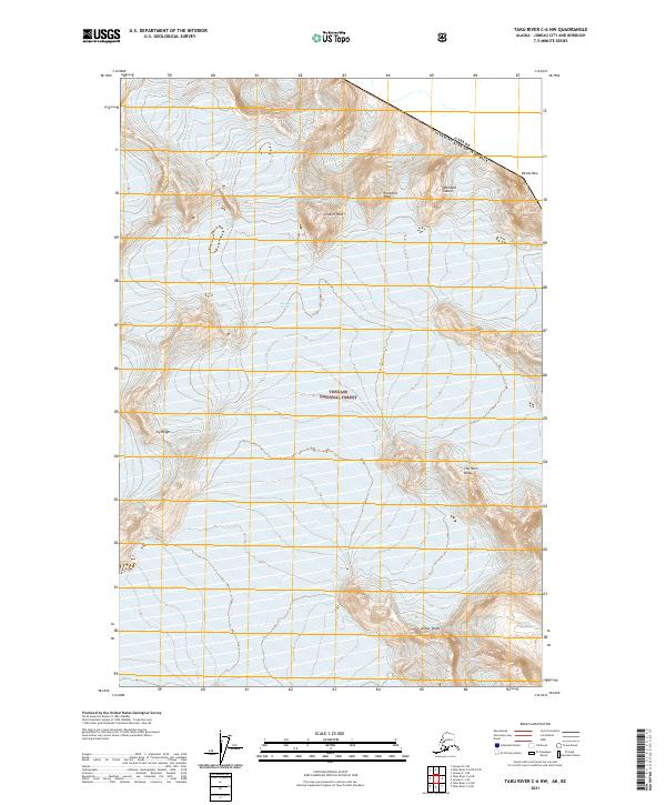
2021 Taku River C-6 NW
Juneau Borough, AK
2021 Taku River C-6 OE N SW
Juneau Borough, AK
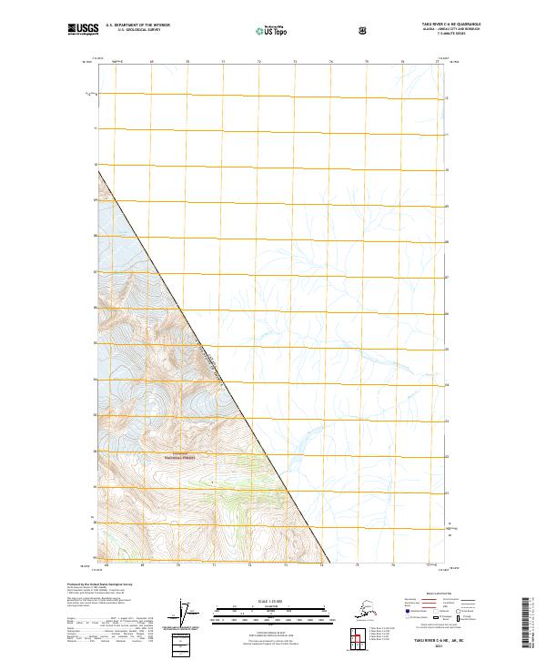
2021 Taku River C-6 SE
Juneau Borough, AK
2021 Taku River C-6 SW
Juneau Borough, AK
2024 Juneau A-1 NE
Juneau Borough, AK
2024 Juneau A-1 NW
Juneau Borough, AK
2024 Juneau A-2 NE
Juneau Borough, AK
2024 Juneau A-2 NW
Juneau Borough, AK
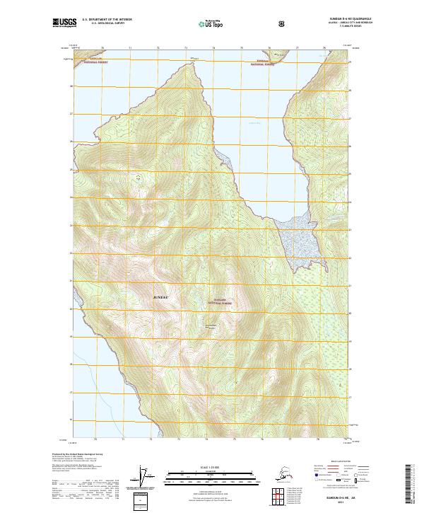
2024 Sumdum D-6 NW
Juneau Borough, AK