2020s Maps of Juneau, Alaska
Explore 94 historic maps of Juneau from the 2020s. These maps offer a rare glimpse into what life looked like during the 2020s — showing old roads, neighborhoods, homes, and landmarks that have changed or disappeared over time.
Whether you're researching your family's past, planning a metal detecting trip, or studying how Juneau's landscape evolved across the 2020s, these high-resolution maps are a powerful tool for exploring the history of this region.
- Focus on a specific era: All maps on this page are from the 2020s, giving you a focused view of this time period.
- See what’s changed: Compare century-old streets, trails, and buildings to today's modern landscape using overlays and satellite layers.
- Research with precision: Use these maps for genealogy, historical research, land use analysis, or educational projects.
- View, download, or print: Maps are fully viewable online in high resolution, and can be downloaded or printed for your own records.
Start exploring Juneau's history through authentic maps from the 2020s. This is your window into the past.
Juneau, AK maps
(94)- 2021 Map of Taku River C-6 NW, 2021 Print
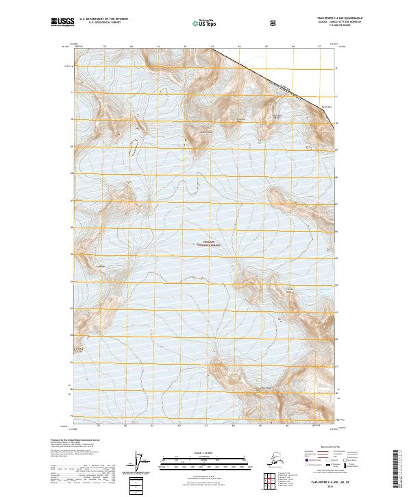 2021 Taku River C-6 NW2021 Print · USGSThe international border meets the high peaks of the Tongass National Forest in the 2020s. Researchers can trace the massive East Twin Glacier and Bacon Glacier alongside jagged summits like Devils Paw and Michaels Sword.
 - 2021 Map of Taku River B-5 SE, 2021 Print
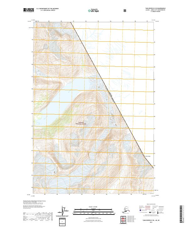 2021 Taku River B-5 SE2021 Print · USGSThe international boundary meets the glacial wilderness of Southeast Alaska in this 2021 study. Modern researchers can trace the reach of the Speel Glacier, follow the Speel River, and locate high-altitude landmarks like Mt Brundage.
 - 2021 Map of Taku River B-5 SW, 2021 Print
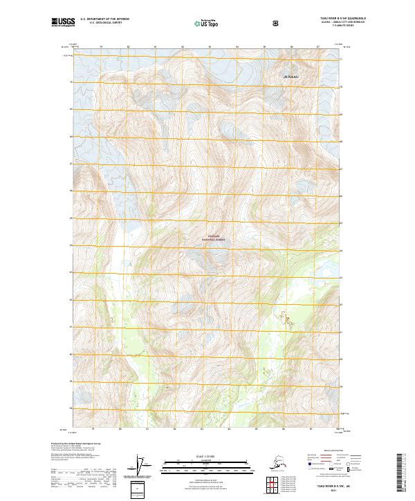 2021 Taku River B-5 SW2021 Print · USGSCoastal mountains and glacial valleys define this section of the Alaska Panhandle in the early 2020s. Map collectors and researchers can trace the reach of the Speel River as it winds through the southern Tongass National Forest.
 - 2021 Map of Taku River C-6 OE N SW, 2021 Print
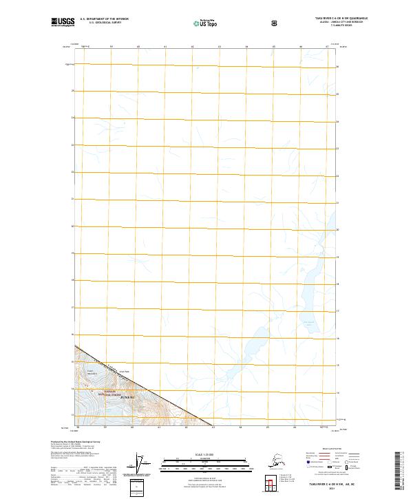 2021 Taku River C-6 OE N SW2021 Print · USGSThe international border meets the high peaks of the Coast Mountains in this recent survey of the Alaska-Canada boundary. Genealogists and researchers can trace the limits of the Tongass National Forest near Tulsequah Lake and Gisel Peak.
 - 2021 Map of Taku River C-6 SE, 2021 Print
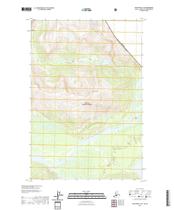 2021 Taku River C-6 SE2021 Print · USGSThe international border meets the Alaskan wilderness in the early twenty-first century. Researchers can trace the braided path of the Taku River past Canyon Island and locate the remote waters of Boundary Lake near the Canadian line.
 - 2021 Map of Taku River A-6 SW, 2021 Print
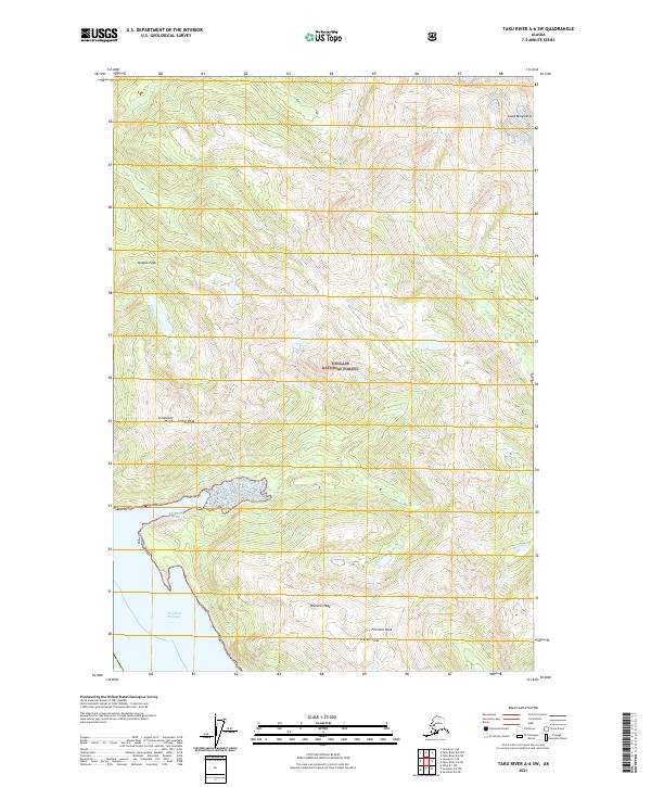 2021 Taku River A-6 SW2021 Print · USGSCoastal mountains meet the sea in this wilderness survey of the Tongass National Forest during the early twenty-first century. Researchers can trace the rugged topography of Limestone Bluffs, the deep waters of Limestone Inlet, and high summits like Steeple Peak.
 - 2021 Map of Taku River B-6 NE, 2021 Print
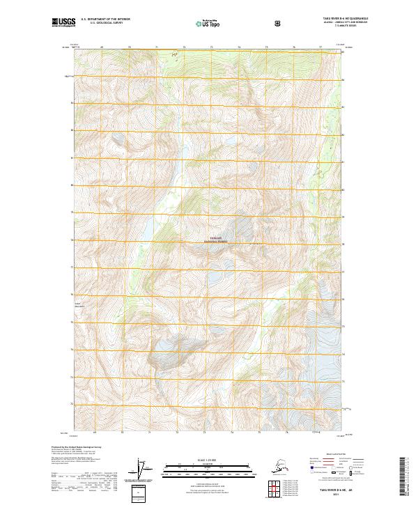 2021 Taku River B-6 NE2021 Print · USGSThe Coast Mountains outside Juneau are captured here in the early twenty-first century. Researchers can trace the drainages of Fehring Cr and Hidden Cr as they flow through the Tongass National Forest toward Taku Inlet.
 - 2021 Map of Taku River B-5 NW, 2021 Print
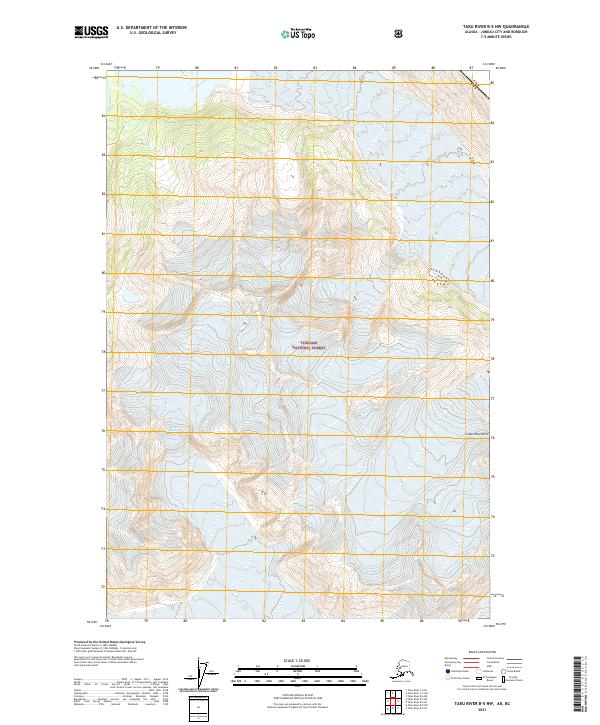 2021 Taku River B-5 NW2021 Print · USGSThe high wilderness of the Alaska-Canada border comes into focus in this recent survey of the Juneau area. Researchers can trace the massive ice fields of Wright Glacier and Bridge Glacier as they flow through the Coast Mountains toward the Wright River.
 - 2021 Map of Taku River A-5 NE, 2021 Print
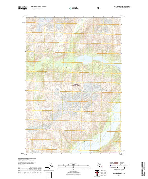 2021 Taku River A-5 NE2021 Print · USGSSoutheast Alaska in the early twenty-first century reveals a landscape of high peaks and protected wilderness southeast of Juneau. Map collectors and researchers can trace the glacial geography around Crescent Lake and the prominent heights of Snow Tower.
 - 2021 Map of Taku River B-6 SW, 2021 Print
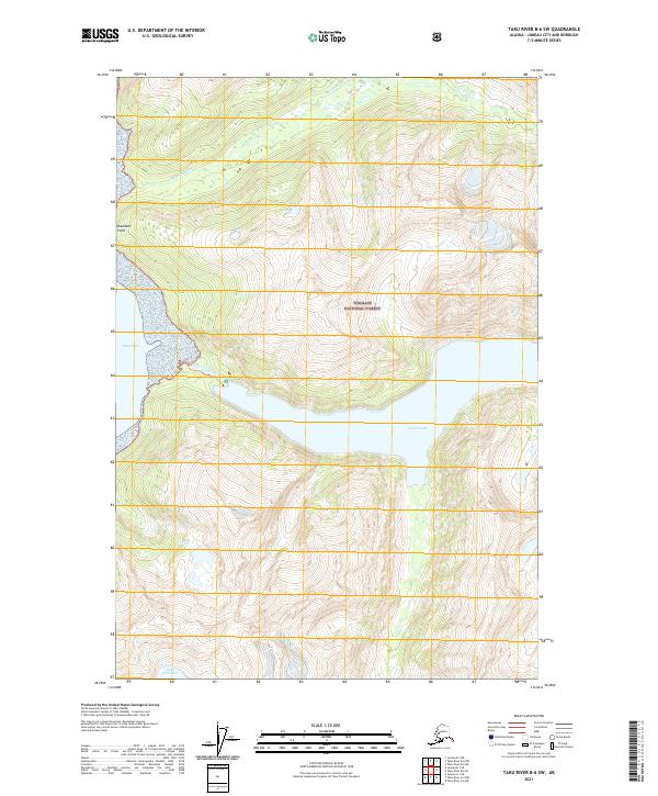 2021 Taku River B-6 SW2021 Print · USGSThe wilderness southeast of Juneau is captured here in the early twenty-first century, showing the intersection of alpine lakes and tidal inlets. Researchers can trace the rugged shoreline from Davidson Point to the deep waters of Turner Lake and Lake Dorothy.
 - 2021 Map of Taku River A-4 SW, 2021 Print
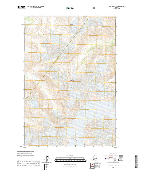 2021 Taku River A-4 SW2021 Print · USGSSoutheast Alaska in the early twenty-first century is defined by its pristine interior wilderness and complex administrative lines. Trace the boundary between Juneau City and Borough and the Hoonah-Angoon Census Area across the Coast Mountains.
 - 2021 Map of Taku River C-6 SW, 2021 Print
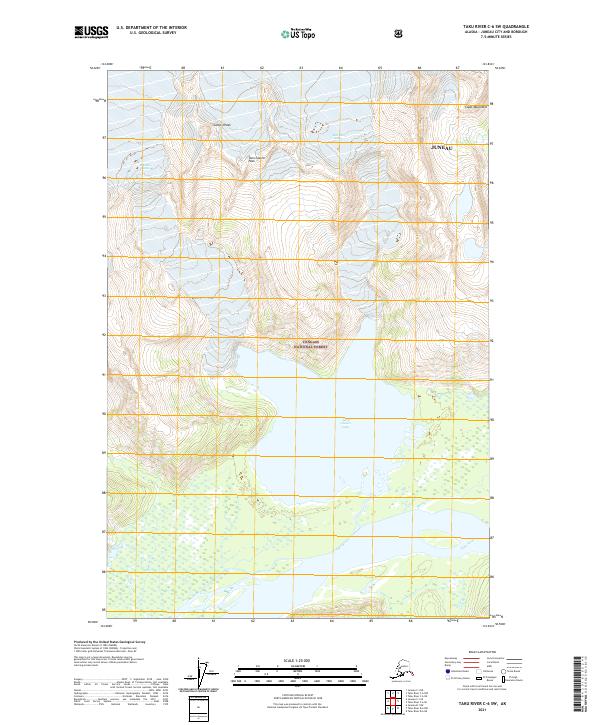 2021 Taku River C-6 SW2021 Print · USGSCoastal Alaska's wilderness comes into focus in this contemporary survey of the Juneau borough. Researchers can trace the glacial hydrology between Twin Glacier Lake and the Taku River, or identify high-altitude landmarks like Camp 4 Peak and Twin Glacier Peak.
 - 2021 Map of Taku River B-5 NE, 2021 Print
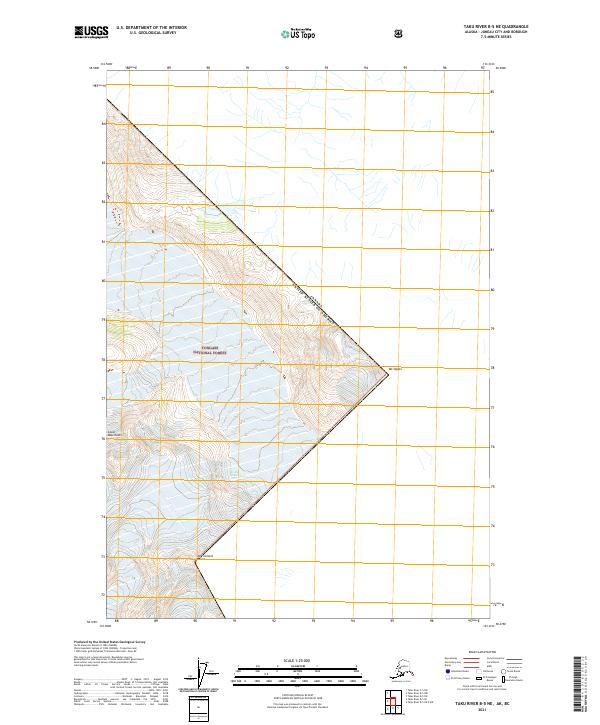 2021 Taku River B-5 NE2021 Print · USGSThe international border and high-altitude wilderness of the Alaska-Canada boundary are documented here in the early 2020s. Hikers and researchers can trace the steep ridgelines of the Coast Mountains between Mt Ogden and Mt Fremont Morse.
 - 2021 Map of Taku River A-4 NW, 2021 Print
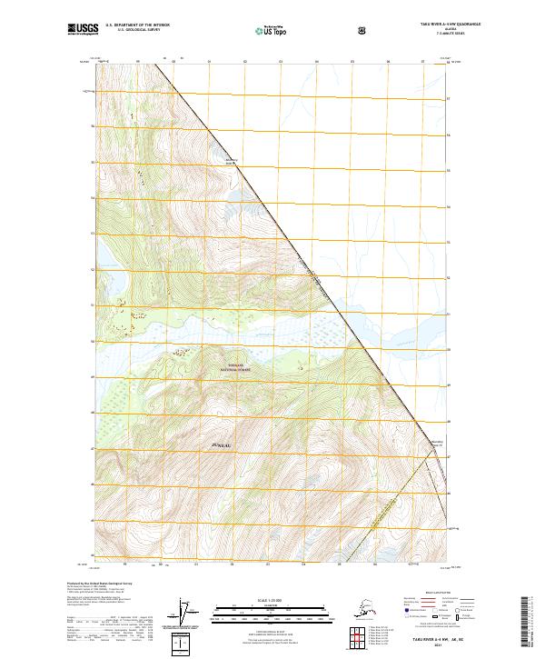 2021 Taku River A-4 NW2021 Print · USGSAlaskan wilderness along the international border is documented in this 2021 survey of the Coast Mountains. Trace the high-altitude boundary between Boundary Peak 83 and Boundary Peak 79 or follow the braided Whiting River through the Tongass National Forest.
 - 2021 Map of Taku River A-5 NW, 2021 Print
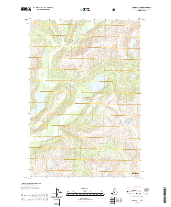 2021 Taku River A-5 NW2021 Print · USGSThe coastal wilderness southeast of Juneau comes into focus during the early twenty-first century. Researchers can trace the path of the Speel River through the Tongass National Forest or locate high-altitude features like Indian Lake.
 - 2021 Map of Taku River A-6 SE, 2021 Print
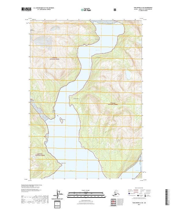 2021 Taku River A-6 SE2021 Print · USGSThe wilderness around Speel Arm and Port Snettisham appears in this recent study of coastal Alaska. Map collectors and maritime historians can trace the points and coves of the Tongass National Forest, including Fannie Island and Mallard Cove.
 - 2021 Map of Taku River A-5 SE, 2021 Print
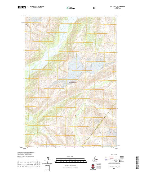 2021 Taku River A-5 SE2021 Print · USGSSoutheast Alaska’s alpine wilderness is captured here in the early twenty-first century, centered on the high peaks and glacial valleys near the Canadian border. Researchers can trace the path of the Whiting River through the Coast Mountains and the protected reaches of the Tongass National Forest.
 - 2021 Map of Taku River C-6 NE, 2021 Print
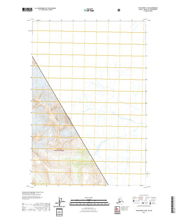 2021 Taku River C-6 NE2021 Print · USGSThe international boundary meets the wilderness of the Alsek-Taku area in the early 2020s. Researchers can trace the drainage of Bacon Creek and Wilms Creek through the Tongass National Forest and along the flanks of Bacon Glacier.
 - 2021 Map of Juneau C-1 NE, 2021 Print
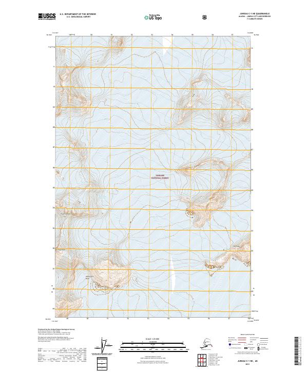 2021 Juneau C-1 NE2021 Print · USGSSoutheast Alaska’s high alpine wilderness near Juneau is captured here in the early 2020s, highlighting a landscape of permanent ice and rock. Researchers can locate named summits like Floprock Peak and The Scatter Peaks or trace the reach of the Unknown Glacier.
 - 2021 Map of Juneau C-3 NE, 2021 Print
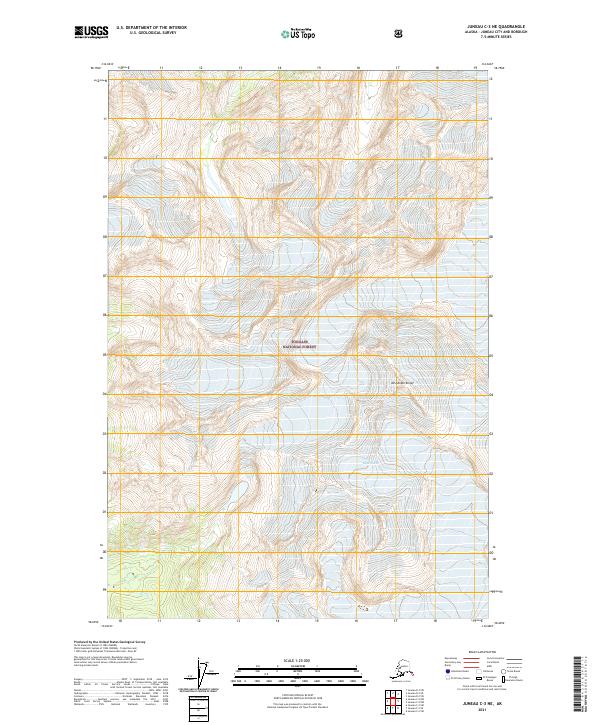 2021 Juneau C-3 NE2021 Print · USGSThe glacial wilderness of the Tongass National Forest is captured here in the early 2020s. Researchers can trace the massive ice flows of Eagle Glacier and Thiel Glacier or locate the peak of Mt Adolph Knopf.
 - 2021 Map of Juneau C-1 NW, 2021 Print
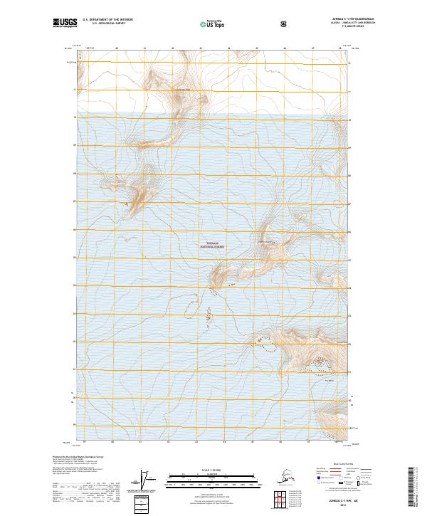 2021 Juneau C-1 NW2021 Print · USGSThe coastal mountains of the Tongass National Forest are documented in this recent survey of the Juneau area. Hikers and researchers can trace the high ridges of Centurian Peak, The Wall, and Vantage Peak across a landscape of rock and ice.
 - 2021 Map of Juneau C-2 NE, 2021 Print
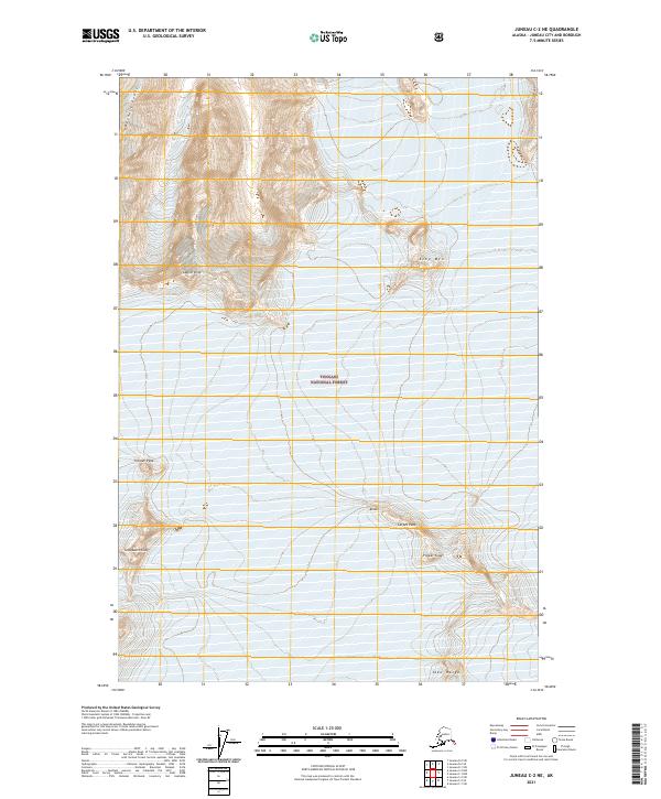 2021 Juneau C-2 NE2021 Print · USGSAlaskan wilderness near Juneau is charted here during the early 2020s, revealing a landscape of high-elevation massifs and ice. Adventurers and cartography fans can trace the peaks of Glacier King, the sheer drop of The Wall, and the jagged profile of Flower Tower.
 - 2021 Map of Juneau C-2 SE, 2021 Print
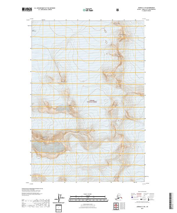 2021 Juneau C-2 SE2021 Print · USGSThe high Coast Mountains are captured in this 2021 study of the terrain northeast of Juneau. Mountaineers and geographers can trace the steep ridges between Mendenhall Towers, Cathedral Peak, and Snowdrift Peak in the Tongass National Forest.
 - 2021 Map of Juneau B-1 NW, 2021 Print
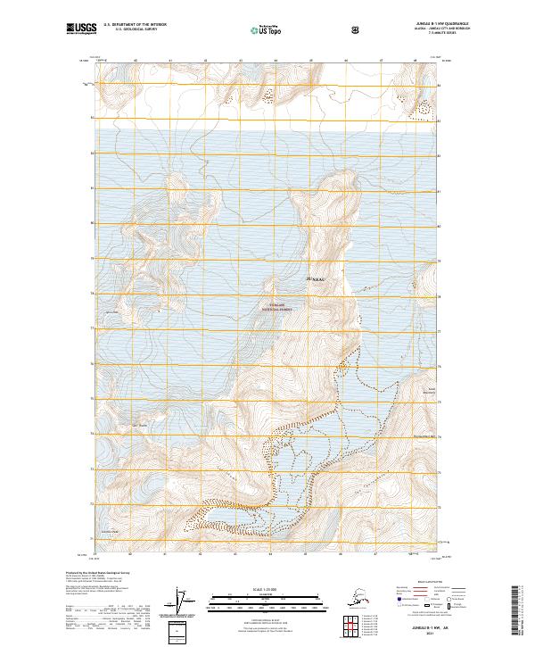 2021 Juneau B-1 NW2021 Print · USGSThe wilderness surrounding the Alaskan capital appears in striking detail on this recent topographic study of the Coast Mountains. Hikers and geologists can trace high-altitude features like Igloo Pass, Scorpion Peak, and the distinctive Split Thumb.
 - 2021 Map of Juneau A-2 NE, 2021 Print
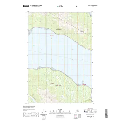 2021 Juneau A-2 NE2021 Print · USGSDouglas Island and the southern waters near Juneau are shown here in the early twenty-first century, before the city's suburban footprint reached these rugged shores. Trace coastal landforms from Ready Bullion Beach to the interior North Young To South Young Trail.
Showing maps 1-25 of 94
Top cities of Juneau
Frequently asked questions
- What are the different types of historical maps available for Juneau?
- What is the oldest map of Juneau?
- Where can I purchase historical maps of Juneau for my home or office?
- Where can I download high-res historical maps of Juneau?
- Are there historical topographic maps available for Juneau?
- Is there historical aerial imagery available for Juneau?
- Where are historical maps of Juneau sourced from?