Old Maps of Big Delta, Alaska for Academic Research
Study the evolution of Big Delta with 8 high-resolution historic maps. Whether you're teaching, researching, or modeling changes in land use, these maps provide essential visual documentation of urban, environmental, and geographic change.
- Analyze long-term change: Track patterns in development, transportation, and natural features.
- Ideal for environmental or urban studies: Support academic projects with primary historical map data.
- Use in the classroom or lab: Educators and researchers rely on these maps to bring historical context to life.
These maps are a powerful tool for teaching, research, and visualizing how Big Delta has changed over the decades.
Big Delta, AK maps
(8)- 1950 Map of Big Delta, 1956 Print
 1950 Big Delta1956 Print · USGSAlaska's interior corridors reveal a landscape of military outposts and river-valley lodges in the mid-twentieth century. Trace historic routes along the Richardson Highway to find Big Delta, Fort Greely, and Shaw Creek Lodge.2 unique versions available
 - 1950 Map of Big Delta A-4, 1963 Print
 1950 Big Delta A-41963 Print · USGSIn the mid-century Alaskan interior, this survey shows the strategic growth of Delta Junction at the intersection of two major highways. Local historians can trace the early footprint of Fort Greely and locate sites like the abandoned Big Delta and Jollys Cabins.4 unique versions available
 - 1951 Map of Big Delta
 1951 Big Delta1951 Print · USGSThe interior of Alaska is captured at a critical junction during the post-war era as the highway system expanded. Genealogists and historians can trace early roadside landmarks like Aurora Lodge, Tenderfoot, and the original settlement layout of Big Delta.4 unique versions available
 - 1952 Map of Big Delta A-4
 1952 Big Delta A-41952 Print · USGSSoutheast Fairbanks during the early fifties shows a landscape in transition as highway intersections began to supersede river outposts. Genealogists and historians can trace the foundations of Delta Junction and locate early sites like Bert & Marys Roadhouse and Big Delta (Aband).2 unique versions available
 - 1958 Map of Big Delta, 1966 Print
 1958 Big Delta1966 Print · USGSInterior Alaska at the height of the mid-century expansion reveals a landscape of strategic military outposts and remote river settlements. Trace the junction of the Tanana River and the Richardson Highway near Big Delta and the Healy Lake Indian Village.6 unique versions available
 - 1959 Map of Big Delta A-4, 1960 Print
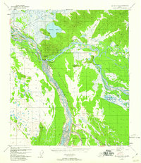 1959 Big Delta A-41960 Print · USGSInterior Alaska at the junction of the Tanana and Delta Rivers is captured here during the mid-twentieth century. Researchers can locate landmarks like Bert & Marys Roadhouse and Buffalo Center or trace the early footprint of Fort Greeley.
 - 1962 Map of Big Delta A-4, 1963 Print
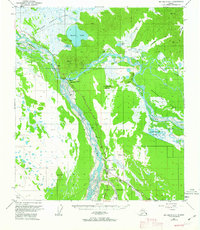 1962 Big Delta A-41963 Print · USGSSoutheast Fairbanks in the early sixties reveals a landscape shaped by glacial rivers and the intersection of the Richardson and Alaska Highways. Researchers can locate the footprint of Fort Greely or trace the early paths of the Winter Trail and Jollys Cabins.
 - 2016 Map of Big Delta A-4 NW, 2016 Print
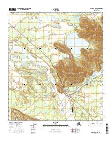 2016 Big Delta A-4 NW2016 Print · USGSInterior Alaska near the Delta-Tanana confluence is shown here in the mid-2010s, capturing a landscape where industry and wilderness intersect. Researchers can trace the path of the Alaska Pipeline past Whitestone or locate remote airstrips like Arctic Angel Airport.
End of results
Showing maps 1-8 of 8
Top cities near Big Delta
Frequently asked questions
- What are the different types of historical maps available for Big Delta?
- What is the oldest map of Big Delta?
- Where can I purchase historical maps of Big Delta for my home or office?
- Where can I download high-res historical maps of Big Delta?
- Are there historical topographic maps available for Big Delta?
- Is there historical aerial imagery available for Big Delta?
- Where are historical maps of Big Delta sourced from?