
1950 Map of Big Delta A-4
USGS Topo · Published 1963About this map
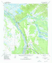
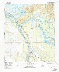
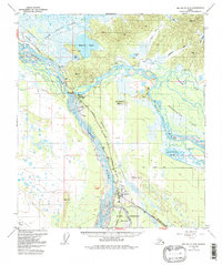
Delta Junction serves as the focal point of this 1950s landscape, marking the significant junction where the Richardson Highway meets the Alaska Highway. This survey captures the region during a period of transition, noting the original Big Delta as abandoned while documenting the establishment of Fort Greely and the Big Delta Airport to the south. The terrain is defined by the massive braided channels of the Tanana River and Delta River, which converge amidst a complex network of wetlands and sloughs. To the north and east, the map details more remote outposts and natural features, including Jollys Cabins along the Goodpaster River and the expansive Shaw Creek Flats. The presence of several landing strips and a Winter Trail highlights the vital role of specialized transportation in navigating the interior Alaskan wilderness.
Find a feature on this map
27 named features on this map. Tap any name to fly to it.
Don’t see what you’re looking for? This feature index may not catch every label — zoom into the map to look around manually.
Map Details
Editions of this 1950 Big Delta A-4 Map
4 editions found
Other maps of this area

1949 · Big Delta B-5
USGS Topo · 1:63,360

1950 · Mount Hayes
USGS Topo · 1:250,000

1950 · Big Delta
USGS Topo · 1:250,000

1950 · Big Delta A-5
USGS Topo · 1:63,360

1950 · Mount Hayes D-4
USGS Topo · 1:63,360

1950 · Mount Hayes D-5
USGS Topo · 1:63,360

1950 · Big Delta B-4
USGS Topo · 1:63,360

1951 · Big Delta
USGS Topo · 1:250,000

1951 · Mount Hayes
USGS Topo · 1:250,000

1952 · Mount Hayes D-5
USGS Topo · 1:63,360