
1950 Map of Big Delta A-5
USGS Topo · Published 1960About this map
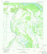
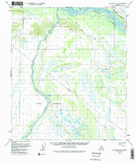
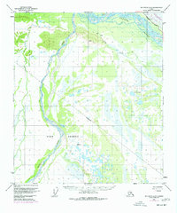
The Tanana River and Delta Creek dominate this Alaskan interior landscape at the midpoint of the twentieth century. This survey, compiled from 1949 aerial photography and 1950 field annotations, documents the critical transit corridor where the Richardson Highway cuts through the northeast corner of the quadrangle. Along this route, markers such as Mile 286 indicate the measured distance on the territory's primary overland artery. Away from the highway, the terrain is characterized by intricate drainage patterns and small seasonal outposts. Isolated Cabins and a lone Cabin are plotted along the banks of Clear Creek, serving as rare evidence of human habitation in the vast wetlands and brush-covered flats that lie between the braided river channels.
Find a feature on this map
7 named features on this map. Tap any name to fly to it.
Don’t see what you’re looking for? This feature index may not catch every label — zoom into the map to look around manually.
Map Details
Editions of this 1950 Big Delta A-5 Map
4 editions found
Other maps of this area

1949 · Big Delta B-5
USGS Topo · 1:63,360

1949 · Big Delta B-6
USGS Topo · 1:63,360

1949 · Big Delta A-6
USGS Topo · 1:63,360

1950 · Mount Hayes
USGS Topo · 1:250,000

1950 · Big Delta
USGS Topo · 1:250,000

1950 · Mount Hayes D-4
USGS Topo · 1:63,360

1950 · Big Delta A-4
USGS Topo · 1:63,360

1950 · Mount Hayes D-6
USGS Topo · 1:63,360

1950 · Mount Hayes D-5
USGS Topo · 1:63,360

1950 · Big Delta B-4
USGS Topo · 1:63,360