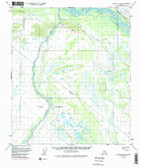
1950 Map of Big Delta A-5
USGS Topo · Published 1977About this map
Fort Greely anchors the southern portion of this mid-century Alaskan landscape, marking a period of significant military and infrastructure development in the Interior. The confluence of the Tanana River and Delta Creek dominates the hydrology, while the Richardson Highway provides the primary corridor for movement. This edition is particularly notable for capturing a major transition in American energy history, showing the Trans-Alaska Pipeline while it was still under construction, running parallel to the existing Military Pipeline. Remote Cabins and a lone Cabin near Clear Creek provide evidence of early habitation amidst the wetlands and lakes, such as Rainbow Lake. Survey markers like VABM 1579 Top and its counterpart VABM 1579 Low document the precise work of the U.S. Geological Survey during this era of northern expansion.
Find a feature on this map
12 named features on this map. Tap any name to fly to it.
Don’t see what you’re looking for? This feature index may not catch every label — zoom into the map to look around manually.
Map Details
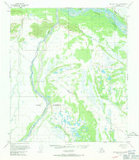
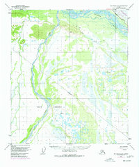
Editions of this 1950 Big Delta A-5 Map
4 editions found
Other maps of this area

1949 · Big Delta B-5
USGS Topo · 1:63,360

1949 · Big Delta B-6
USGS Topo · 1:63,360

1949 · Big Delta A-6
USGS Topo · 1:63,360

1950 · Mount Hayes
USGS Topo · 1:250,000

1950 · Big Delta
USGS Topo · 1:250,000

1950 · Big Delta A-5
USGS Topo · 1:63,360

1950 · Mount Hayes D-4
USGS Topo · 1:63,360

1950 · Big Delta A-4
USGS Topo · 1:63,360

1950 · Mount Hayes D-6
USGS Topo · 1:63,360

1950 · Mount Hayes D-5
USGS Topo · 1:63,360