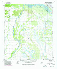
1950 Map of Big Delta A-5
USGS Topo · Published 1977About this map
Fort Greely dominates this interior Alaska landscape at the confluence of glacial waters and major transport corridors. Originally mapped in 1950, this edition includes purple revisions from 1975 that capture the massive infrastructure push of the mid-century. Most prominent is the presence of The Trans-Alaska Pipeline (under construction) running parallel to the Richardson Highway and a Military Pipeline. The braiding channels of the Tanana River and Delta Creek create a complex network of wetlands and shifting sandbars, characteristic of the region's dynamic hydrology. Isolated Cabins near Clear Creek and landmarks like Vabm 1579 Top serve as essential reference points in this expansive territory of the Fairbanks Meridian. The transition from early Cold War military development to the modern energy era is clearly documented in the overlaid layers of pipeline and highway infrastructure.
Find a feature on this map
14 named features on this map. Tap any name to fly to it.
Don’t see what you’re looking for? This feature index may not catch every label — zoom into the map to look around manually.
Map Details
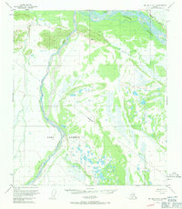
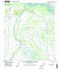
Editions of this 1950 Big Delta A-5 Map
4 editions found
Other maps of this area

1949 · Big Delta B-5
USGS Topo · 1:63,360

1949 · Big Delta B-6
USGS Topo · 1:63,360

1949 · Big Delta A-6
USGS Topo · 1:63,360

1950 · Mount Hayes
USGS Topo · 1:250,000

1950 · Big Delta
USGS Topo · 1:250,000

1950 · Big Delta A-5
USGS Topo · 1:63,360

1950 · Mount Hayes D-4
USGS Topo · 1:63,360

1950 · Big Delta A-4
USGS Topo · 1:63,360

1950 · Mount Hayes D-6
USGS Topo · 1:63,360

1950 · Mount Hayes D-5
USGS Topo · 1:63,360