Old Maps of Copperville, Alaska for Academic Research
Study the evolution of Copperville with 8 high-resolution historic maps. Whether you're teaching, researching, or modeling changes in land use, these maps provide essential visual documentation of urban, environmental, and geographic change.
- Analyze long-term change: Track patterns in development, transportation, and natural features.
- Ideal for environmental or urban studies: Support academic projects with primary historical map data.
- Use in the classroom or lab: Educators and researchers rely on these maps to bring historical context to life.
These maps are a powerful tool for teaching, research, and visualizing how Copperville has changed over the decades.
Copperville, AK maps
(8)- 1949 Map of Gulkana A-3, 1959 Print
 1949 Gulkana A-31959 Print · USGSThe Copper River valley in the late 1940s served as a vital junction for interior Alaska's highway and air travel. Researchers can trace the early layout of Gulkana Airfield and find historic roadside stops like Gateway Lodge and the C A A Station.4 unique versions available
 - 1951 Map of Gulkana
 1951 Gulkana1951 Print · USGSThe Copper River basin comes alive in the early fifties as the highway system begins to reshape the Alaskan interior. Genealogists and historians can trace pioneer outposts from Ryans Roadhouse to Sourdough, alongside major landmarks like Lake Louise.4 unique versions available
 - 1952 Map of Gulkana A-3
 1952 Gulkana A-31952 Print · USGSThe Copper River basin in the early fifties shows a landscape of vital highway junctions and remote outposts. Trace the early routes of the Richardson Highway and Glenn Highway past Gateway Lodge and the Gulkana Airfield.2 unique versions available
 - 1959 Map of Gulkana, 1964 Print
 1959 Gulkana1964 Print · USGSThe Copper River Basin and the Wrangell Mountains meet in the late 1950s at the vital junction of the Richardson and Glenn Highways. Researchers can trace the development of early settlements and travel stops like Tyone Village, Gulkana, and Tazlina Lake Lodge.7 unique versions available
 - 1965 Map of Gulkana
 1965 Gulkana1965 Print · USGSInterior Alaska's river valleys and mountain peaks are captured here in the mid-1960s as the highway system connected the wilderness. Researchers can trace the layout of early settlements and junctions like Gakona Junction, Tazlina, and the remote Tyone Village.
 - 2016 Map of Gulkana A-3 SW, 2016 Print
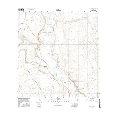 2016 Gulkana A-3 SW2016 Print · USGSThe copper-rich river valleys of the Unorganized Borough are captured here in the mid-2010s. You can trace the path of the Alaska Pipeline as it mirrors the Richardson Highway past settlements like Copperville and Tazlina.
 - 2019 Map of Gulkana A-3 SW, 2019 Print
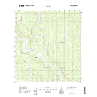 2019 Gulkana A-3 SW2019 Print · USGSThe Copper Valley crossroads come into focus in 2019, showing where major highways and the pipeline meet the glacial waters. You can trace local road networks and settlement patterns in Tazlina, Copperville, and near the Wrangell-St. Elias National Preserve.
 - 2023 Map of Gulkana A-3 SW, 2023 Print
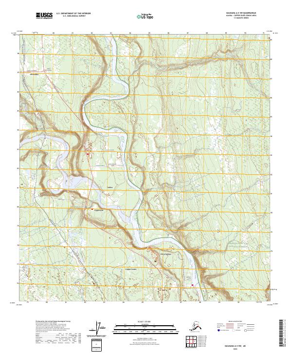 2023 Gulkana A-3 SW2023 Print · USGSThe confluence of the Copper and Tazlina rivers serves as a major transportation hub in the early twenty-first century. Researchers can trace the path of the Alaska Pipeline and the residential growth around Glennallen, Copperville, and Copper Center.
End of results
Showing maps 1-8 of 8
Top cities near Copperville
Frequently asked questions
- What are the different types of historical maps available for Copperville?
- What is the oldest map of Copperville?
- Where can I purchase historical maps of Copperville for my home or office?
- Where can I download high-res historical maps of Copperville?
- Are there historical topographic maps available for Copperville?
- Is there historical aerial imagery available for Copperville?
- Where are historical maps of Copperville sourced from?