
1951 Map of Gulkana
USGS Topo · Published 1951About this map
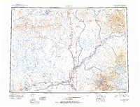
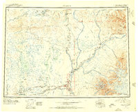
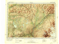
Lake Louise and the interconnected waters of Susitna Lake and Tyone Lake anchor the western portion of this Alaskan interior landscape, a region defined by its reliance on early lodge and roadhouse culture. The map documents the critical junction where the Richardson Highway meets the Glenn Highway, centering on the burgeoning settlement of Glennallen. This intersection serves as a hub for scattered wilderness outposts like Sourdough, Poplar Grove, and Big Timber.
Find a feature on this map
93 named features on this map. Tap any name to fly to it.
Don’t see what you’re looking for? This feature index may not catch every label — zoom into the map to look around manually.
Map Details
Editions of this 1951 Gulkana Map
4 editions found
Other maps of this area

1948 · Tanacross A-6
USGS Topo · 1:63,360

1948 · Nabesna C-6
USGS Topo · 1:63,360

1948 · Valdez D-5
USGS Topo · 1:63,360

1948 · Anchorage D-1
USGS Topo · 1:63,360

1949 · Tanacross
USGS Topo · 1:250,000

1949 · Mount Hayes A-4
USGS Topo · 1:63,360

1949 · Gulkana A-3
USGS Topo · 1:63,360

1949 · Gulkana A-5
USGS Topo · 1:63,360

1949 · Talkeetna Mountains A-1
USGS Topo · 1:63,360

1949 · Gulkana C-2
USGS Topo · 1:63,360