2000s (21st Century) Maps of Wrangell, Alaska
Explore 199 historic maps of Wrangell from the 2000s (21st Century). These maps offer a rare glimpse into what life looked like during the 2000s — showing old roads, neighborhoods, homes, and landmarks that have changed or disappeared over time.
Whether you're researching your family's past, planning a metal detecting trip, or studying how Wrangell's landscape evolved across the 2000s, these high-resolution maps are a powerful tool for exploring the history of this region.
- Focus on a specific era: All maps on this page are from the 2000s, giving you a focused view of this time period.
- See what’s changed: Compare century-old streets, trails, and buildings to today's modern landscape using overlays and satellite layers.
- Research with precision: Use these maps for genealogy, historical research, land use analysis, or educational projects.
- View, download, or print: Maps are fully viewable online in high resolution, and can be downloaded or printed for your own records.
Start exploring Wrangell's history through authentic maps from the 2000s. This is your window into the past.
Wrangell, AK maps
(199)- 2000 Map of Ketchikan D-6, 2003 Print
 2000 Ketchikan D-62003 Print · USGSCoastal Alaska at the turn of the millennium reveals a landscape of deep fjords and isolated forest outposts within the Tongass National Forest. Researchers can trace old maritime infrastructure from the Lighthouse Reserve to the Fish Hatchery (Aband) and wilderness shelters on Lake Mc Donald.
 - 2000 Map of Petersburg D-1, 2003 Print
 2000 Petersburg D-12003 Print · USGSSoutheast Alaska at the turn of the millennium reveals a landscape defined by massive ice fields and the international border. Researchers can trace the jagged boundaries of the Sitkine - Le Conte Wilderness or locate peaks like Mount Pratt and Castle Mountain.
 - 2000 Map of Craig D-1, 2003 Print
 2000 Craig D-12003 Print · USGSSoutheast Alaska’s coastal wilderness comes into focus at the turn of the millennium, documenting the maritime landscape between Etolin Island and the Cleveland Peninsula. Researchers can trace historic industrial sites such as a Cannery (Aband) and Ruins near the mouth of Cannery Creek.
 - 2000 Map of Bradfield Canal B-6, 2003 Print
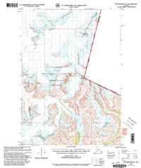
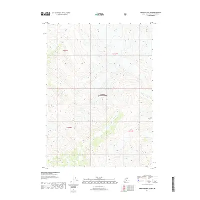
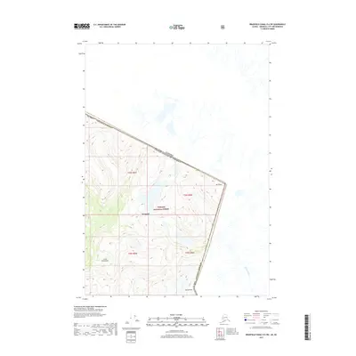
 2000 Bradfield Canal B-62003 Print · USGSSoutheast Alaska at the turn of the century reveals a maritime wilderness of deep channels and glacial peaks near Wrangell. Researchers can trace remote Forest Service assets like Marten Lake Cabin (FS) and coastal landmarks from Capel Pt to Nelson Glacier.
 - 2000 Map of Bradfield Canal A-6, 2003 Print
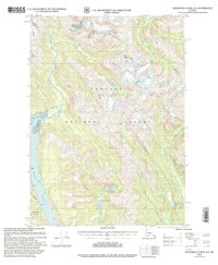
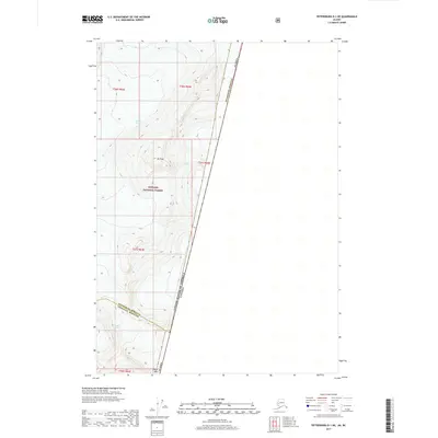
 2000 Bradfield Canal A-62003 Print · USGSThe wilderness of Southeast Alaska is captured here at the turn of the millennium, centering on the waterways of the Tongass National Forest. Researchers can locate remote Forest Service outposts including the Anan Bear Observatory (FS) and Frosty Bay Cabin (FS).
 - 2017 Map of Ketchikan C-6 NW, 2017 Print
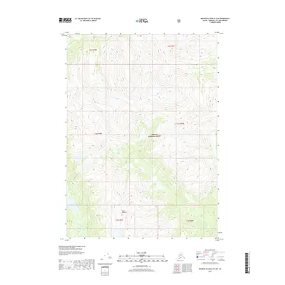
 2017 Ketchikan C-6 NW2017 Print · USGSCovers Wrangell, including Ketchikan Gateway, United States, and other nearby areas
 - 2017 Map of Ketchikan D-6 NW, 2017 Print
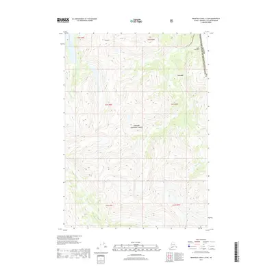
 2017 Ketchikan D-6 NW2017 Print · USGSCovers Wrangell, including Ketchikan Gateway, United States, and other nearby areas
 - 2017 Map of Ketchikan D-6 SW, 2017 Print
 2017 Ketchikan D-6 SW2017 Print · USGSCovers Wrangell, including Ketchikan Gateway, United States, and other nearby areas
 - 2017 Map of Craig D-1 SE, 2017 Print
 2017 Craig D-1 SE2017 Print · USGSCovers Wrangell, including Ketchikan Gateway, United States, and other nearby areas
 - 2017 Map of Bradfield Canal B-5 SW, 2017 Print
 2017 Bradfield Canal B-5 SW2017 Print · USGSCovers Wrangell, including United States, Alaska, and other nearby areas
 - 2017 Map of Bradfield Canal B-4 NE, 2017 Print
 2017 Bradfield Canal B-4 NE2017 Print · USGSCovers Wrangell, including Area D (Iskut/Big Raven), Area A (Nass Valley/Bell Irving), and other nearby areas
 - 2017 Map of Bradfield Canal B-4 SE, 2017 Print
 2017 Bradfield Canal B-4 SE2017 Print · USGSCovers Wrangell, including Ketchikan Gateway, United States, and other nearby areas
 - 2017 Map of Bradfield Canal A-4 NW, 2017 Print
 2017 Bradfield Canal A-4 NW2017 Print · USGSCovers Wrangell, including Ketchikan Gateway, United States, and other nearby areas
 - 2017 Map of Craig D-1 SW, 2017 Print
 2017 Craig D-1 SW2017 Print · USGSCovers Wrangell, including Unorganized Borough, Prince of Wales-Hyder, and other nearby areas
 - 2017 Map of Bradfield Canal B-6 SE, 2017 Print
 2017 Bradfield Canal B-6 SE2017 Print · USGSCovers Wrangell, including United States, Alaska, and other nearby areas
 - 2017 Map of Bradfield Canal C-6 SW, 2017 Print
 2017 Bradfield Canal C-6 SW2017 Print · USGSCovers Wrangell, including Area D (Iskut/Big Raven), Regional District of Kitimat-Stikine, and other nearby areas
 - 2017 Map of Craig D-1 NE, 2017 Print
 2017 Craig D-1 NE2017 Print · USGSCovers Wrangell, including United States, Alaska, and other nearby areas
 - 2017 Map of Bradfield Canal B-5 NE, 2017 Print
 2017 Bradfield Canal B-5 NE2017 Print · USGSCovers Wrangell, including United States, Alaska, and other nearby areas
 - 2017 Map of Bradfield Canal B-5 NW, 2017 Print
 2017 Bradfield Canal B-5 NW2017 Print · USGSCovers Wrangell, including United States, Alaska, and other nearby areas
 - 2017 Map of Petersburg D-1 SW, 2017 Print
 2017 Petersburg D-1 SW2017 Print · USGSCovers Wrangell, including Petersburg Borough, United States, and other nearby areas
 - 2017 Map of Bradfield Canal C-5 SW, 2017 Print
 2017 Bradfield Canal C-5 SW2017 Print · USGSCovers Wrangell, including Area D (Iskut/Big Raven), Regional District of Kitimat-Stikine, and other nearby areas
 - 2017 Map of Bradfield Canal A-6 NE, 2017 Print
 2017 Bradfield Canal A-6 NE2017 Print · USGSCovers Wrangell, including United States, Alaska, and other nearby areas
 - 2017 Map of Bradfield Canal A-5 SE, 2017 Print
 2017 Bradfield Canal A-5 SE2017 Print · USGSCovers Wrangell, including Ketchikan Gateway, United States, and other nearby areas
 - 2017 Map of Bradfield Canal D-6 SW, 2017 Print
 2017 Bradfield Canal D-6 SW2017 Print · USGSCovers Wrangell, including Area D (Iskut/Big Raven), Regional District of Kitimat-Stikine, and other nearby areas
 - 2017 Map of Petersburg D-1 NE, 2017 Print
 2017 Petersburg D-1 NE2017 Print · USGSCovers Wrangell, including Area D (Iskut/Big Raven), Petersburg Borough, and other nearby areas
Showing maps 1-25 of 199
Top cities of Wrangell
Frequently asked questions
- What are the different types of historical maps available for Wrangell?
- What is the oldest map of Wrangell?
- Where can I purchase historical maps of Wrangell for my home or office?
- Where can I download high-res historical maps of Wrangell?
- Are there historical topographic maps available for Wrangell?
- Is there historical aerial imagery available for Wrangell?
- Where are historical maps of Wrangell sourced from?