2010s Maps of Wrangell, Alaska
Explore 86 historic maps of Wrangell from the 2010s. These maps offer a rare glimpse into what life looked like during the 2010s — showing old roads, neighborhoods, homes, and landmarks that have changed or disappeared over time.
Whether you're researching your family's past, planning a metal detecting trip, or studying how Wrangell's landscape evolved across the 2010s, these high-resolution maps are a powerful tool for exploring the history of this region.
- Focus on a specific era: All maps on this page are from the 2010s, giving you a focused view of this time period.
- See what’s changed: Compare century-old streets, trails, and buildings to today's modern landscape using overlays and satellite layers.
- Research with precision: Use these maps for genealogy, historical research, land use analysis, or educational projects.
- View, download, or print: Maps are fully viewable online in high resolution, and can be downloaded or printed for your own records.
Start exploring Wrangell's history through authentic maps from the 2010s. This is your window into the past.
Wrangell, AK maps
(86)- 2017 Map of Ketchikan C-6 NW, 2017 Print
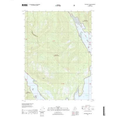 2017 Ketchikan C-6 NW2017 Print · USGSThe wilderness of the Cleveland Peninsula is captured here in the early twenty-first century, showing the intersection of coastal inlets and protected forest. Researchers can trace the rugged shoreline and natural landmarks such as Port Stewart, Helm Bay, and Raymond Cove.
 - 2017 Map of Ketchikan D-6 NW, 2017 Print
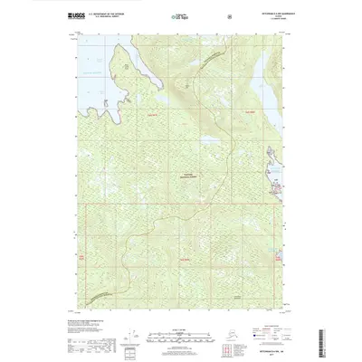 2017 Ketchikan D-6 NW2017 Print · USGSThe coastal wilderness of the Alexander Archipelago is mapped in detail here during the late twenty-first century. Researchers and maritime historians can trace the intricate shoreline from Point Santa Anna to Sunny Bay and locate inland waters like Lake McDonald.
 - 2017 Map of Ketchikan D-6 SW, 2017 Print
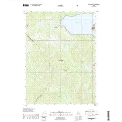 2017 Ketchikan D-6 SW2017 Print · USGSThe coastal wilderness of Southeast Alaska is captured here in the late 2010s, where the Tongass National Forest meets the sea. Researchers can trace the rugged shoreline from Spacious Bay to Square Island and follow the paths of Wasta Cr and Hofstad Cr through the dense timber.
 - 2017 Map of Craig D-1 SE, 2017 Print
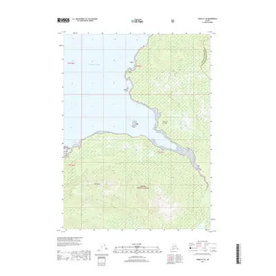 2017 Craig D-1 SE2017 Print · USGSThe coastal wilderness of Wrangell is documented here in the early twenty-first century, showcasing the intersection of the Tongass National Forest and the sea. Trace the maritime landscape from Mt Burnett down to the shores of Vixen Inlet and Cannery Cr.
 - 2017 Map of Bradfield Canal B-5 SW, 2017 Print
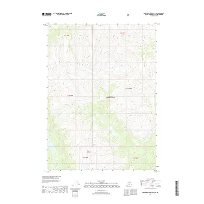 2017 Bradfield Canal B-5 SW2017 Print · USGSSoutheast Alaska's glacial wilderness remains largely untouched in the late twenty-first century, defined by high peaks and river drainage. Map collectors and researchers can trace the paths of the Harding River and White River or locate Fall Lake at the base of the Kapho Mountains.
 - 2017 Map of Bradfield Canal B-4 NE, 2017 Print
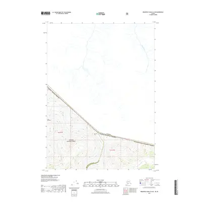 2017 Bradfield Canal B-4 NE2017 Print · USGSThe international border between Alaska and British Columbia is traced through this 2017 survey of the high wilderness. Researchers can follow the alpine drainage of Olatine Creek and find the location of Mt Lewis Cass along the United States-Canada boundary.
 - 2017 Map of Bradfield Canal B-4 SE, 2017 Print
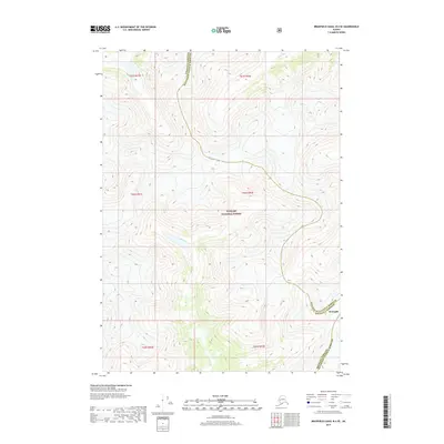 2017 Bradfield Canal B-4 SE2017 Print · USGSSoutheast Alaska in the early twenty-first century remains a landscape of high peaks and administrative boundaries. Researchers can trace the border between Wrangell Borough and Ketchikan Gateway Borough near the Blue River.
 - 2017 Map of Bradfield Canal A-4 NW, 2017 Print
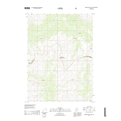 2017 Bradfield Canal A-4 NW2017 Print · USGSThe southeast Alaskan interior is captured in this 2017 survey, showcasing the high-elevation terrain of the Coast Mountains. Researchers can trace the winding boundary of Wrangell Borough through the vast Tongass National Forest.
 - 2017 Map of Craig D-1 SW, 2017 Print
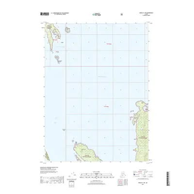 2017 Craig D-1 SW2017 Print · USGSThe remote coastal reaches of Southeast Alaska are captured here in the late 2010s, showcasing the intricate shoreline of the Tongass National Forest. Researchers can trace maritime landmarks from Lemesurier Point to Misery Island and the waters of Union Bay.
 - 2017 Map of Bradfield Canal B-6 SE, 2017 Print
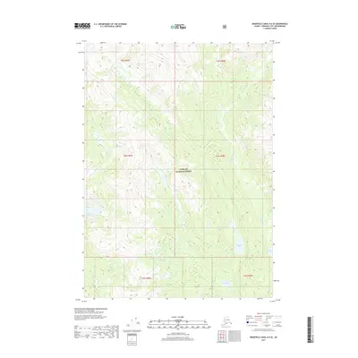 2017 Bradfield Canal B-6 SE2017 Print · USGSSoutheast Alaska’s coastal wilderness is captured in the late twenty-tens, revealing a landscape of remote glacial valleys. Researchers can map the hydrologic connections between Harding River, Upper Marten Lake, and Tom Lake within the Tongass National Forest.
 - 2017 Map of Bradfield Canal C-6 SW, 2017 Print
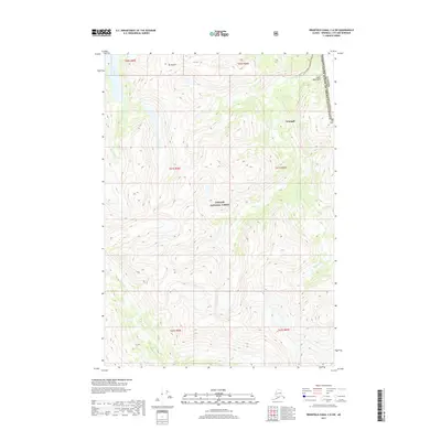 2017 Bradfield Canal C-6 SW2017 Print · USGSThe international border between Alaska and British Columbia is traced through these coastal peaks in the late twenty-first century. Adventurers and researchers can map the glaciated drainage of the Kikahe River and summits like Mt Flemer and Mt Cote.
 - 2017 Map of Craig D-1 NE, 2017 Print
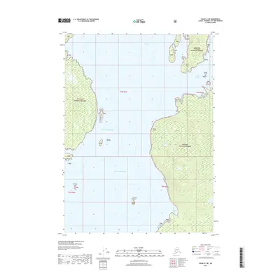 2017 Craig D-1 NE2017 Print · USGSSoutheast Alaska’s maritime wilderness is mapped here in the late twenty-first century as part of the Tongass National Forest. Researchers can trace the rocky shorelines of Deer Island and locate remote navigational points such as Watkins Point and Point Peters.
 - 2017 Map of Bradfield Canal B-5 NE, 2017 Print
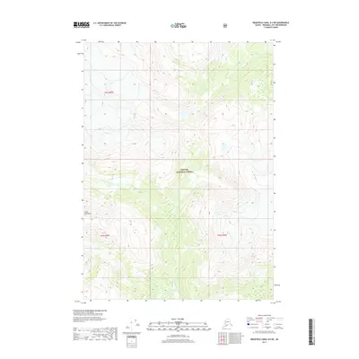 2017 Bradfield Canal B-5 NE2017 Print · USGSSoutheast Alaska's wilderness within the Tongass National Forest is captured here in the late twenty-first century. Researchers can trace the rugged drainages of the S Fork Craig River and N Fork Bradfield River through the Coast Mountains.
 - 2017 Map of Bradfield Canal B-5 NW, 2017 Print
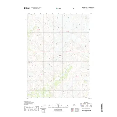 2017 Bradfield Canal B-5 NW2017 Print · USGSSoutheast Alaska’s coastal wilderness is mapped here during the late twenty-first century. Researchers can trace the path of the Harding River as it winds through the Coast Mountains within the Tongass National Forest.
 - 2017 Map of Petersburg D-1 SW, 2017 Print
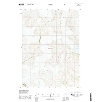 2017 Petersburg D-1 SW2017 Print · USGSThe glaciated peaks of Southeast Alaska are captured here during the late twenty-tens, showing the ice-carved divide between two coastal boroughs. Geologists and researchers can trace the extent of the LeConte Glacier and the Shakes Glacier as they flow through the Tongass National Forest.
 - 2017 Map of Bradfield Canal C-5 SW, 2017 Print
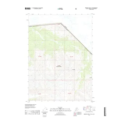 2017 Bradfield Canal C-5 SW2017 Print · USGSThe international border between Alaska and British Columbia is traced through the high peaks of the Coast Mountains in 2017. Researchers can follow the Katete River drainage from Tongass National Forest up to Mt Whipple along the Canadian line.
 - 2017 Map of Bradfield Canal A-6 NE, 2017 Print
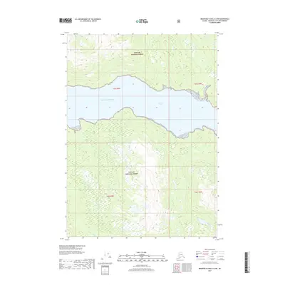 2017 Bradfield Canal A-6 NE2017 Print · USGSThe coastal wilderness of Wrangell City and Borough is documented here during the early twenty-first century. Researchers can trace the steep drainage basins of East Fork Anan Creek and Gray Creek as they flow into the Bradfield Canal.
 - 2017 Map of Bradfield Canal A-5 SE, 2017 Print
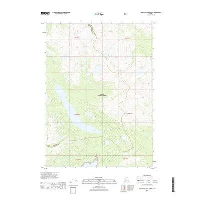 2017 Bradfield Canal A-5 SE2017 Print · USGSSoutheast Alaska's coastal wilderness remains largely untouched in the years before the 2020s, showing a land of deep glacial lakes and tidal inlets. Researchers can trace the remote boundary between Wrangell Borough and Ketchikan Gateway Borough near Eagle Lake and Bell Arm.
 - 2017 Map of Bradfield Canal D-6 SW, 2017 Print
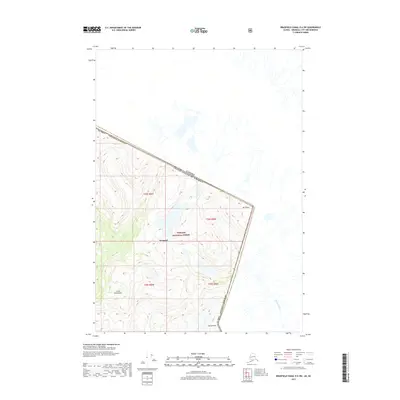 2017 Bradfield Canal D-6 SW2017 Print · USGSThe international boundary between Alaska and British Columbia is documented here in the late twenty-tens, showing the high-altitude wilderness of the Coast Mountains. Researchers can trace the border line across peaks like Mt Talbot and Mt Gallatin or follow the course of the Tasakih River.
 - 2017 Map of Petersburg D-1 NE, 2017 Print
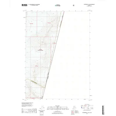 2017 Petersburg D-1 NE2017 Print · USGSThe international boundary meets the ice fields of Southeast Alaska in the years before the most recent glacial shifts. Researchers can trace the massive spans of LeConte Glacier and Great Glacier alongside landmarks like Mt Pratt.
 - 2017 Map of Bradfield Canal A-5 SW, 2017 Print
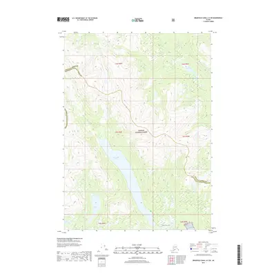 2017 Bradfield Canal A-5 SW2017 Print · USGSSoutheast Alaska's coastal wilderness is captured here in the years following the millennium, showing a landscape of deep lakes and forest. Researchers can trace the drainages of Reflection Lake and Lake Nellie or locate the boundary of the Tongass National Forest.
 - 2017 Map of Bradfield Canal A-6 SW, 2017 Print
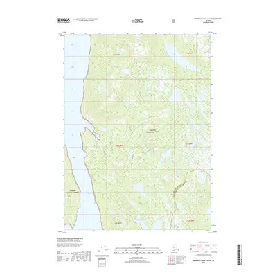 2017 Bradfield Canal A-6 SW2017 Print · USGSCoastal wilderness in the Wrangell area appears in high detail during the early twenty-first century. Researchers can trace the maritime geography of Seward Passage and find secluded landmarks like Golden Pond and Deer Island.
 - 2017 Map of Craig D-2 SW, 2017 Print
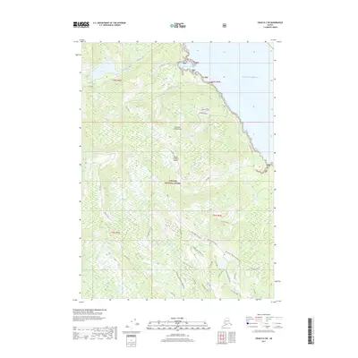 2017 Craig D-2 SW2017 Print · USGSPrince of Wales Island's coastal wilderness and forest infrastructure are detailed in this 2017 survey of the Tongass National Forest. Trace the landscape from Little Ratz Harbor to the interior along 3000270 Road and Gravelly Creek.
 - 2017 Map of Bradfield Canal A-6 NW, 2017 Print
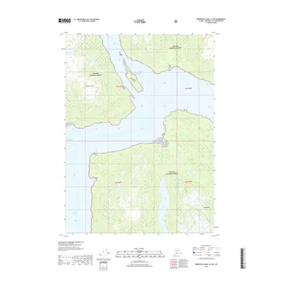 2017 Bradfield Canal A-6 NW2017 Print · USGSSoutheast Alaska in the late twenty-teens is defined by its deep fjords and temperate rainforests. You can trace the Anan Creek Trail through the Tongass National Forest and locate the sheltered waters of Anan Bay and Blake Channel.
 - 2017 Map of Bradfield Canal B-6 SW, 2017 Print
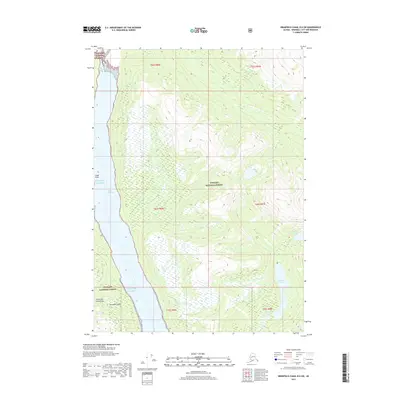 2017 Bradfield Canal B-6 SW2017 Print · USGSCoastal rainforest and deep saltwater channels define this part of the Alexander Archipelago during the early twenty-first century. Boaters and researchers can trace the intricate shoreline from Capel Point along Blake Channel to freshwater landmarks like Marten Lake.
Showing maps 1-25 of 86
Top cities of Wrangell
Frequently asked questions
- What are the different types of historical maps available for Wrangell?
- What is the oldest map of Wrangell?
- Where can I purchase historical maps of Wrangell for my home or office?
- Where can I download high-res historical maps of Wrangell?
- Are there historical topographic maps available for Wrangell?
- Is there historical aerial imagery available for Wrangell?
- Where are historical maps of Wrangell sourced from?