2020s Maps of Wrangell, Alaska
Explore 108 historic maps of Wrangell from the 2020s. These maps offer a rare glimpse into what life looked like during the 2020s — showing old roads, neighborhoods, homes, and landmarks that have changed or disappeared over time.
Whether you're researching your family's past, planning a metal detecting trip, or studying how Wrangell's landscape evolved across the 2020s, these high-resolution maps are a powerful tool for exploring the history of this region.
- Focus on a specific era: All maps on this page are from the 2020s, giving you a focused view of this time period.
- See what’s changed: Compare century-old streets, trails, and buildings to today's modern landscape using overlays and satellite layers.
- Research with precision: Use these maps for genealogy, historical research, land use analysis, or educational projects.
- View, download, or print: Maps are fully viewable online in high resolution, and can be downloaded or printed for your own records.
Start exploring Wrangell's history through authentic maps from the 2020s. This is your window into the past.
Wrangell, AK maps
(108)- 2021 Map of Petersburg A-2 NE, 2021 Print
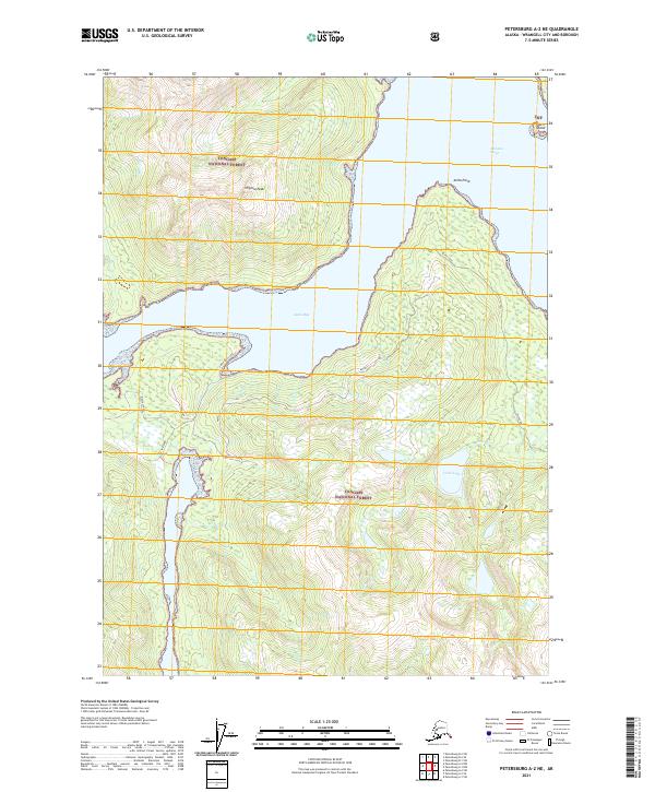 2021 Petersburg A-2 NE2021 Print · USGSCoastal Wrangell, Alaska, is captured here in the early twenty-first century as a landscape of deep fjords and forest peaks. Maritime researchers and locals can trace land-to-water points like E. Shipyard, Anita Point, and the shoreline of Anita Bay.
 - 2021 Map of Petersburg A-2 NW, 2021 Print
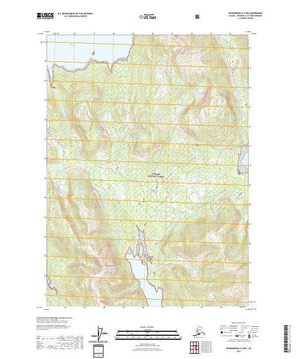 2021 Petersburg A-2 NW2021 Print · USGSSoutheast Alaska's coastal wilderness comes into focus during the early twenty-first century as modern surveys map these remote inlets and ridges. Researchers can trace land management routes like Fishtrap and identify landmarks from Alice Peak to Kindergarten Bay.
 - 2021 Map of Petersburg D-1 SW, 2021 Print
 2021 Petersburg D-1 SW2021 Print · USGSSoutheast Alaska's maritime wilderness is documented here during the early 2020s, showcasing the intersection of the Tongass National Forest and glacial waters. Researchers can trace the boundary of Petersburg Borough and Wrangell City and Borough as it traverses the heights above Shakes Lake.
 - 2021 Map of Craig D-3 NE, 2021 Print
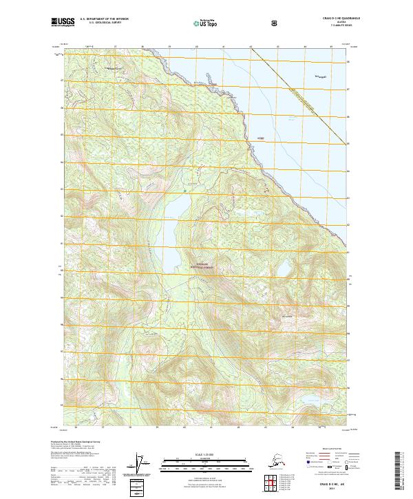 2021 Craig D-3 NE2021 Print · USGSCoastal timberlands and the settlement of Coffman Cove are the focus of this contemporary look at Prince of Wales Island. Researchers can trace forest management roads and topographical landmarks like Baird Peak, Luck Lake, and Refrigerator Valley.
 - 2021 Map of Petersburg C-1 NW, 2021 Print
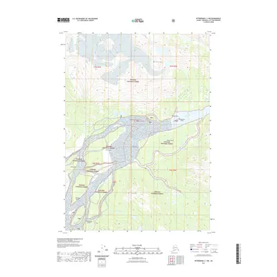 2021 Petersburg C-1 NW2021 Print · USGSThe Stikine River delta is captured here in fine detail during the early twenty-first century, showing the complex braids of the Tongass National Forest. Researchers can trace the unique geography of The Desert and identify specific landmarks like Hooligan Point and Fifteenmile Island.
 - 2021 Map of Ketchikan D-6 SW, 2021 Print
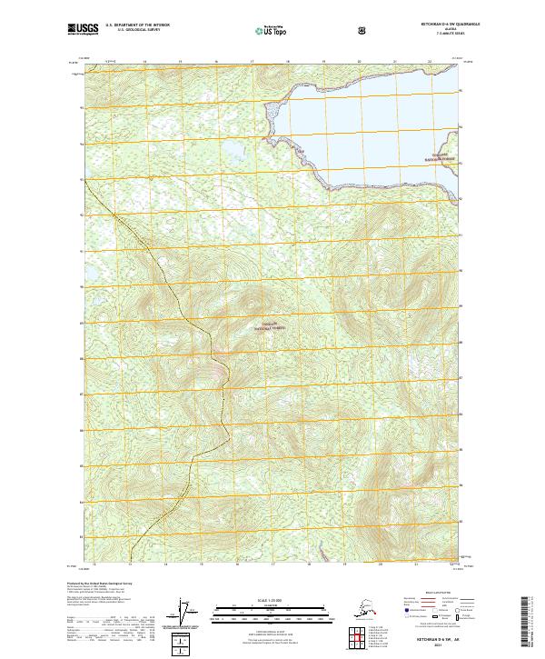 2021 Ketchikan D-6 SW2021 Print · USGSSoutheast Alaska’s coastal wilderness is documented here as it appeared in the 2020s, showing the remote intersection of two boroughs. Trace the remote drainages of Wasta Cr and Hofstad Cr as they flow through the Tongass National Forest.
 - 2021 Map of Petersburg D-1 NE, 2021 Print
 2021 Petersburg D-1 NE2021 Print · USGSSoutheast Alaska's high alpine and ice fields are mapped here during the early twenty-first century. Researchers can trace the international border and locate significant glacial features like Leconte Glacier, Great Glacier, and Mt Pratt.
 - 2021 Map of Craig D-2 NW, 2021 Print
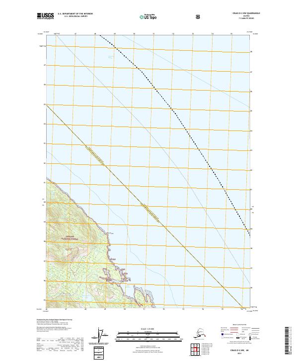 2021 Craig D-2 NW2021 Print · USGSThe eastern coast of Prince of Wales Island comes into focus during the early twenty-first century, showing the rugged intersection of timberland and tidal waters. Map collectors and researchers can trace forest access via the 3025500 Road Trl or locate landmarks like Ratz Harbor and Trumpeter Lake.
 - 2021 Map of Bradfield Canal B-3 SW, 2021 Print
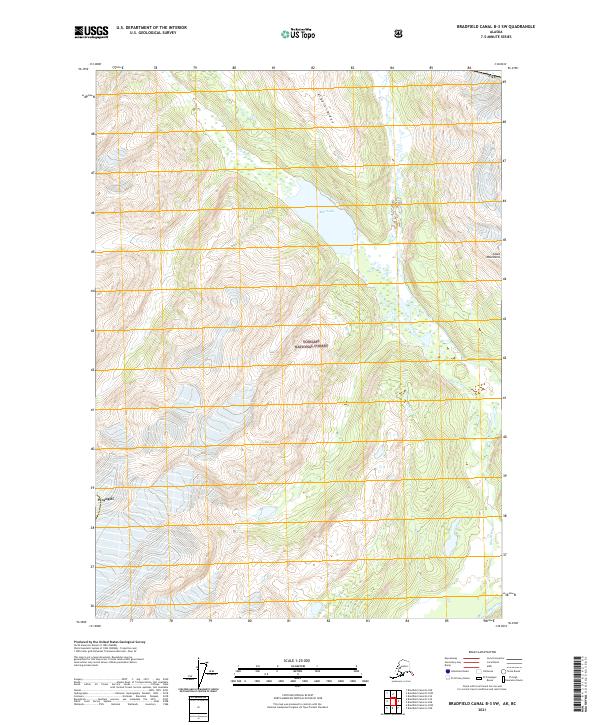 2021 Bradfield Canal B-3 SW2021 Print · USGSIn the southeastern panhandle during the early twenty-first century, this survey tracks the complex glacial hydrology of the Tongass National Forest. Researchers can trace the path of the Blue River from Blue Lake down to its confluence with the Unuk River.
 - 2021 Map of Petersburg C-1 SE, 2021 Print
 2021 Petersburg C-1 SE2021 Print · USGSThe wilderness of Southeast Alaska is documented here in the early twenty-first century, showing the remote high-country drainage basins. Topographers and hikers can trace the alpine terrain surrounding Mt Waters, Horseshoe Basin, and the waters of Andrew Creek.
 - 2021 Map of Petersburg B-1 SW, 2021 Print
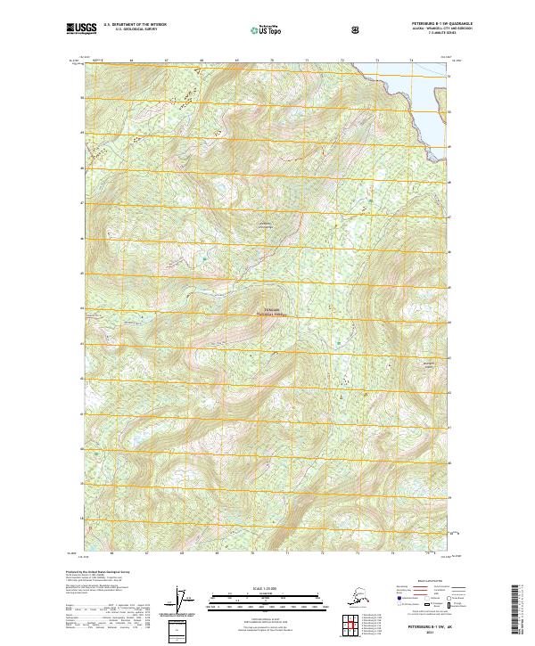 2021 Petersburg B-1 SW2021 Print · USGSWrangell Island in the early twenty-first century is documented here through its network of forest trails and salmon-bearing waters. Local historians and hikers can trace the paths of Garnet Trl and Big Hollow Trl or follow the course of Pats Creek and Thoms Cr.
 - 2021 Map of Petersburg D-1 SE, 2021 Print
 2021 Petersburg D-1 SE2021 Print · USGSThe international boundary meets the ice fields of the Alaska panhandle in this recent survey. Researchers can trace the massive Shakes Glacier as it feeds into Shakes Lake near the slopes of Castle Mtn.
 - 2021 Map of Ketchikan D-6 NW, 2021 Print
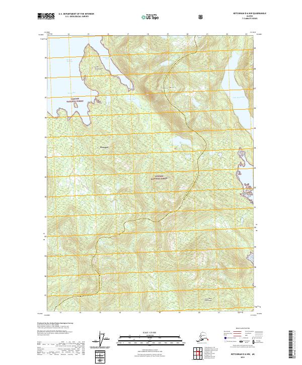 2021 Ketchikan D-6 NW2021 Print · USGSThe coastal wilderness of the Cleveland Peninsula is captured here in the early twenty-first century, showing the intersection of maritime passages and forest land. Researchers can trace borough boundaries near Santa Anna Inlet, Table Mtn, and the shores of Lake McDonald.
 - 2021 Map of Petersburg C-2 NE, 2021 Print
 2021 Petersburg C-2 NE2021 Print · USGSSoutheast Alaska's glacial terrain and coastal waterways are meticulously documented in this recent survey. Researchers can trace the maritime geography of North Arm, locate high points like Wilkes Peak, and explore the island topography of Farm Island and the Wilkes Range.
 - 2021 Map of Petersburg B-3 SE, 2021 Print
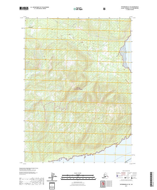 2021 Petersburg B-3 SE2021 Print · USGSThe coastal wilderness of Southeast Alaska is documented here during the early twenty-first century within the Wrangell borough. Researchers can trace remote backcountry routes like the Vial Divide Trl and Mustang Lake Trl as they wind toward the Stikine Strait.
 - 2021 Map of Bradfield Canal B-6 NE, 2021 Print
 2021 Bradfield Canal B-6 NE2021 Print · USGSThe high peaks of the Coast Mountains and the drainage of the W Fork Katete River define this wilderness area during the early 2020s. Trace the untouched terrain and glacial boundaries within the Tongass National Forest in this detailed topographic study.
 - 2021 Map of Bradfield Canal A-4 NW, 2021 Print
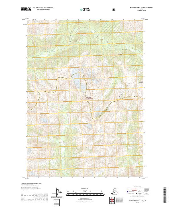 2021 Bradfield Canal A-4 NW2021 Print · USGSDeep in the Alaskan panhandle, this recent survey captures the intersection of the Tongass National Forest and the Coast Mountains. Researchers can trace the borough boundaries of Wrangell City and Borough across these high peaks.
 - 2021 Map of Bradfield Canal C-6 SE, 2021 Print
 2021 Bradfield Canal C-6 SE2021 Print · USGSThe international border and the glacial waters of the Katete River define this 2021 study of the northern Coast Mountains. Researchers can trace the rugged topography of the Tongass National Forest and locate high-altitude landmarks like Cone Mtn and Black Crag.
 - 2021 Map of Bradfield Canal B-5 NE, 2021 Print
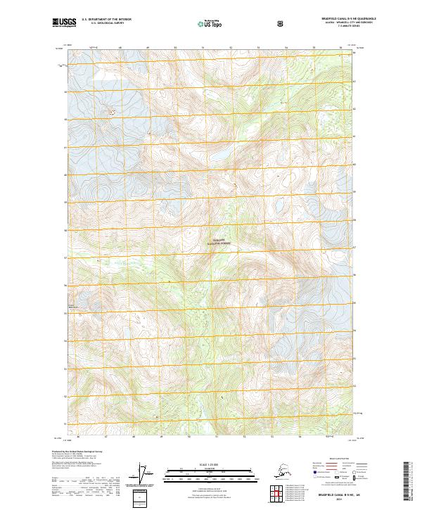 2021 Bradfield Canal B-5 NE2021 Print · USGSHigh in the Southeast Alaska panhandle during the early twenty-first century, this survey tracks the steep topography of the Coast Mountains. Researchers can trace the glacial drainages of the S Fork Craig River and the N Fork Bradfield River through the Tongass National Forest.
 - 2021 Map of Bradfield Canal A-5 SE, 2021 Print
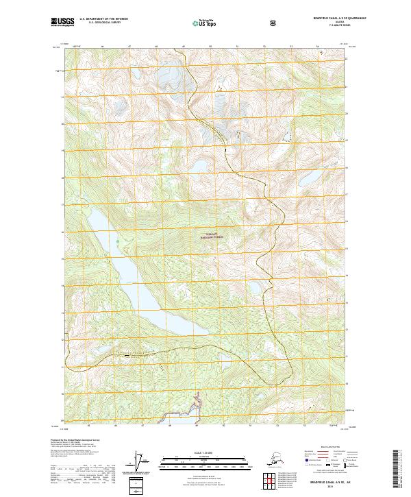 2021 Bradfield Canal A-5 SE2021 Print · USGSSoutheast Alaska in the early twenty-first century remains a landscape of wilderness and waterways. Local historians and researchers can trace the reach of the Tongass National Forest and the remote shores of Eagle Lake and Bell Arm.
 - 2021 Map of Bradfield Canal C-5 SE, 2021 Print
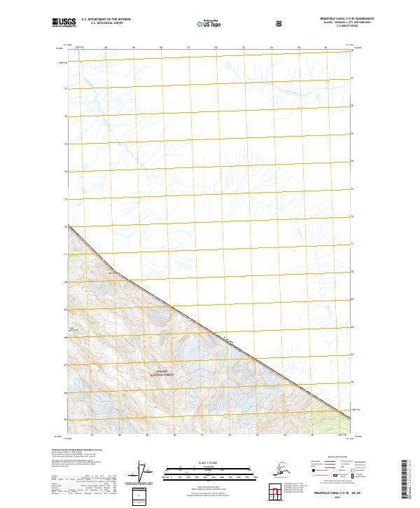 2021 Bradfield Canal C-5 SE2021 Print · USGSThe international boundary between Alaska and Canada cuts across this high-elevation wilderness in the early twenty-first century. Researchers can trace the drainage of the Inhini River and Katete River beneath the prominent peak of Mt Fawcett.
 - 2021 Map of Bradfield Canal B-5 NW, 2021 Print
 2021 Bradfield Canal B-5 NW2021 Print · USGSSoutheast Alaska’s glacial wilderness is captured in this modern survey within Wrangell City and Borough. Hikers and researchers can trace the course of the Harding River as it flows beneath the ice-clad peaks of the Coast Mountains.
 - 2021 Map of Bradfield Canal A-5 NW, 2021 Print
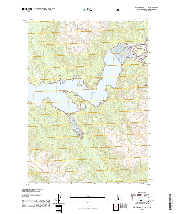 2021 Bradfield Canal A-5 NW2021 Print · USGSCoastal wilderness and glacial waterways define this part of the Tongass National Forest in the early 2020s. Researchers can trace the complex shoreline from Duck Point through the drainages of Eagle River and Harding River as they meet Bradfield Canal.
 - 2021 Map of Bradfield Canal B-6 SE, 2021 Print
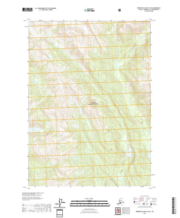 2021 Bradfield Canal B-6 SE2021 Print · USGSThe Wrangell wilderness is documented here in the early twenty-first century, showcasing the remote drainages of the Tongass National Forest. Trace the path of the Harding River as it cuts through the mountains past Campbell Lake and Tom Lake.
 - 2021 Map of Bradfield Canal A-5 SW, 2021 Print
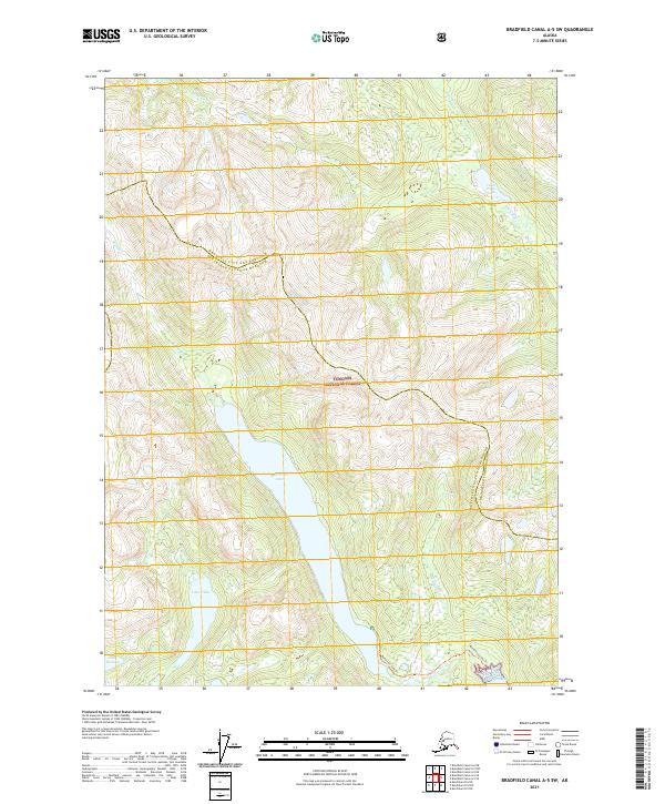 2021 Bradfield Canal A-5 SW2021 Print · USGSSoutheast Alaska’s coastal wilderness is documented here in the early twenty-first century, showing the intersection of two major boroughs. Researchers can trace the path of the Reflection Lake Trl between Reflection Lake and the coastal waters of Short Bay.
Showing maps 1-25 of 108
Top cities of Wrangell
Frequently asked questions
- What are the different types of historical maps available for Wrangell?
- What is the oldest map of Wrangell?
- Where can I purchase historical maps of Wrangell for my home or office?
- Where can I download high-res historical maps of Wrangell?
- Are there historical topographic maps available for Wrangell?
- Is there historical aerial imagery available for Wrangell?
- Where are historical maps of Wrangell sourced from?